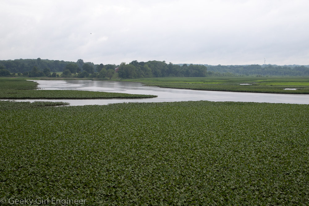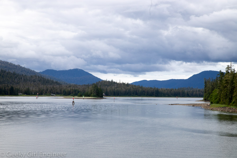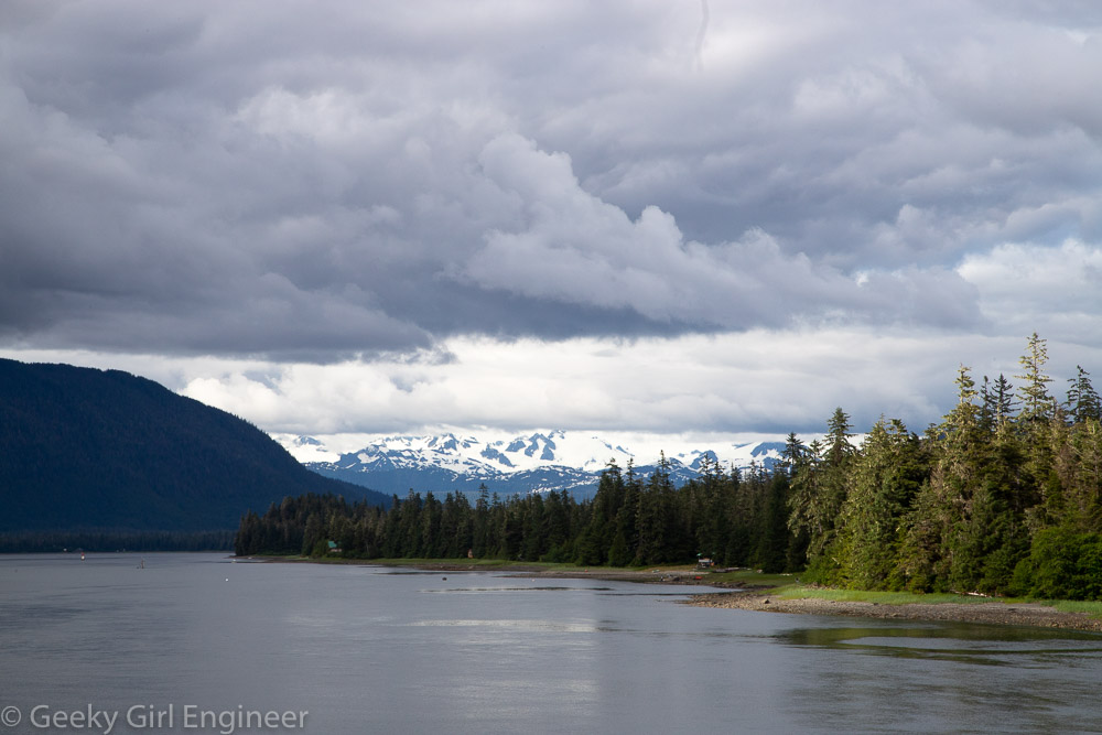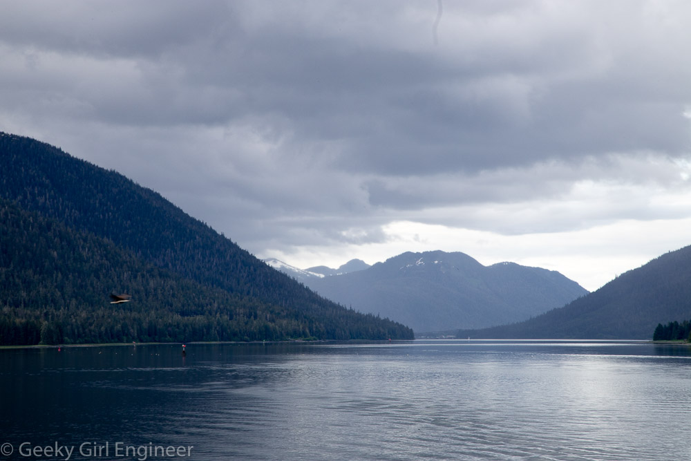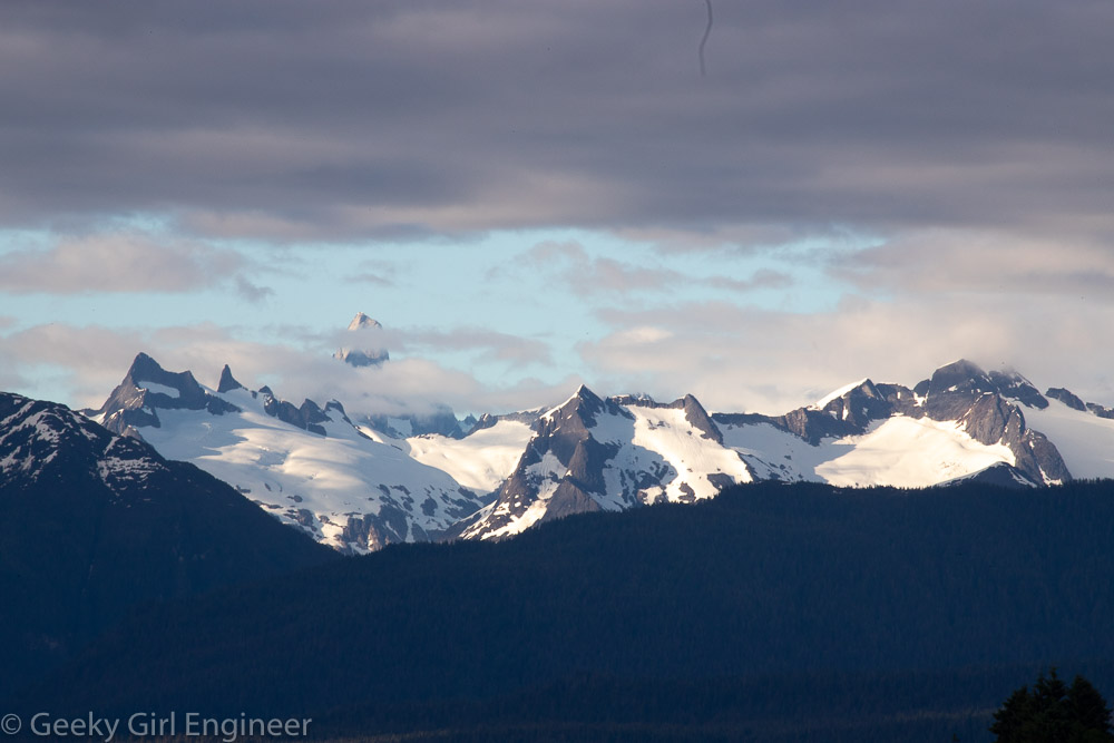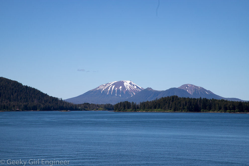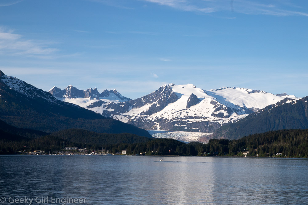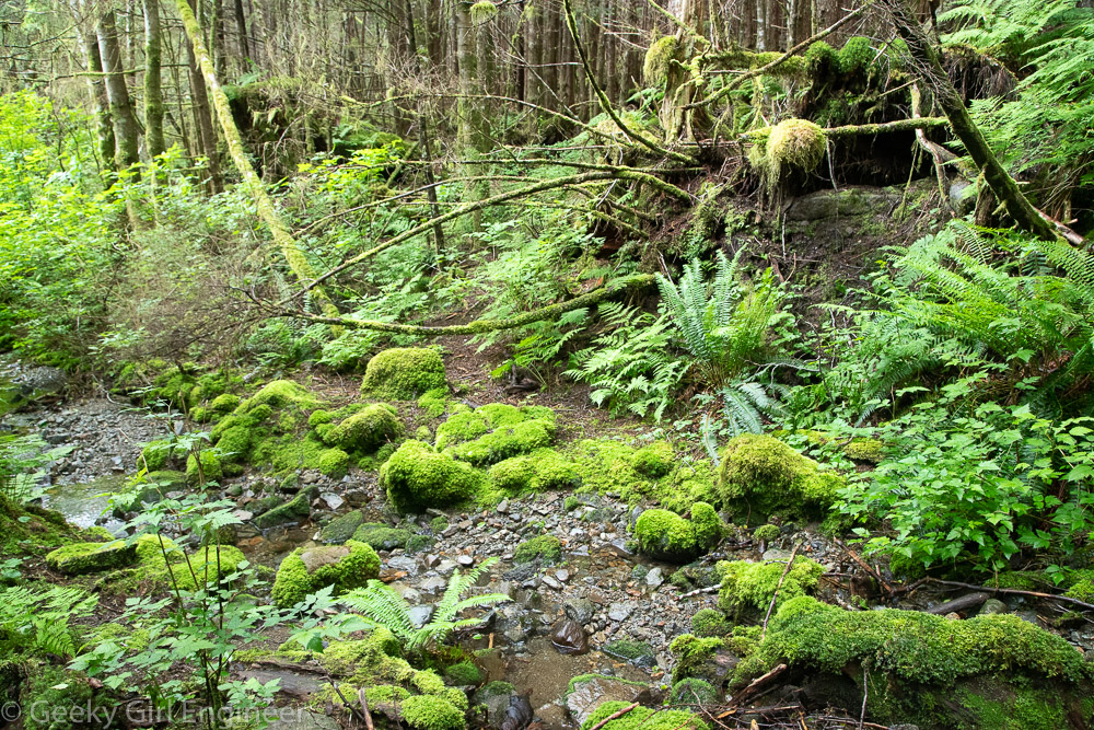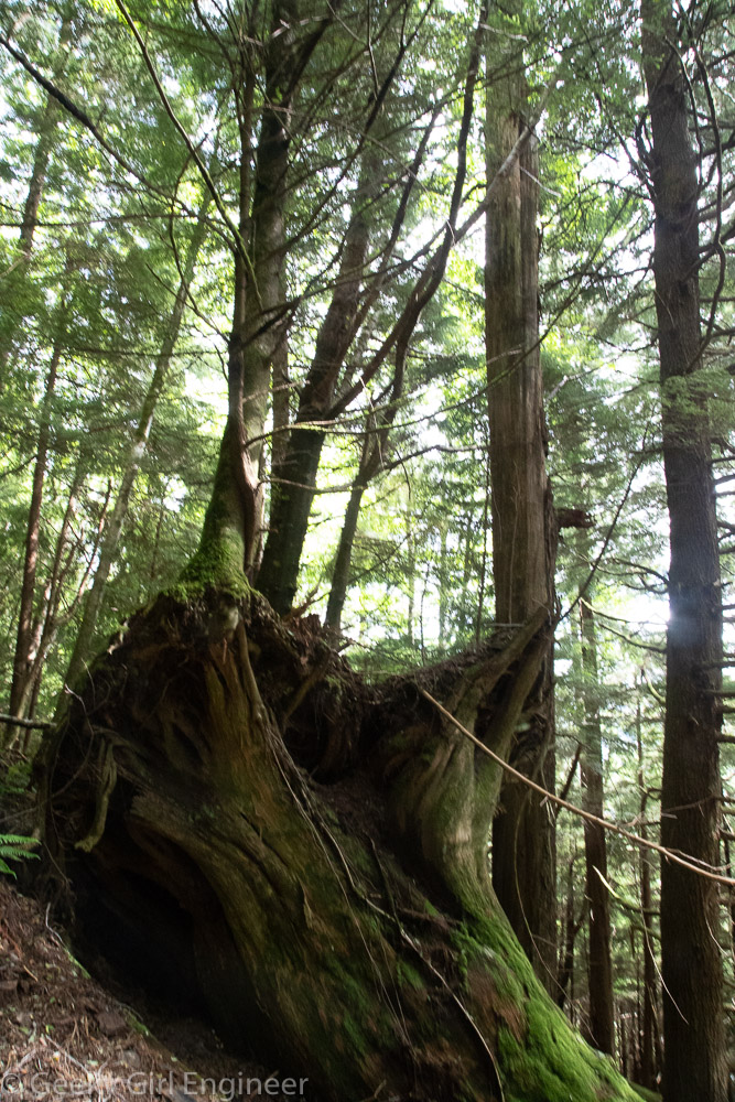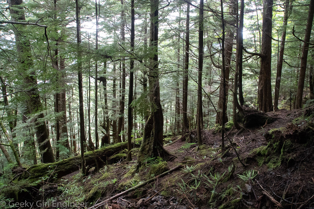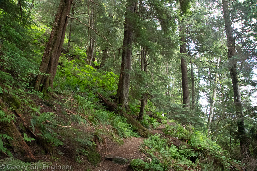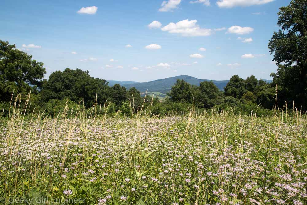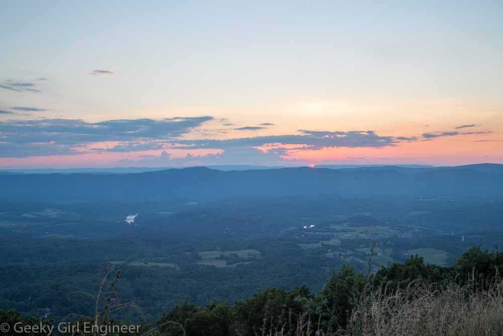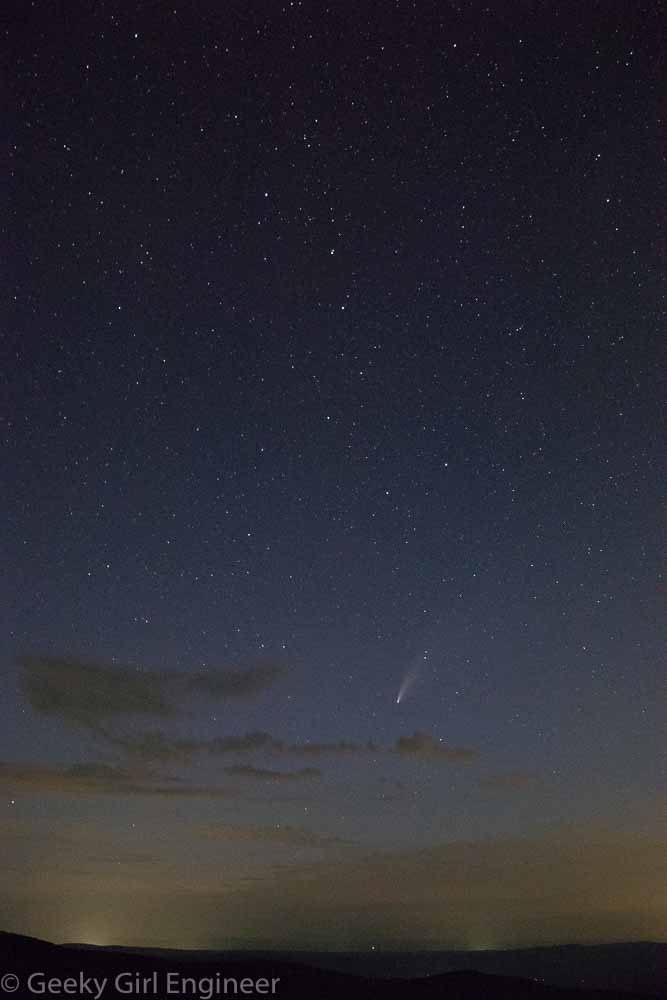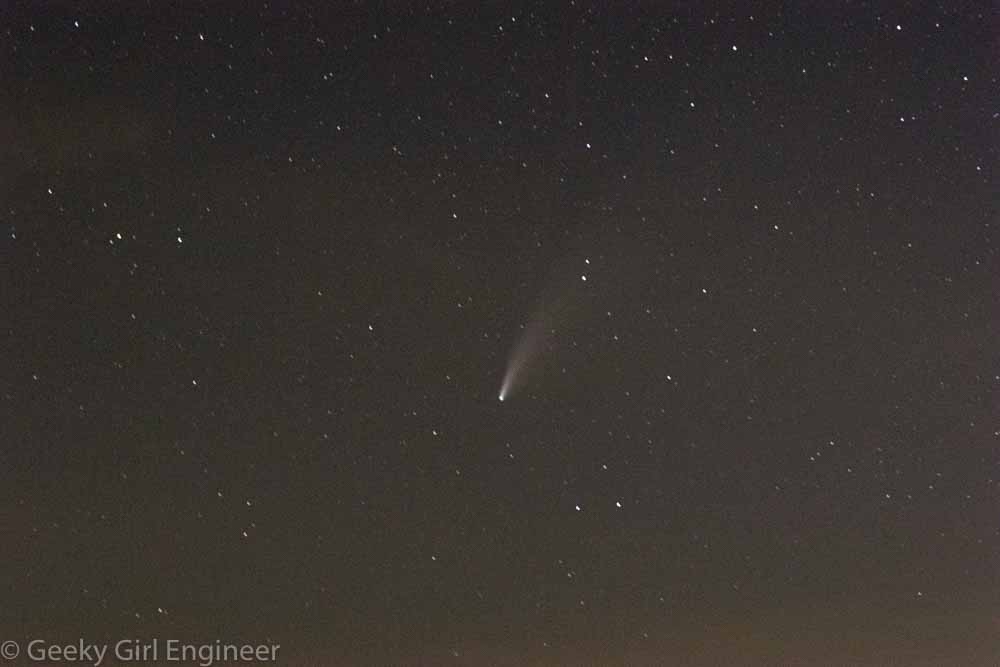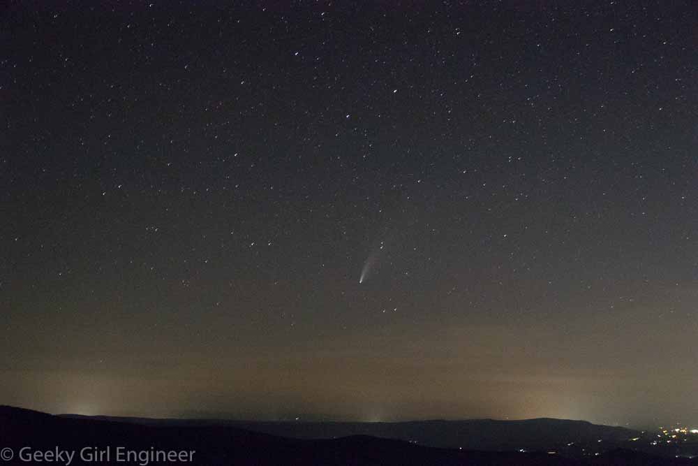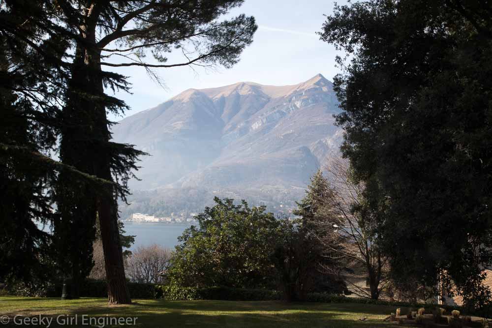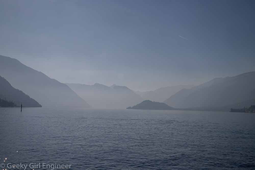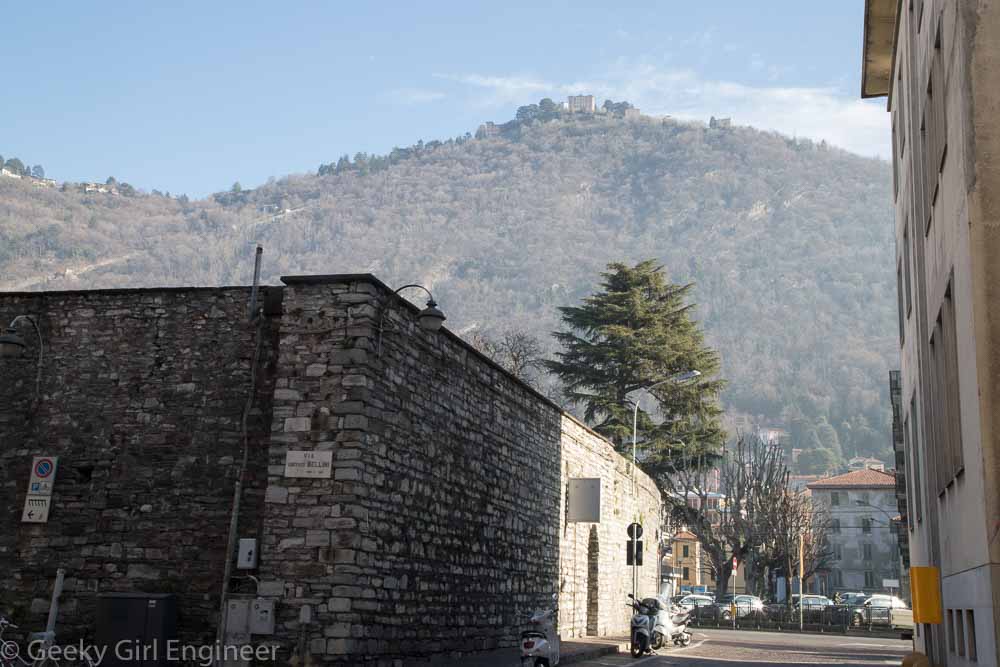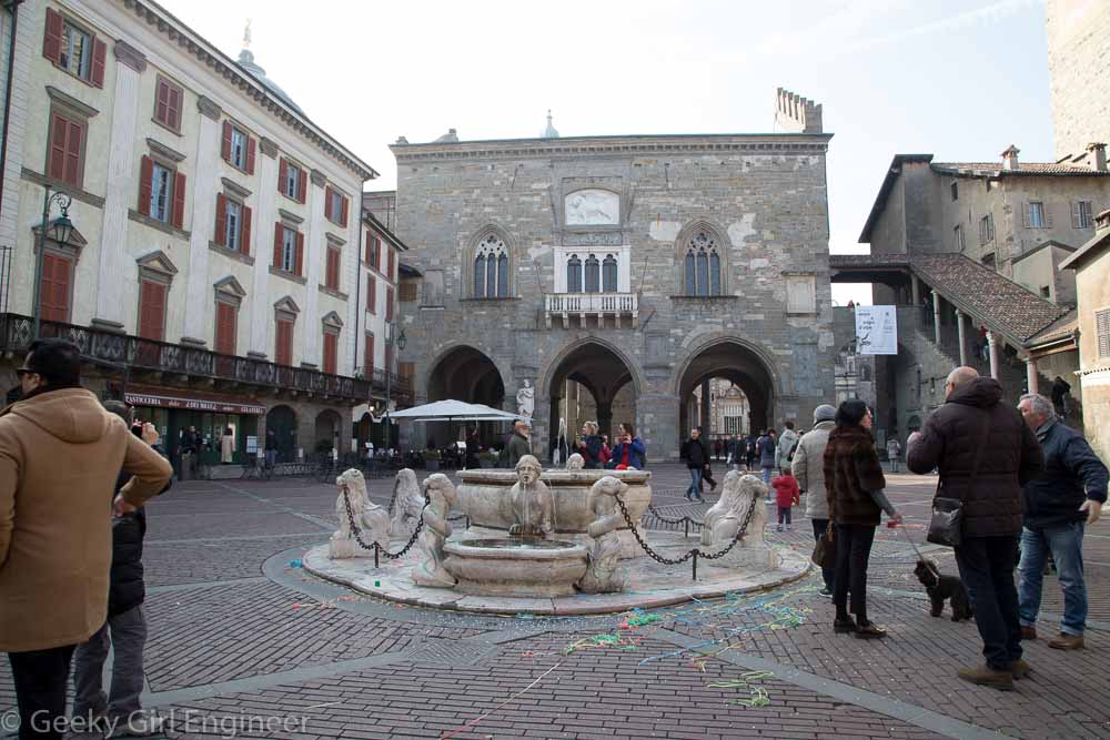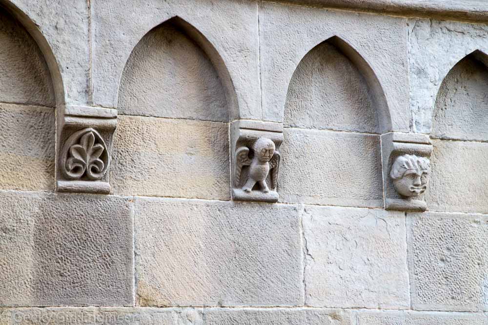
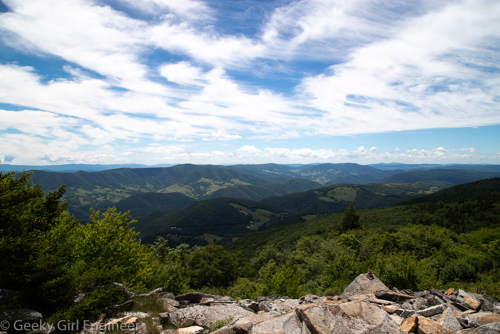
I’m taking a leisurely road trip through West Virginia. The main destination is Charleston as this trip will add the West Virginia State Capitol to my list of state capitols, as I am trying to see them all. Along the way though, I am just enjoying the drive and finding detours and stops to make along the way. The first detour in West Virginia was Spruce Knob, which is the peak of Spruce Mountain and the highest point in West Virginia. It is a lovely drive to get there, as long as you don’t mind curving mountain roads including the final part which is forestry road and not actually wide enough for two vehicles. At the top of the mountain, there is a short trail that you can take to give you several wonderful vantage points of the surrounding area. There is also an observation tower of which I don’t understand the point because it provides views of the surrounding trees and that is about it. However, the views from the trail are worth the detour from the road.
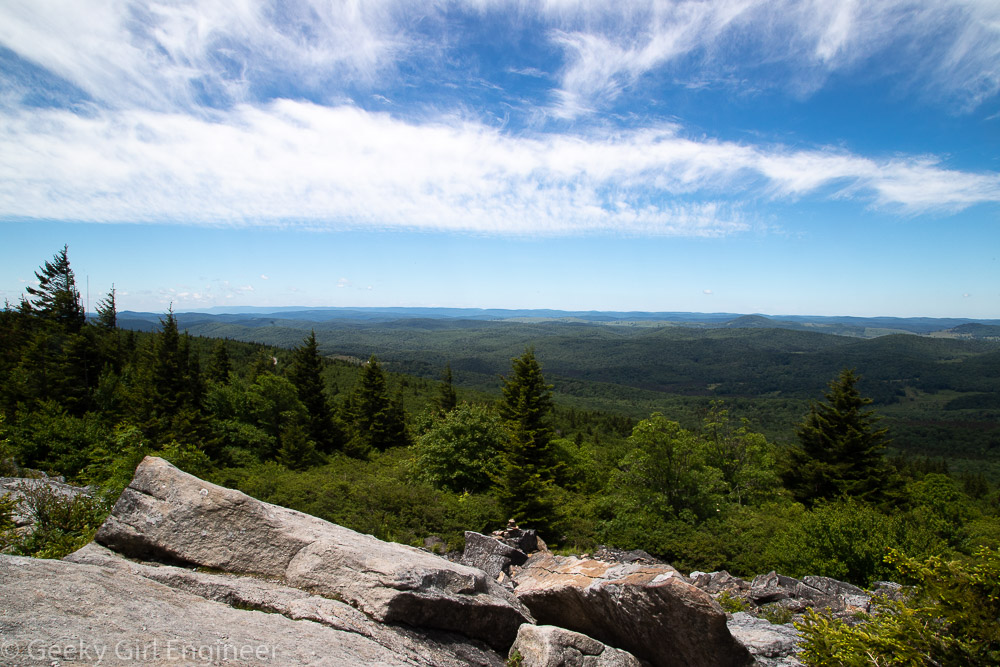
View from Spruce Knob
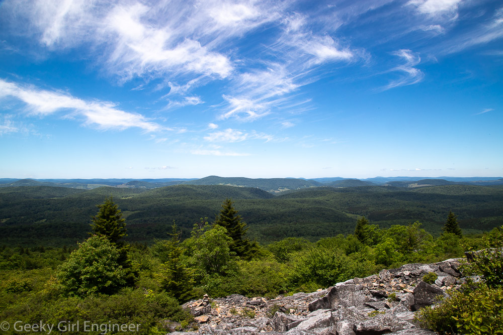
View from Spruce Knob
View from Spruce Knob