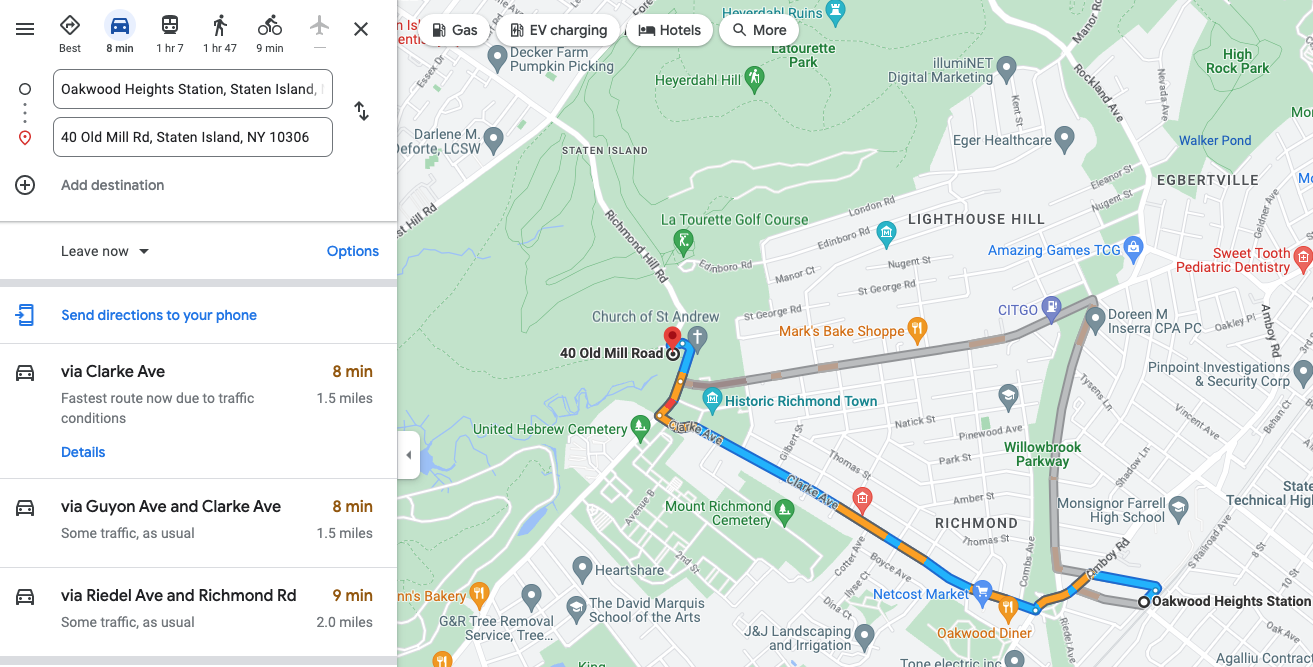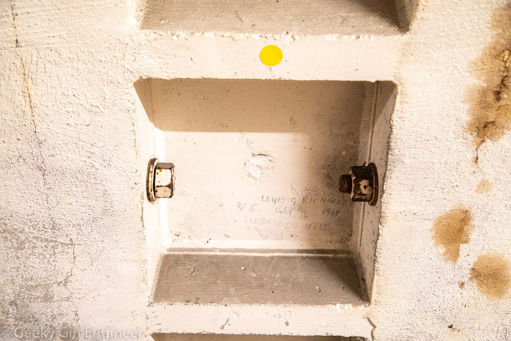


Powerhouse Arts is a new arts and fabrication studio and rental venue housed in a renovated power station in Brooklyn, New York, and they hosted an open house today through Open House New York.The building has been completed renovated, but they have left some of the graffiti on the walls from when the place was essentially abandoned, and squatters lived there. The facility now houses several different art studio areas like a ceramics area and print shop. It also has huge spaces that can be rented. The facility is right on the Gowanus Canal, and it has wonderful views of Brooklyn and Manhattan.
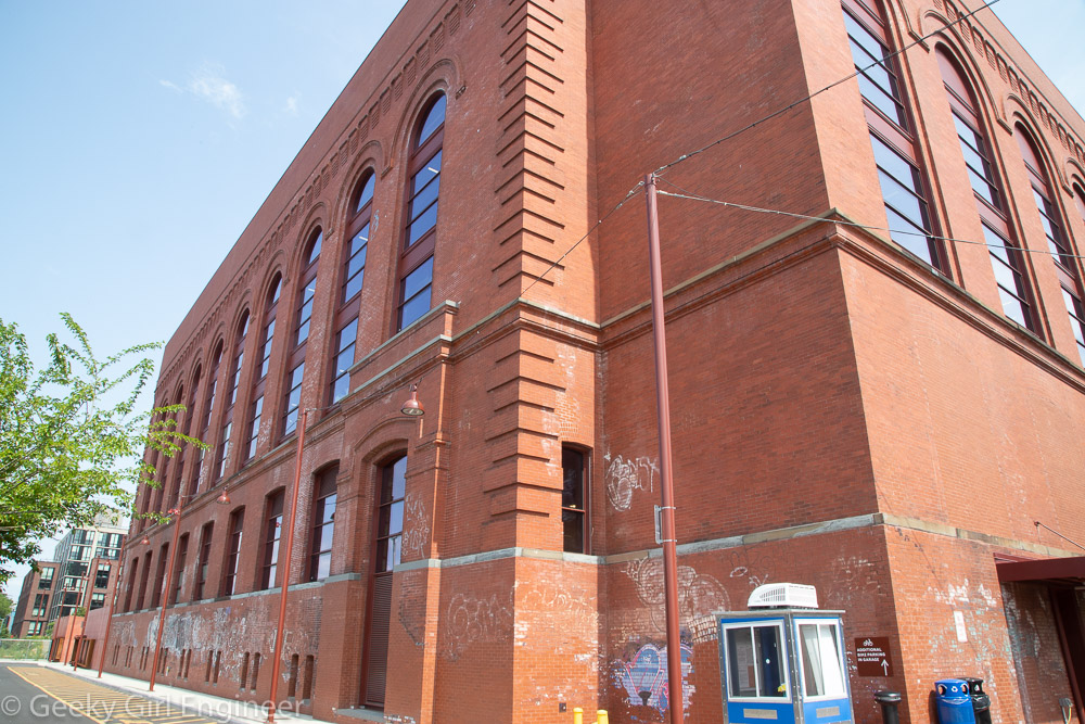
Powerhouse Arts located in an old power station
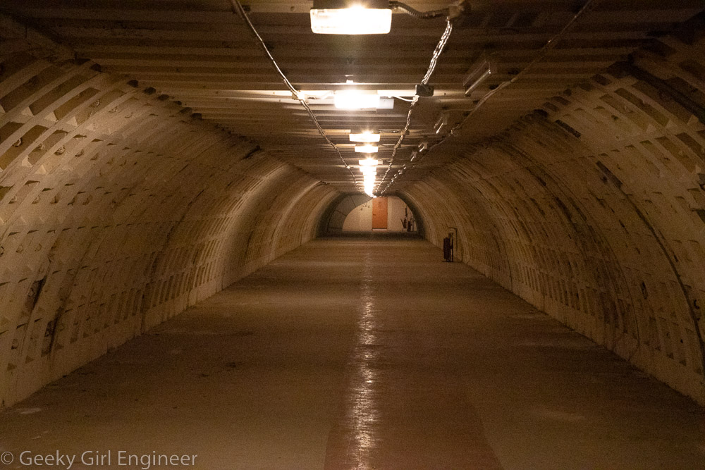
Former steam production area
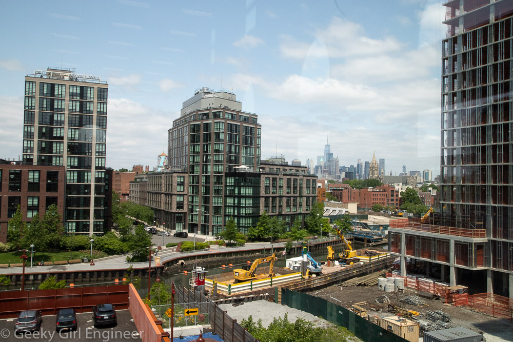
Downtown Manhattan and the Gowanus Canal can be seen
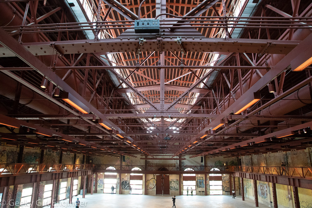
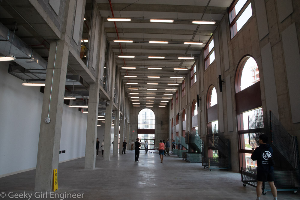
Former turbine hall
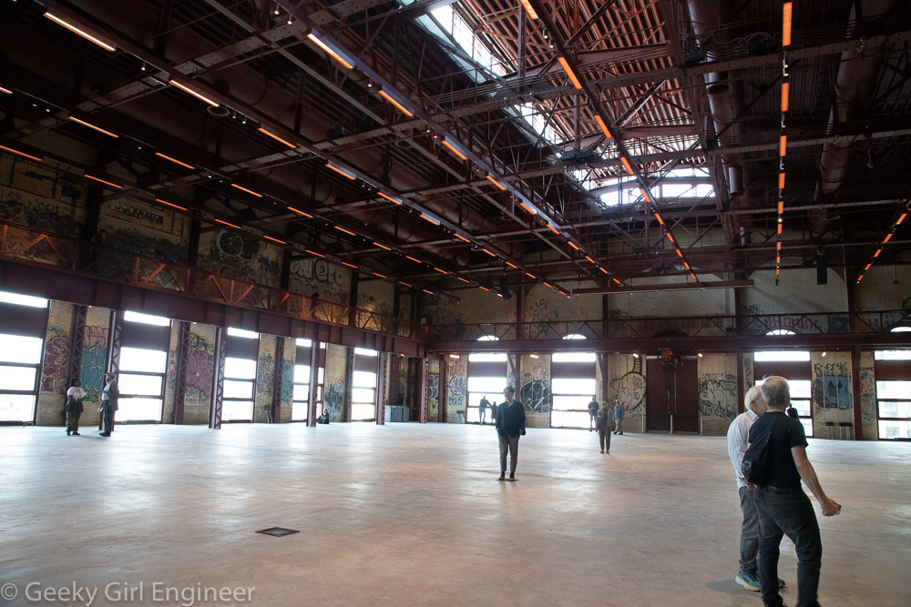
Former turbine hall
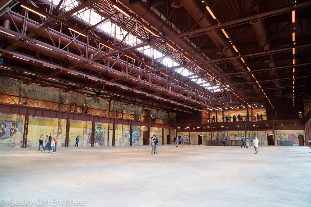
Former turbine hall
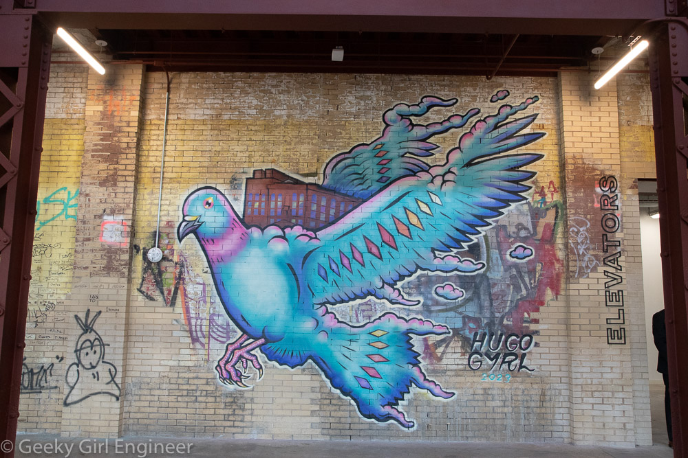
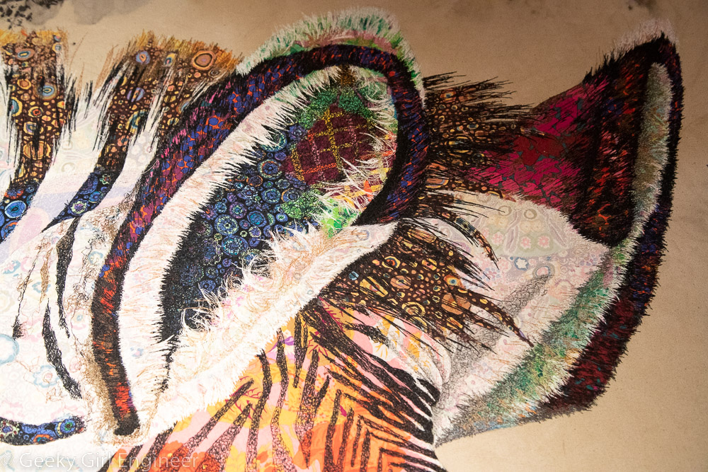
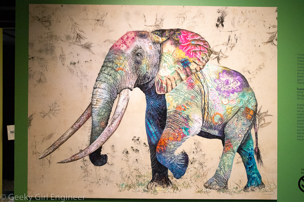
Newly commissioned artwork in the Grand Hall
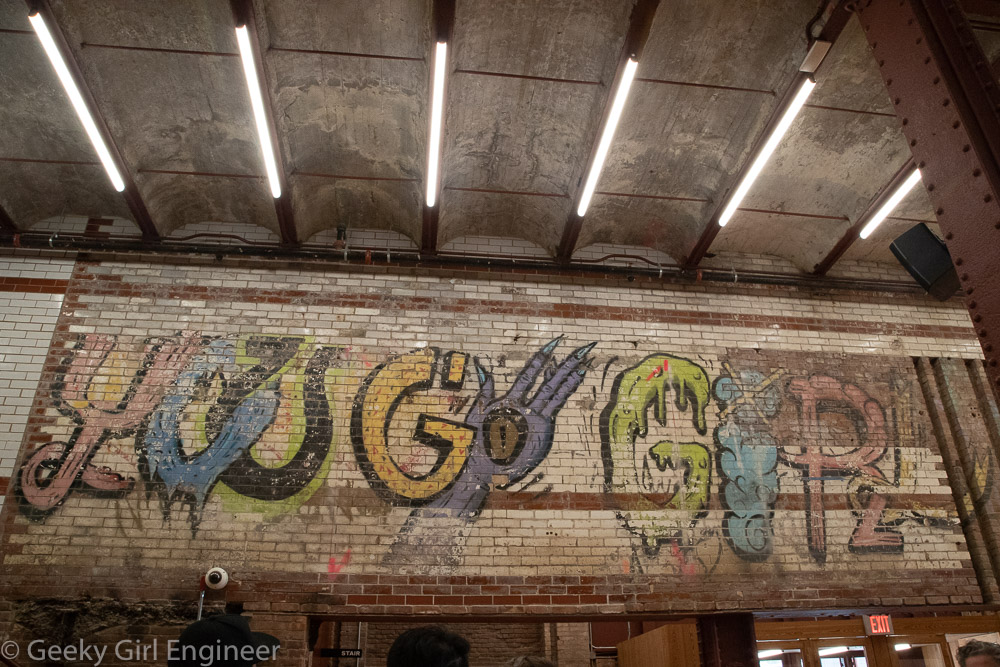
Graffitti in entrance hall