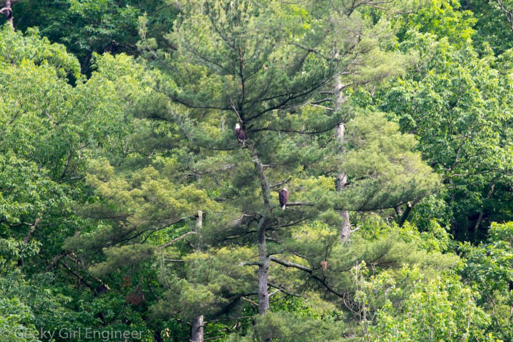
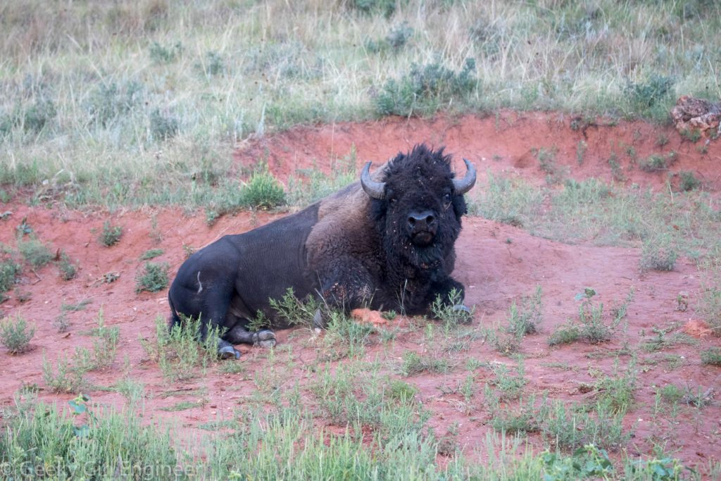
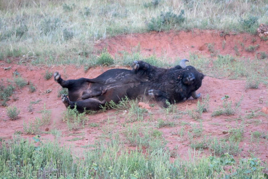
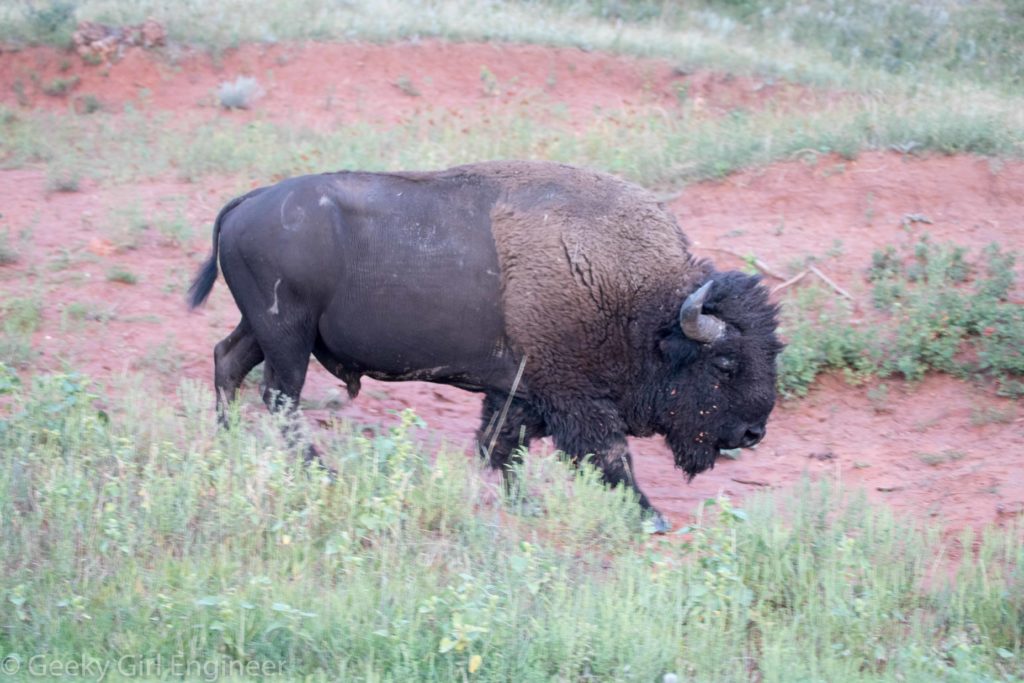
I saw and photographed quite a few bison while at Custer State Park, so I wanted to share some more photos in a separate blog post of just them. The first four photographs are of the same bison, who rather enjoys rolling around in the dirt.
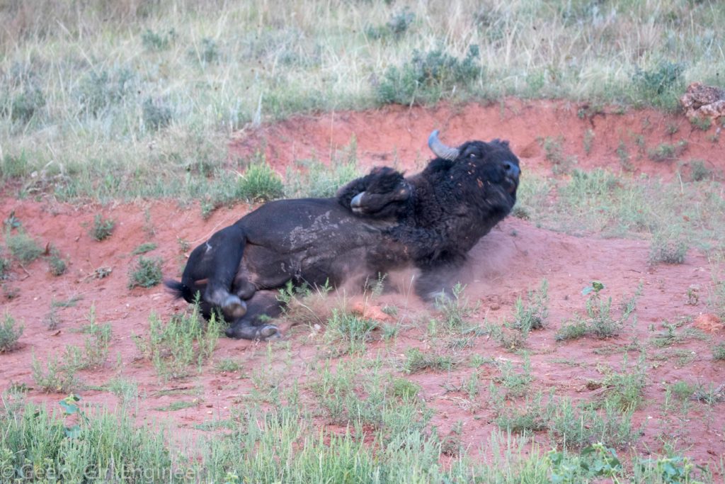
Buffalo who likes to roll in dirt
Buffalo who likes to roll in dirt
Buffalo who likes to roll in dirt
Buffalo who likes to roll in dirt

Buffalo
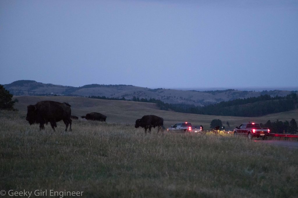
Buffalo creating traffic jam in Custer State Park
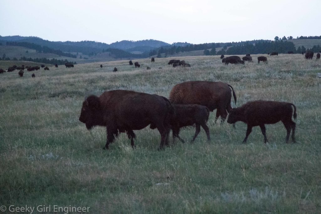
Herd of buffalo