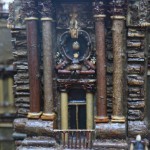
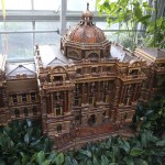
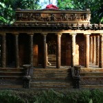
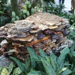
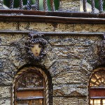
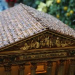
The United States Botanical Garden has an annual holiday exhibit that consists of fantasy model trains running through, by, and over various bridges, tunnels, and model structures. They also have models of numerous DC structures and buildings. All the models except the trains are made of natural materials and are built with amazing detail. They are simply gorgeous and the use of natural material is just genius. The model train exhibit also smells wonderful due to all the cedar in the room. Definitely worth the visit.
-
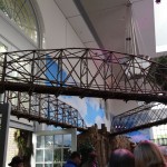
- Three bridges at model train exhibit
-
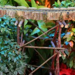
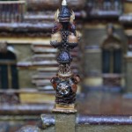
- Railroad support
-
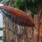
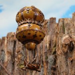
- Blimp at model train exhibit
-
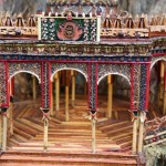
- Train exhibit pavilion
-
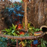
- Seattle Space Needle
-
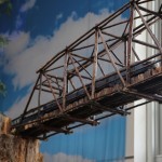
- Model train on truss bridge
-
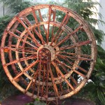
- Ferris wheel at model train exhibit
-
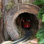
- Model train tunnel
-
- Unisphere at model train exhibit
-
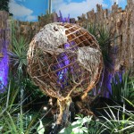
- Hot air balloon at model train exhibit
-
- Model train exhibit
-
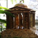
- Jefferson Memorial
-
- Library of Congress
-
- Library of Congress
-
- Library of Congress
-
- Lincoln Memorial
-
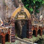
- National Museum of the American Indian
-
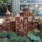
- Smithsonian Institute The Castle
-
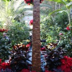
- US Botanical Garden
-
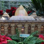
- US Botanical Garden
-
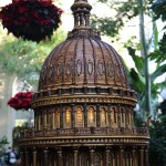
- US Capitol
-
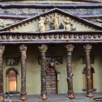
- US Capitol
-
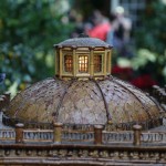
- US Capitol
-
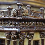
- US Capitol
-
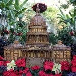
- US Capitol
-

- US Supreme Court
-
- US Supreme Court
-
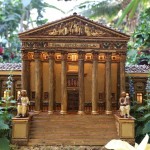
- US Supreme Court
-
- Washington Monument
-
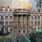
- White House