


Last week, I went for a guided walk with NYC H2O of historic Richmond Town, Staten Island to hear about the history there, in particular how the water affected the history. Historic Richmond Town is a neat little area as it is a park of historic buildings. If I read the information correctly, some of them were moved there to be part of the preservation area. There is a mill there that operated off the creek that runs by the area. Nearby and also part of our walk is Brookfield Park, which is a former landfill. From an environmental engineering perspective, it is nice to see what the landfill has become. Although it is not clear if remediation is ongoing, as the landfill was rather old, so it is not clear what engineering, if any, went into it.
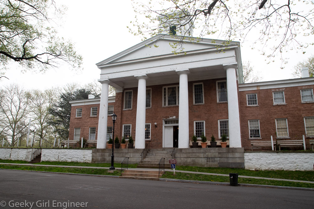
Third County Courthouse
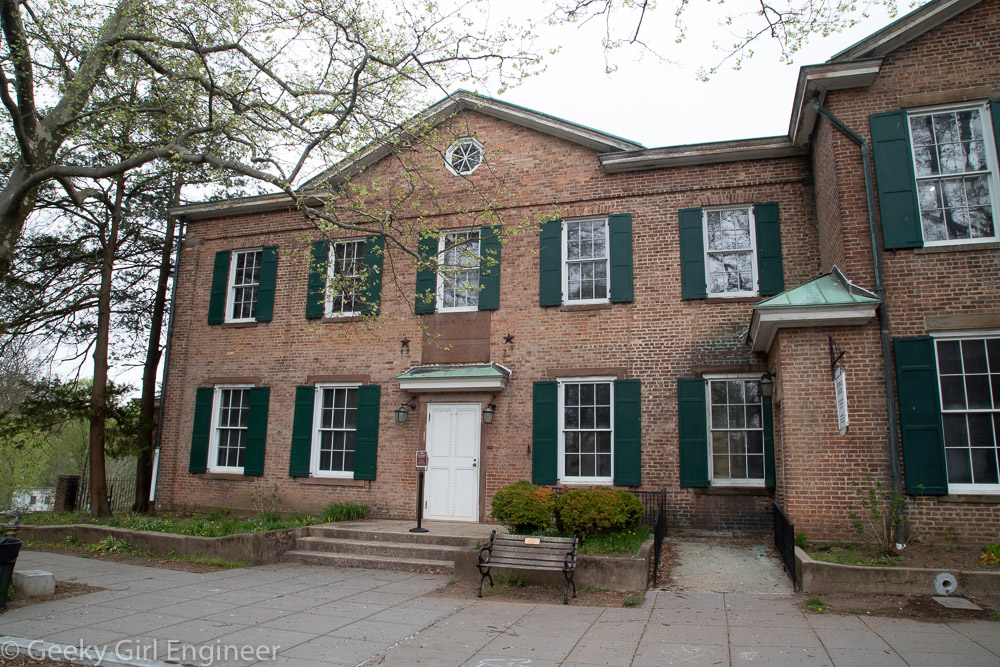
Former County Clerk’s and Surrogate’s Office

Tin Shop
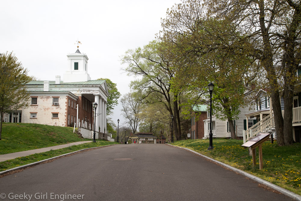
Historic Richmond Town
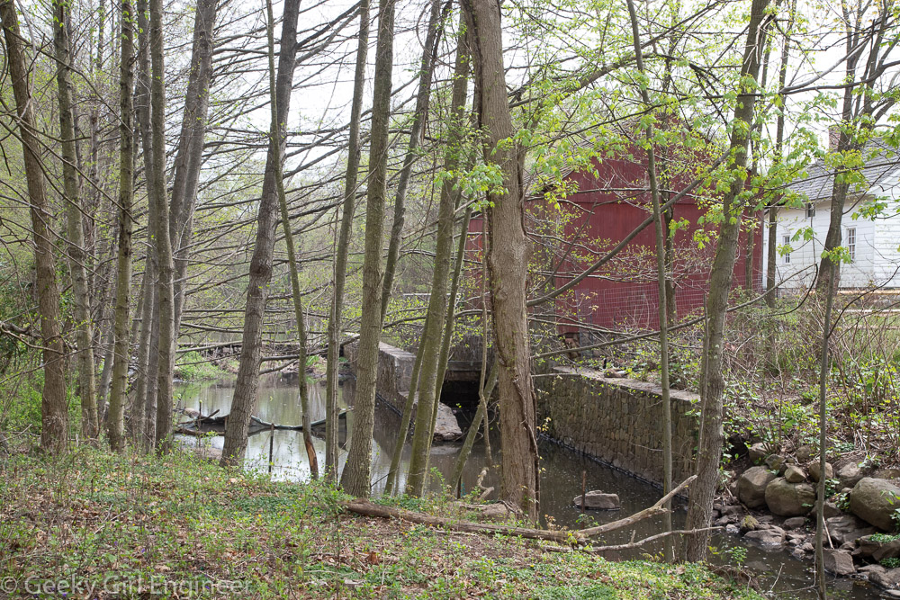
Old Mill
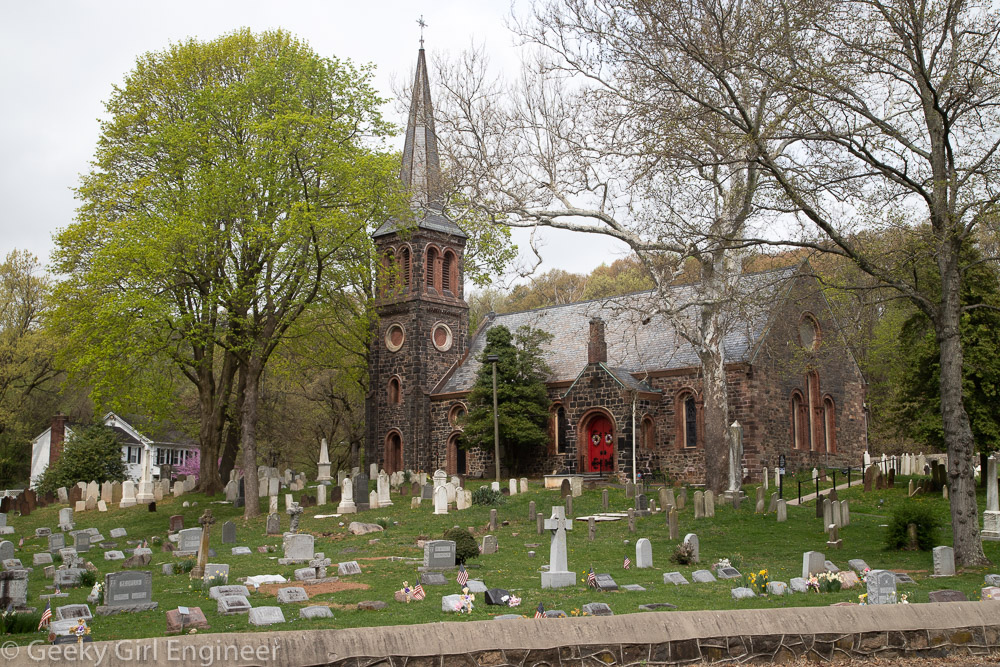
St. Andrew’s Church

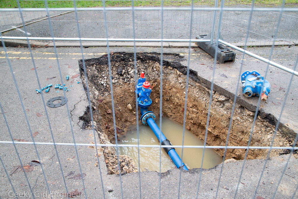
Brookfield Park
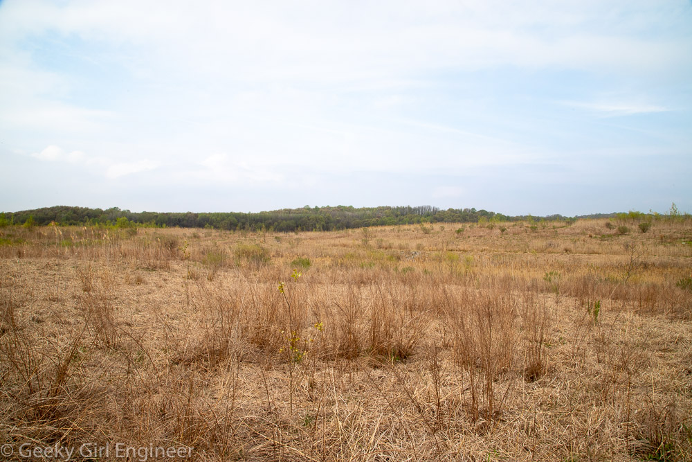
Brookfield Park