Gold Creek Flume Trail

The rain stopped for just a little bit this afternoon, so we went hiking on the Gold Creek Flume Trail, which is close to downtown Juneau. As far as I can tell, the entire trail is on top of a flume that takes water from the Gold Creek to a hydroelectric plant. With the exception of a small segment where a rock slide seems to be on top of the flume, it is a really easy trail to walk on, as you are on wooden planks. It is a nice hike through the woods with views of Gold Creek below and the mountains above. The western end is where the flume heads down the mountain. The eastern end seems to be where the flume separates from Gold Creek.

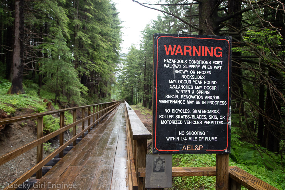
The western end of the trail has a very Alaska warning sign because Alaska. Only missing warning about bears.

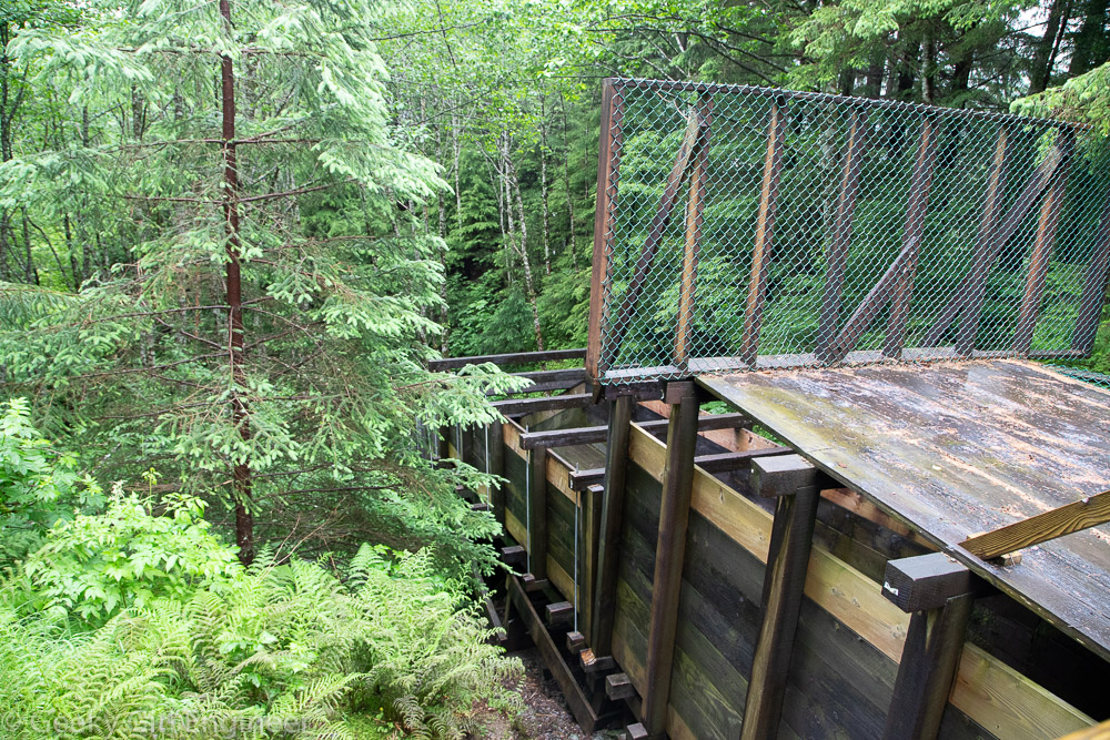
Flume flows down the mountain

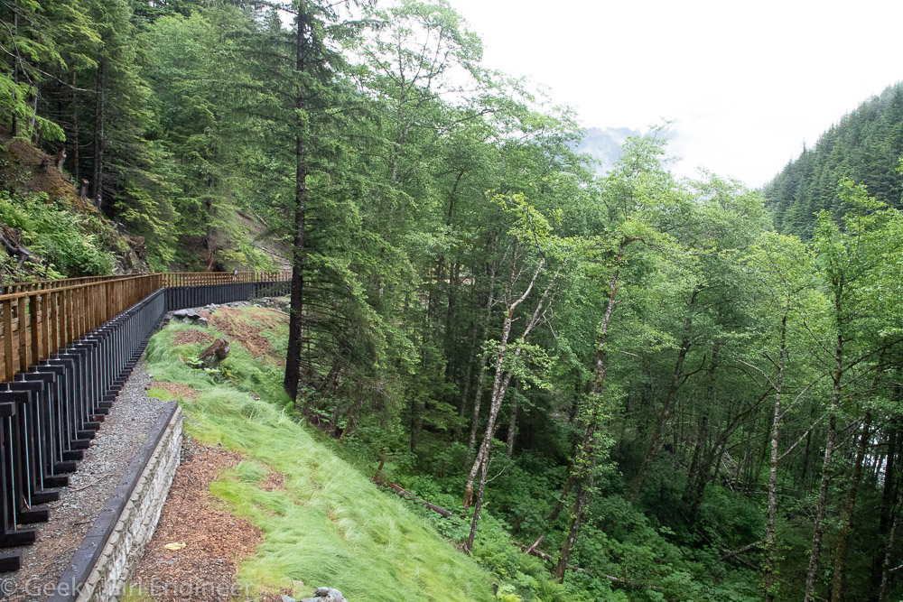
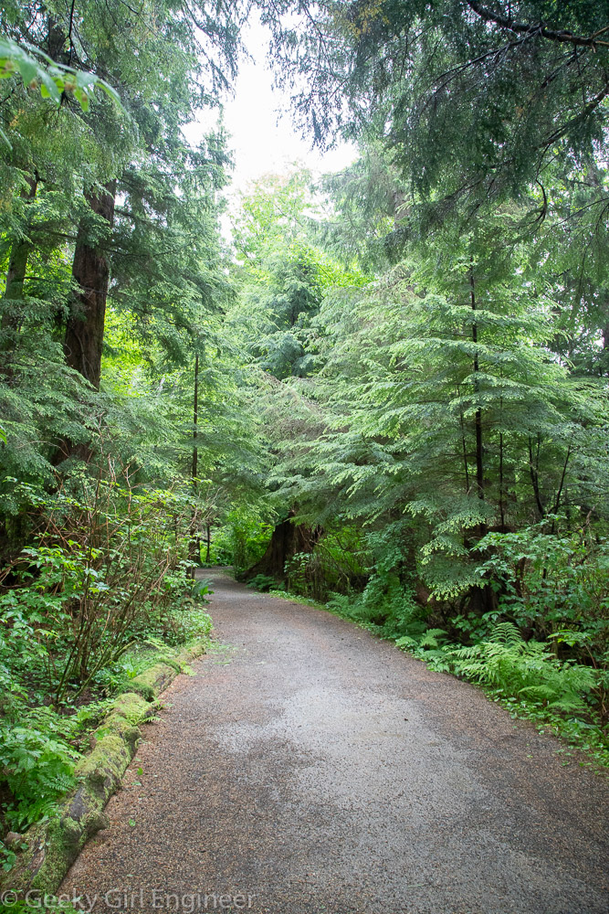
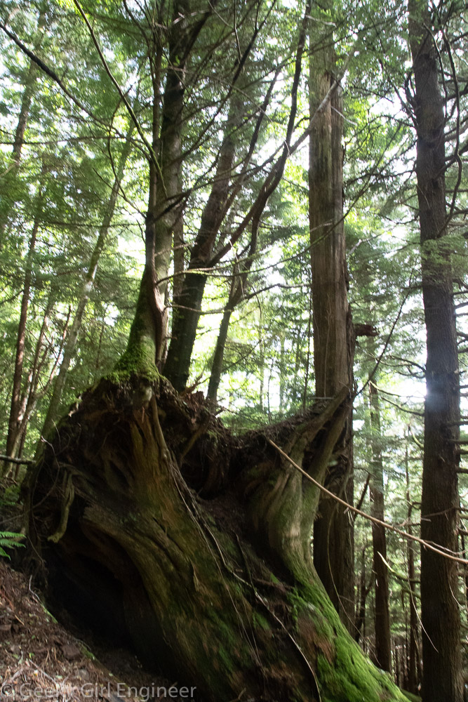
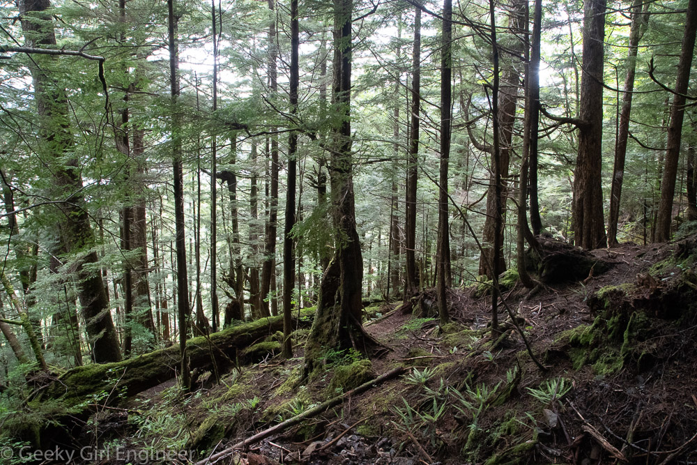
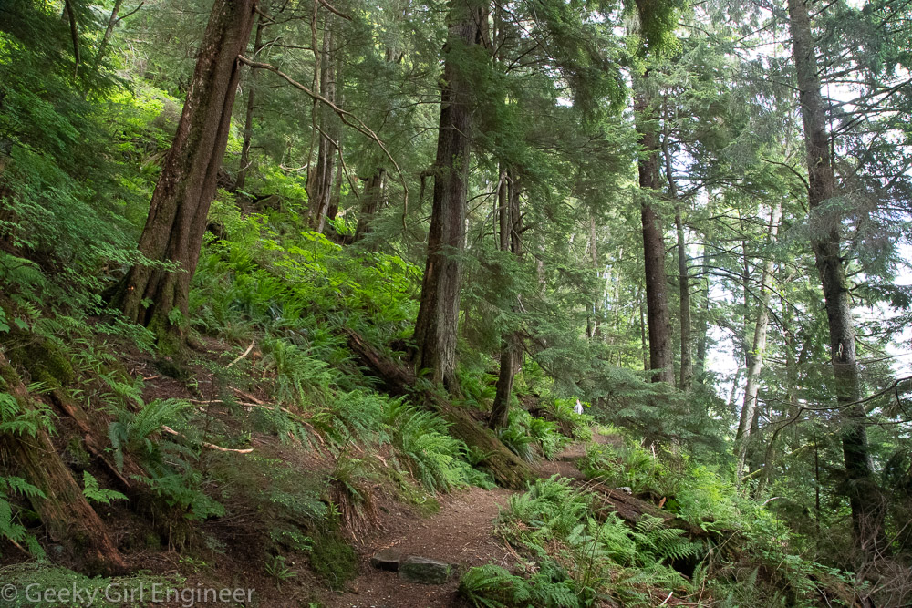
Trail is on top of the flume through the woods

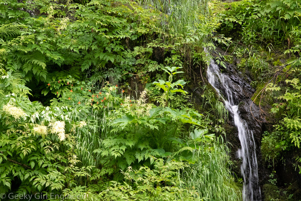
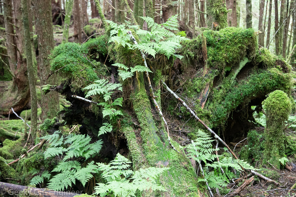
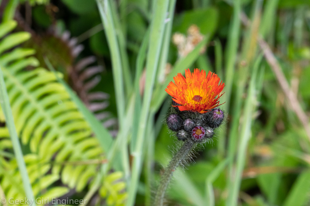
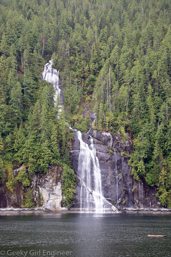
Small waterfalls everywhere
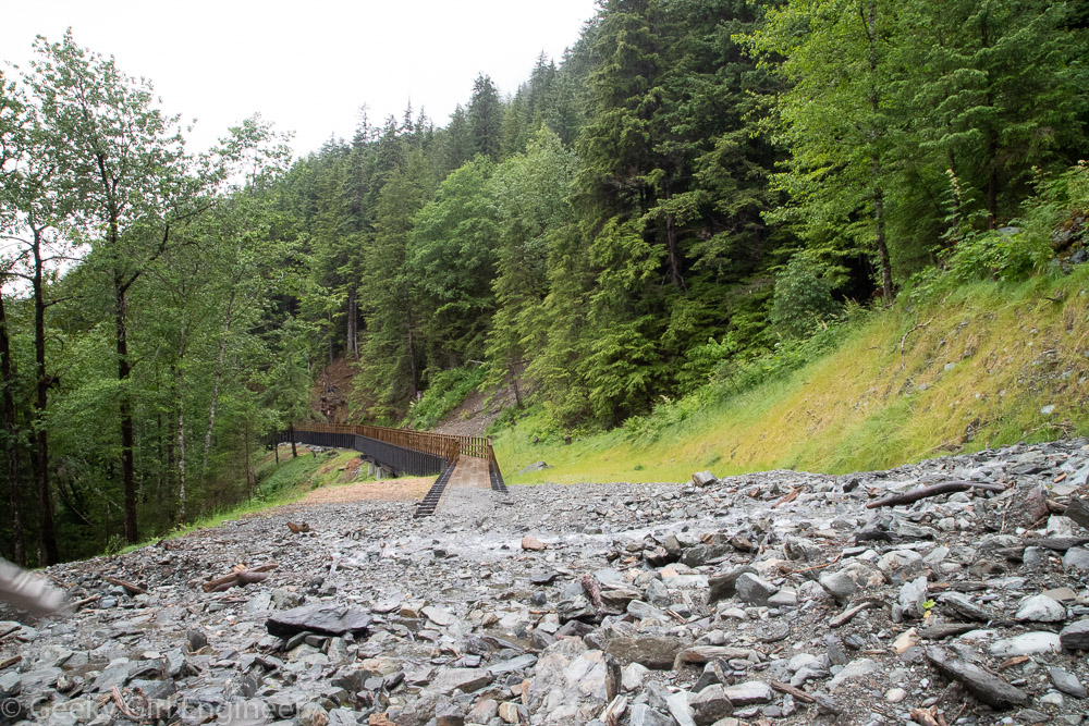
Rock slide area

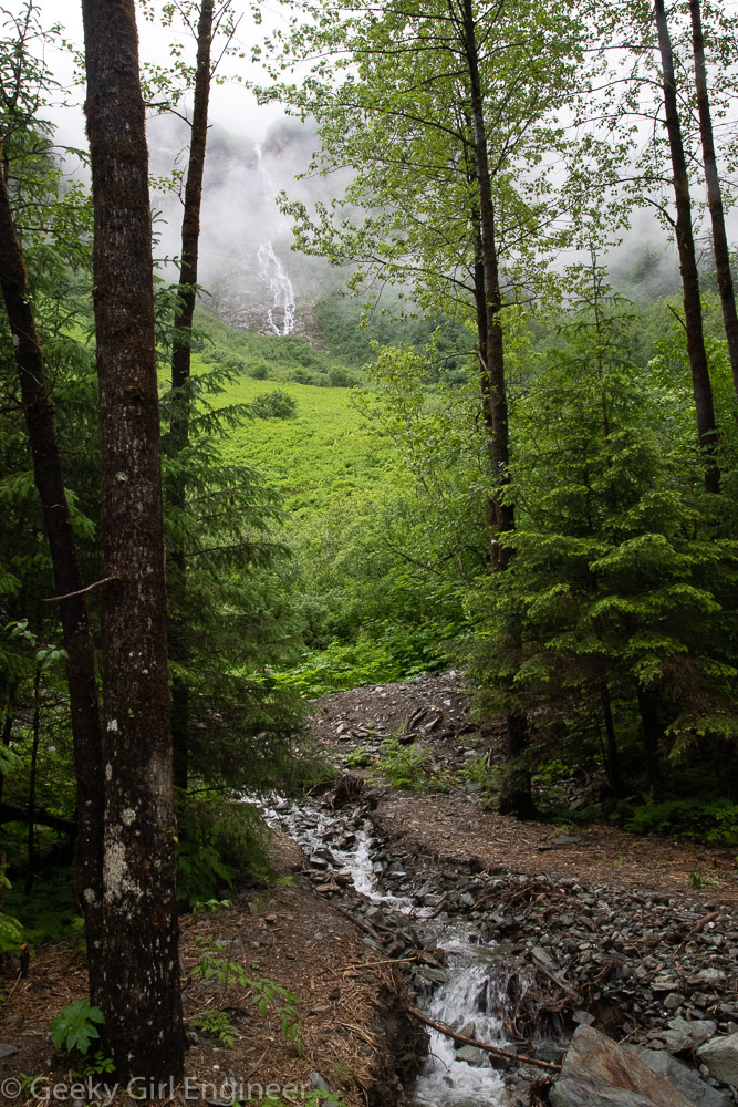
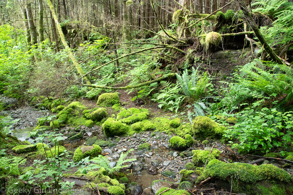
Waterfalls are visible in the mountains and streams are frequent near trail

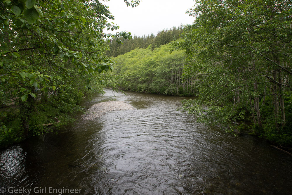
Eastern end appears to be where flume is separated from Gold Creek

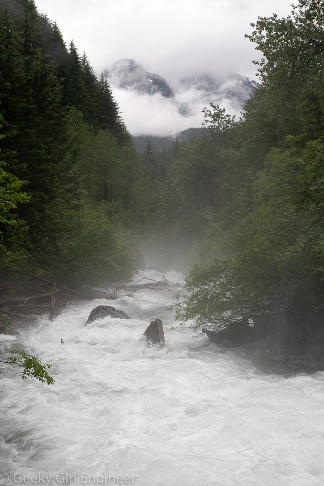
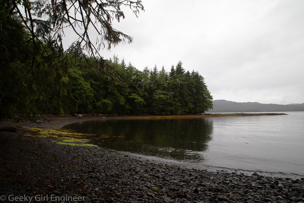
Gold Creek at western end of trail

Alaska State Capitol

With this Alaska trip, I was able to accomplish one of the more difficult tasks in my quest to see all 50 state capitols, as Juneau is not the easiest capital to travel to. I also lucked out because it only opened less than a week ago before which it was closed because of COVID. The Alaska State Capitol is one of the, or perhaps the, least fancy state capitols. The building was formerly a courthouse, and then they turned it into the capitol. There is no dome or other fancy halls. It is an office building. It is lucky for the state, in a way, that they have so few residents because the senate and house chambers are small and used to be courtrooms. There are also quite a few old photos and lots of Alaska Native art, which are quite nice to see.

Alaska State Capitol exterior

House of Representatives Chamber

Senate Chamber

Senate Finance Committee Room

Alaska Natives carved door

Map of Alaska cut from piece of 48 inch pipe used to construct Trans-Alaska pipeline. Weld represents 800-mile route of the pipeline from Prudhoe Bay to Valdez.

Phone booths (phones do not work, I checked)

Elevator bay

Tracy Arm Fjord

During my first full day in Juneau, I took a day cruise to Tracy Arm to see the fjord and glaciers. We saw two glaciers, Sawyer Glacier and South Sawyer Glacier, which really used to be the same glacier. Along the way to see the glaciers, we traveled through the beautiful Tracy Arm Fjord. The fjord has numerous former glacier valleys, river valleys, and water falls. The fjord has numerous icebergs, generally rather small icebergs, that have broken off the glaciers. Many of the larger icebergs serve as resting places for harbor seals. We also were lucky enough to see a black bear eating mollusks or something on the shore. Later, while headed back to Juneau, there were Steller sea lions and more harbor seals on the Midway Islands.

Iceberg

Tracy Arm fjord

Sawyer Glacier

Up close view of Sawyer Glacier

South Sawyer Glacier

South Sawyer Glacier

Up close view of South Sawyer Glacier

Harbor seal

Harbor seals

Black bear

Steller sea lions

Sitka, Alaska

The Alaska state ferry route between Ketchikan and Juneau stops in Sitka for a couple of hours. A very wise company in Sitka runs a shuttle (i.e. a school bus) to take ferry passengers to downtown Sitka from the ferry terminal and then back again, as it is several miles. That gave us about an hour and a half in downtown Sitka. I would have loved to have a day there. The Sitka National Historical Park has some nice trails that I only had about 15 minutes to explore. There are also a couple of historic buildings I would have loved to go in, and I discovered a couple of really cute shops. When I was planning this trip, Sitka was a place I wanted to stay overnight, but alas, there is just so much to see and so little time.

Near Sitka National Historical Park

Near Sitka National Historical Park, a view of Mt Edgecumbe and downtown Sitka

Totem pole in Sitka National Historical Park

St. Michael’s Orthodox Cathedral

St Peter’s By the Sea Episcopal Church

Sitka Hotel in downtown Sitka

Alaska State Ferry: Ketchikan to Juneau

I had a lovely stay in Ketchikan, but it was time for the next leg of my trip, which was taking the Alaska state ferry to Juneau. This trip stopped at several cities before we arrived in Juneau. There was barely time to step off the ship if desired in the cities, except for Sitka, which allowed us about an hour and half in downtown Sitka. [More on that in next blog post.] The ferry route to Juneau was gorgeous, and it went through the amazingly gorgeous and awesome Wrangell Narrows. The ferry is about the biggest ship that can go through the narrows, so that is a bit of a bonus compared to the huge cruise ships.

Inside passage near Ketchikan

Wrangell

Wrangell Narrows

Wrangell Narrows

Wrangell Narrows

Wrangell Narrows (with an out of focus bald eagle flying across the shot on the left)

Petersburg

Near Petersburg

Mt Edgecumbe, near Sitka

Juneau

Totem Bight State Historical Park

I visited Totem Bight State Historical Park in Ketchikan today. It contains numerous totem poles, some of which are reproductions and some of which are inspired by older totem poles. Because they are newer, they are still colorful, which helps in understand both their meaning and also what the original poles looked like. There is also a gorgeous clan house, which you can go in. The park also features a short but nice walk through the temperature rainforest and also a beach.

Clan House

Land Otter Pole

Sea Monster Pole

Kaats’ Bear Wife

Kadjuk Bird Pole

Thunderbird and Whale

Trail

Beach area

Ketchikan hiking

Ketchikan has lots of hiking trails, and many of them are close to the town. We went hiking on the Rainbird trail this afternoon. Ketchikan is located in a temperate rainforest, and the Rainbird trail goes through that temperate rainforest ecosystem right to the side of the town. The trail is located in an area that was last logged over 50 years ago, so it does not have the old growth trees, but it is pretty none the less. The northern trailhead warns that the trail is not maintained, and they are not kidding. We lost the trail a couple of times. The southern half of the trail is maintained and is much easier to hike.

Ferns and moss growing on a fallen tree stump

Moss and ferns growing near a stream

New tree growng on top of a fallen tree

Cedar trees and ferns everywhere

Trail through the forest

At the south end of the trail, there are spectacular lookouts

Moss growing on a fallen tree

Berries

Wild flowers

Ketchikan, Alaska

Ketchikan is a great town to wander around. A must see is of course Creek Street, which is built right on Ketchikan Creek, for what I am sure were sensible reasons when the town was first founded. Now while it is very photogenic, it also looks like an engineering challenge. Creek Street is right where Ketchikan Creek empties into the sea, so the tidal influence is visible. Right before Ketchikan Creek enters the Creek Street area, the creek is white water going over rocks, but then just a little further back, it is a calmer, mountain creek. Hence it is an interesting walk to follow the creek a bit. The rest of downtown is filled with what for the most part seem to be original buildings from when the town was expanding or buildings built to resemble old buildings. The dock area is huge, and there appear to be more boats than cars in the downtown area.

Creek Street, built along Ketchikan Creek; the mint green building on the far right is Dolly’s House, “where both men and salmon came upstream to spawn”

Creek Street

Ketchikan Creek right before it gets to Creek Street

Ketchikan Creek is more an alluvial stream just a short distance before Creek Street

Downtown sign: Welcome to Alaska’s 1st City, Ketchikan, The Salmon Capital of the World

Downtown Ketchikan where most of the buildings seem to be original

Ketchikan wharf, in the middle is the Potlatch, a famous and popular with the locals bar

Ketchikan’s very crowded docks

Totems at the Totem Heritage Center

Snorkeling in Alaska

While planning for my vacation in Alaska, I learned that there is a company, appropriately named Snorkel Alaska, that leads snorkeling tours near Ketchikan. If there is a way for me to get into the water, especially if it means seeing some cool wildlife, I am there. This morning I went on my guided tour. They supplied all the equipment including a wetsuit, hood, gloves, etc. Perhaps maybe my toes got cold, but that was it. The wetsuit did its job. I got to snorkel around for over an hour seeing sea urchins, sea stars, fish, sea cucumbers, sea weed, and so much more. It was one of the best snorkeling tours I have taken. I love snorkeling in warm water and seeing coral, but this cold water provided so much to see.

Lots of sea grass and kelp

Crab

Sea urchins and sea cucumbers

Sea urchin

Completely out of focus photo of a nudibranch. I was so excited to see a nudibranch I am sharing the out of focus photo anyway.

Sea star

Sea urchins

Sea star

Sea star and tube worms

Sea stars

Chiton

Alaska State Ferry: Bellingham to Ketchikan

I have started a three week vacation in Alaska, which will involve planes, trains, ships, buses, cars, and perhaps a helicopter and raft. Thirty years ago or so, I cruised the inside passage with my family, but this time I wanted a little more time to see the southeast area and interior. Thus, the cruising will take place on the Alaska State Ferry. I took the ferry from Bellingham, Washington to Ketchikan, Alaska, which is about 38 hours or so of travel. The ferry cruises the inside passage. There was a map in the cafe that shows the route, and in two different places, the route can go either in the open ocean or the inside passage. It is not clear why one is chosen over the other, and the crew (that interacted with the passengers) didn’t even seem to know, but presumably the navigation crew knew. In any event, our route was entirely the inside passage, and a lovely route it was. It was a nice way to travel. I spent the entire time reading and taking photos along the way. Below are some photos I took along the route. Note that basically all of these photos are of British Columbia, Canada and those of the water we passed through.

View from a ship of sea and mountains View from a ship of sea and mountains View from a ship of sea and mountains View from a ship of sea and mountains View from a ship of sea and mountains A small waterfall View from a ship of sea and mountains View from a ship of sea and mountains