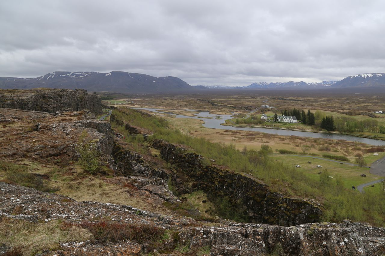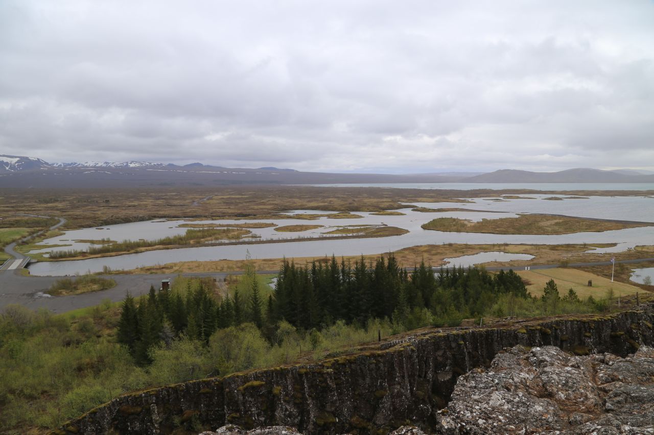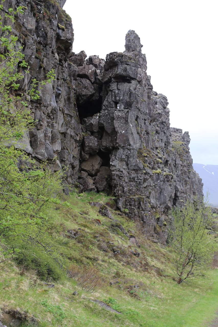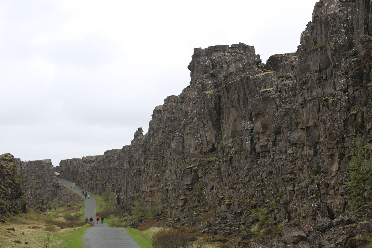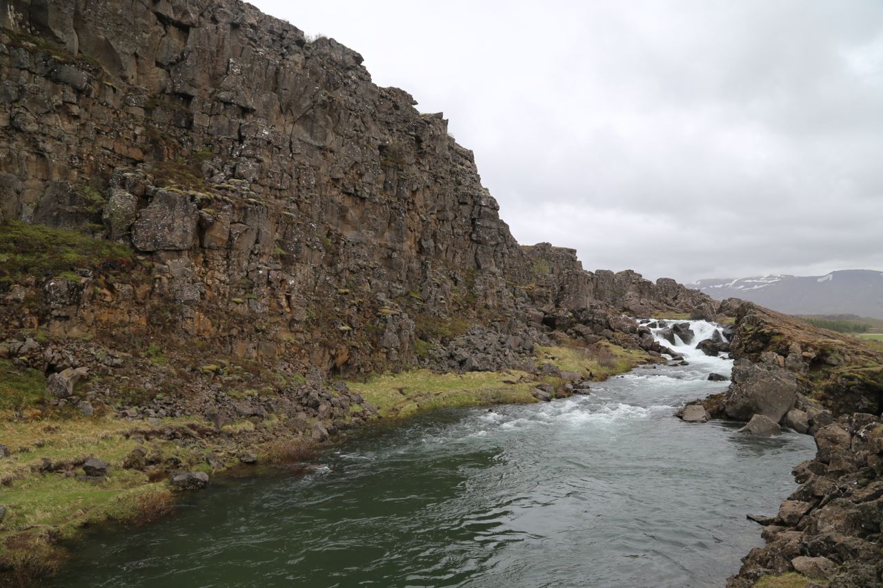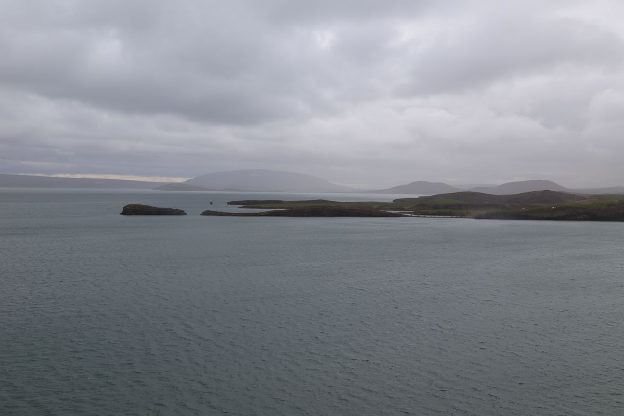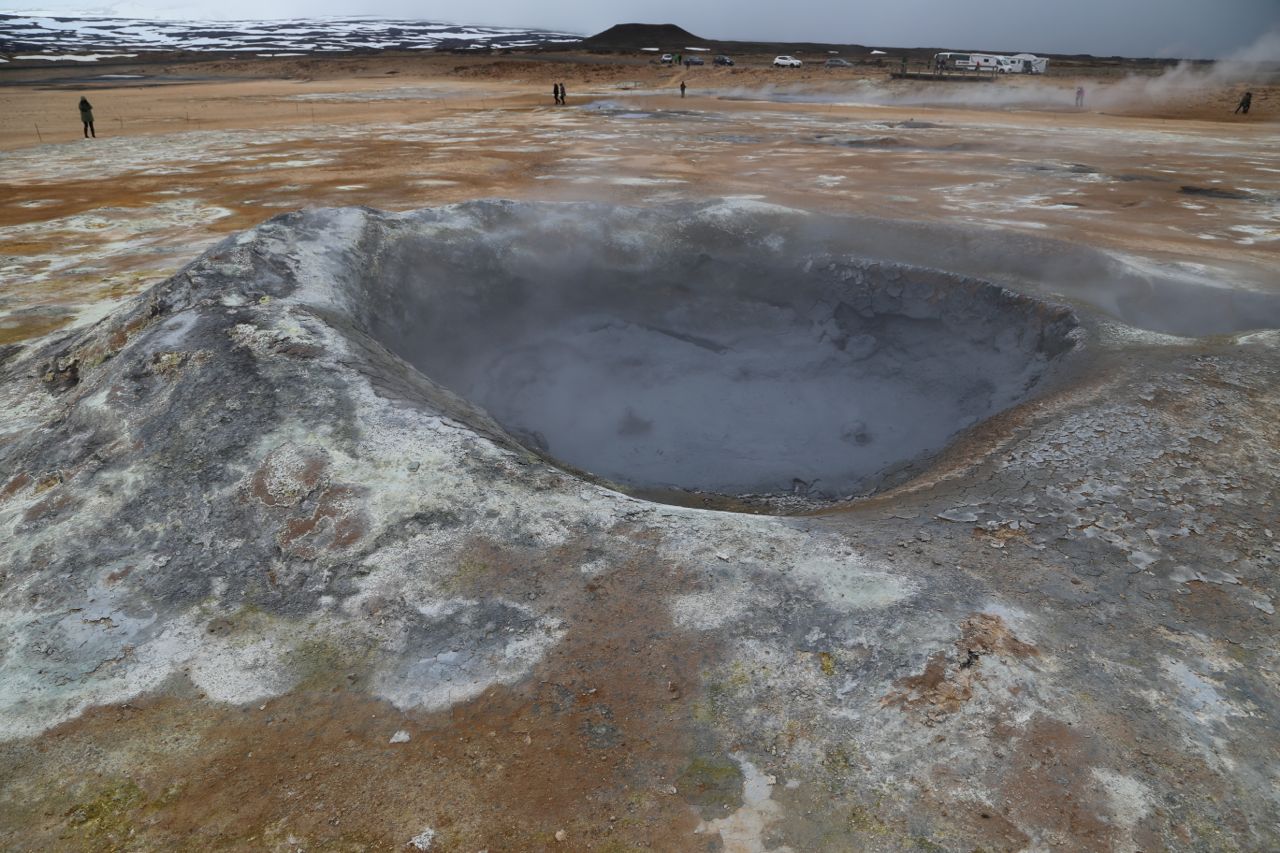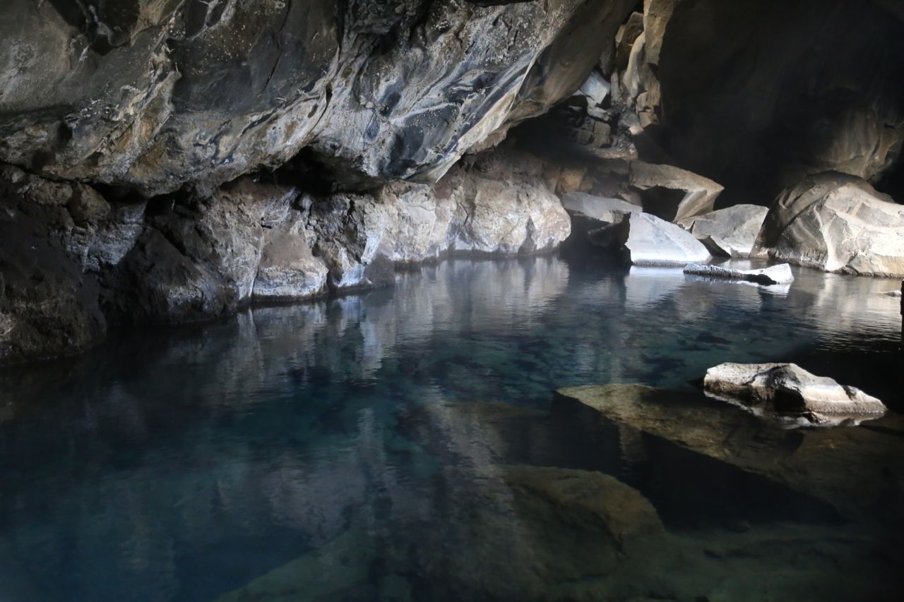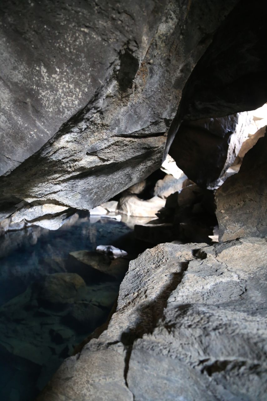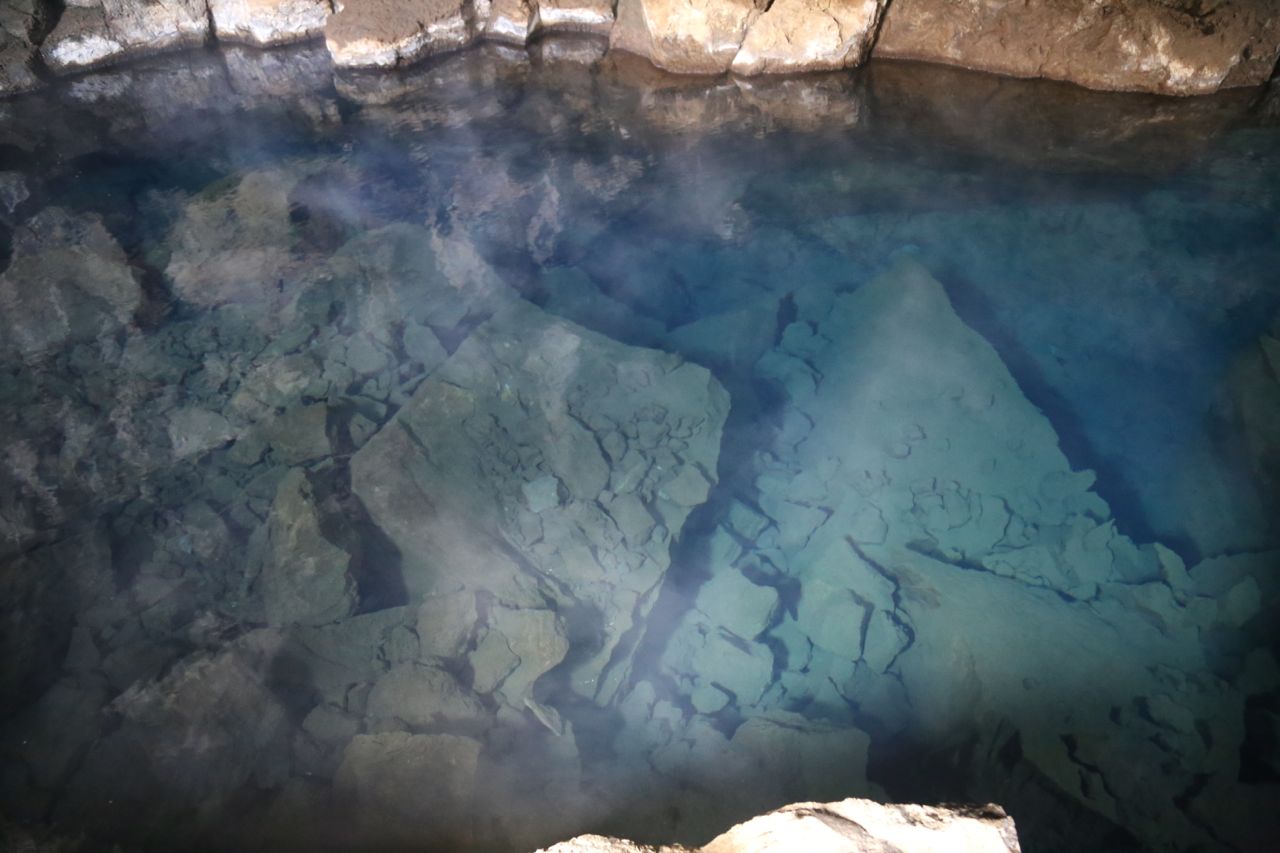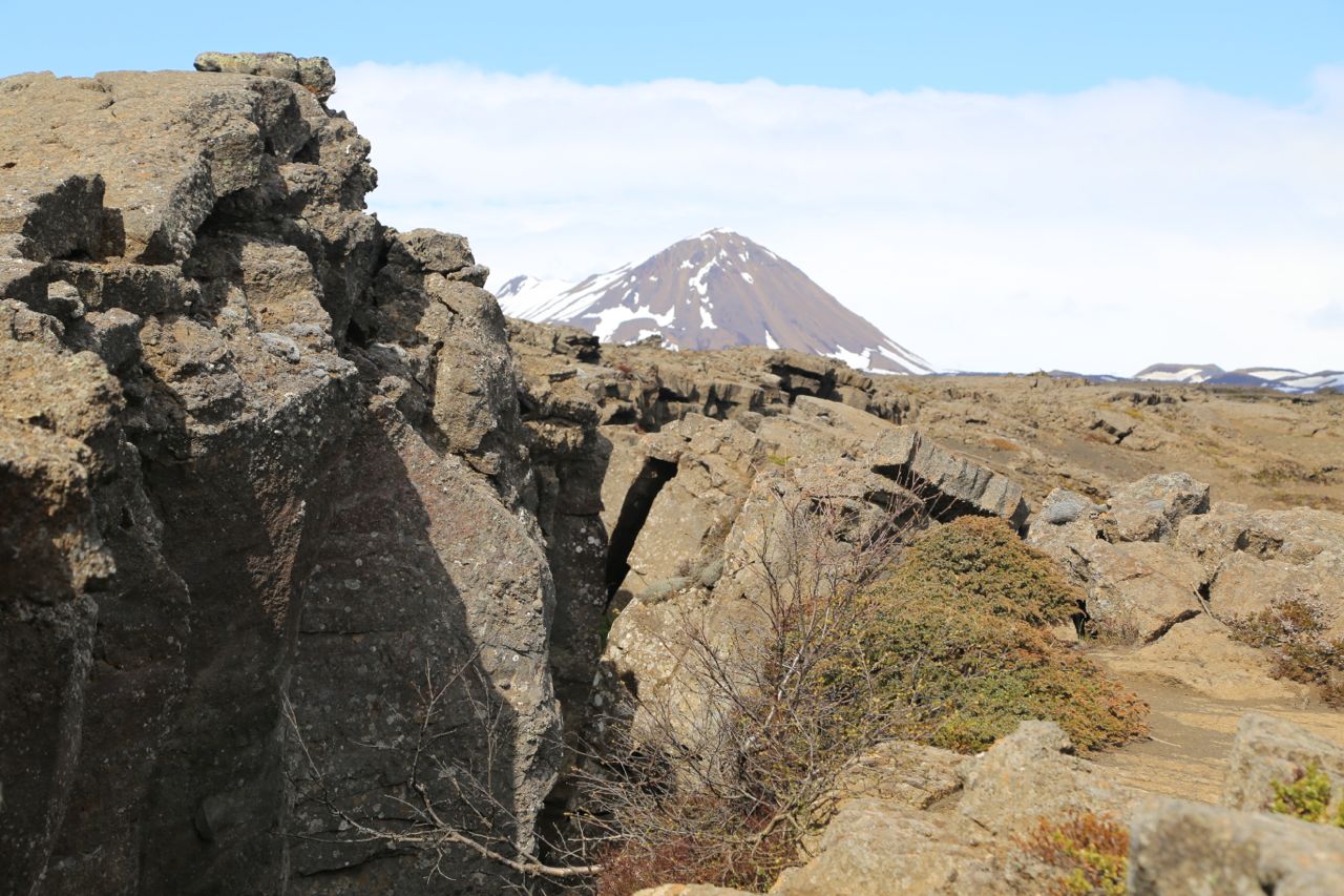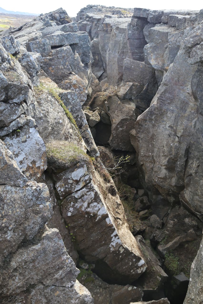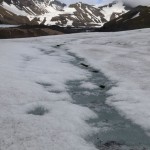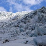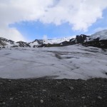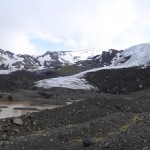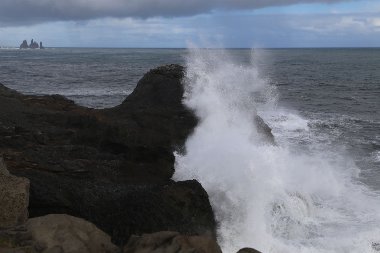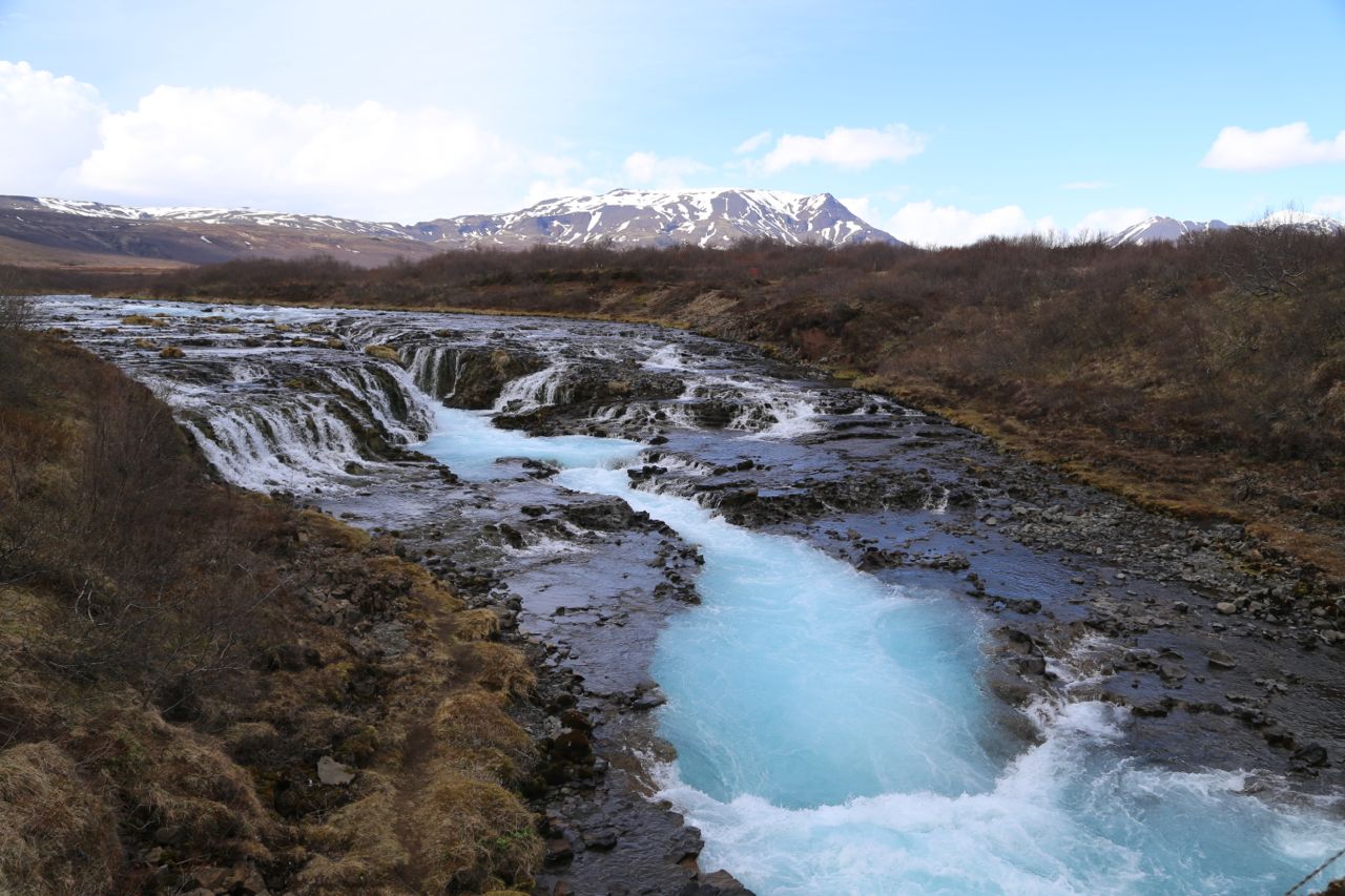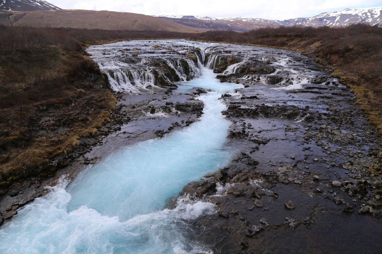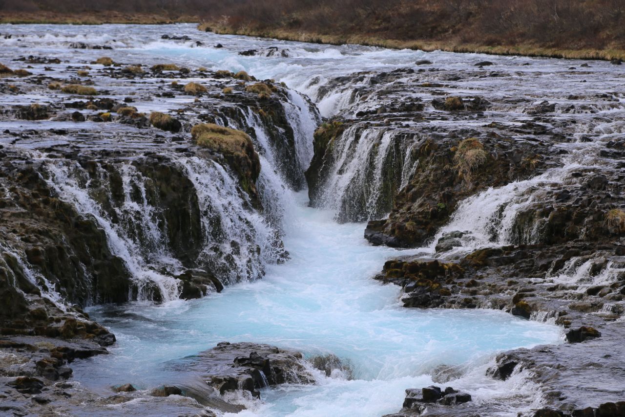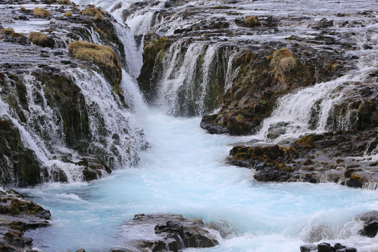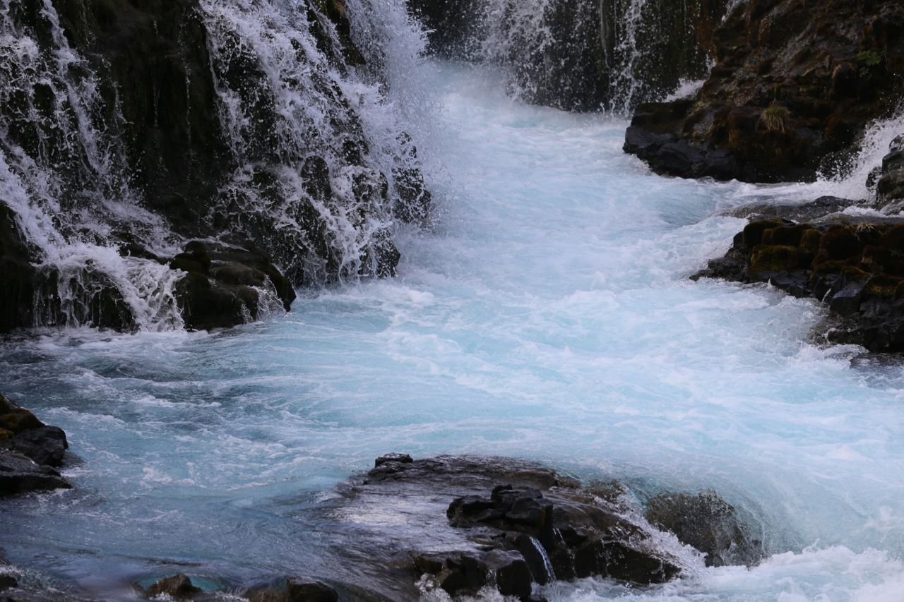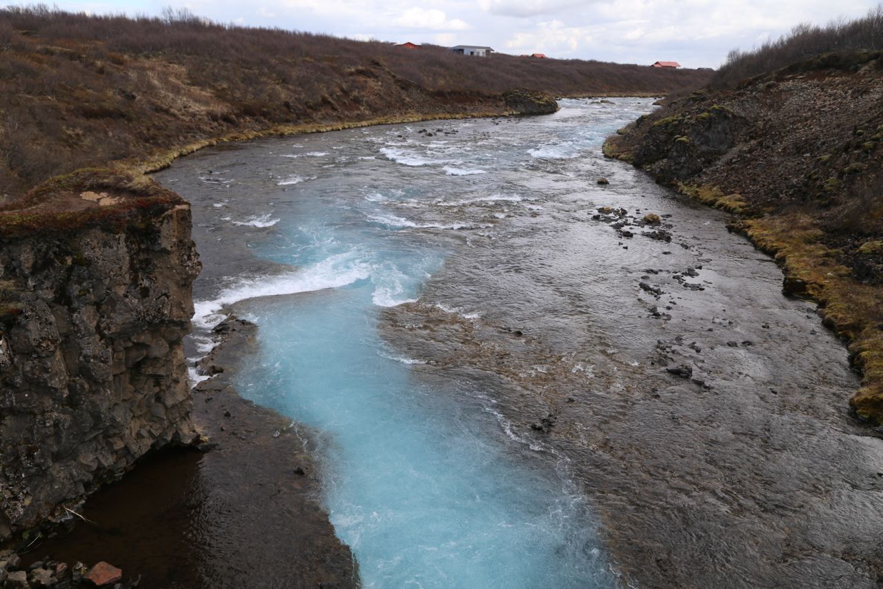
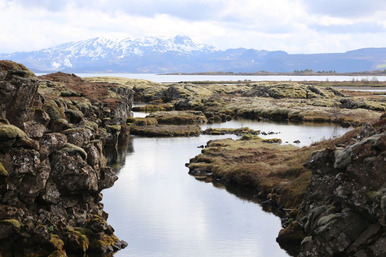
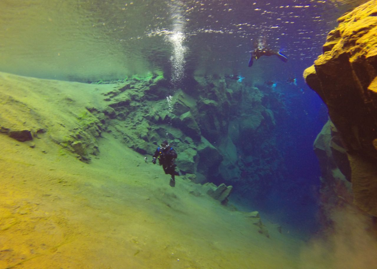
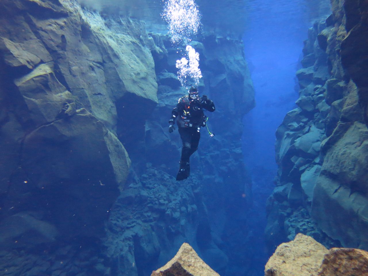
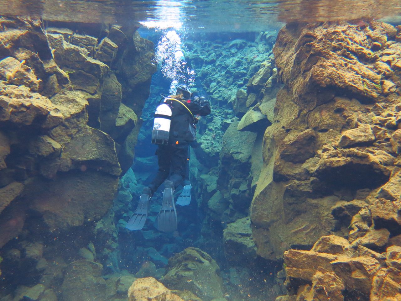
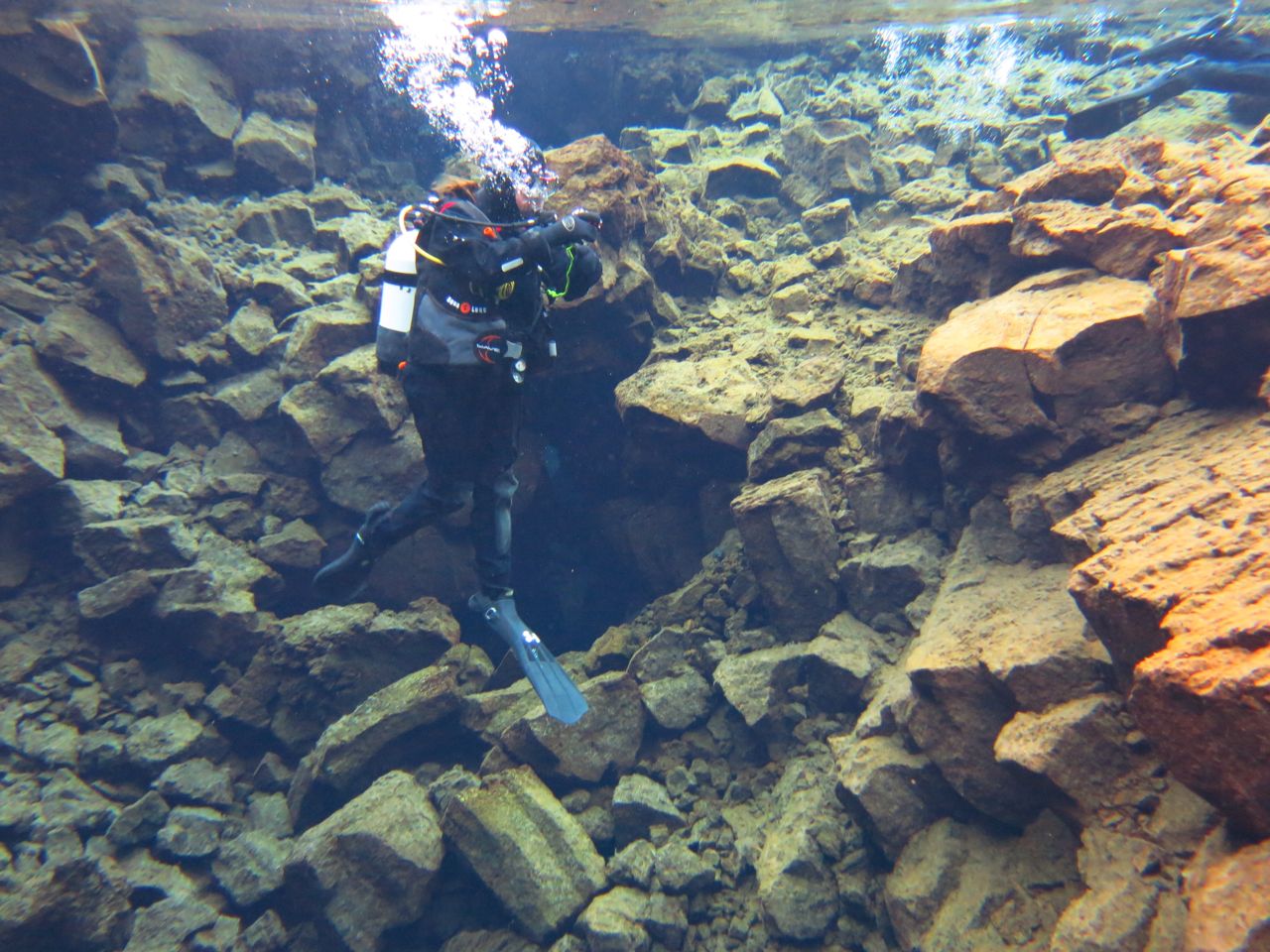
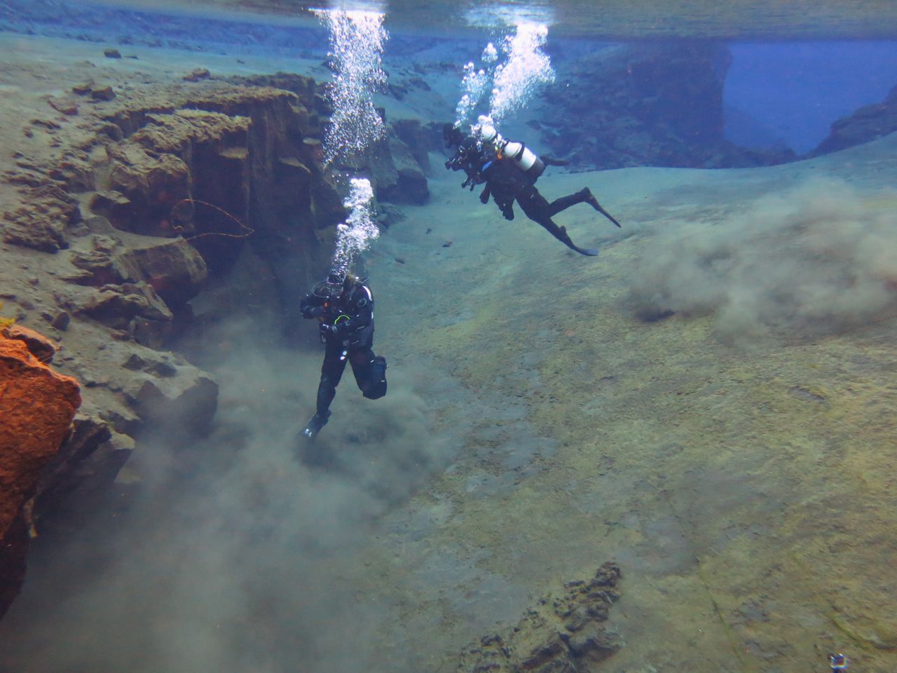
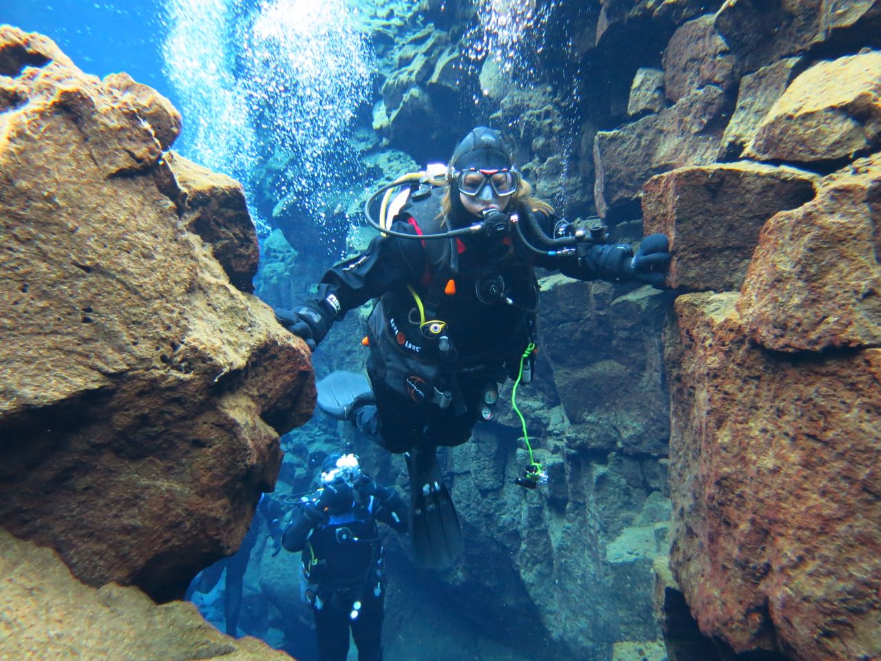
Day 3 in Iceland was spent in the Golden Triangle, visiting Geysir, Gullfoss, Bruarfoss, and Þingvellir National Park. We ended the day at Þingvellir, which I later returned to at the end of our trip. While at Þingvellir that day, I dove Silfra, which is a part of Þingvallavatn (Thingvallavatn). Silfra has crystal clear water that sits between high rock walls. Those rock walls represent the spreading of the North American and Eurasian tectonic plates, and in one place, a diver can reach out and touch both plates, which makes for very fun and memorable photos. At the end of this post is a photo of me doing just that. The canyons are somewhat disconnected, and the route through Silfra consists of swimming between deep canyon walls then turning through very shallow portions, of less than a meter, then back to a deep canyon, then shallow, etc., until it ends with a wide open plane. There is very little life in Silfra, except some algae. Perhaps some animals are there, but I never saw any. This was one adventurous thing that I decided I had to do if I was going to Iceland, and I got my dry suit SCUBA certification just to do it because the water in Þingvallavatn stays 2-4°C year round. I dove that day with Dive.Is. All the photos below are my own, except the ones which feature me. I purchased those photos through Dive.Is.
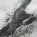
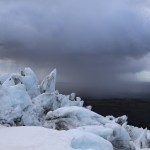
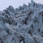
Silfra from above water
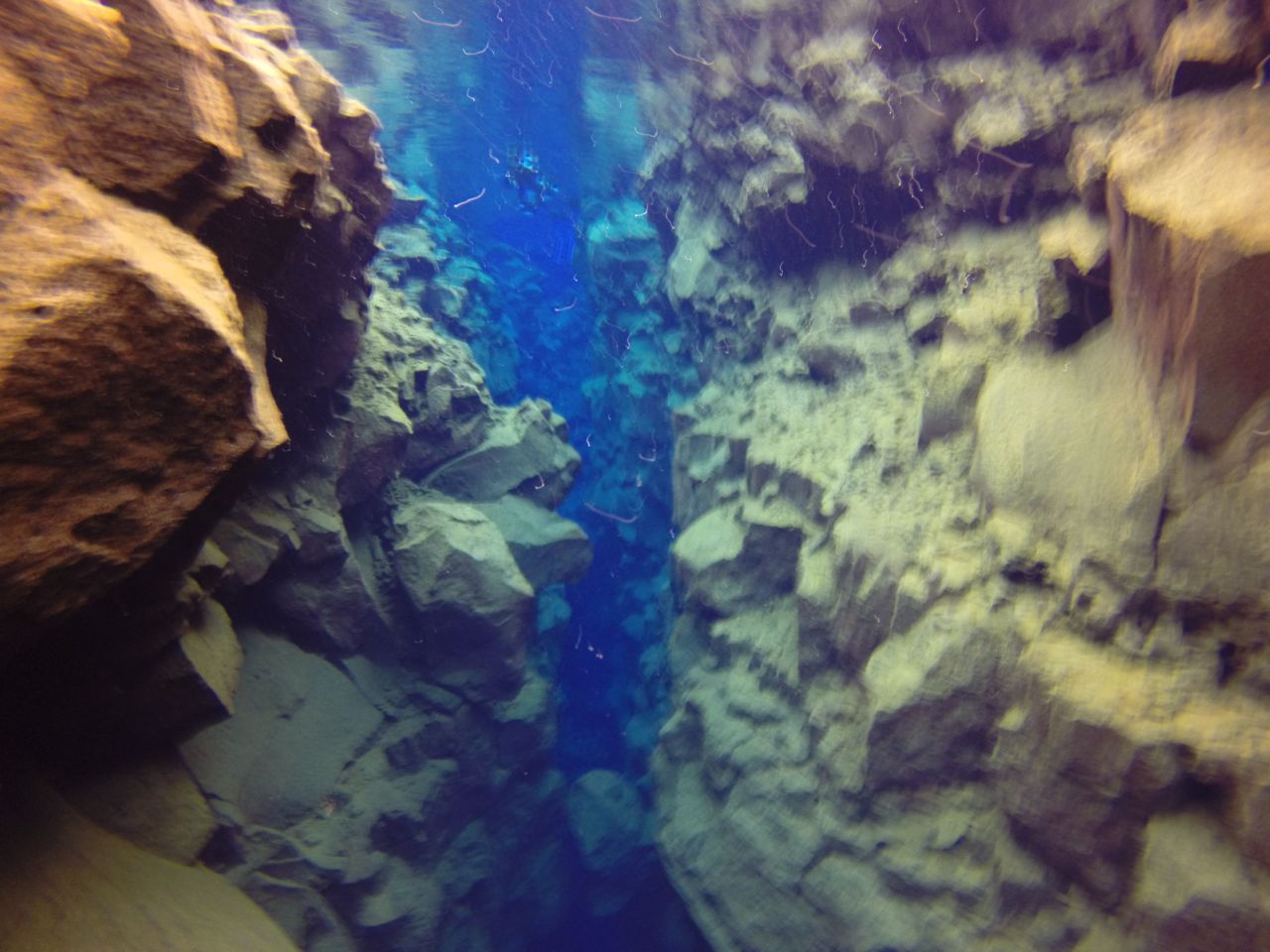
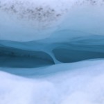
Canyon in Silfra. In the middle of the photo is the place where a diver can touch the North American and Eurasian tectonic plates.
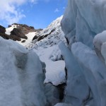
Canyon in Silfra
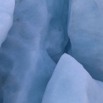
Canyon in Silfra starts to become shallow
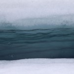
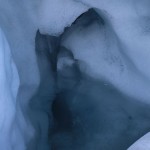
Silfra canyon side
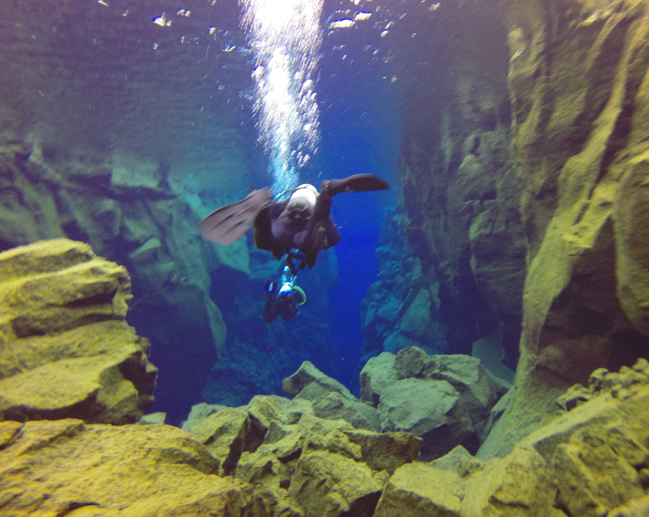
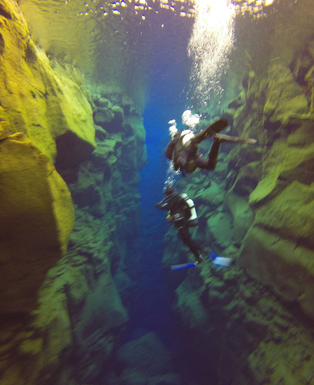
Diver in Canyon in Silfra
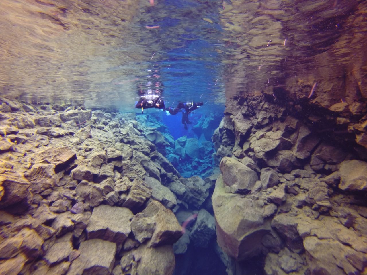
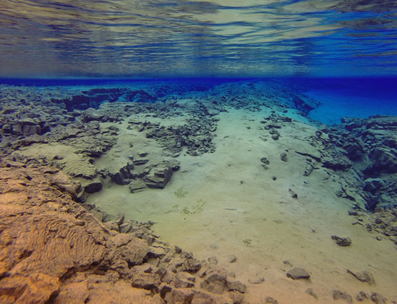
Silfra canyon exits to a wider plane
A shallow portion of Silfra
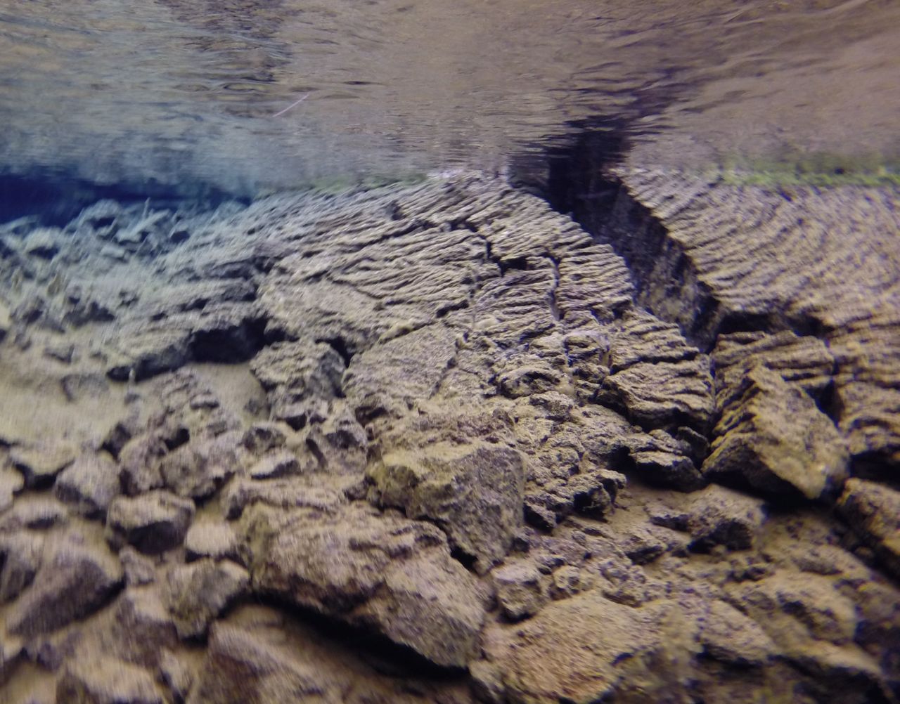
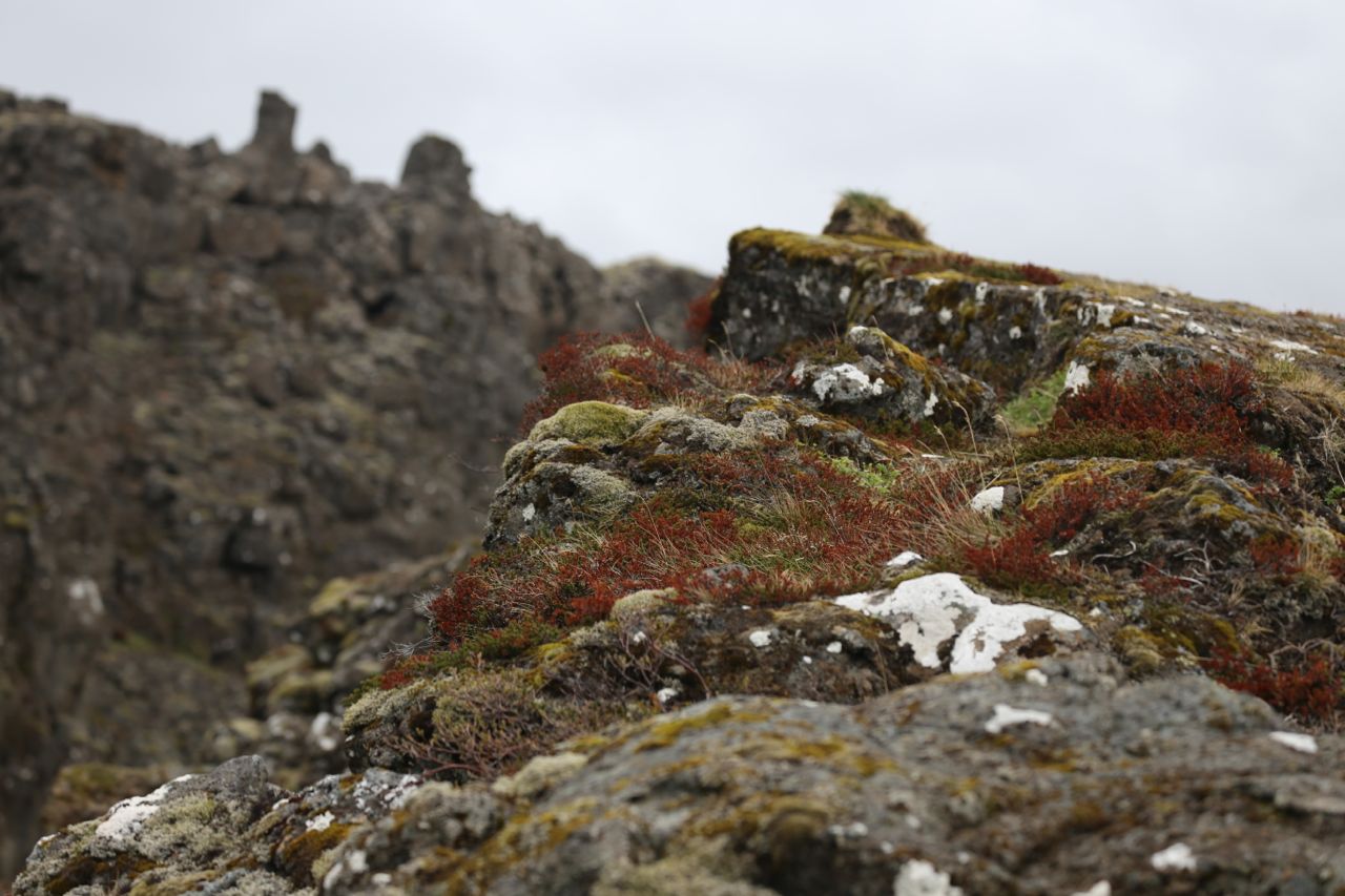
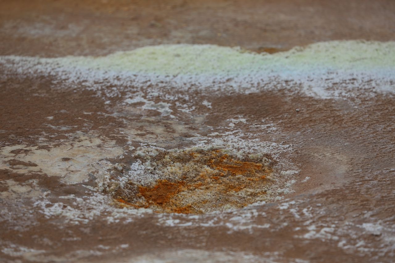
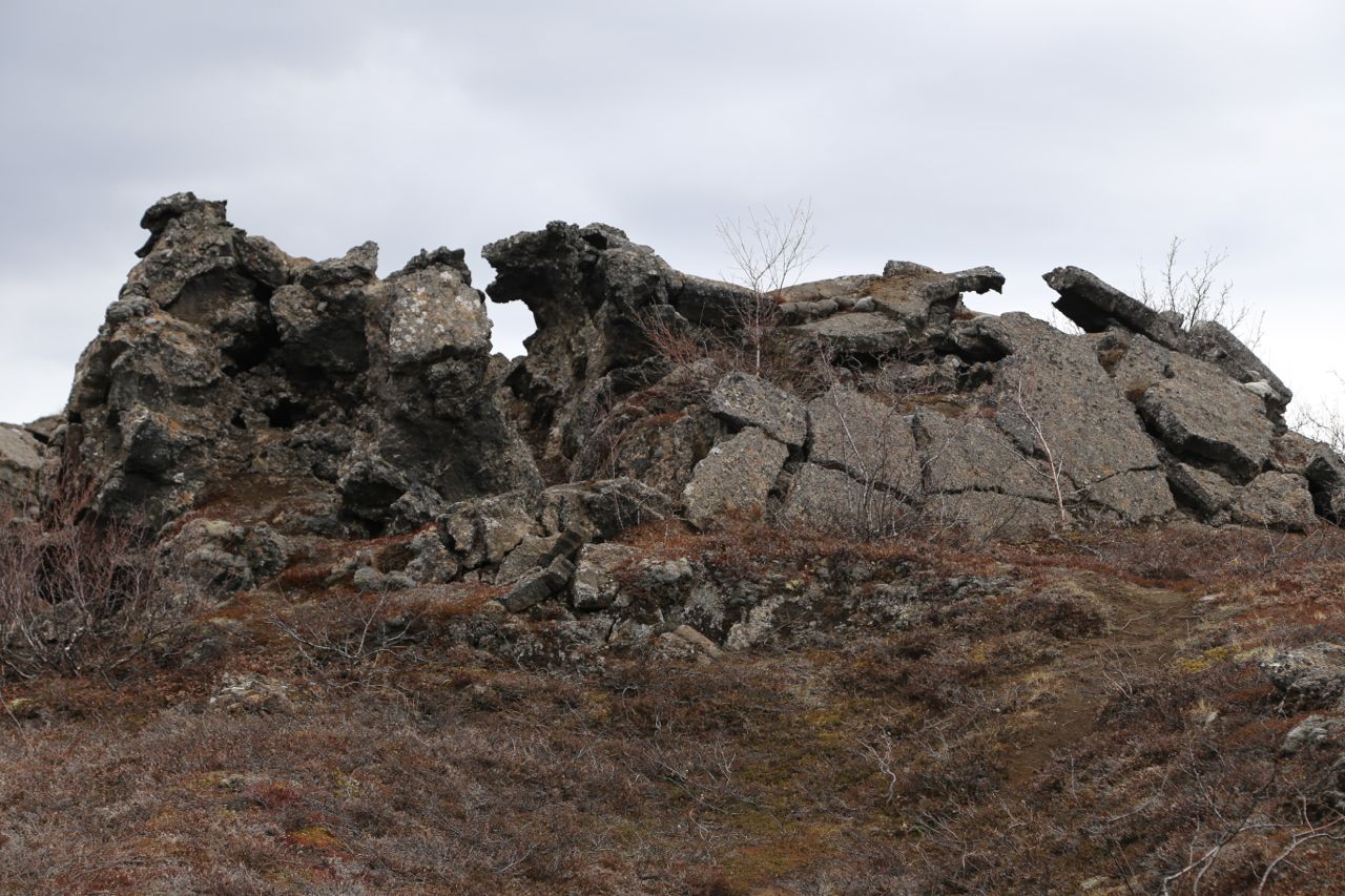
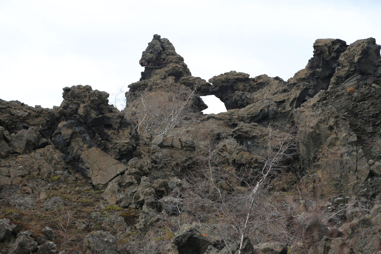
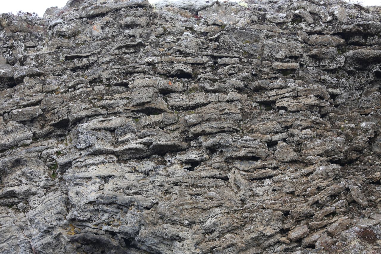
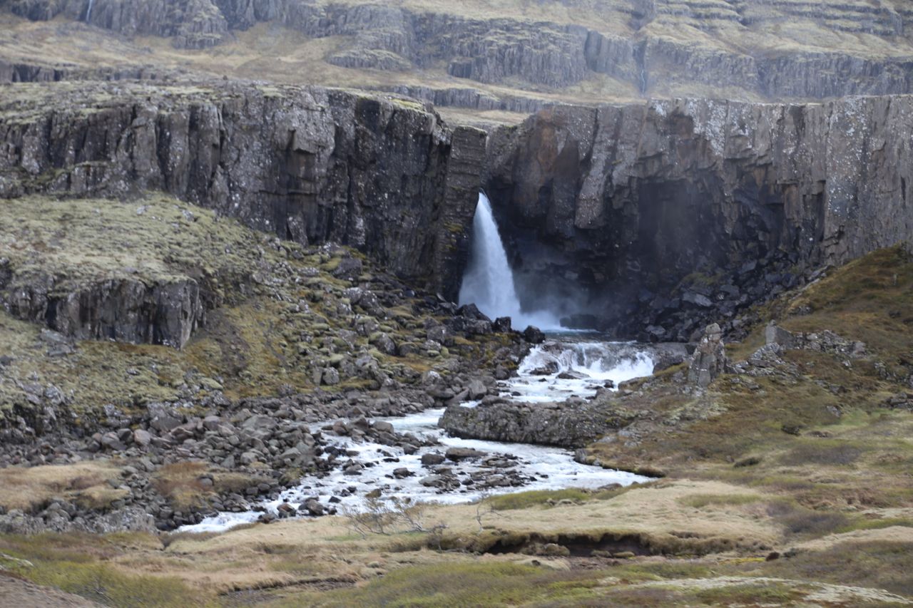
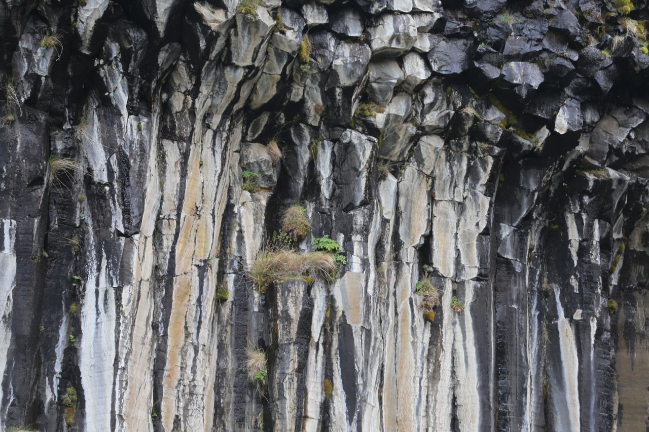
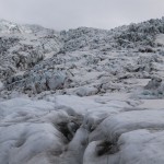
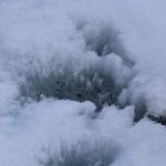
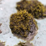
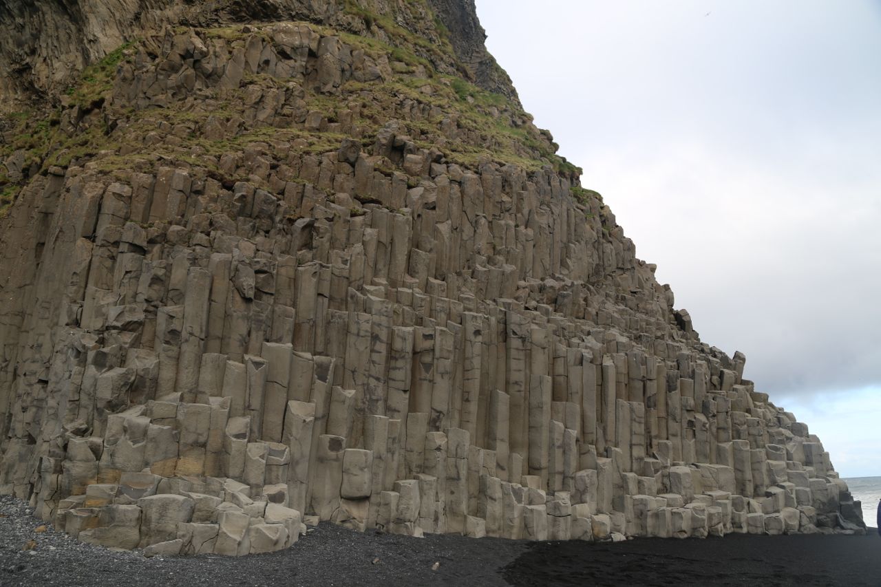
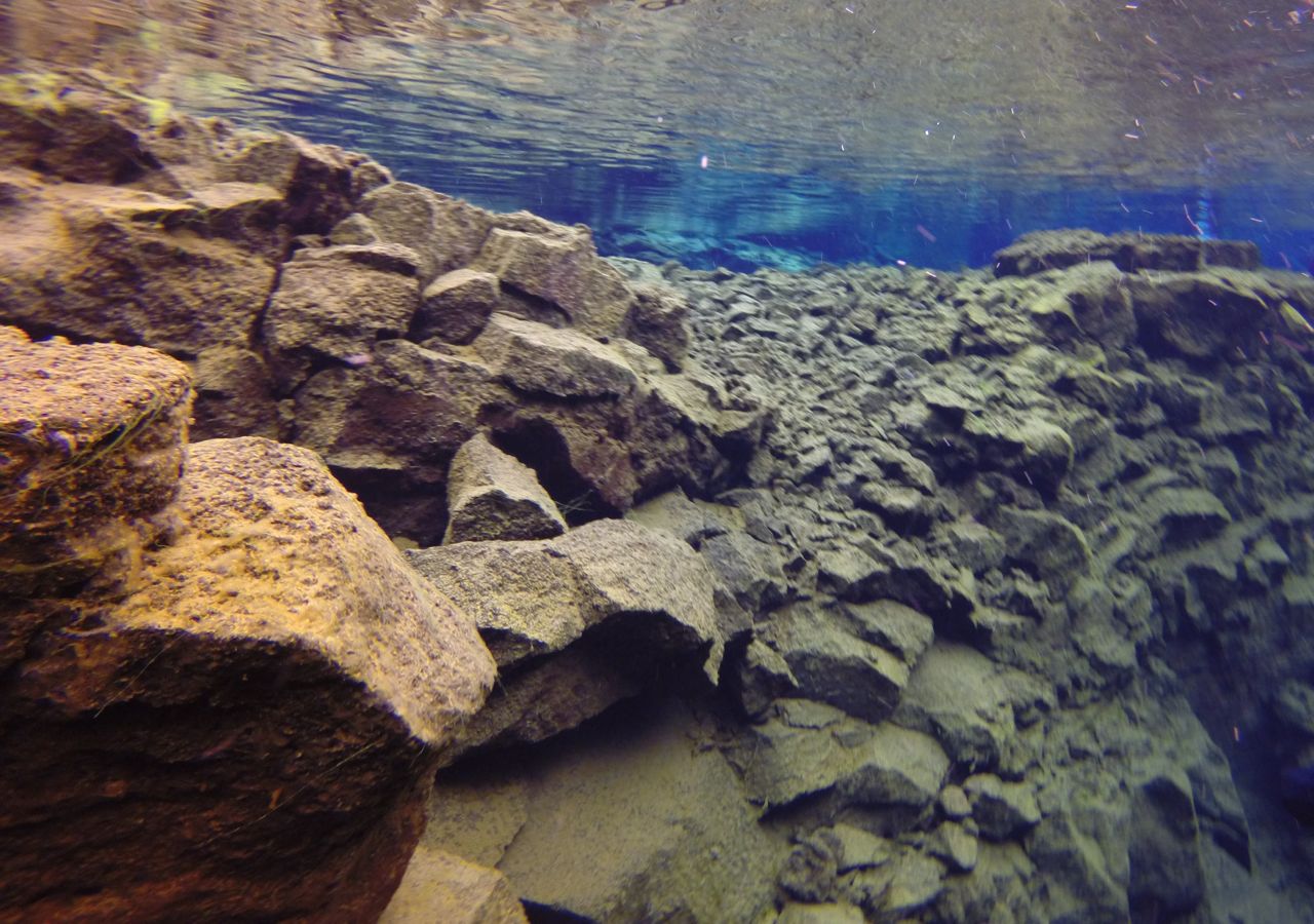
Lava flow marks on rocks
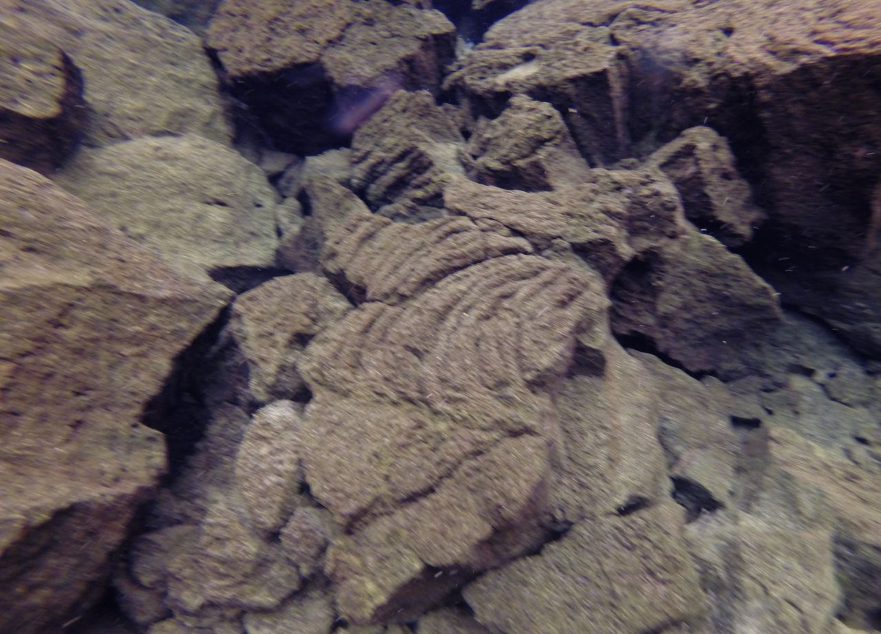
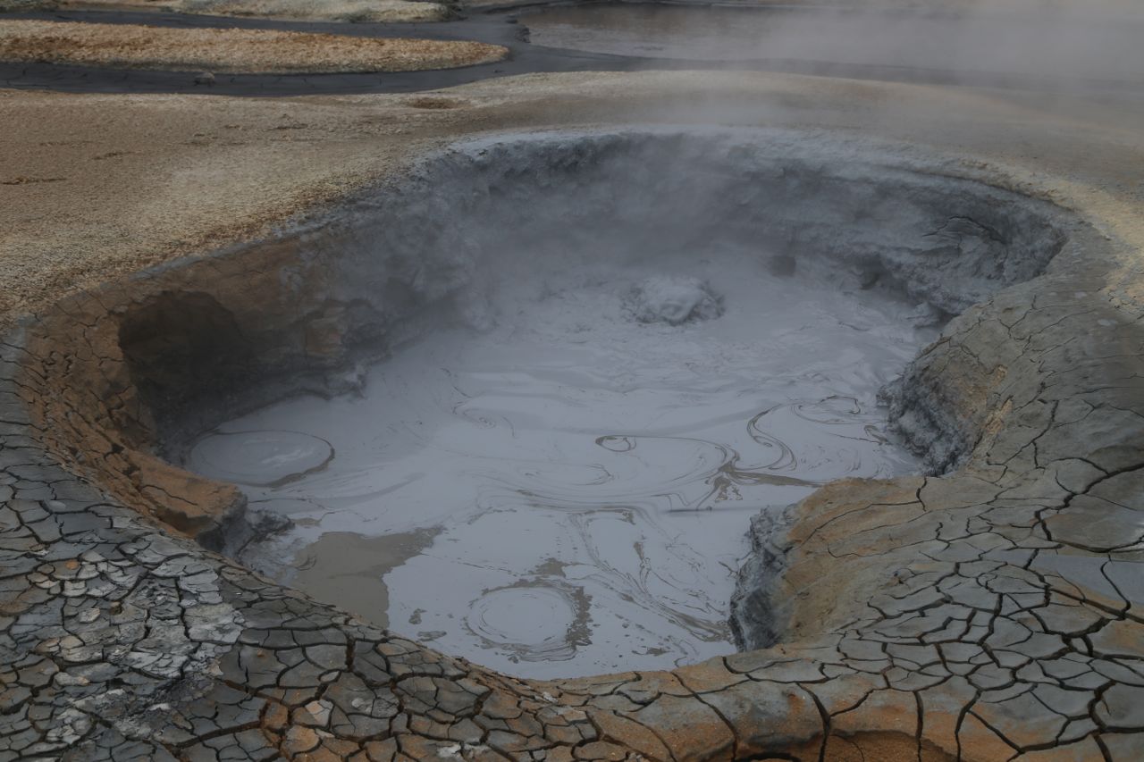
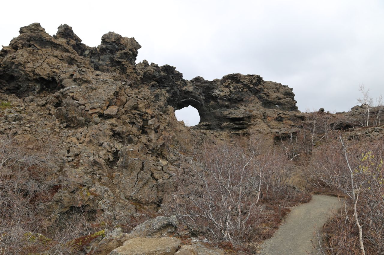
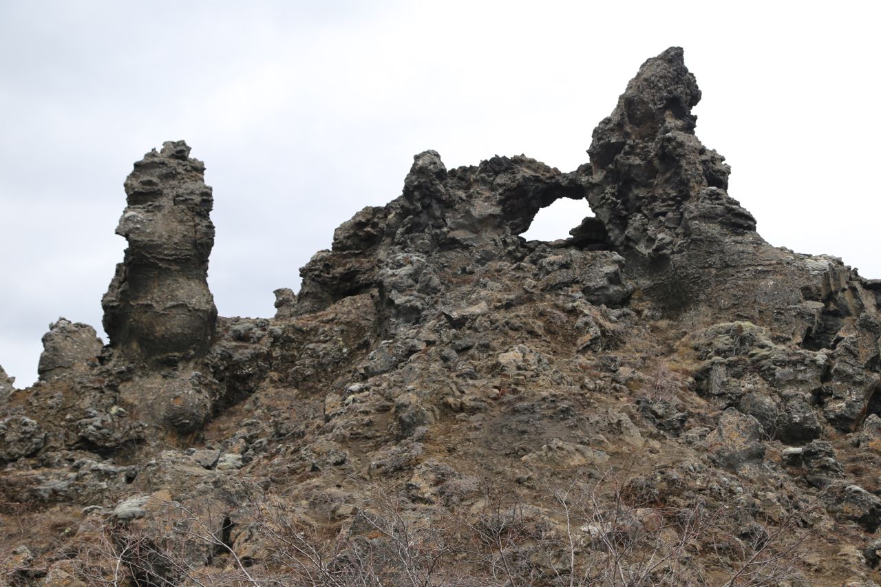
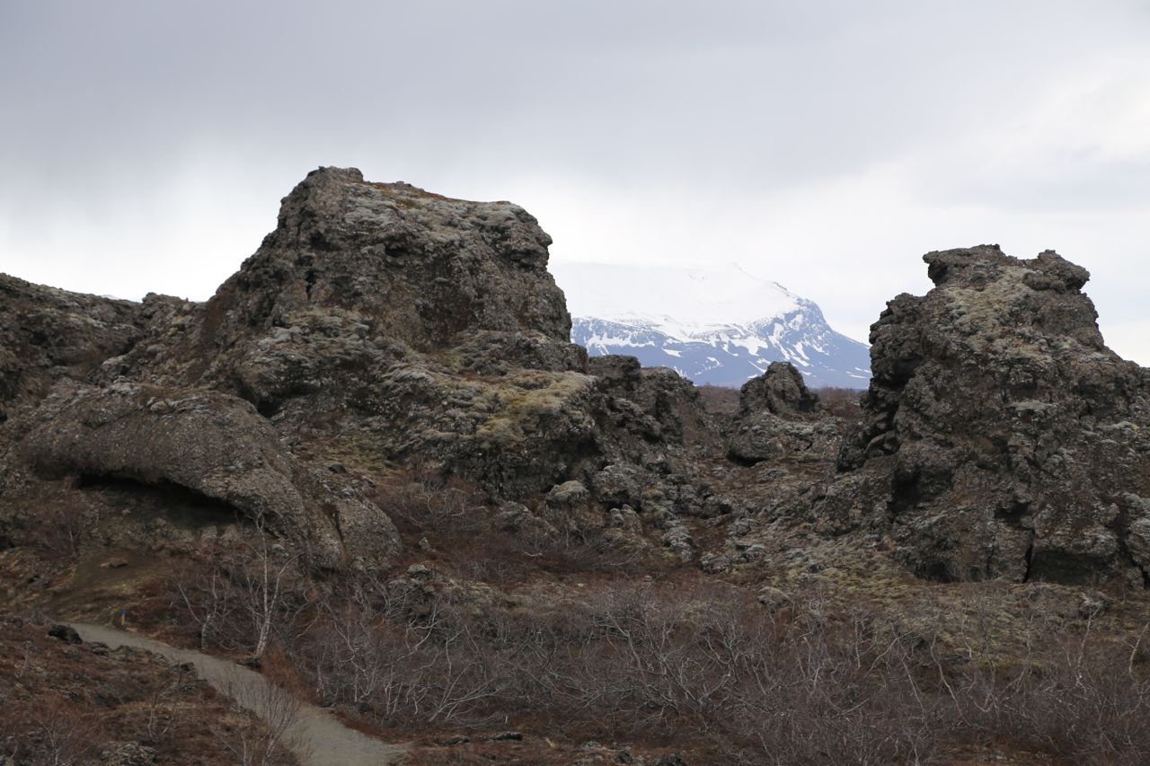
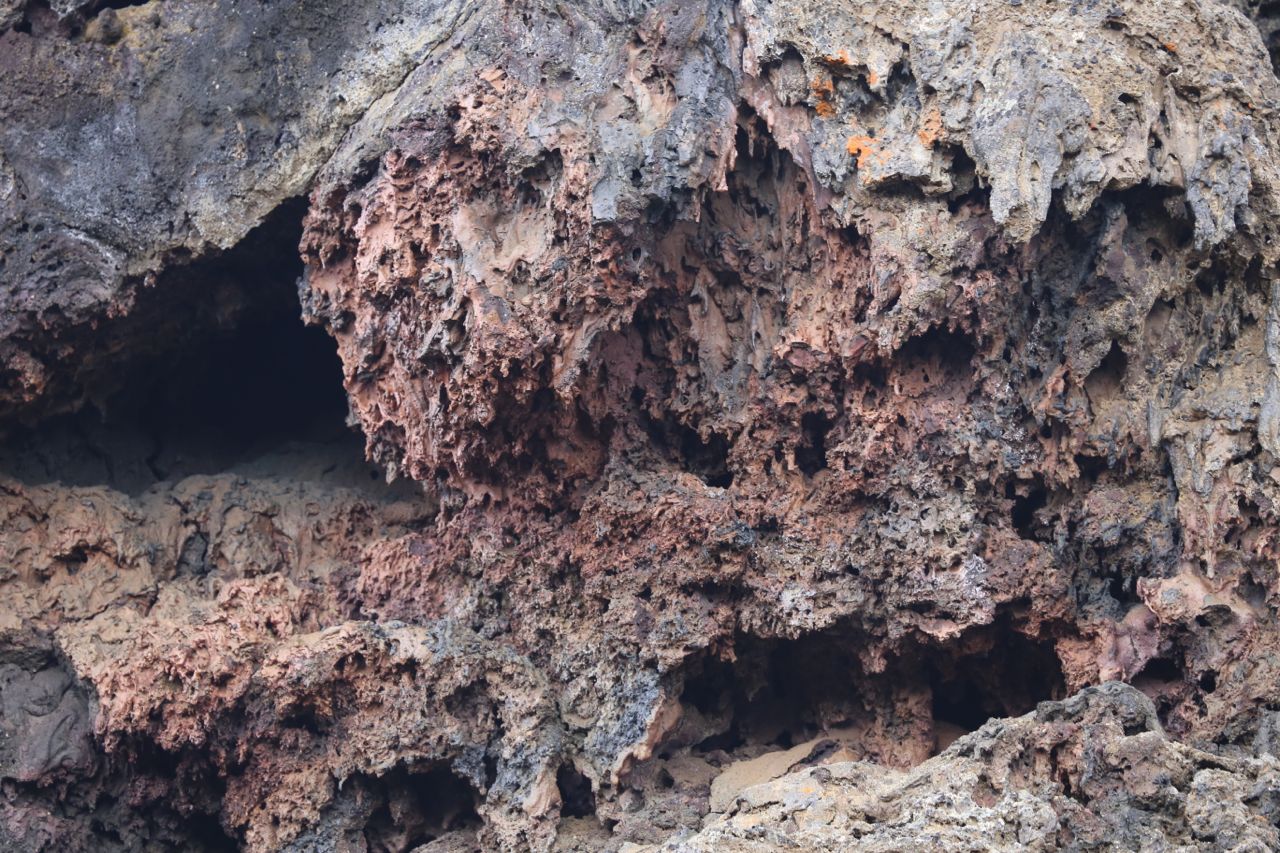
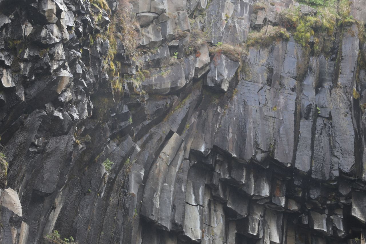
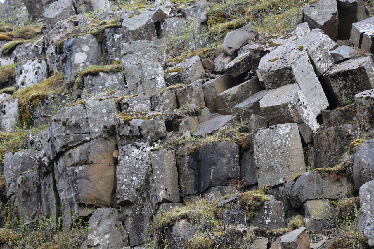
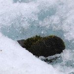
Lava formation
Me in a deep Silfra canyon
Me taking a photo in a shallower Silfra canyon
Me taking a photo where a canyon ends. In the upper right is a diver exiting the canyon to another canyon through a shallow portion.
Me taking a photo as the canyon ends in a wider, shallow plane. I’m taking a photo that is featured above.
Me touching the North American and Eurasian tectonic plates