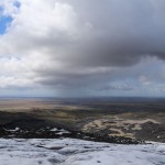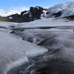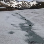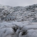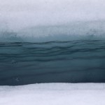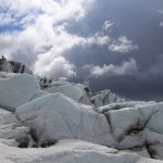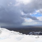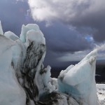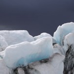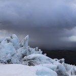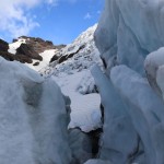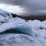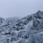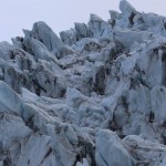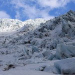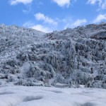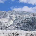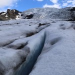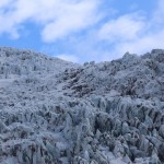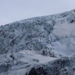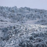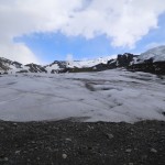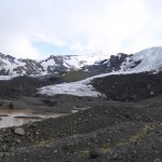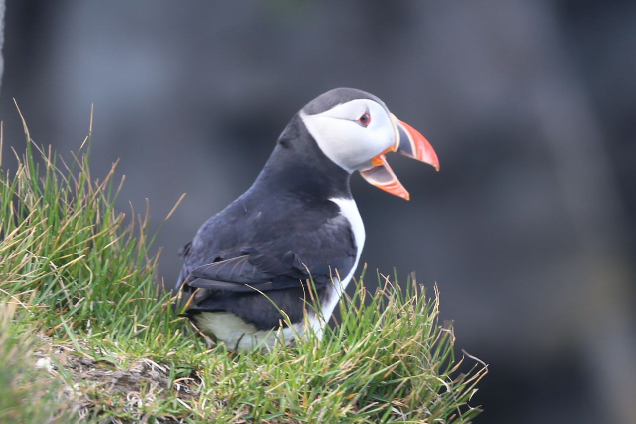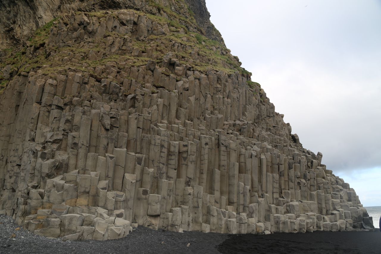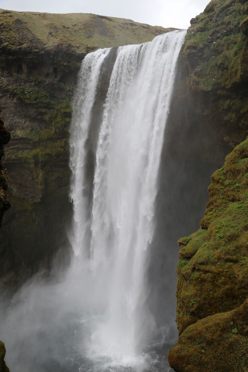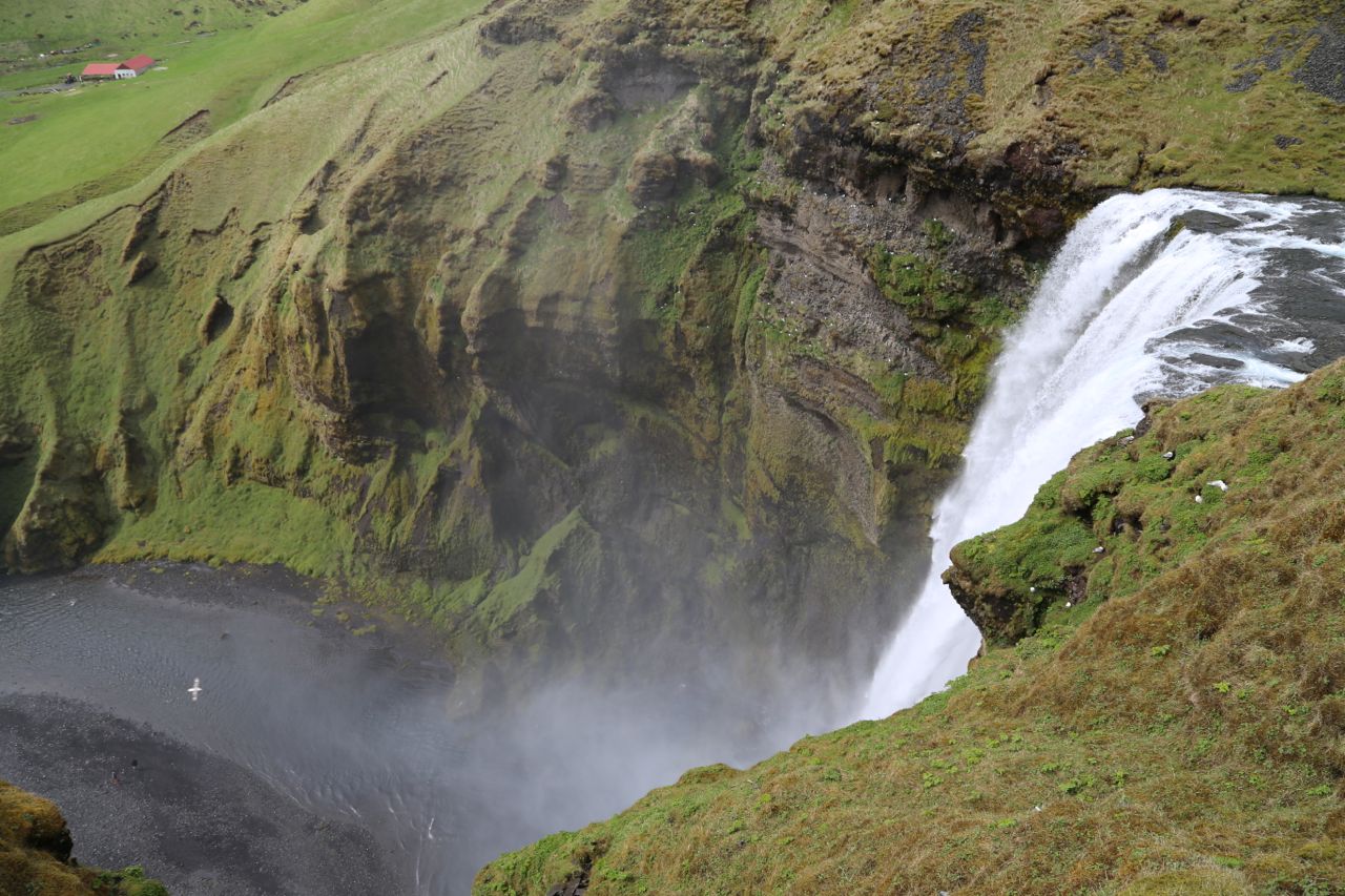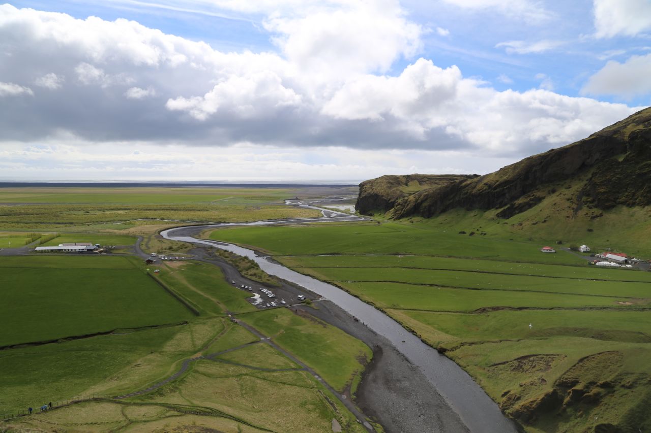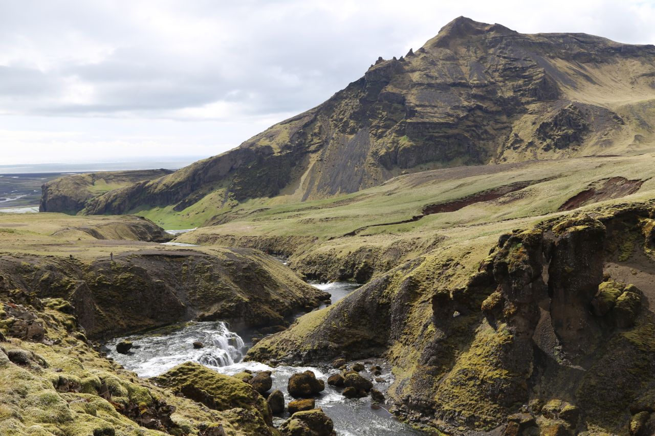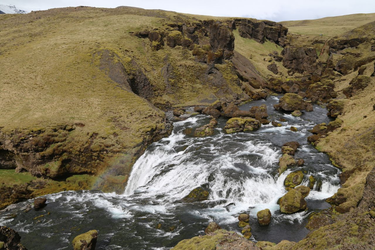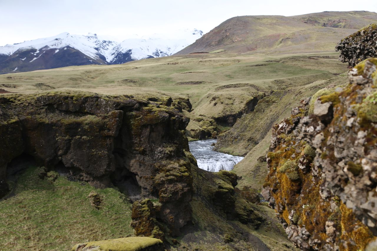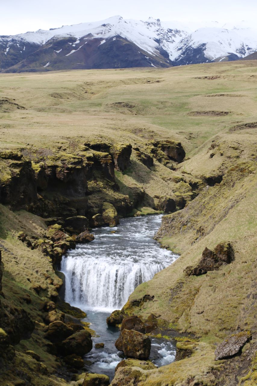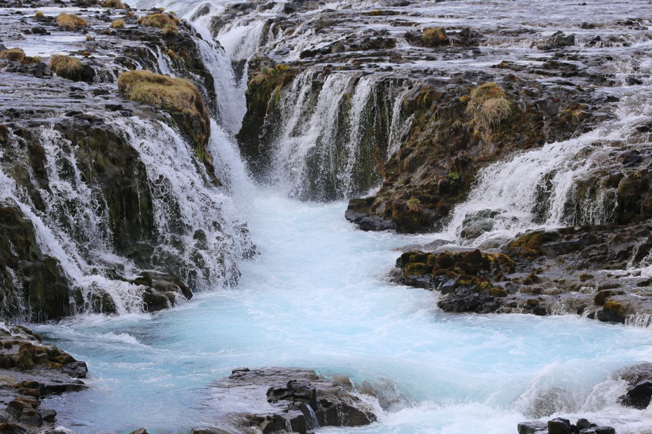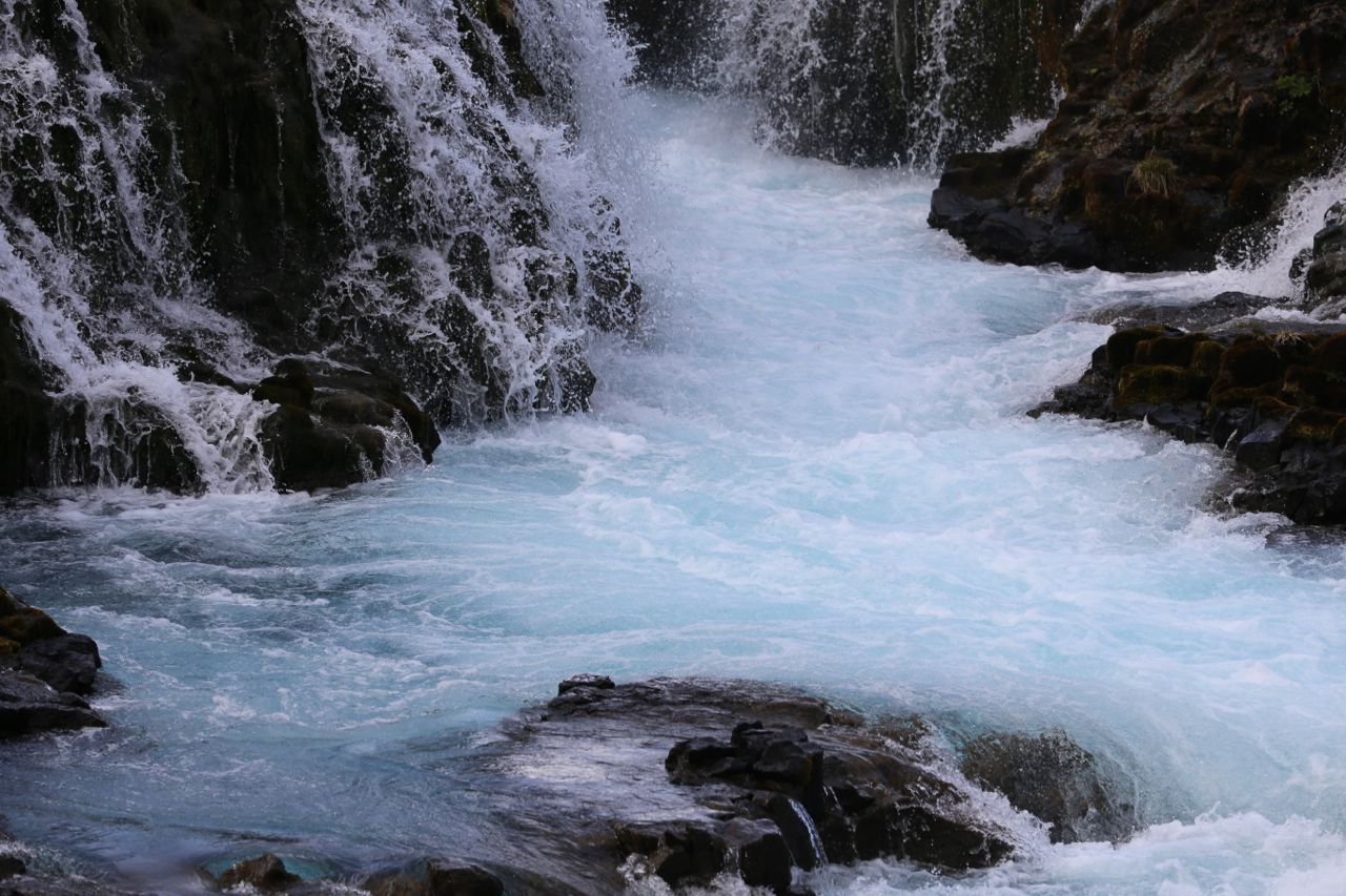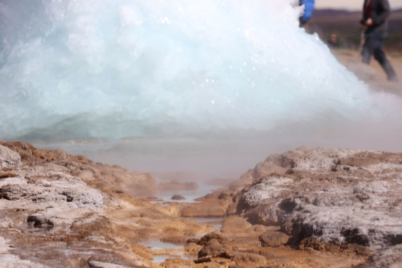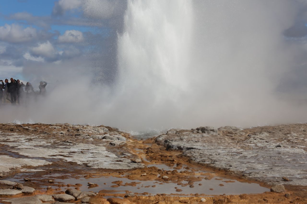
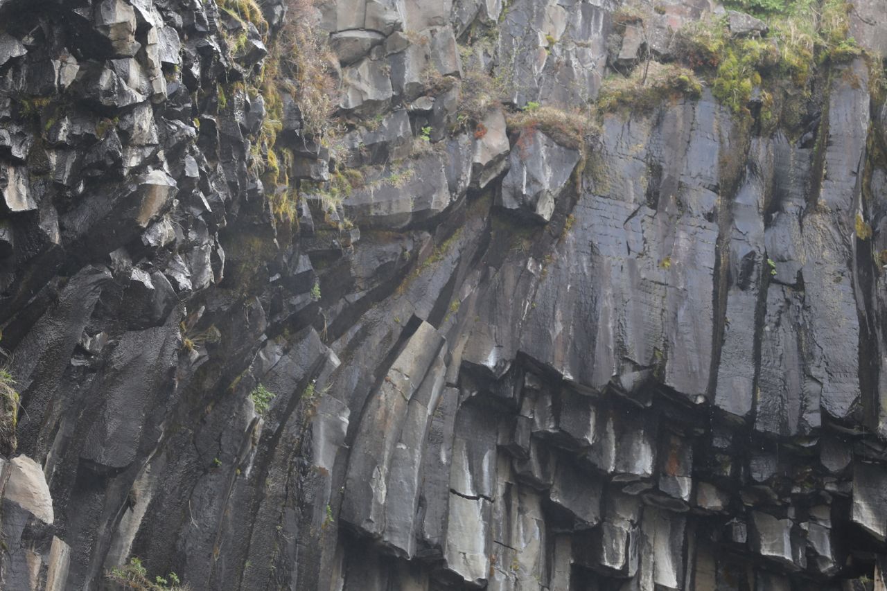
Day 5 in Iceland, after hiking up a glacier, we decided we needed more hiking, so we hiked to Svartifoss, yet another waterfall in Iceland. Svartifoss is particularly neat because it flows over basalt columns. Also there are of course more waterfalls on the way to Svartifoss, including Hundefoss.
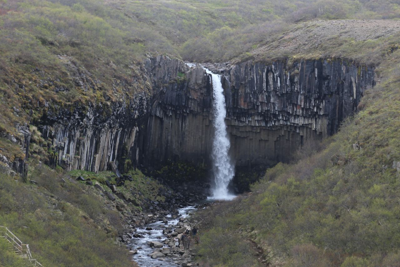
Svartifoss
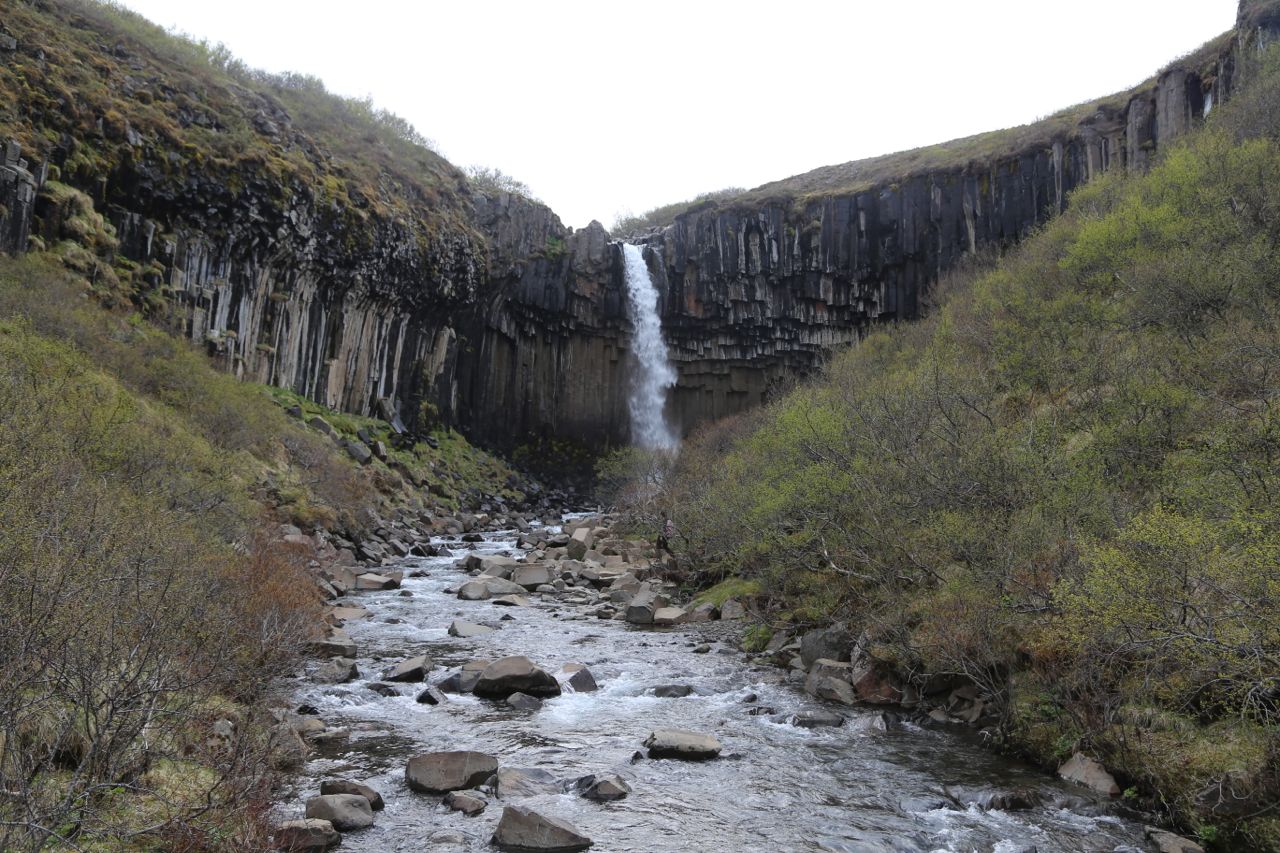
Svartifoss
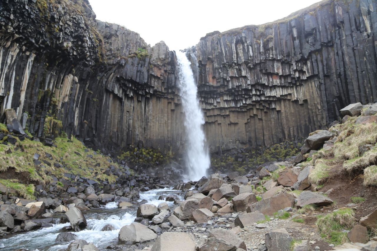
Svartifoss

Svartifoss closeup with basalt columns
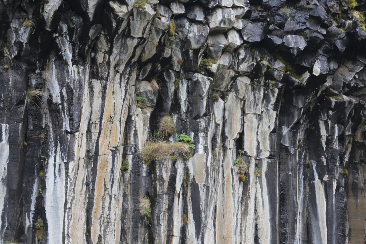
Basalt Columns
Basalt Columns morphed
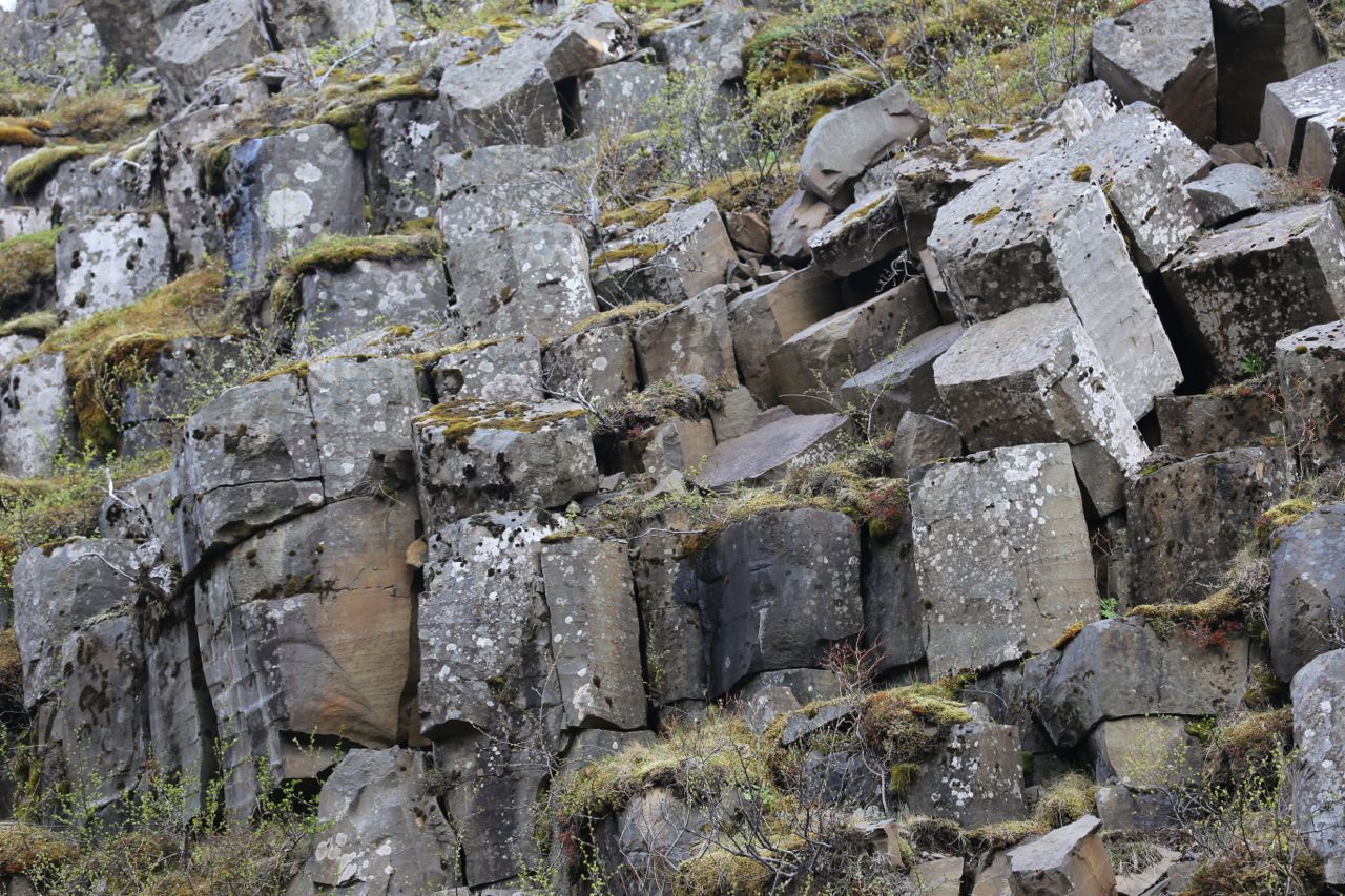
Basalt Columns pieces
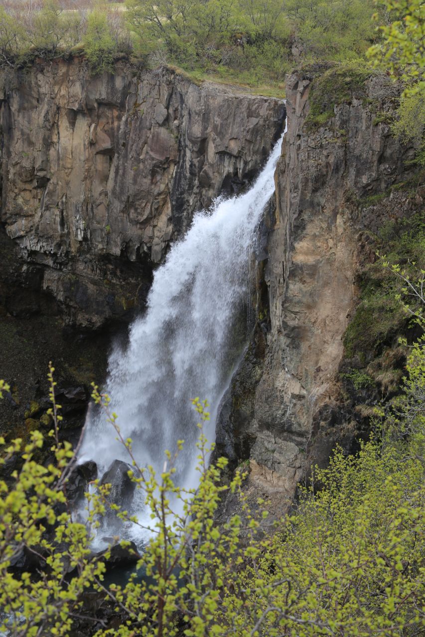
Hundafoss
Hundafoss
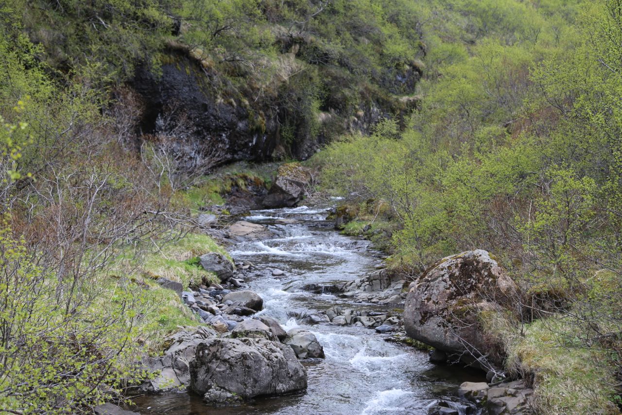
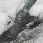
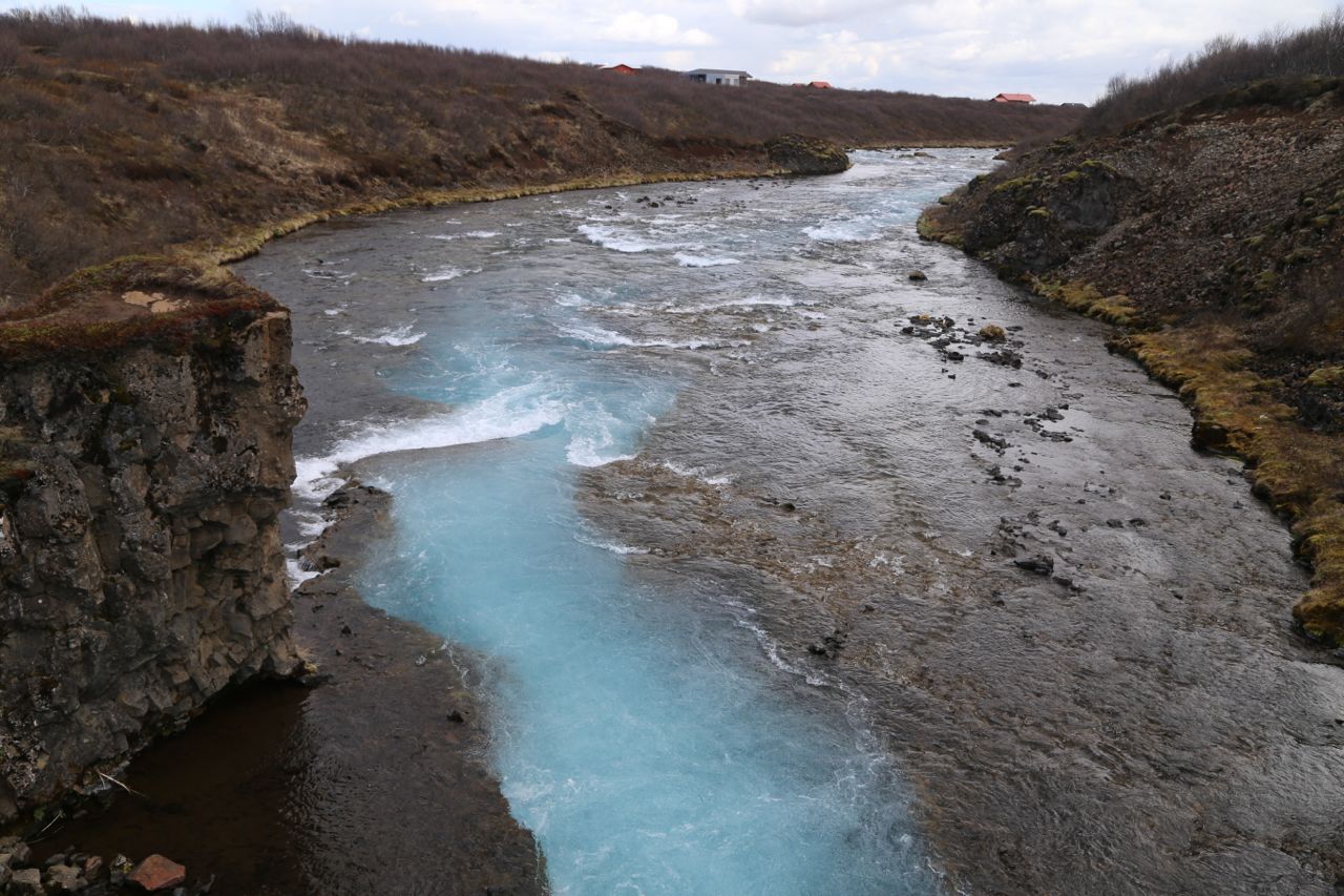
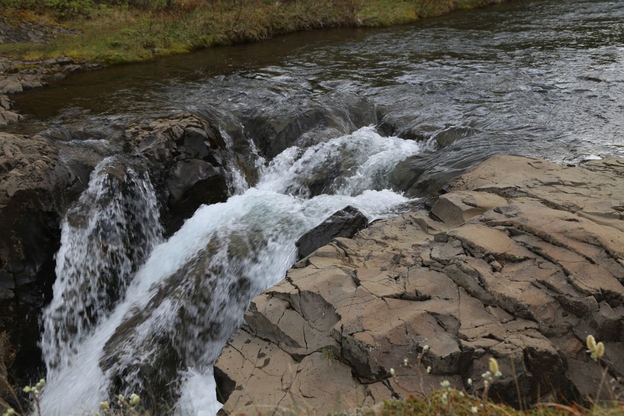
Stream from Hundafoss