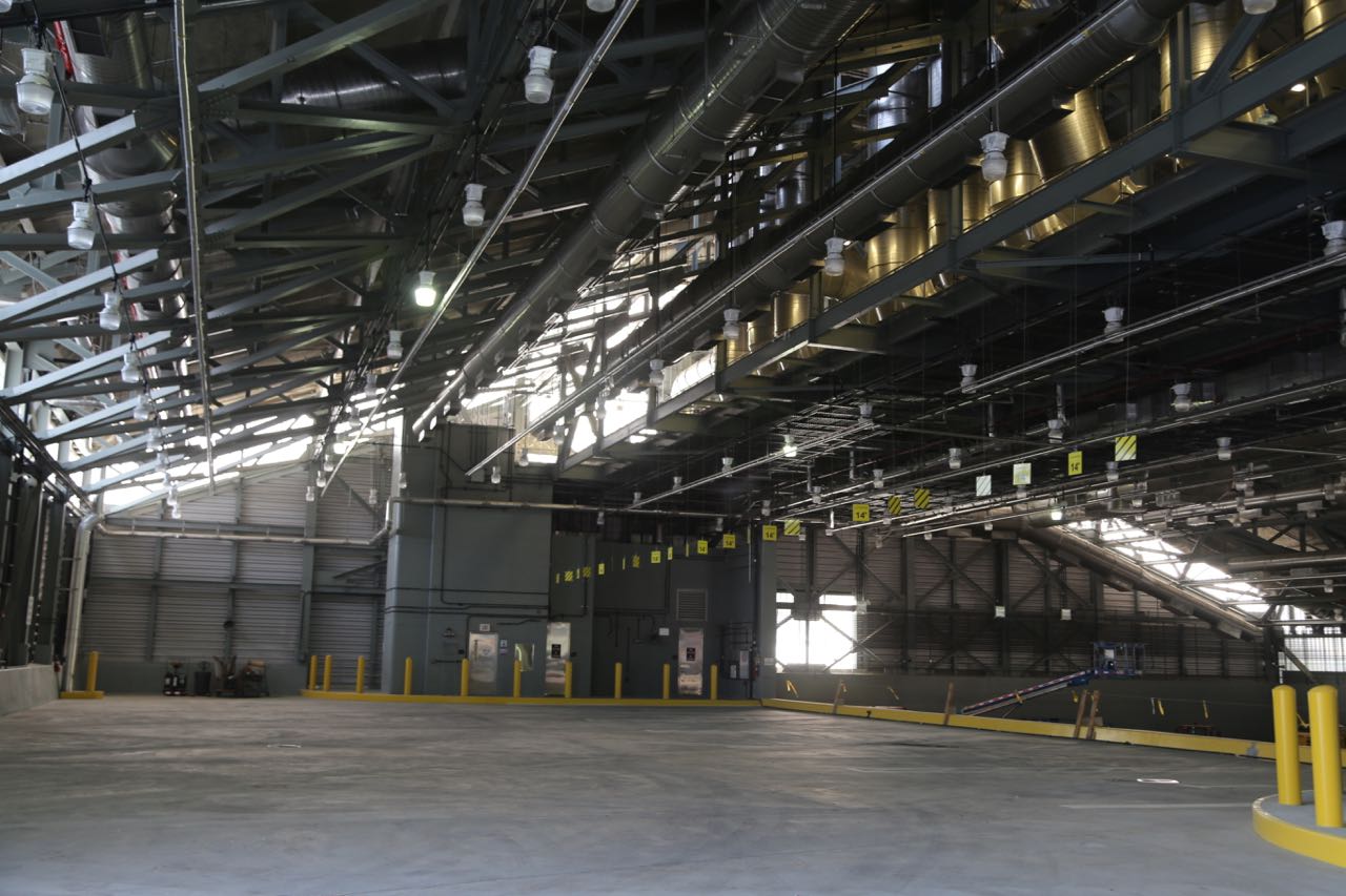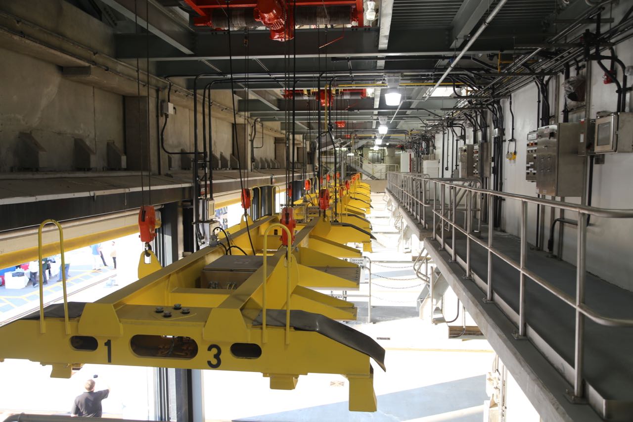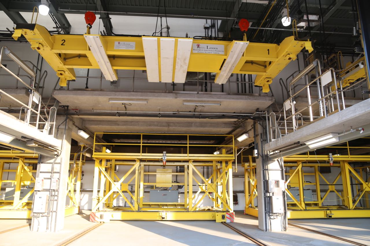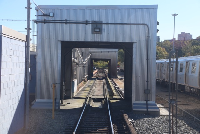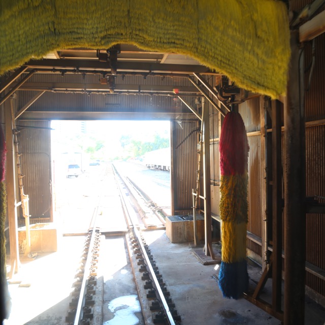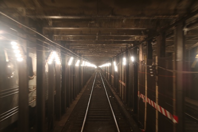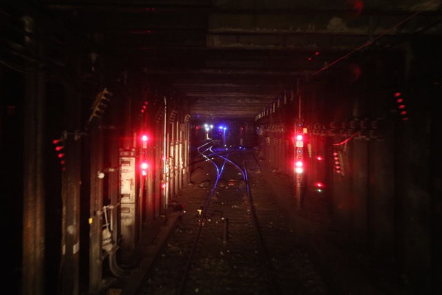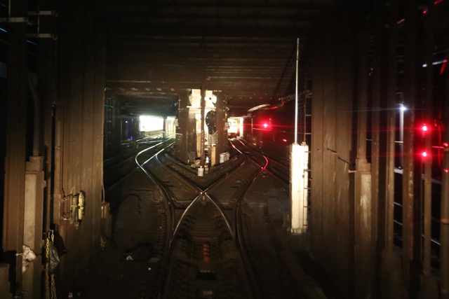
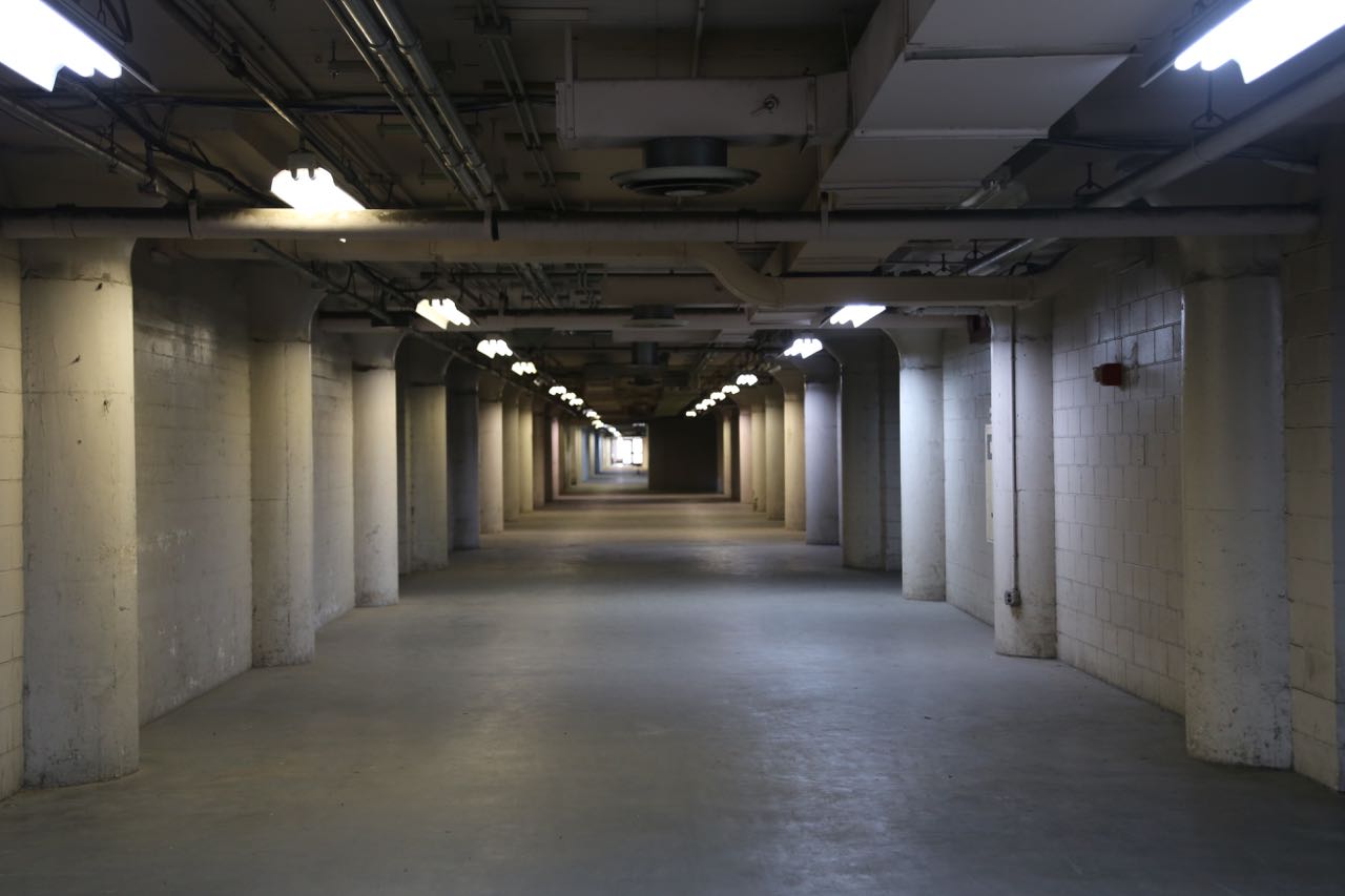
As part of Open House New York, I toured the Brooklyn Army Terminal. It was built at the end of World War I and was a huge military base that was used to transfer people and materials from land to sea. It was built in an entirely utilitarian design and in the incredibly short time of 17 months. However, its utilitarian design is what I find incredibly interesting. Building B has this huge atrium with two sets of railroad tracks. Trains would travel directly into the building where material would be off and on loaded from various levels. There are several bridges connecting several buildings so that material could be moved between buildings on vehicles without interfering with the train traffic below. The atrium is dramatic, and I love that the concrete pour lines are visible.
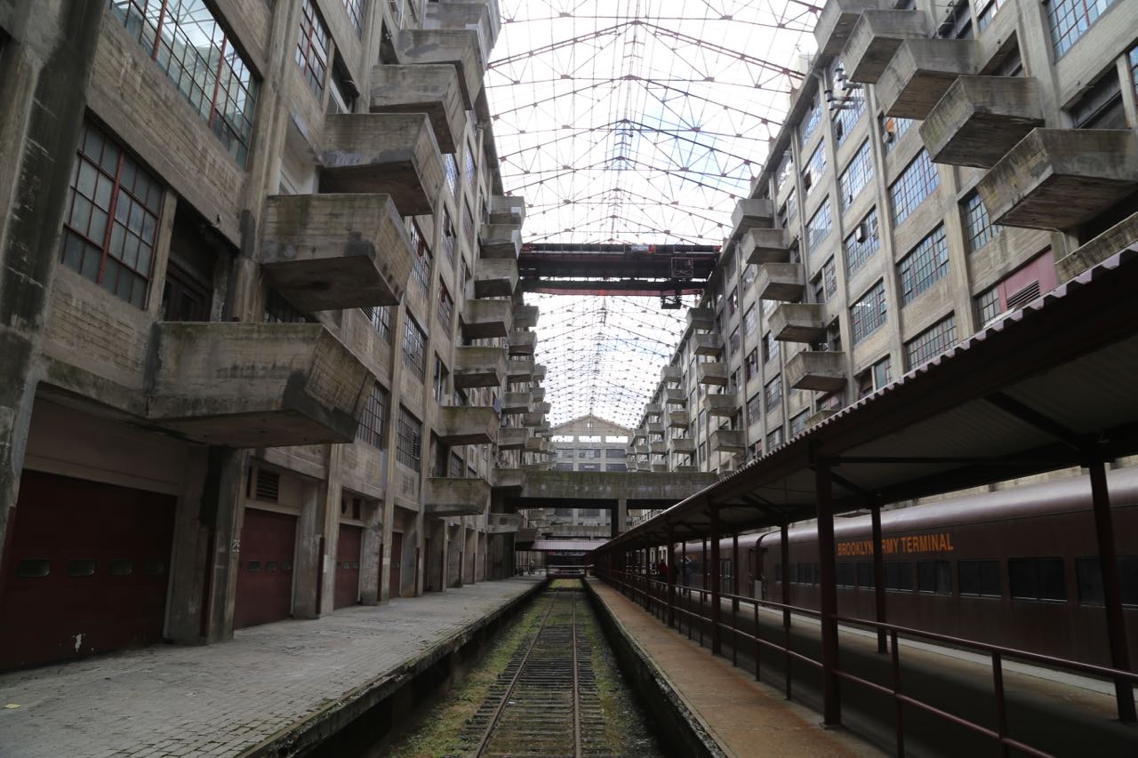
Building B Atrium

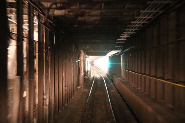
Building B Atrium
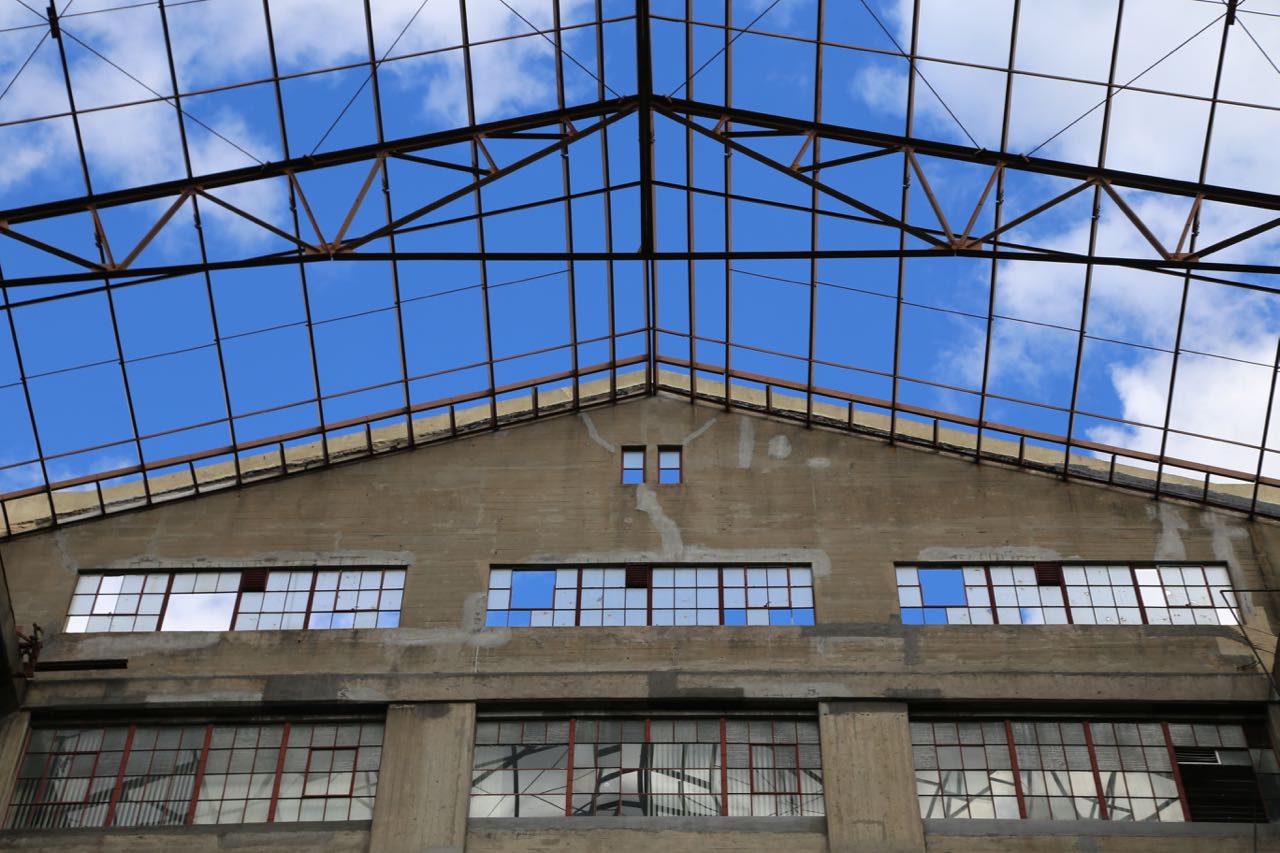
Building B Atrium
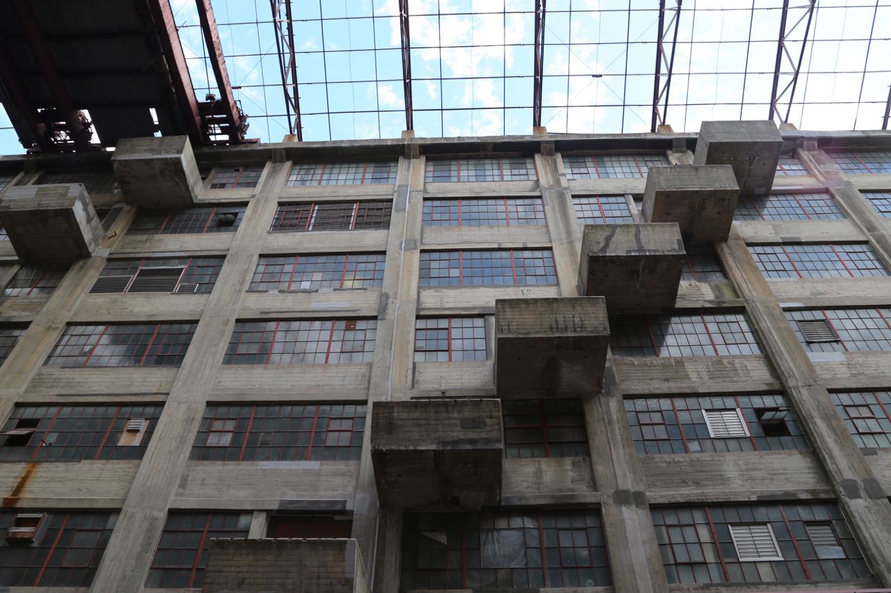
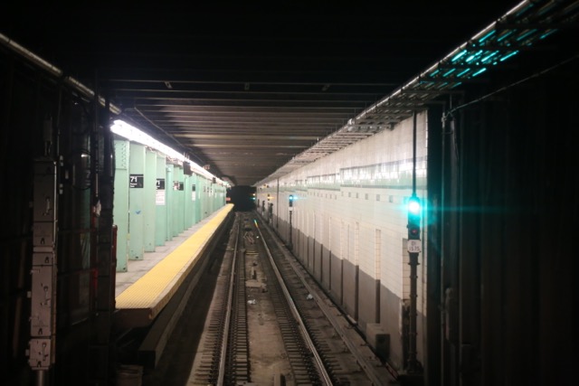
Building B Atrium
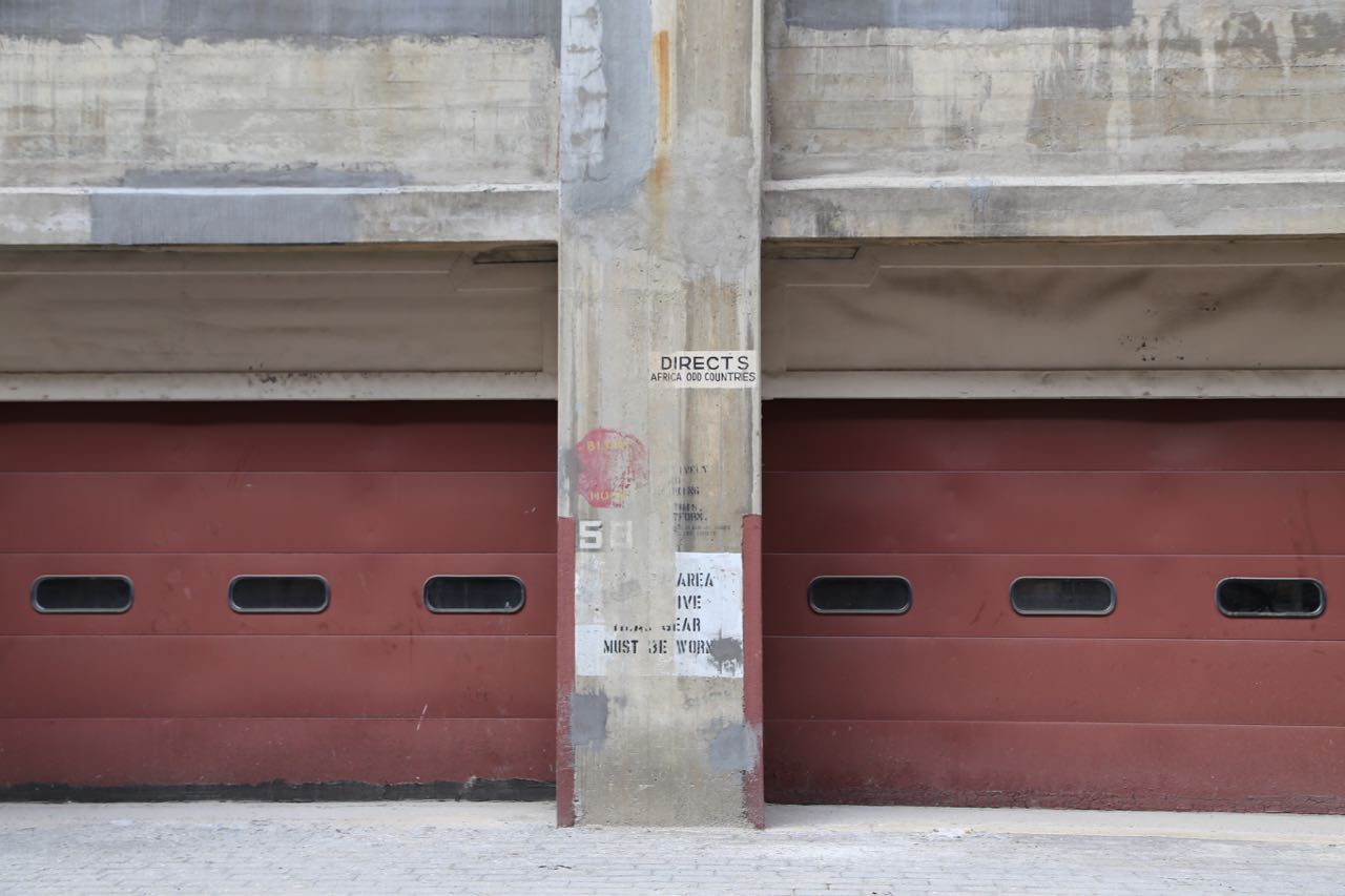
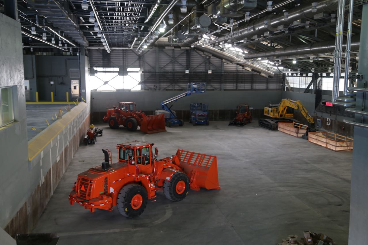
Building B Atrium loading docks
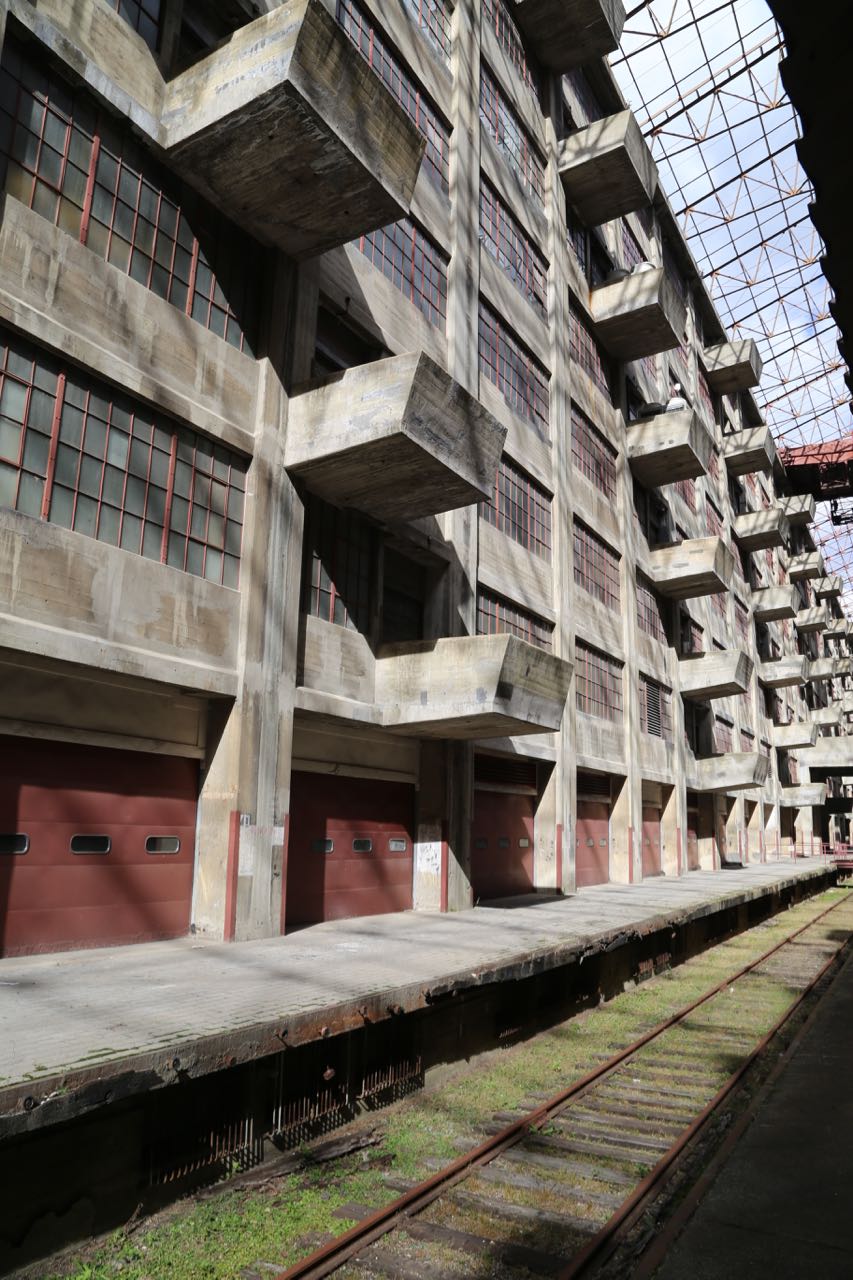
Building B Atrium
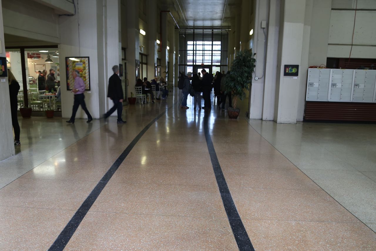
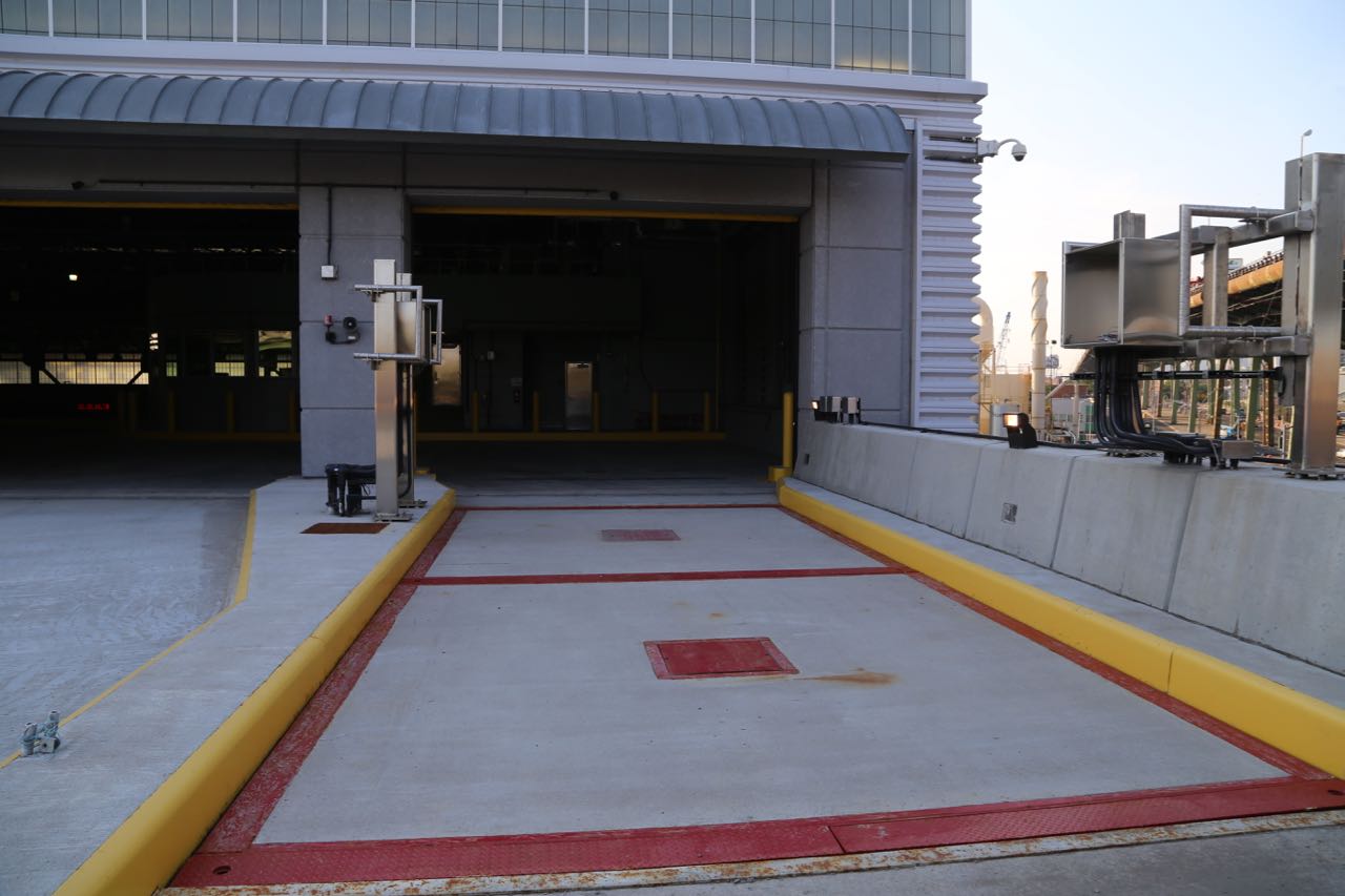
Building B entrance, the black lines show where railroad tracks originally were
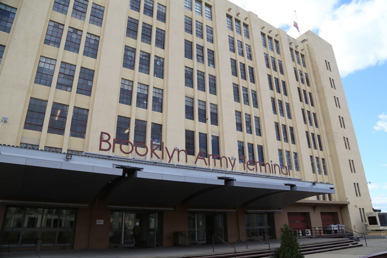
Exterior of Building A
Building A
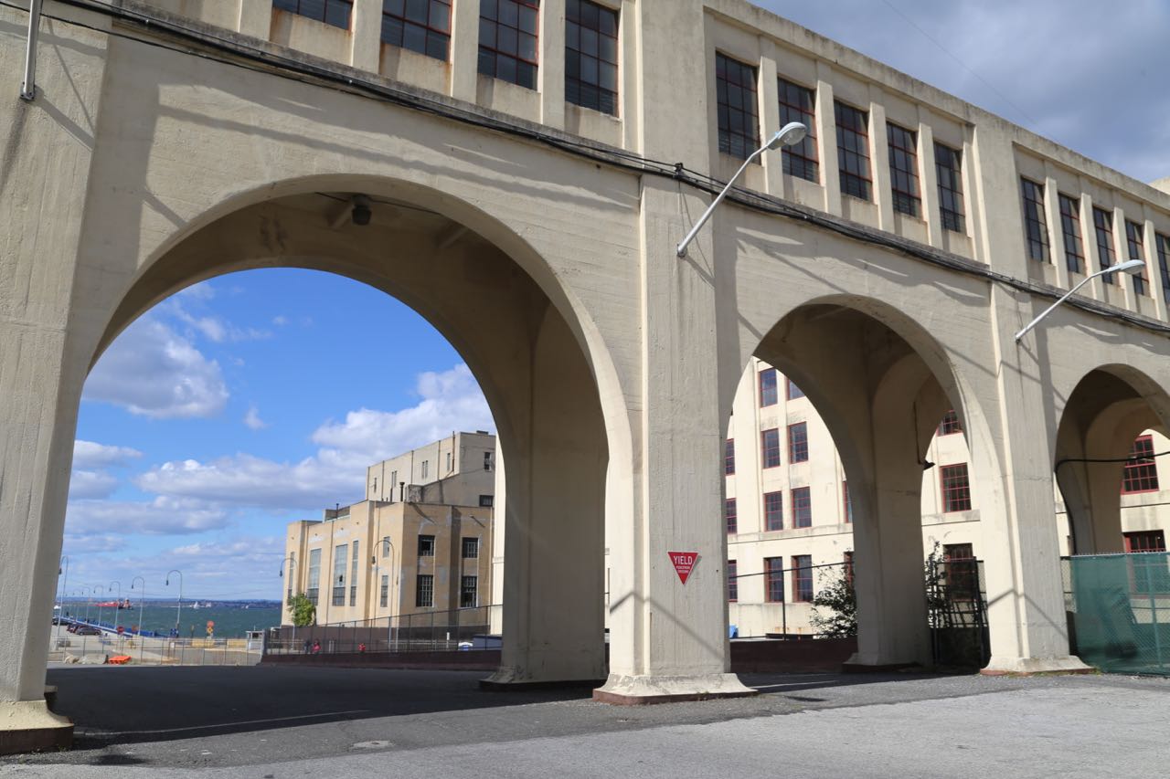
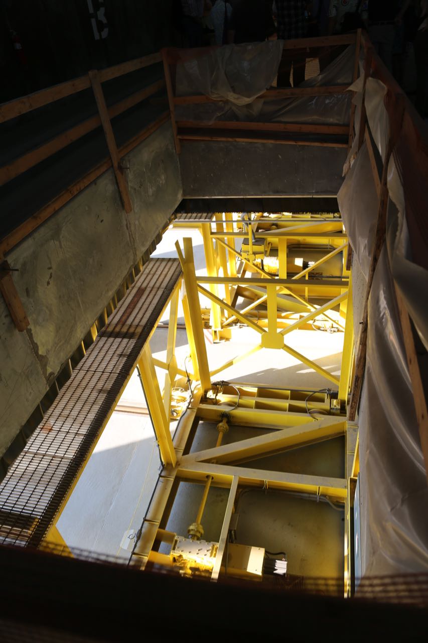
Bridge between Building A and Annex
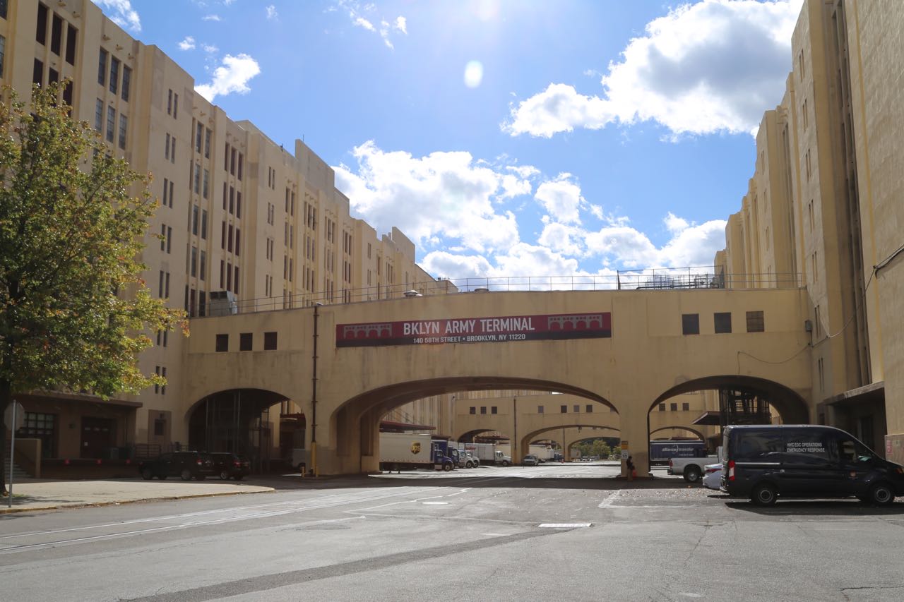
Bridge between Building A and B