Yesterday, my cruise of the Great Lakes left Detroit headed south. We left while there was still daylight, which allowed me to get some good photos of Detroit, Windsor, and the bridges over the river.
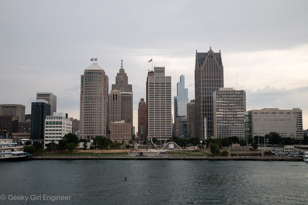
Downtown Detroit
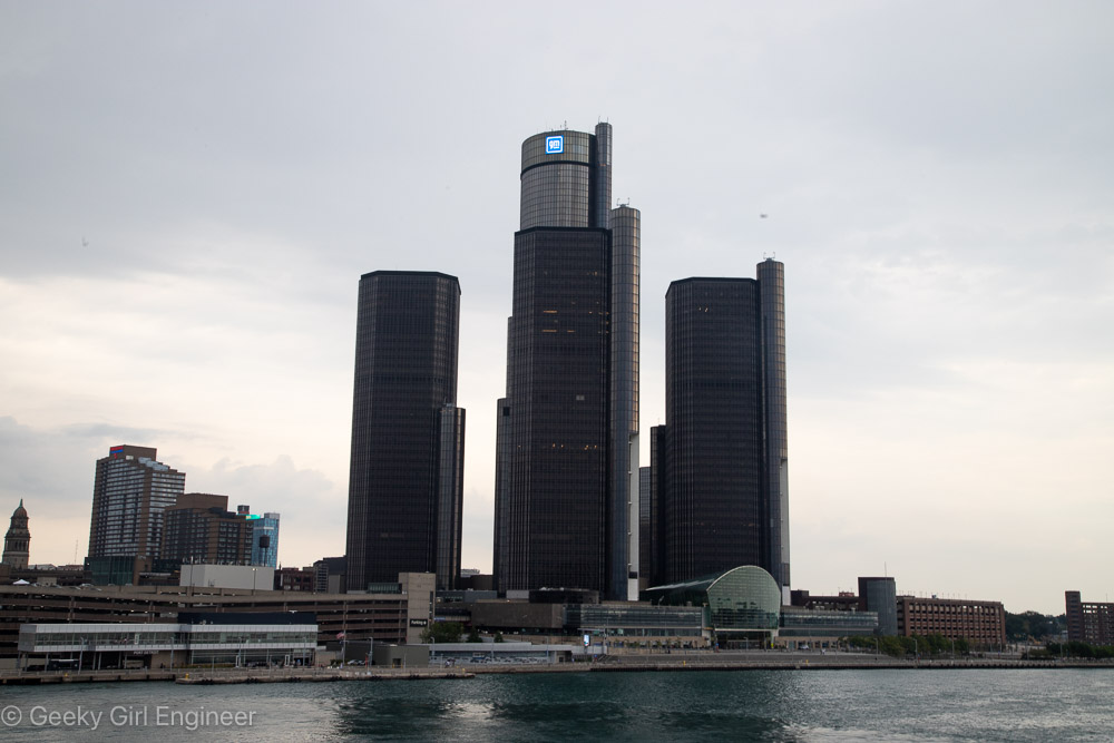
Renaissance Center
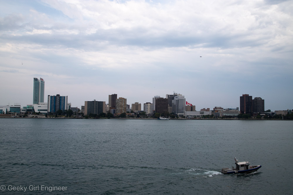
Windsor
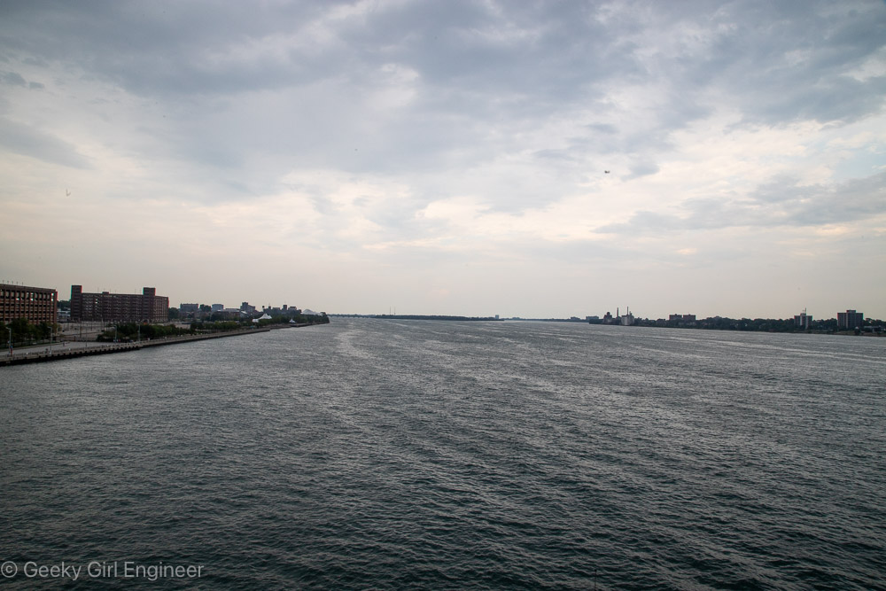
Detroit River looking north from downtown Detroit
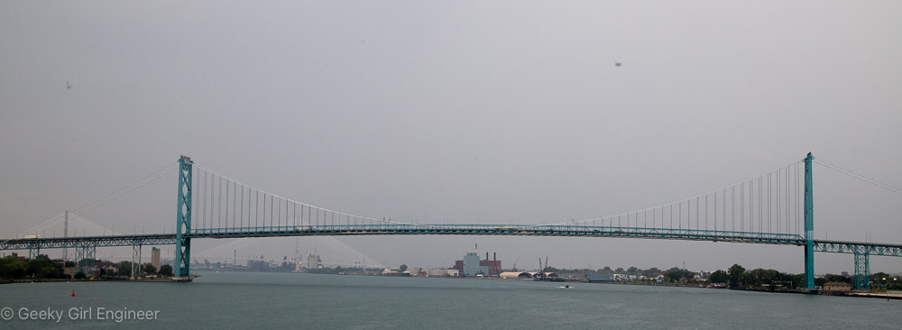
Ambassador Bridge
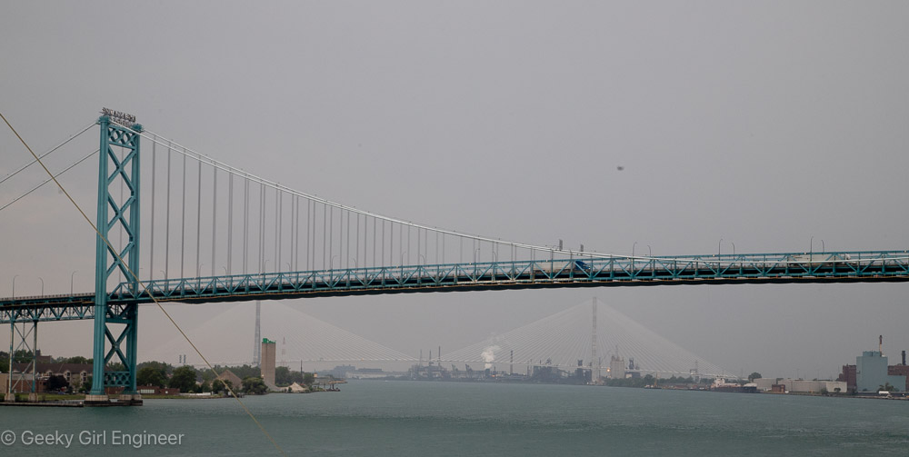
Ambassador Bridge with Gordie Howe International Bridge in background
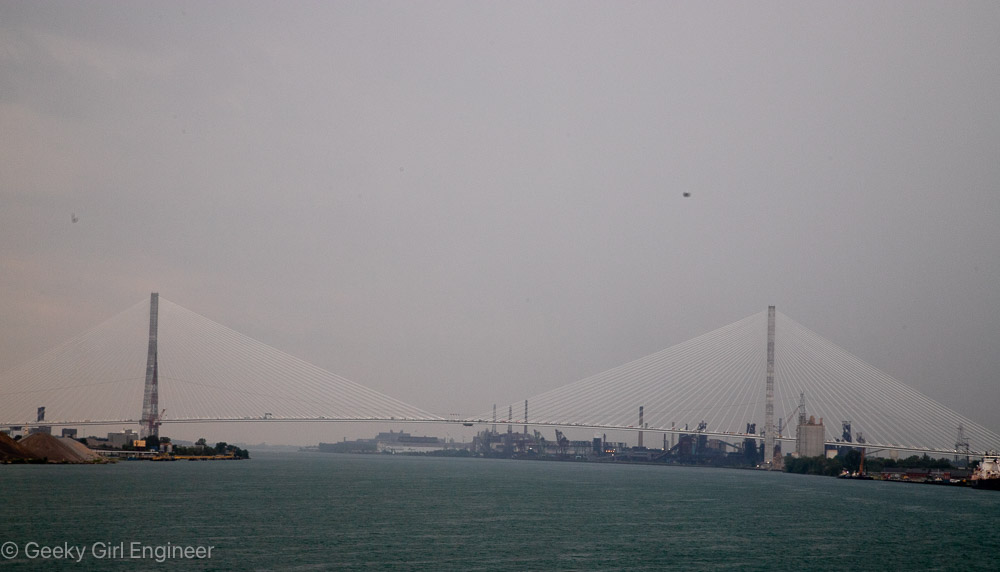
Gordie Howe International Bridge
Gordie Howe International Bridge
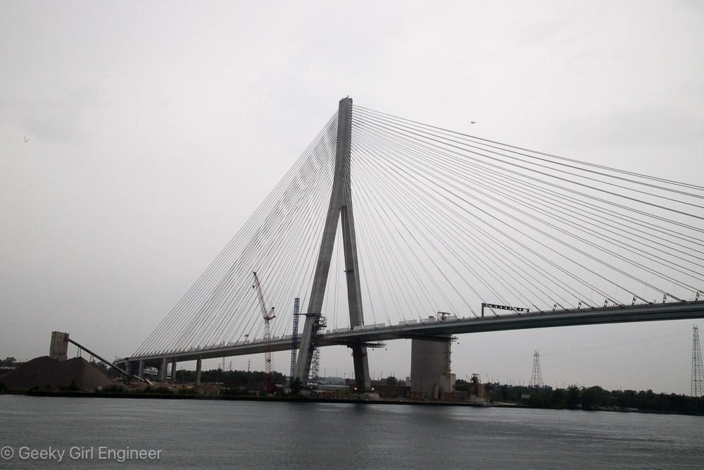
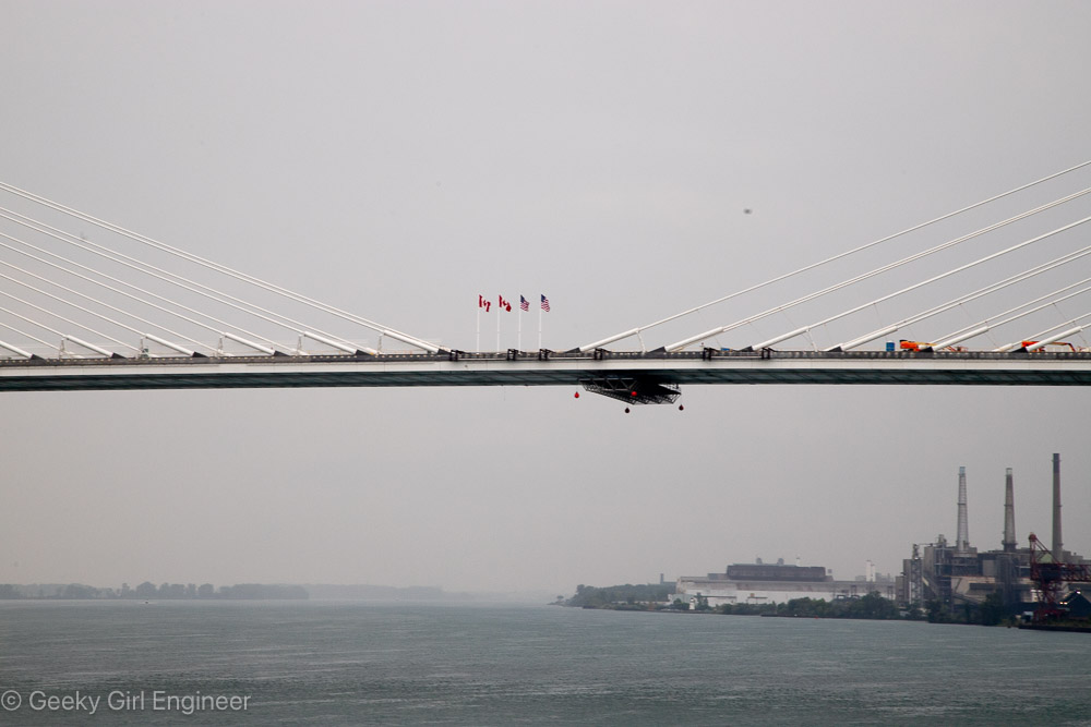
Gordie Howe International Bridge