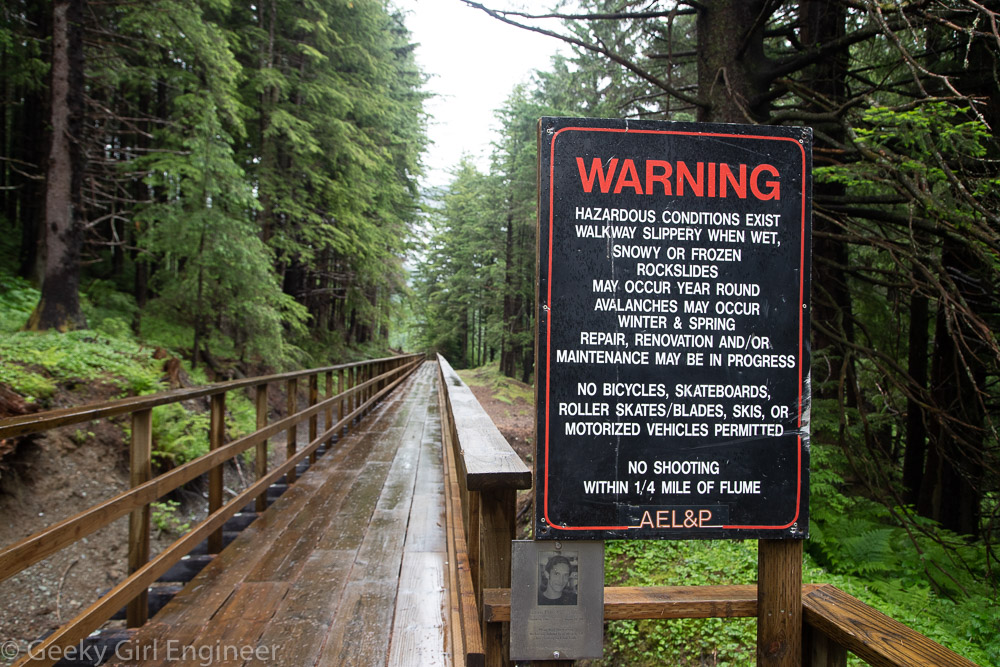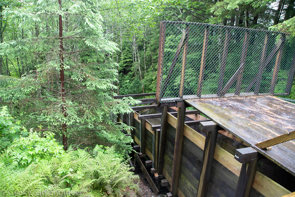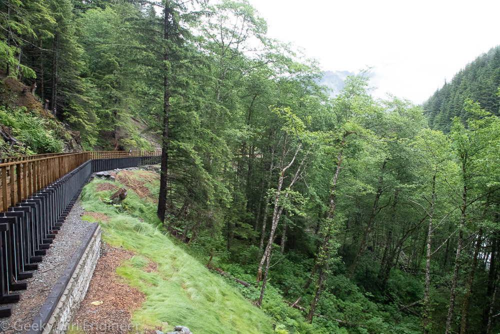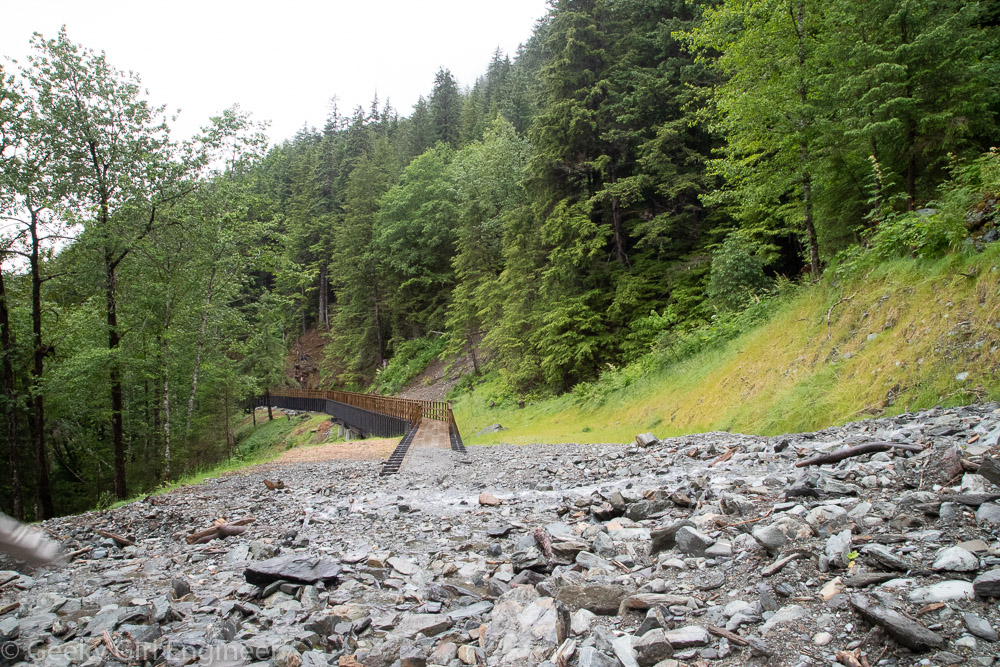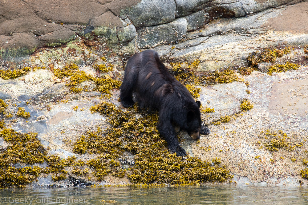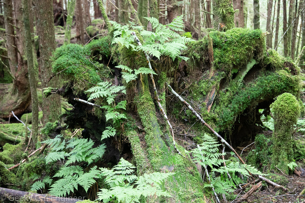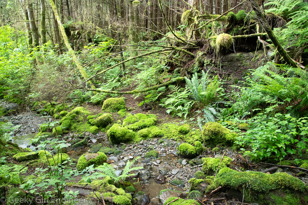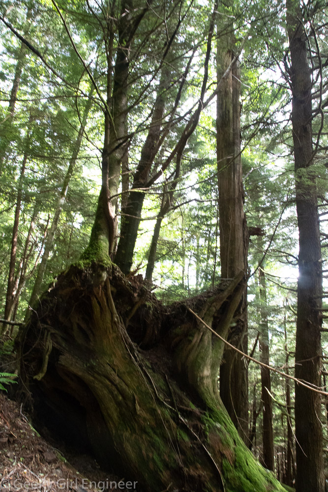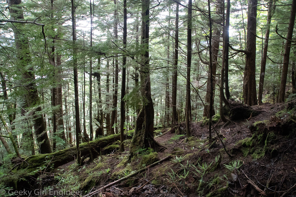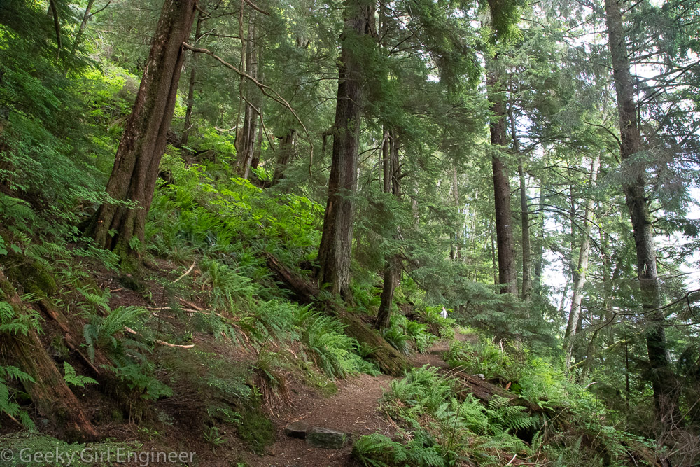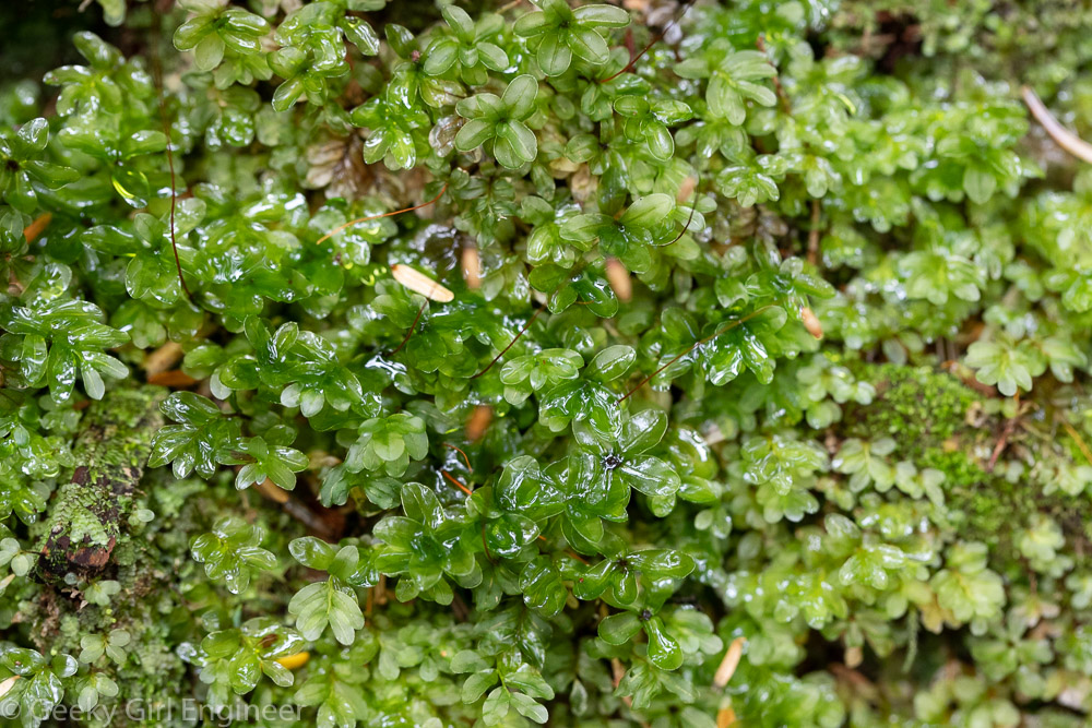
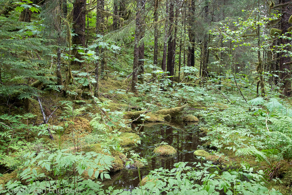
We spent the say at Mendenhall Glacier Recreation Area, which has lots of hiking trails to see the area. Some of the trails are to provide good views of the glacier, some are for hiking in the woods, and some are few viewing the salmon and the bears when the salmon are spawning. There salmon were not here yet, but we got really lucky and saw a momma bear and her two cubs. The visitor’s center has photos and a film that shows just how much the glacier has retreated. One of the trails we hiked on also has markers showing where the ice used to be, and the retreat of the ice is incredible. The area is lovely, and one thing I liked was how basically anything that was not moving was covered in lichen and moss.
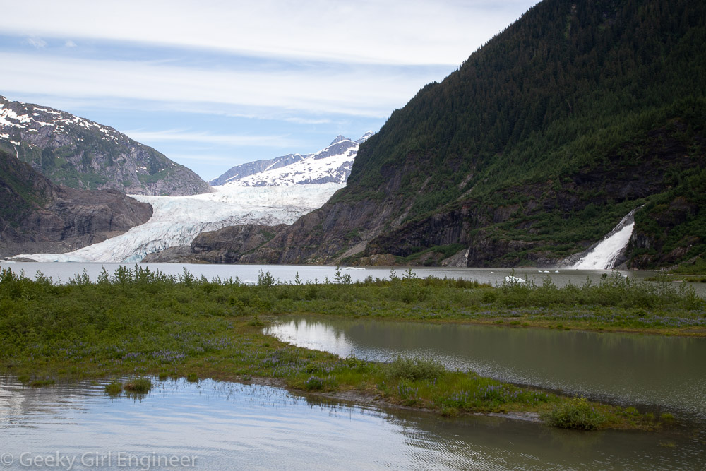
View of the Mendenhall Glacier and Nugget Falls
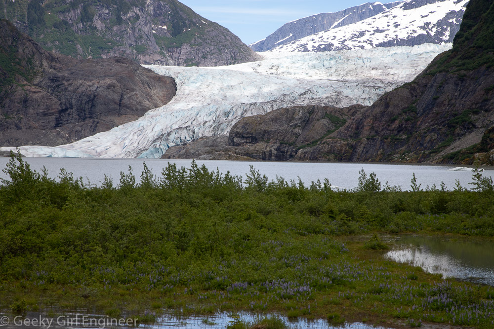
Mendenhall Glacier
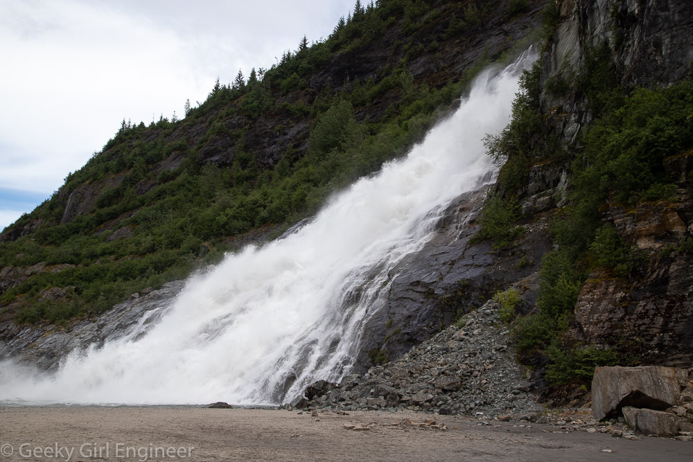
Nugget Falls
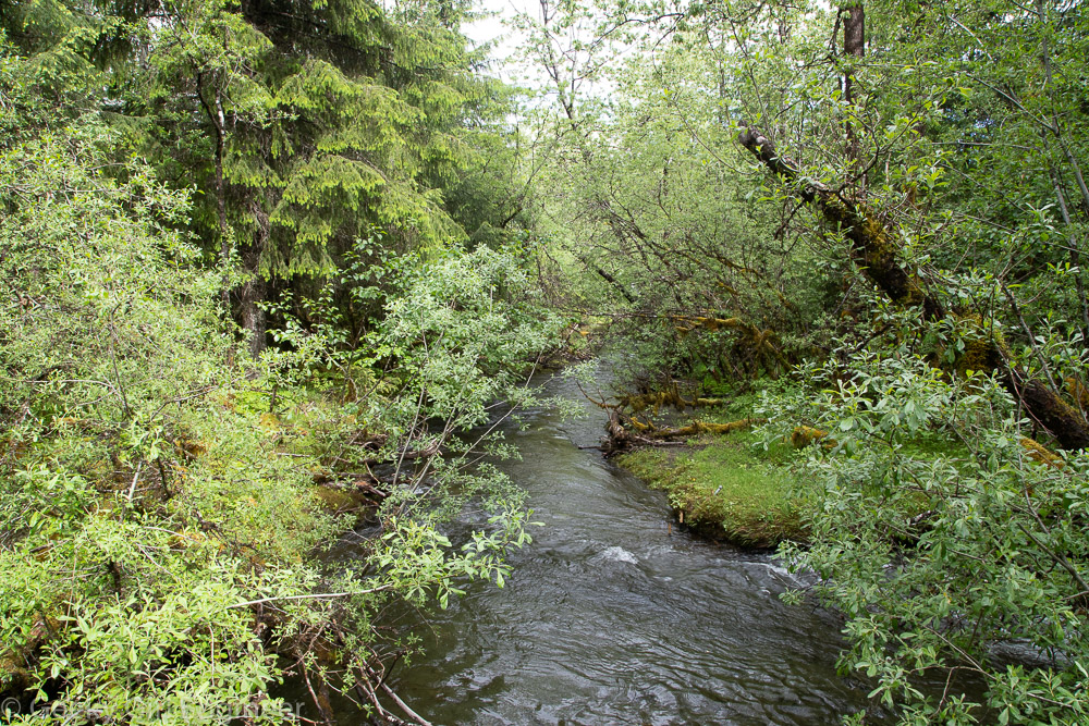
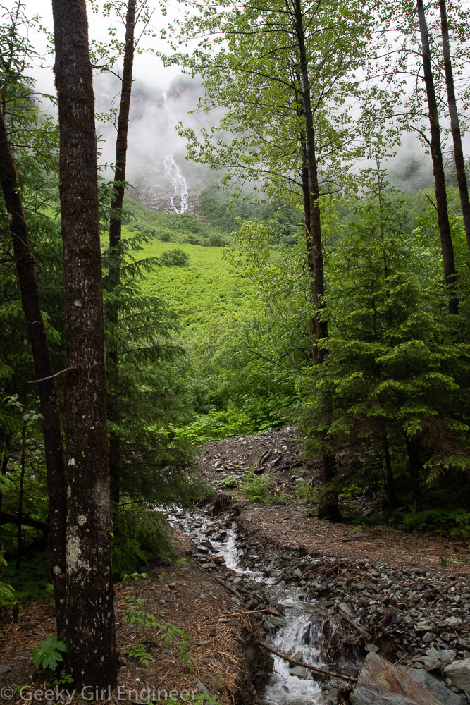
Steep Creek. Streams from mountain runoff are everywhere
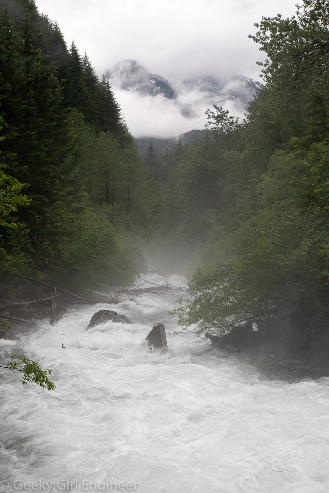
Steep Creek flowing into glacial lake

Black bear and one of her cubs
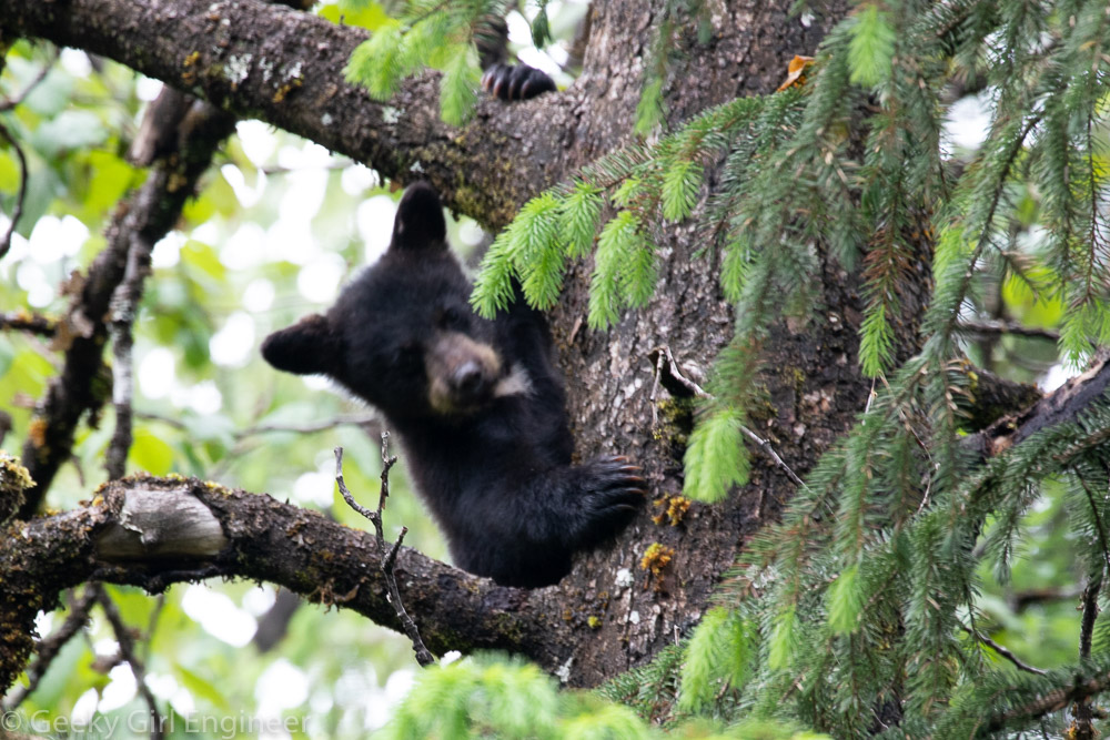
Second black bear cub was originally sleeping in the tree before joining mom and sibling

Lichen and moss on a boulder
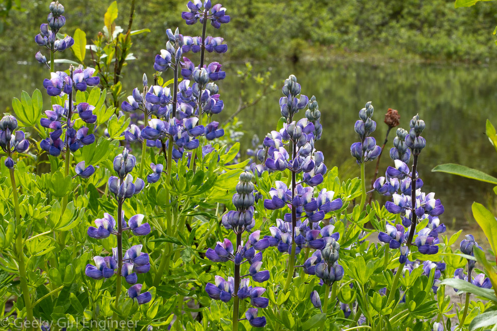
Lupines
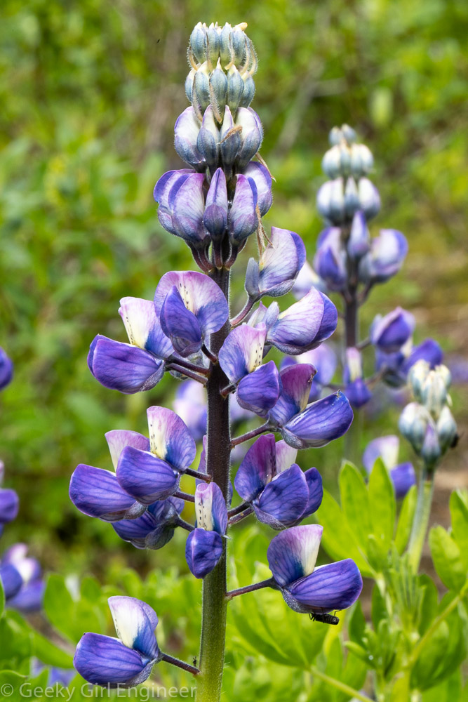
Lupines
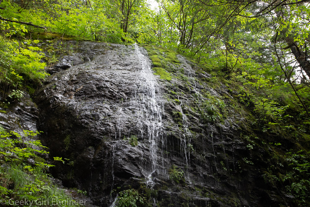
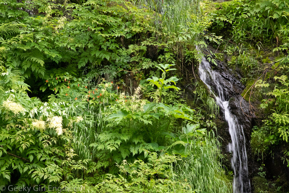
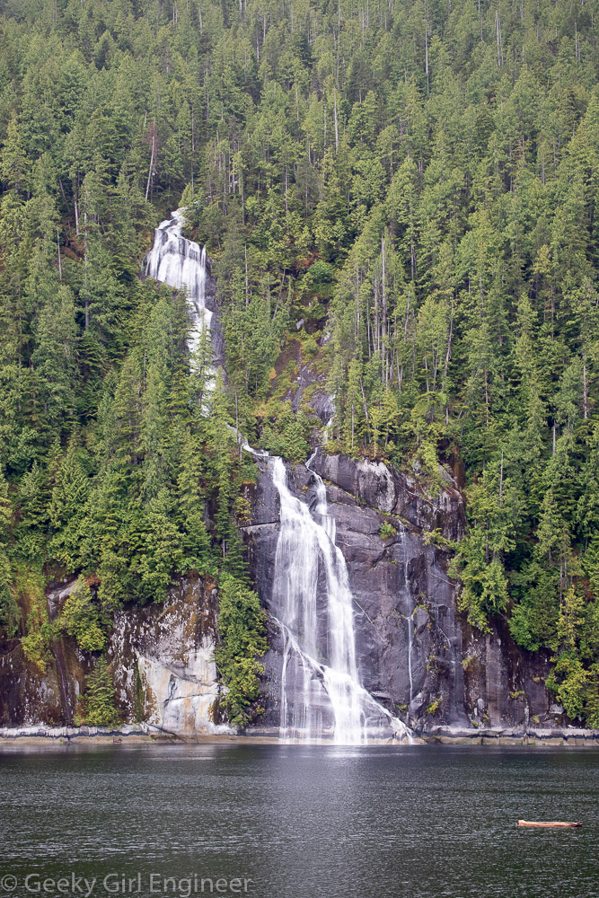
Small waterfall on Trail of Time trail
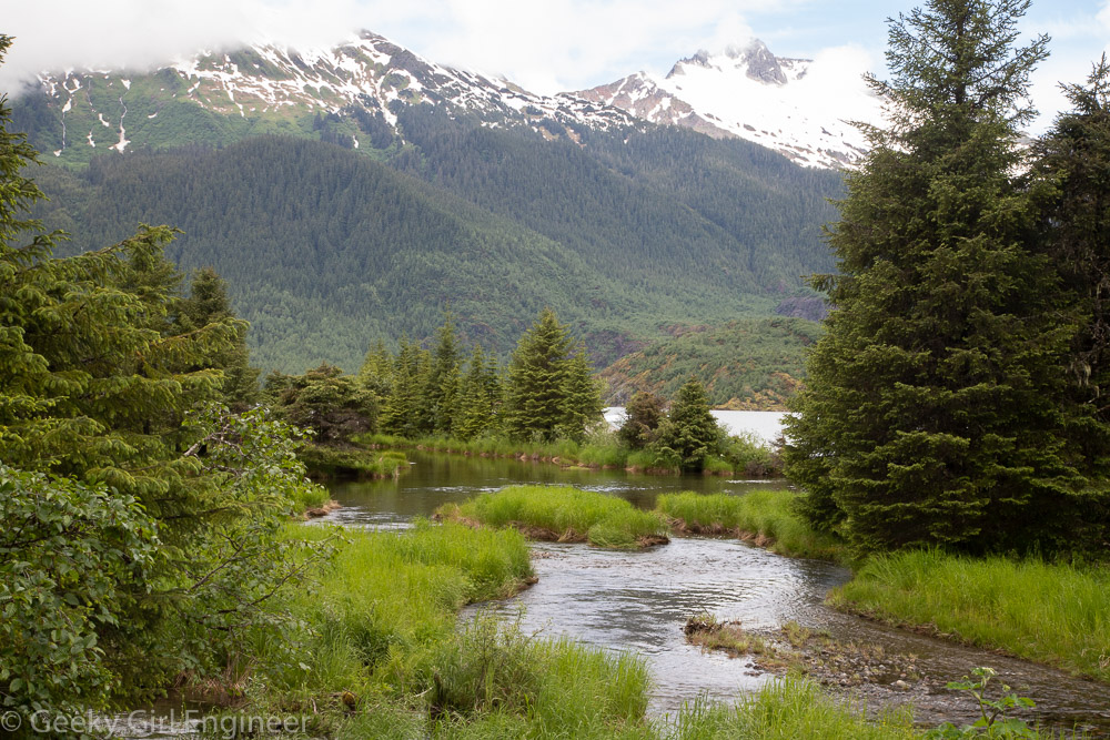
Small creek