National Assembly of Quebec

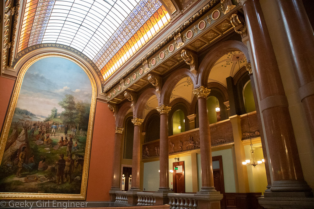
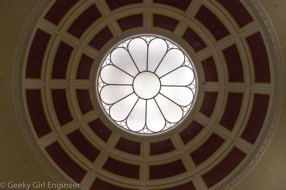
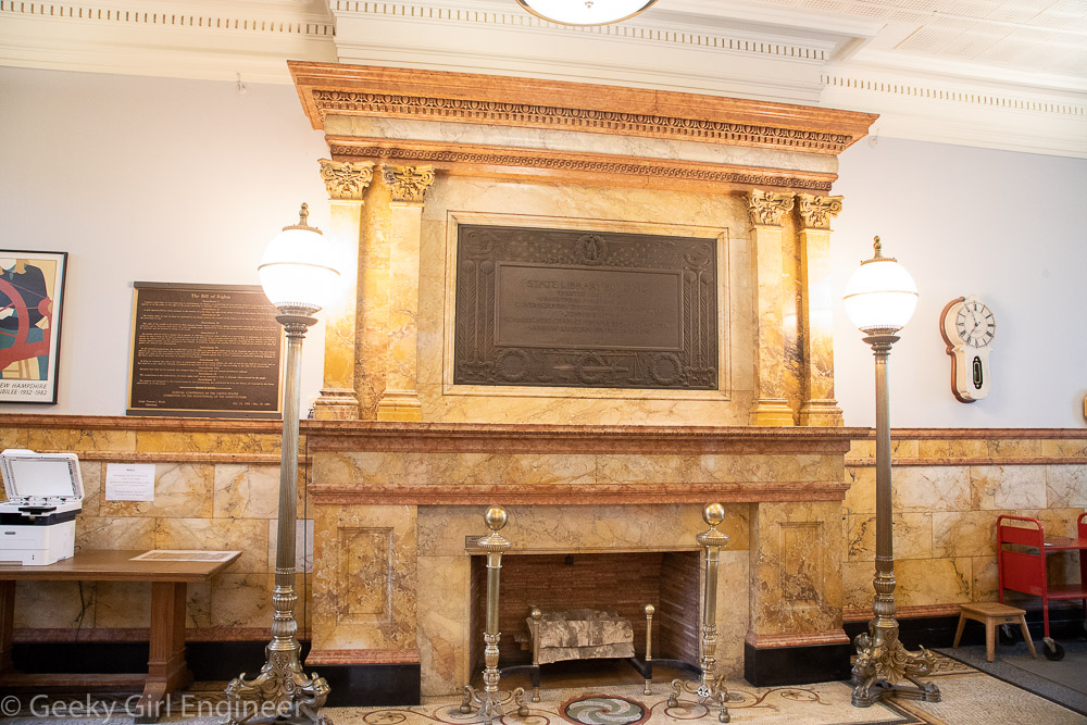
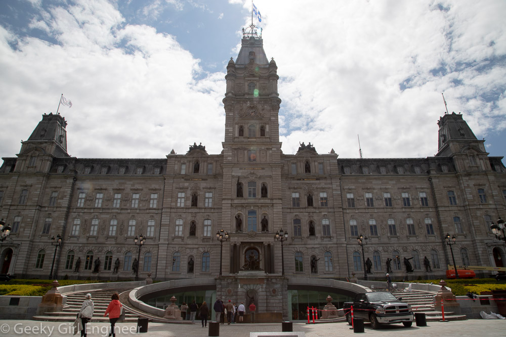
I have noted before that I want to see all the U.S. state capitols. I am in Quebec, so I decided to see its provincial capitol and add that to my list. They call their capitol the National Assembly of Quebec. It consists of one chamber. They used to also have the Legislature Council, which was akin to the British House of Lords. I am sure it was explained on the tour why and when they got rid of it, but I missed it. In any event, the current capitol is the fourth one. I have noticed a theme with U.S. state capitols that they are not in the original buildings. In many cases, they need a bigger building, but in many cases, the capitol burned down. Quebec has a combination of those reasons. The first one was too small, and the second and third buildings burned down. The current building also was a bit too small evidently as they added onto it. We only saw a small portion of the building, and the new entrance for visitors is underground and then connects to a new building, which connects to the old building.

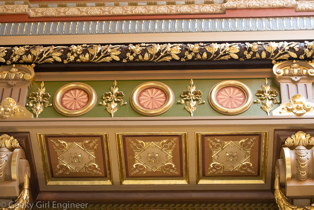
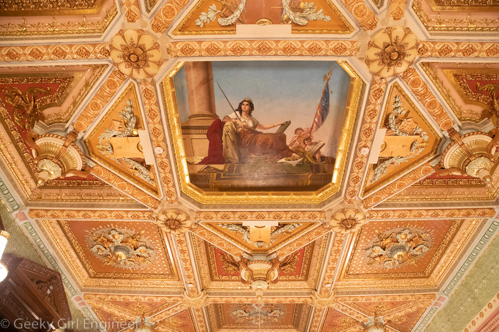
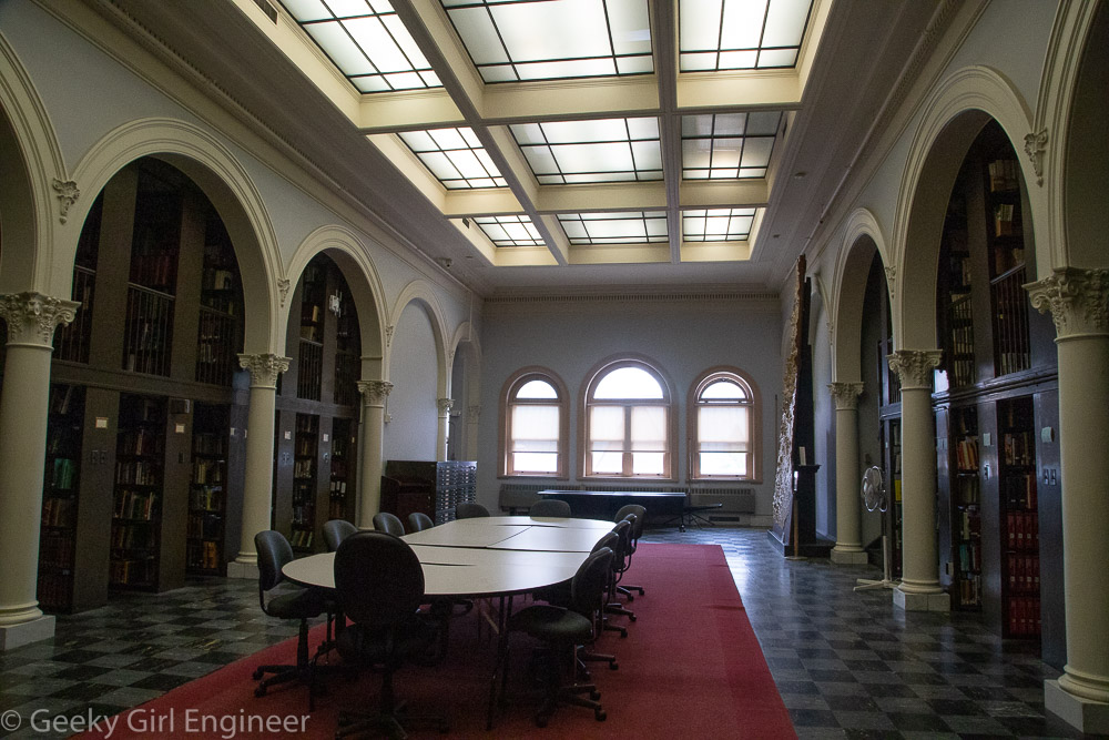
The building is very French in style. Inside, there is symbolism one would expect, including French and British. The chambers are modeled after the British House of Commons and House of Lords. My favorite bit of trivia I learned was that the National Assembly room was originally green like the House of Commons, but when proceedings started being televised, the politicians didn’t like the way they looked with all the green in the room, so the room was repainted blue with all other accents changed from green to blue. The blue works well with the Quebec flag, but it wasn’t changed because of the flag. It was changed because politicians didn’t think they looked good with a green background. The two chambers are mirror images, except the color, artwork, and furniture. They wouldn’t let us take photos in the National Assembly room, which really disappointed me. They had photos of each room outside, so I am including a photo of their photo.

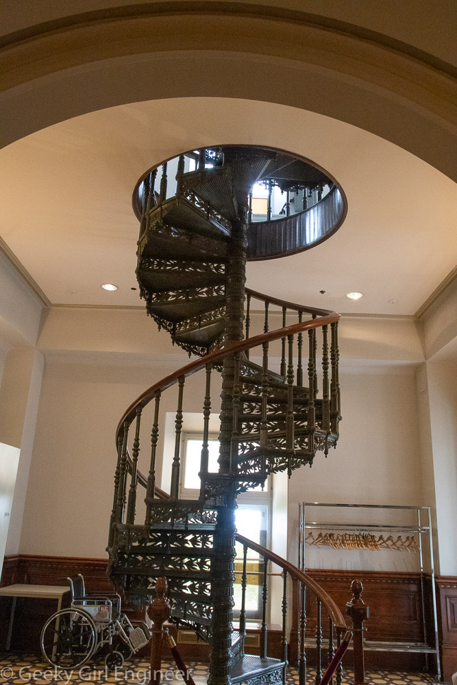
National Assembly of Quebec, circular stairs was original entrance to building

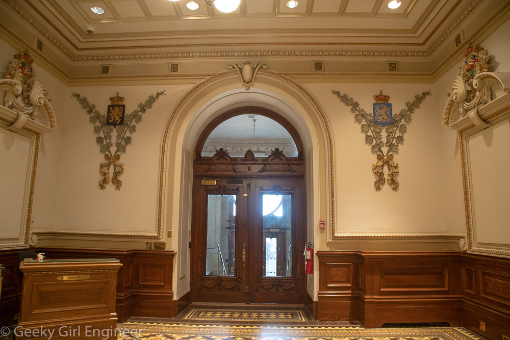
Original entrance to the building with English coat of arms on the wall with maple leaves

French coat of arms with maple leaves, along the ceiling are an English rose, Scottish thistle, and Irish shamrock

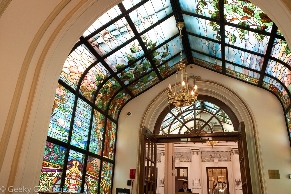
Entrance to restaurant in new part of building

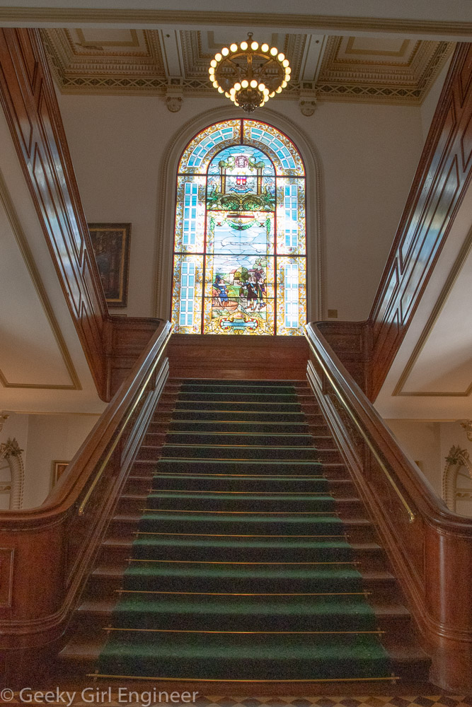
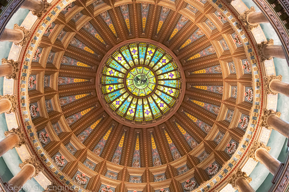
Stained glass in stairwell

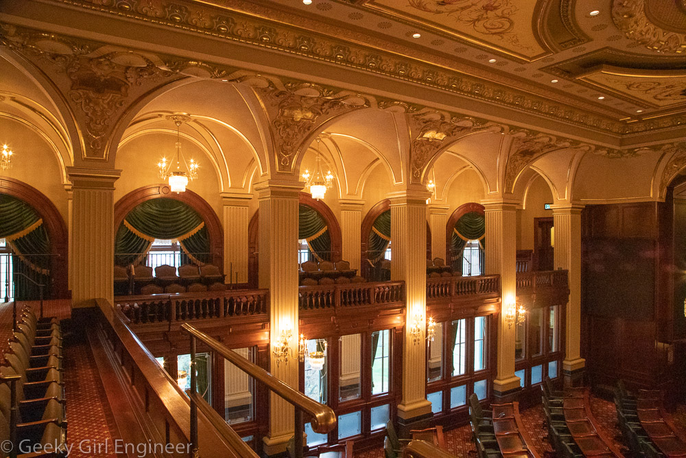
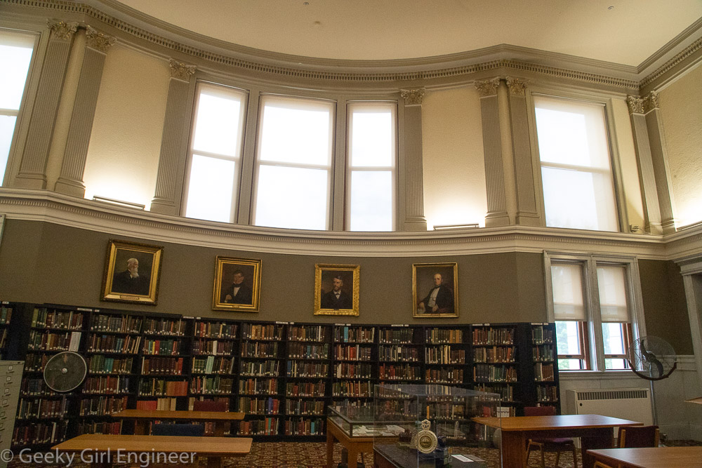
Legislature Council room which is now used as a hearing room, conference room, or for presentations

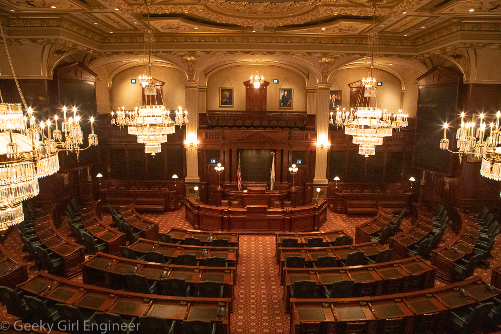
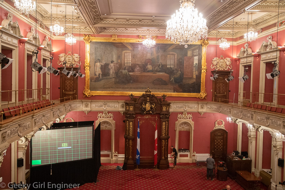
Photo of National Assembly room; they wouldn’t let us take photos inside

Stairwell to tower

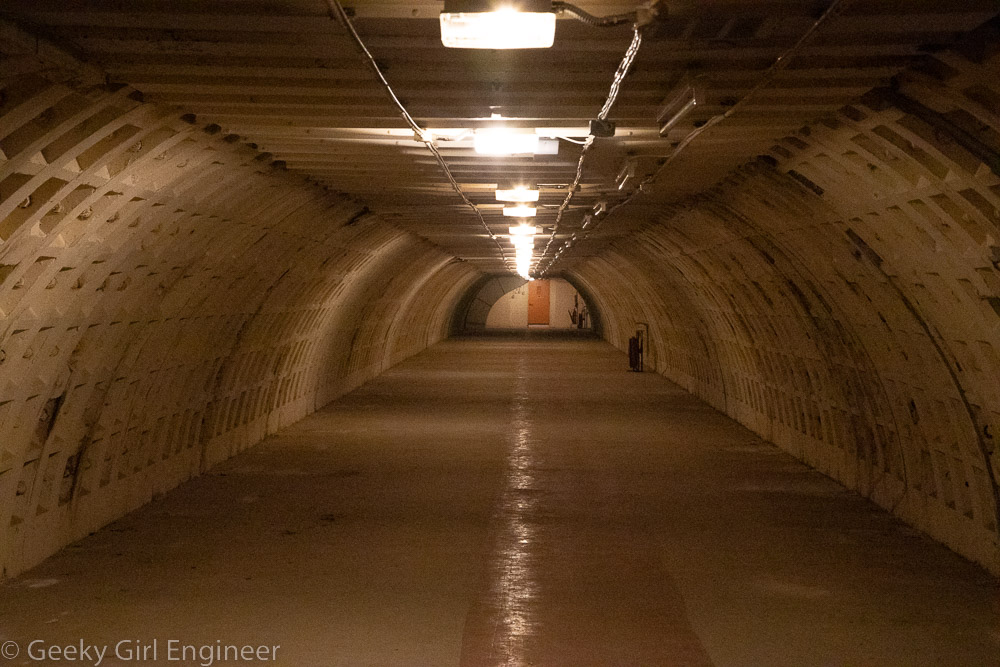
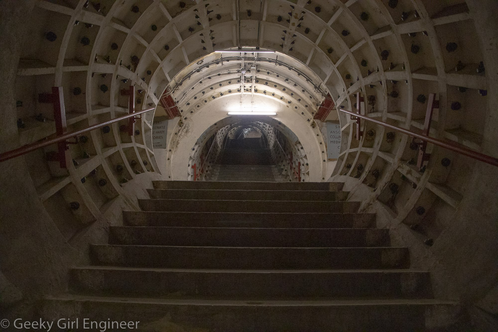
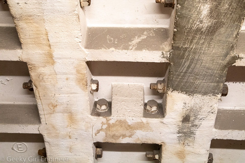
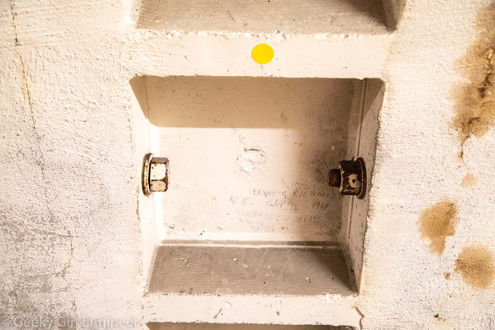
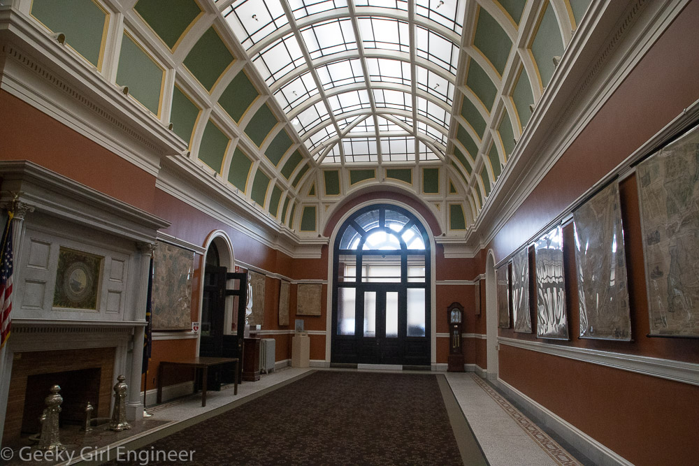
Tunnel connecting new entrance to original building with light art

Powerhouse Arts

Powerhouse Arts is a new arts and fabrication studio and rental venue housed in a renovated power station in Brooklyn, New York, and they hosted an open house today through Open House New York.The building has been completed renovated, but they have left some of the graffiti on the walls from when the place was essentially abandoned, and squatters lived there. The facility now houses several different art studio areas like a ceramics area and print shop. It also has huge spaces that can be rented. The facility is right on the Gowanus Canal, and it has wonderful views of Brooklyn and Manhattan.

Powerhouse Arts located in an old power station

Former steam production area

Downtown Manhattan and the Gowanus Canal can be seen

Former turbine hall

Former turbine hall

Former turbine hall

Newly commissioned artwork in the Grand Hall

Graffitti in entrance hall

Google Maps Walking Adventure

I use Google Maps all the time. It is really convenient, and for the most part it works well with various types of travel modes. I probably use it more for walking routes and public transportation than I do for driving. It is far from perfect, and it has a truly annoying habit of refusing to show public transport routes only without cars. It has an annoying habit of telling me to take a car to a subway station, which is just plain silly. You can tell it to give you a no car option, but you have to select that option every single time you use it on the phone. Still, it is useful.

There is a guided walk on Staten Island that I am interested in joining, so I used Google Maps to determine how I could get there on public transportation. Whenever I am in New York City, I always stay in the Penn Station area, so I mapped how to get to the starting point from Penn Station. Below is the route focusing on the Staten Island portion.

Google Maps route from Penn Station using public transportation

The route involves quite a bit of walking from the final bus stop to the walking tour location, and it did not seem like the quickest route. I noticed that the Staten Island Railway (SIR) has a station not too far from the tour location, and it looks like one of the stations was a shorter route, so I had Google route me from the ferry terminal, which is the terminal for the SIR.

Google Maps route using SIR

Google Maps obliged and routed me via SIR, but the route seemed even more circuitous. It routes me three stops past the closest one to a bus. It then takes me on the scenic route to the walking tour location. I tried then to get it to route me from the closest SIR station to tour location.

Google Maps route from Oakwood Heights Station

Google Maps really wants me to take a walking tour of Staten Island, I guess. This is clearly not the most direct route. I then tried to force it to take me on the more direct route by moving the route. Things just got silly at that point.

Google Maps route from Oakwood Heights Station after I tried to steer it to a more direct route

This clearly is an absurd route, and it also seems to be taking me on a tour of a golf course, which is probably not an actual walking route. I thought perhaps I was missing something, like a road that was not open or something, so I had it route me from the same starting to ending point but in a car.

Auto route

What do you know, it knows there is a direct route, but it just refuses to believe you can walk it. I played with it for quite a bit. I also used street view to try to figure out why it would not let me walk on the same street it would let me drive.

Google Maps route from Oakwood Heights Station to coffee shop

After much experimenting, I finally found that it would give me a direct walking route to a nearby coffee shop. I still don’t know why Google Maps will not let me walk directly on to where I want to walk. My best guess is that part of the walk does not have sidewalks. The route definitely does not involve some sort of freeway or similar where it would be dangerous for a pedestrian. However, the answer can’t be lack of sidewalks because a part of the route above does not have sidewalks either based on Google street view. Thus, I don’t know.

TL/DR: AI is not taking over the world yet, at least for navigation.

Bletchley Park

As I am in London, I took a short train to Bletchley Park to see where the British codebreakers worked during World War II. I had read about this place before, so it was neat to see it in person. You can tour the mansion where they originally worker as well as most of the other buildings that were added on later. They also have exhibits explaining how they decrypted codes and machines that were built to aid in decryption. To be honest, even though I understand the basics of decryption, I still had trouble following much of what was explained. However, it was still interesting to see. Also the mansion is beautiful, and the newer buildings are pretty much what you would expect of a WWII government building.

Bletchley Park the original mansion

Bletchley Park inside

Bletchley Park ballroom

Bletchley Park offices

Bletchley Park new building

Enigma machine

While walking to the mansion, there was a fenced off area where there was a hole, so of course, I had to investigate. I’m walking around this historic site reading about cryptography, and I, being me, have to go investigate any hole in the ground, especially when pipes are involved.

Maintenance on pipes underneath

Clapham South: Subterranean Shelter Tour

Last time I visited London, I found out that London Transport Museum offers Hidden London tours, so I signed up for one. It was fantastic, and luckily they were offering another tour while I was here again. This time, they offered a tour of Clapham South subterranean shelter that was built during World War II. When the Germans bombed London during 1940-1941, some people took shelter in London Underground stations, which the transport authorities didn’t really want them to do. The government then asked them to build proper shelters for people. The transport authorities had previously had plans for an express train to run underneath the Northern Underground line, so they used parts of those plans to plan ten shelters to each shelter 10,000 people underneath Northern line stations. Only eight stations were built though, and London Transport Museum now owns one of them, the one that that was built under Clapham South station.

The shelter is 11 stories underground and has over a mile of subterranean passageways. It is accessed via a spiral staircase with many, many steps. [We had to walk down them and then back up when the tour was over.] The shelters were built just like London Underground tunnels with the idea that after they were no longer needed as shelters, they could be used to start construction of the previously mentioned express lines. That never happened though. The tunnels were all divided in half horizontally, so that they formed double-decker shelters. Each level was then divided into eight sections all given names of historical people, with rows and rows of beds. People would be assigned a bed and told which section and which bed number was theirs. The shelter were not finished before the end of the Blitz, but they were used later when V-1 and V-2 bombs hit London. Government propaganda advertised them as “luxury tunnels” with “comfortable canteens.” Those terms are kind of relative. The beds were small and really close together. They did have lavatories, but the toilets consisted of buckets with a possible seat. The buckets were emptied into a tank. This is my favorite part (especially as an engineer), when the tank needed to be emptied, a valve was turned to add compressed air, and another valve was turned to allow the compressed air to (hopefully) shoot the waste up into the sewer tunnels above. However, the shelters certainly kept people safe from bombs. Some people who stayed there had no other place to go as their home was destroyed.

After World War II, they continued to be used at different times. In 1951, there was a huge festival in London, and the shelter was opened as “Festival Hotel.” Also, Caribbean migrants arriving on the Empire Windrush stayed there temporarily. Finally U.S. troops stayed there in the 1950s. Some of the shelter were later used for archiving material.

Exterior of entrance with spiral staircase inside

Clapham South Tunnel/Shelter

Sign with directions to exit, other shelters, and lavatories

Shelter beds

Stairs to Underground station

Tunnel walls

Graffiti on tunnel walls (the yellow dot sticker is there because the museum is a museum and now preserves the historical graffiti)

Reykjavik

I previously visited Reykjavik while on a two week visit to Iceland. I’m back for a short visit in hopes of seeing the aurora borealis. Thus far the weather and solar activity has not cooperated for that. Today I walked around a bit and took a few more photos.

In the middle of Reykjavik is a large pond, but in winter it is completely frozen over, except for a small corner. All the waterfowl are congregated in that area waiting on people to bring them bread. (On my Reykjavik post from 2014, there are photos of Tjörnin and the area in front of City Hall in May to compare how they look in winter and summer.)

Tjörnin (a pond or lake), which is almost completely frozen over

Birds congregating when people with food arrive

Swans came to determine if the reason I came to the water’s edge was to feed them

Monument to the Unknown Bureaucrat

The water in front of City Hall is completely frozen

Entrance to the Icelandic Punk Museum, which is located in a former public restroom

Springfield, Illinois

This past weekend, I went to Springfield Illinois to see the state capitol. I took the train from Chicago, so I had a bit of time to wander around based on the train schedule. There are a couple square blocks that are now a national park where Abraham Lincoln’s house is, as well as many other maintained old houses. I didn’t have time to really explore the park, but the houses are neat to look at from the outside. Lincoln features prominently across the city, which although I understand he was from there, is still slightly ironic in that there is also a Lincoln, Illinois. Downtown, at least, is very small and walkable, and I enjoyed seeing many of the old buildings.

Old State Capitol

Restored street across from the old state capitol

Restored building in downtown Springfield Illinois

Abraham Lincoln’s house

Illinois State Capitol

Yet again, I have traveled quite a distance to be confronted with a state capitol where part of the building is off limits, and no one bothered to post that on the website. I am in Chicago for the weekend, so I decided to take the train to Springfield for the day (3 hours each way). Once I got to the capitol, I saw that half of it appeared to be under renovation. Upon entering, it was confirmed that the entire Senate side is under renovation and off limits. This was not a surprise renovation. It has clearly been ongoing for a while. Did they post this on their website? No. I do understand that many people would not care if they can only see half the building. I am not one of those people. So as with Connecticut, I will have to come back here in several years, once I can confirm the renovation is over.

With that gripe being said, the building itself is gorgeous. It is really ornate. In many of the capitols I have seen thus far, there is a lot of symbolism in the ornateness. Either there is not in this one, or the guide did not mention it. Symbolism or not, it is beautiful. The building interior is covered with lots of different stone, mainly marble, in many different colors. The dome is spectacular. The House chambers has lots of dark wood with crystal chandeliers. As is my habit, I asked how the light bulbs were changed. A pulley system is used. Finally one detail I noted is that the exit signs have a fancy font. I found that slightly amusing and a nice touch. With a building this ornate, no plain font with do, even for the exit signs.

Illinois State Capitol exterior

Grand staircase

Interior stone walls

Interior of the dome

Interior of the dome, zoomed

House Chambers

House Chambers ceiling

House Chambers gallery

Atrium above grand staircase

Orante ceiling

Ceiling of hearing room, which used to be state supreme court

Door in hearing room, which used to be state supreme court

Lincoln statute with chair with one-legged eagles for legs

New Hampshire Telephone Museum

While touring the New Hampshire State Capitol, there was inexplicably a telephone booth in the Governor’s Reception Room. A sign near the booth said it was on display courtesy of the New Hampshire Telephone Museum. This museum was not something that I knew existed, and yes, this grabbed my attention. I needed to know more about this museum. Thus, after visiting the capitol and surrounding area, off I went to the New Hampshire Telephone Museum.

At the museum, I learned that they are not in fact the only telephone museum in the country. Clearly I need to do more niche museum research. The museum was founded by people who built a New Hampshire rural telephone company. It is actually quite interesting as they have telephones from various eras. They also had interesting displays about the various components that make up the telephone system and equipment used to repair and construct the system. They also had a working set of telegraphs powered by modern batteries, which I found funny.

New Hampshire Telephone Museum with front door painted like UK telephone booth

Original type telephones

Telephone operator desks

Candlestick phones

Old intercom phones

Not quite modern anymore phones

Telephone system repair equipment

Telephone system wires

Telephone system circuitry

Elevator painted to look like a UK police call box

New Hampshire State Library

While visiting the New Hampshire State Capitol, our unofficial tour guide highly recommended walking across the street to see the state library. He said it was a beautiful building, and that also there is a portrait of Daniel Webster that is the scariest painting he had ever seen and belongs in a haunted house. He was right on both counts. The state library building was originally built for the state supreme court to be on one side and the state library to be on the other. Eventually the supreme court got its own building. The building has gorgeous marble fireplaces and other lovely touches like skylights.

New Hampshire State Library

Room formerly used by the New Hampshire State Supreme Court

Skylight over room formerly used by the New Hampshire State Supreme Court

Fireplace on first floor

Second floor hallway with fireplace on left

Stacks room on second floor with skylight

Giant relief map of New Hampshire. One inch equals one mile of distance. One inch equals one thousand feet of height.

Famous scary Daniel Webster portrait that everyone agrees belongs in a haunted house