The ship I am on cruising around the Great Lakes is docked at Port Colborne, Ontario, which is at the entrance to the Welland Canal from Lake Erie. The Welland Canal connects Lake Ontario and Lake Erie and allows ships to bypass the rather inconvenient Niagara Falls. We are docked right in front of Bridge No. 21 of the Welland Canal, which has given me and some of the other passengers frequent entertainment in watching the bridge go up and down and large cargo ships enter and leave the canal. When you are on a ship less than 100 feet from a giant cargo ship, it just doesn’t seem possible that the giant cargo ship will fit in the canal or under the bridge, but of course it does. The below slide show is a collection of a series of photos I took from my cruise ship when the Algoma Buffalo entered the canal.
Tag Archives: water
Detroit River
Yesterday, my cruise of the Great Lakes left Detroit headed south. We left while there was still daylight, which allowed me to get some good photos of Detroit, Windsor, and the bridges over the river.
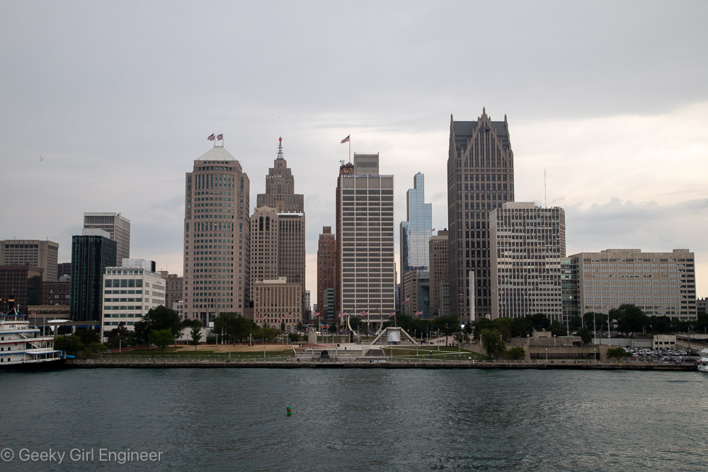
Downtown Detroit
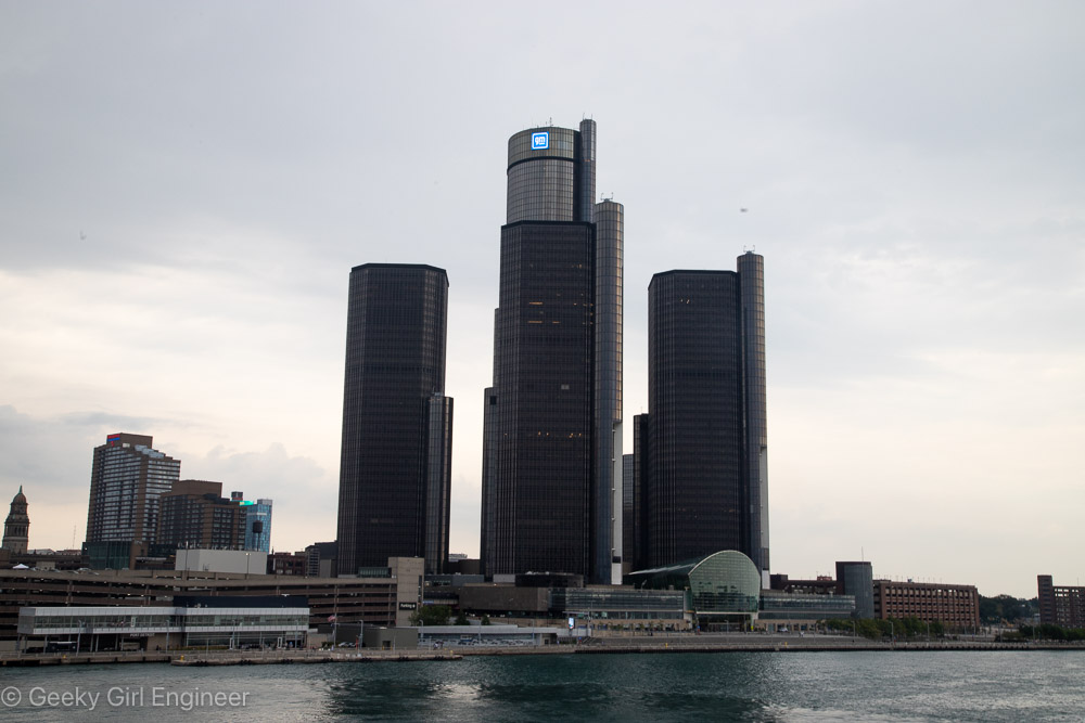
Renaissance Center
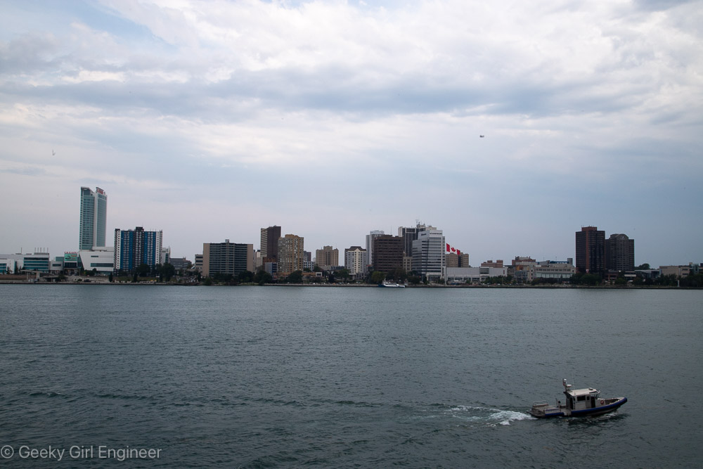
Windsor
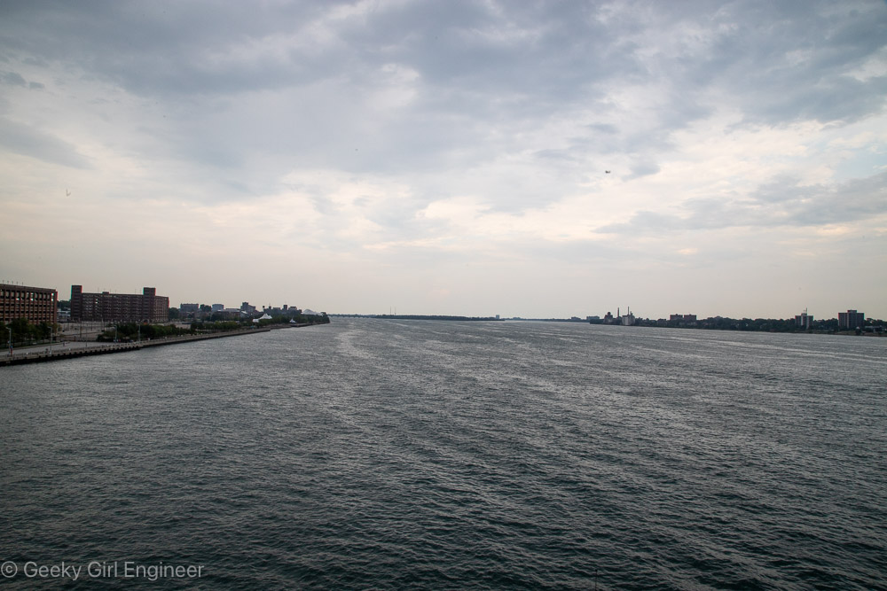
Detroit River looking north from downtown Detroit
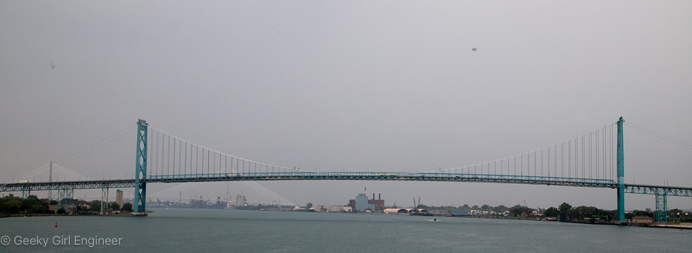
Ambassador Bridge
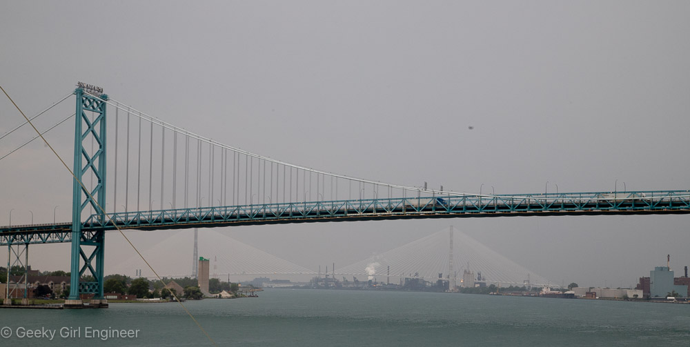
Ambassador Bridge with Gordie Howe International Bridge in background
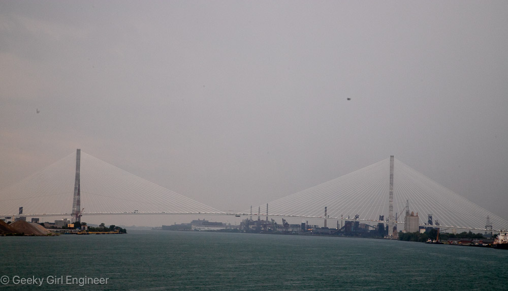
Gordie Howe International Bridge
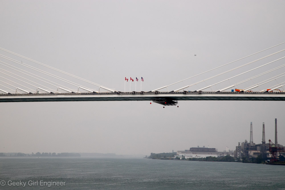
Gordie Howe International Bridge
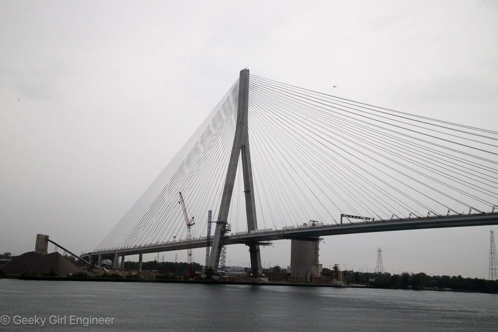
Gordie Howe International Bridge
Parry Sound
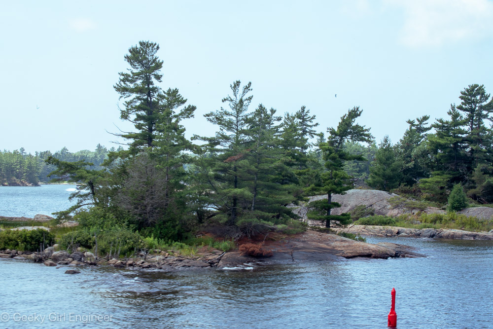
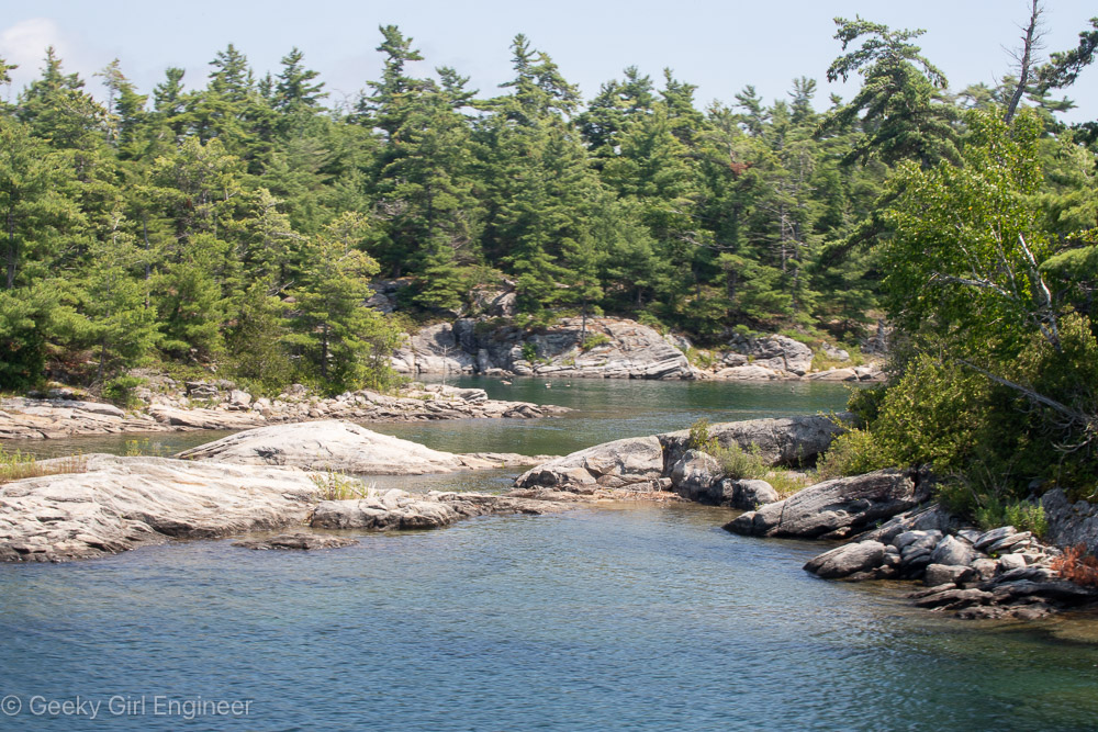
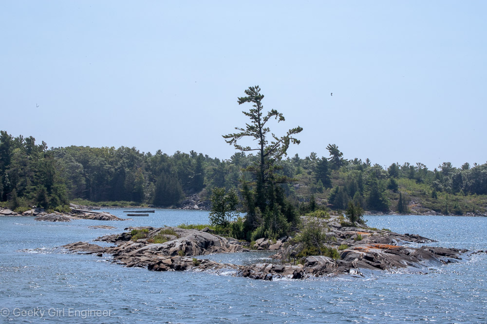
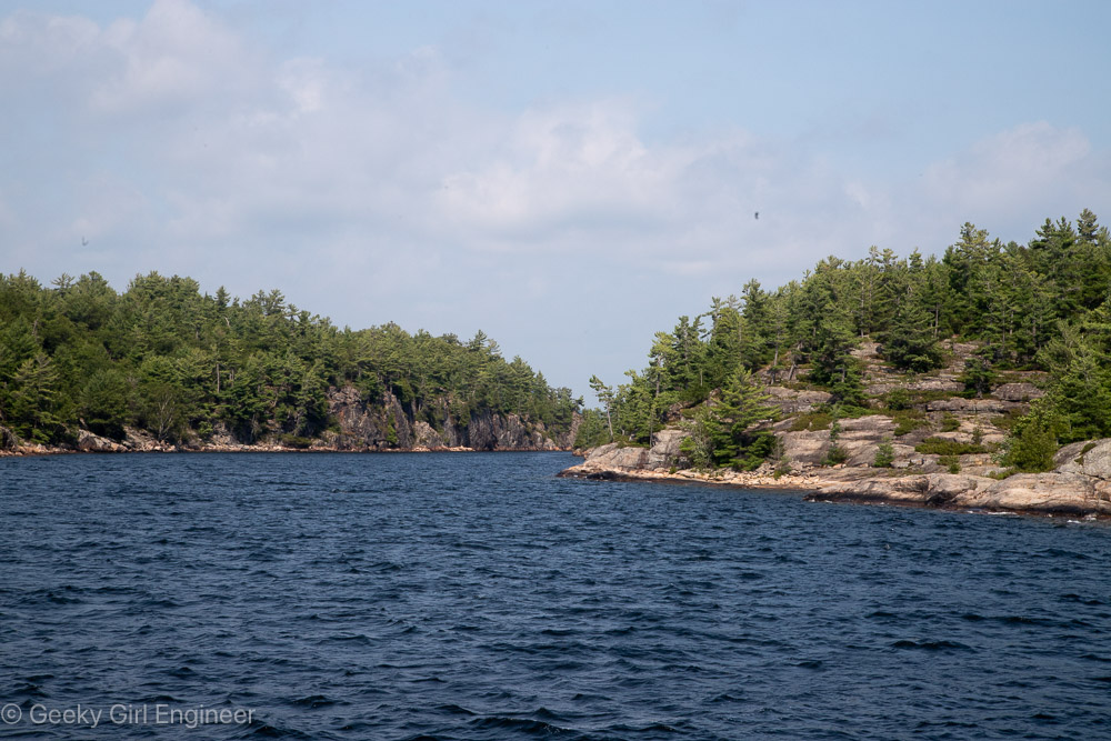
Today, my Great Lakes cruise arrived in Parry Sound. The town of Parry Sound is small, and I did not do too much exploration. However, in the afternoon, I and several passengers went on a three hour cruise of the 30,000 island area as it is called. The cruise looped around Parry Island and along the way went through some ridiculously narrow channels. Words cannot describe the beauty of the area, and I don’t even think my photos below do it justice. The are is simply gorgeous. The islands are part of the Canadian shield and are pure bedrock of what appears to be mainly gneiss. Plants, including conifers, are defiantly growing straight out of the rock. It is simply beautiful.
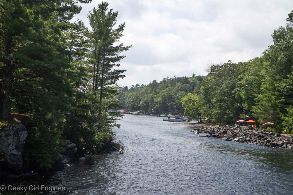
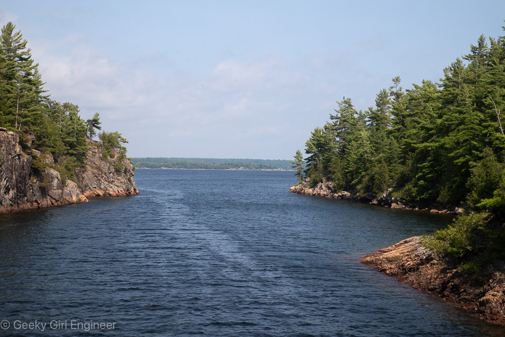
Narrow channel near Rose Point
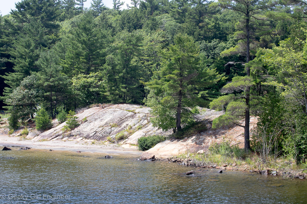
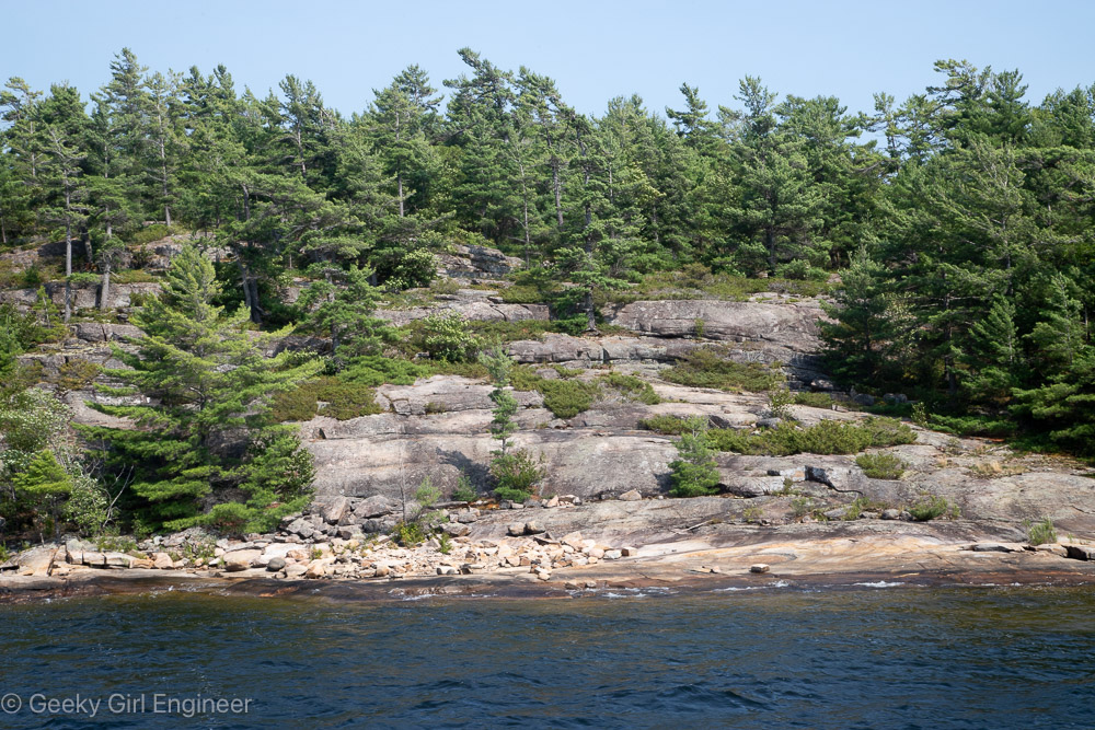
Trees growing out of rock
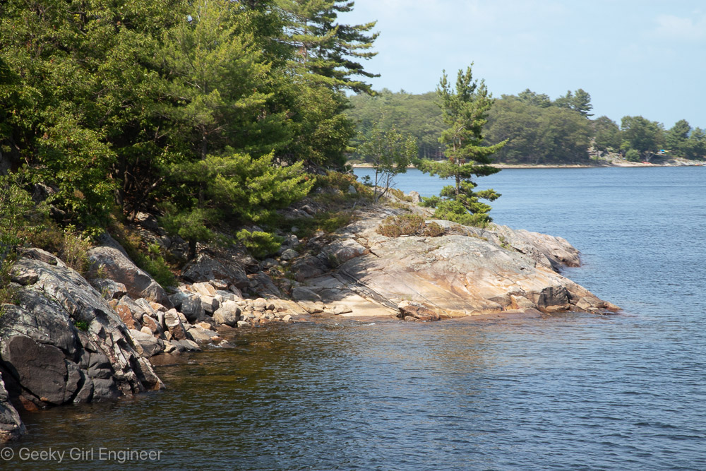
Small islands
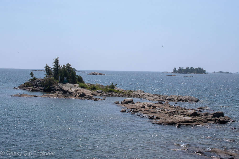
Small islands
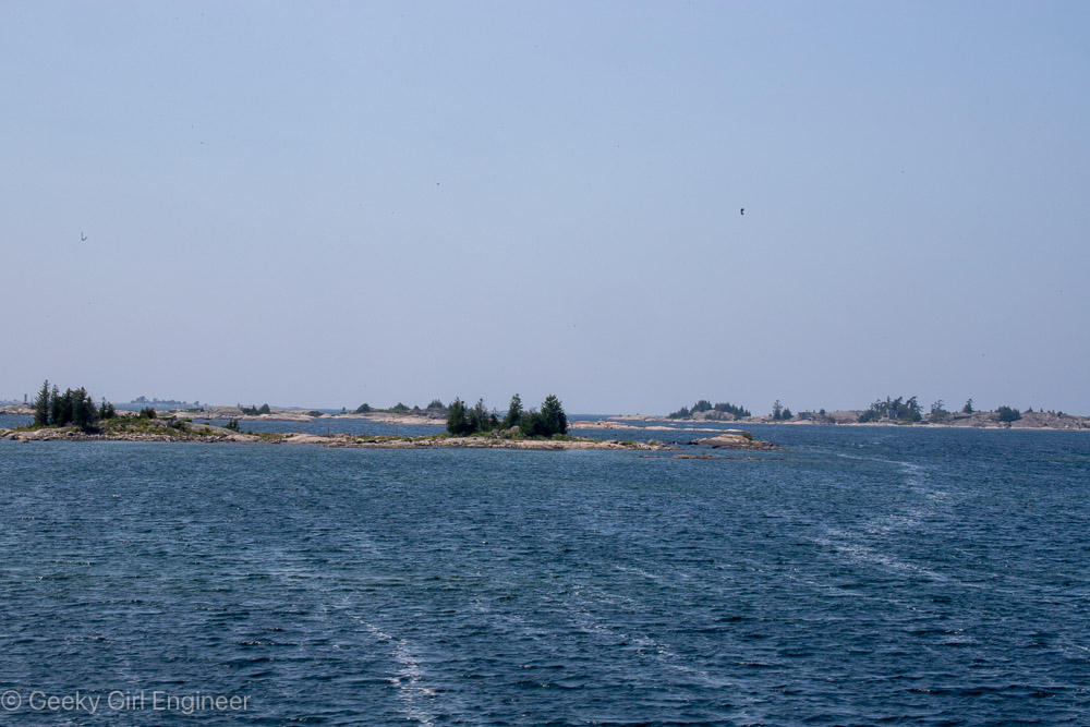
Islands as far as the eye can see
Small inlets
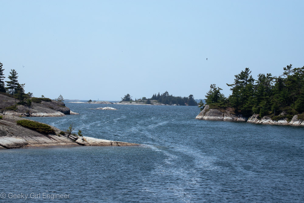
Narrow channel
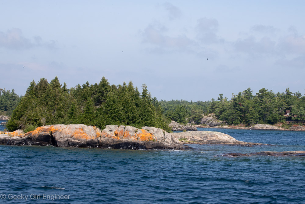
The orange on the rocks is lichen
Small islands
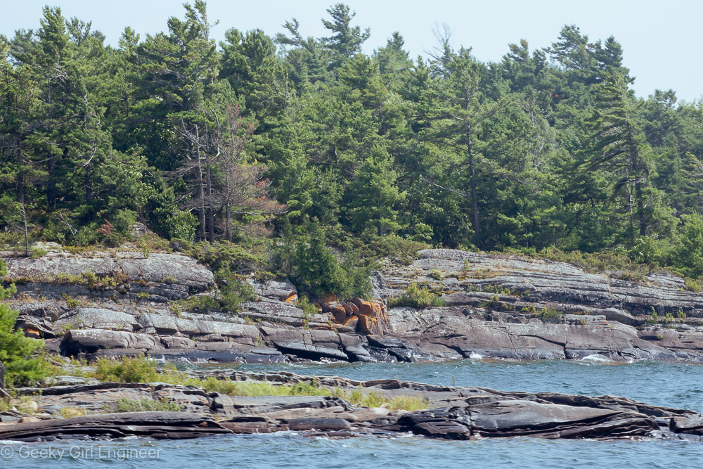
More bedrock
Approaching Hole in the Wall
Side of Hole in the Wall
Cruising through Hole in the Wall
At the exit of Hole in the Wall
Sault Ste. Marie
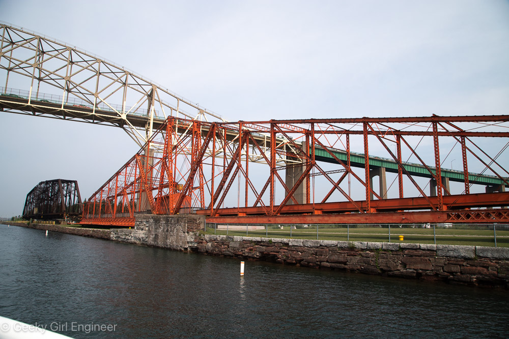
Today our cruise visited Sault Ste. Marie, which is the name of the city on both the Michigan, U.S. side and on the Ontario, Canada side. We docked though on the Canadian side in the St. Mary’s River on the Lake Huron side or elevation. I never actually went into town though. I boarded another boat with many other guests for a lock tour. We sailed through the Canadian lock into the Lake Superior side or elevation then made a giant semicircle to return to the Lake Huron elevation via the MacArthur Lock on the U.S. side. We then sailed downstream a little bit before returning to the dock. It was a really enjoyable cruise, and I always love locks. Besides going through the locks, I enjoyed seeing the steel plant on the Canadian side. I also was fascinated by the Sault Canal Emergency Swing Dam on the Canadian side. I had never heard of such a thing, so I appreciated learned about it.
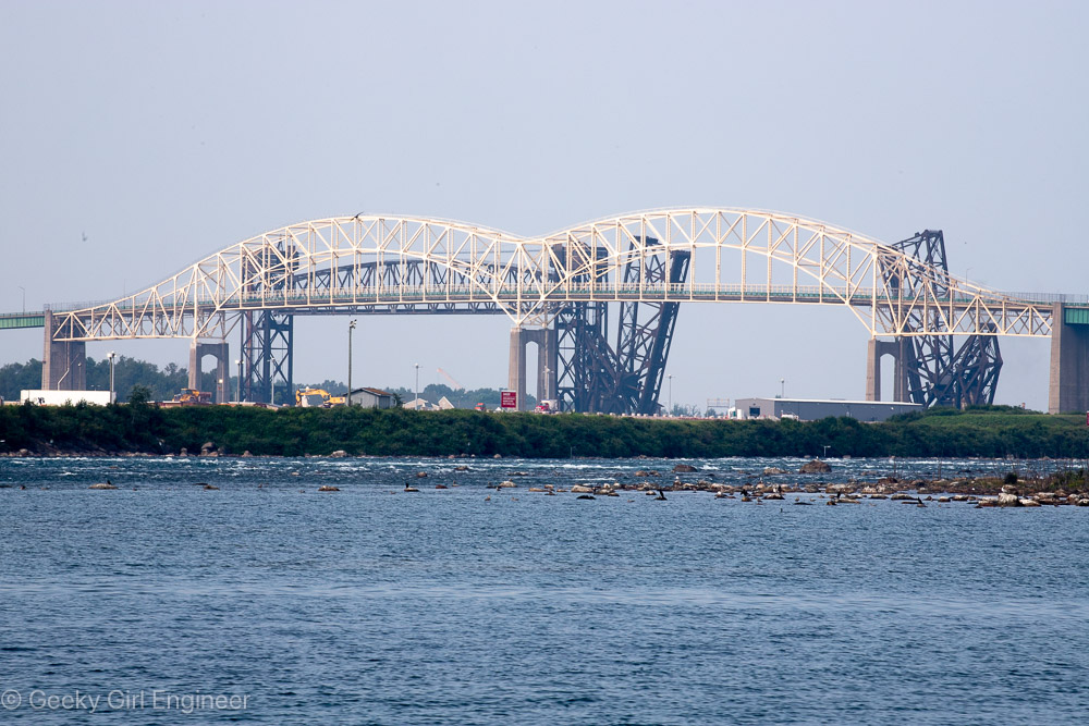
International Bridge with some of the St. Mary’s River rapids in front
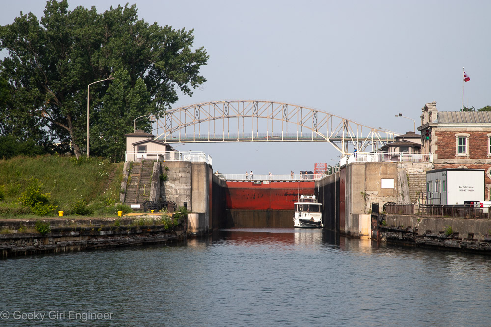
Canadian Lock
Sault Canal Emergency Swing Dam
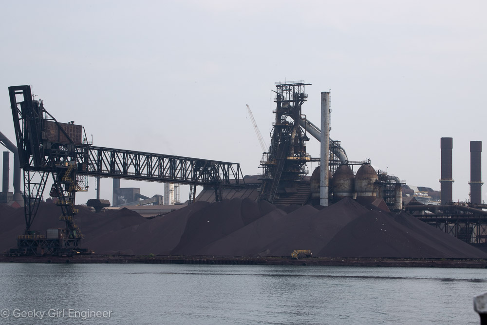
Algoma Steel
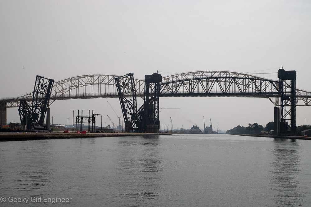
International Bridge and railroad bridge
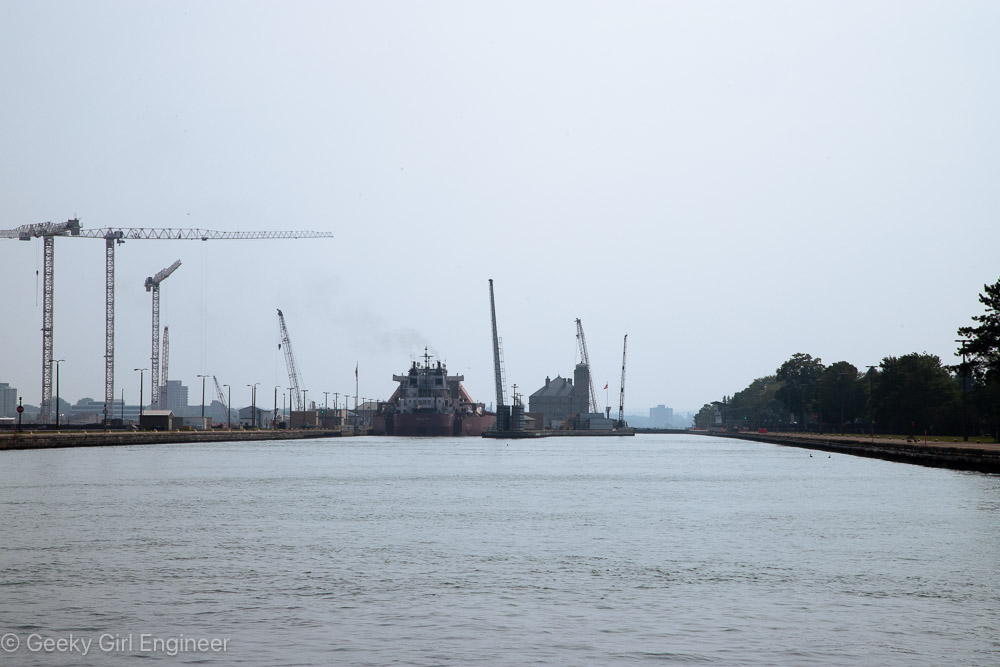
U.S. Lock with construction of new lock visible on left
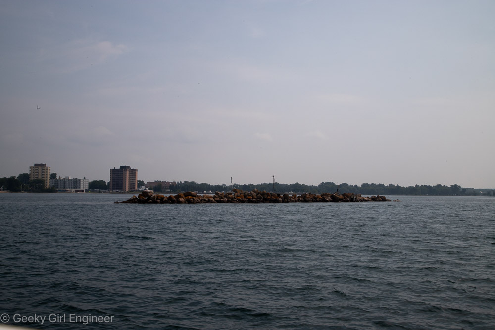
Rock pile indicating Canada/U.S. border in St. Mary’s River
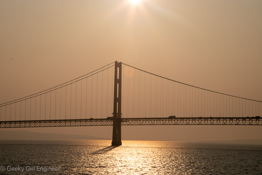
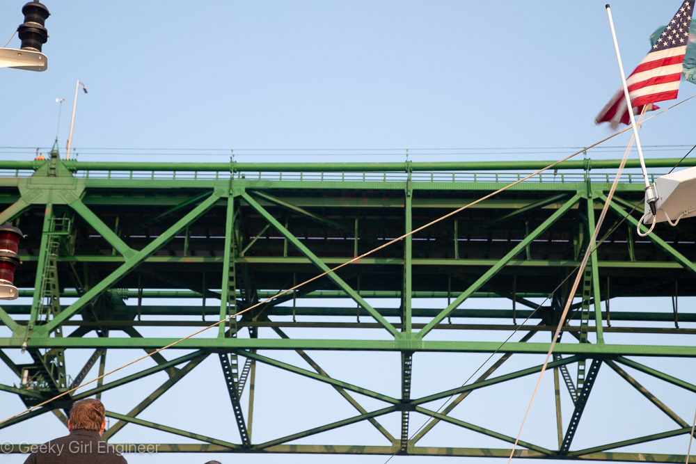
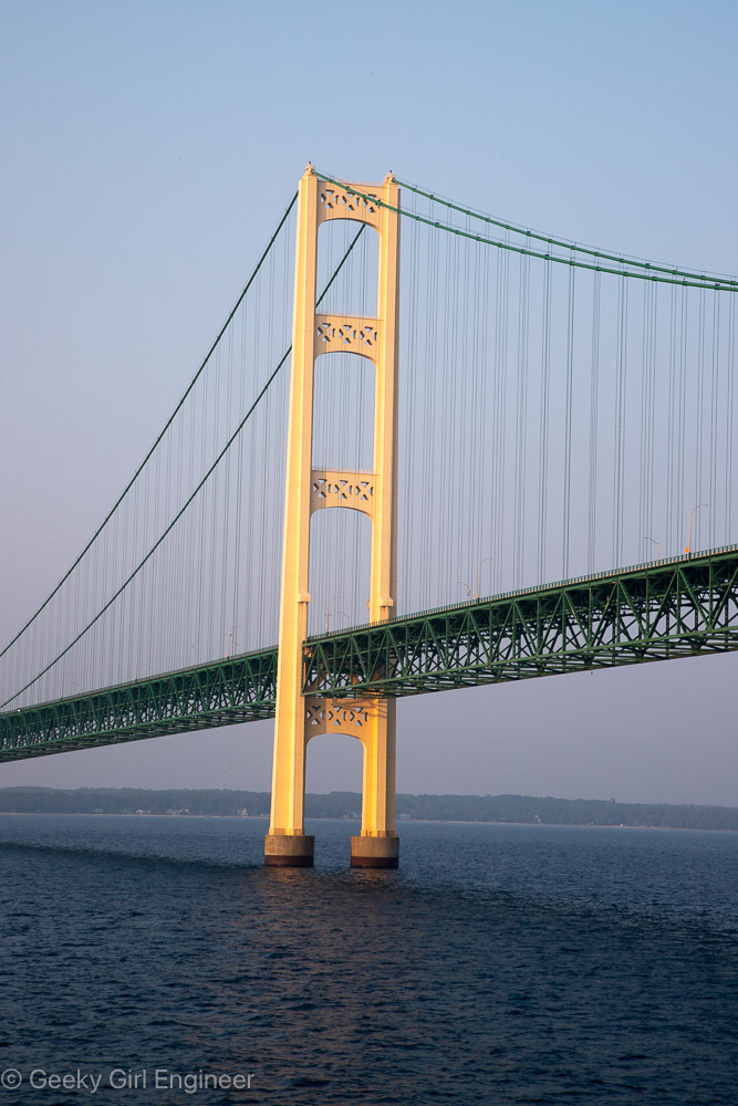
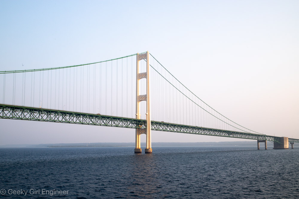
Mackinac Bridge
Today my cruise of the Great Lakes arrived at Mackinac Island. On the way there, shortly after sunrise, we passed under the Mackinac Bridge. It is a gorgeous suspension bridge with green metal work. They clearly do maintenance on it as it was built in 1957, and it looks great. Naturally half the passengers on my cruise were outside on deck to watch us pass under the bridge. I was definitely among them. Below are some photos of the bridge.
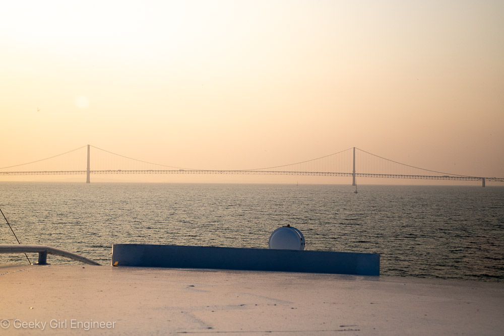
Mackinac Bridge
Mackinac Bridge
Mackinac Bridge
Mackinac Bridge
Mackinac Bridge
Wisconsin
I spent three days in Wisconsin, which is not near enough to really see the state. However, I was able to at least see a little bit of it by exploring outside of Milwaukee where we were staying. We drove to Madison to see the capitol, then further to the Spring Green area, as I had been told that was a nice place to see the Wisconsin River. We took the back roads and had a wonderful time driving through the small towns and seeing the rural areas. We also drove northeast to Sturgeon Bay, which is a lovely little town. I would have loved more time to go even further north and explore Door County, but we just didn’t have the time. We again took the back roads and saw the rural areas. Wisconsin really has some lovely areas to explore.
Milwaukee River on the north side of Milwaukee
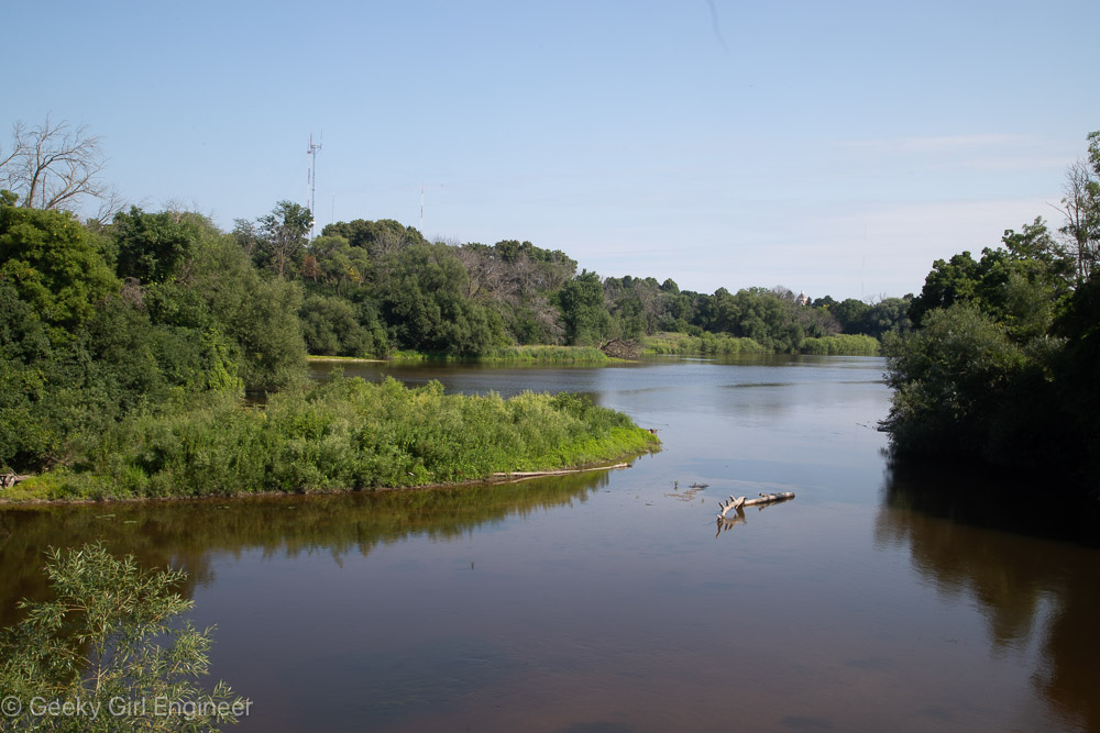
Wisconsin River near Spring Green
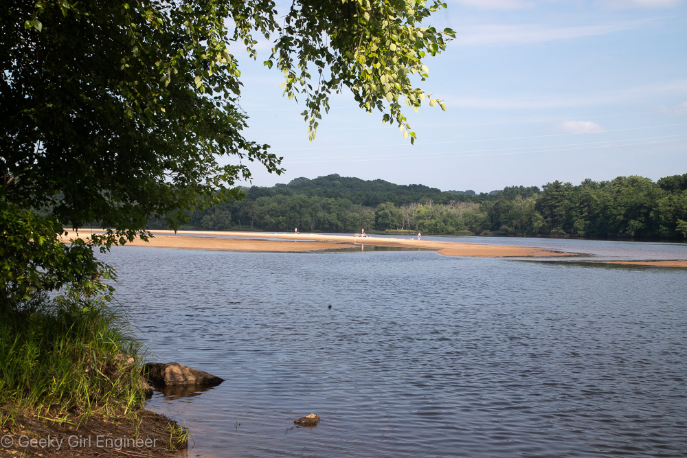
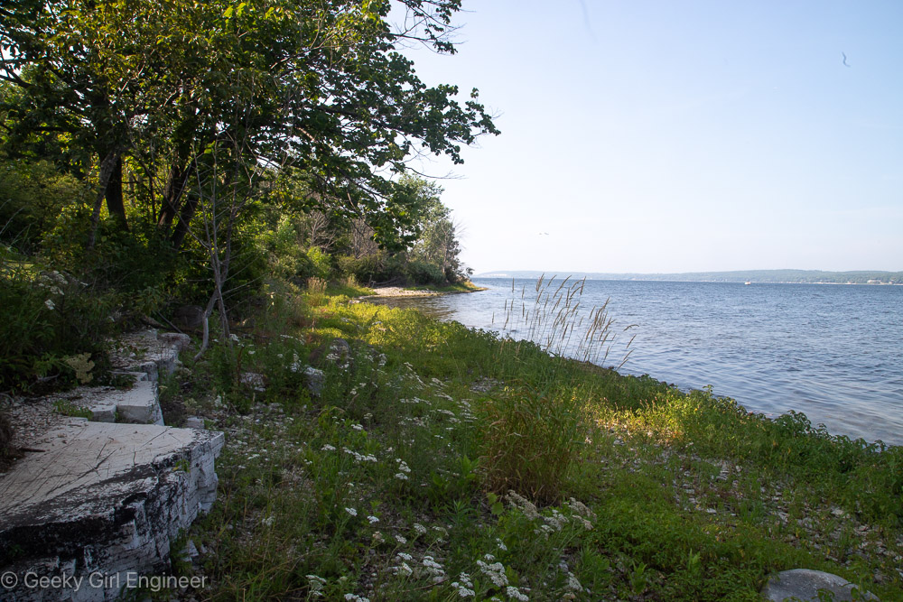
Lake Michigan near Sturgeon Bay Ship Canal
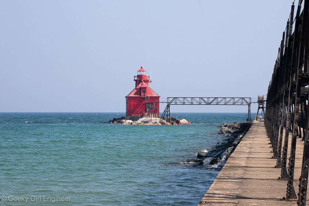
Sturgeon Bay Ship Canal Pierhead Front Lighthouse
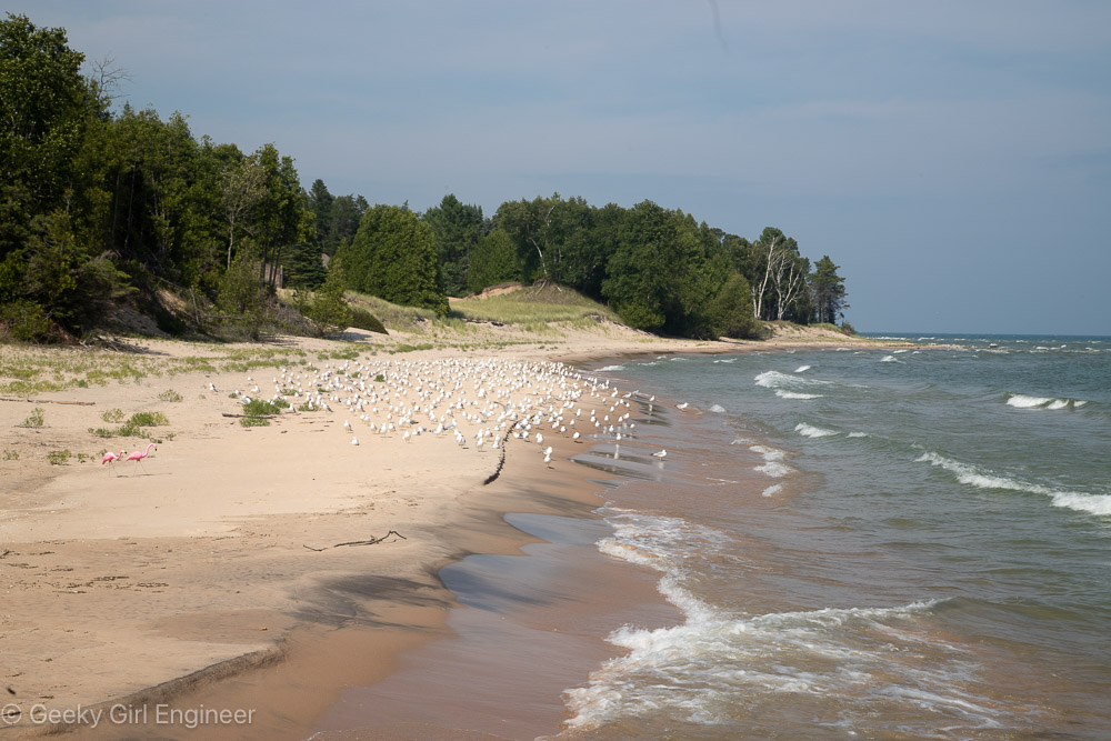
Potawatomi State Park
Multnomah Falls
I visited Multnomah Falls today while on a cruise of the Snake and Columbia Rivers. I have seen this waterfall in I don’t know how many pictures because it is rather photogenic, especially with the foot bridge that crosses in front of the upper portion of it. The area around the falls are rather pretty and what most people generally think of with the northwest. It is a 0.2 mile hike up from the first viewing area to the footbridge and not too bad of a hike.
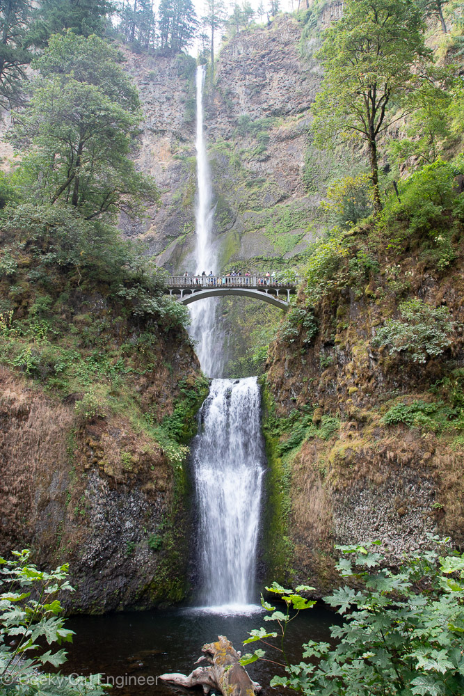
Classic photo of Multnomah Falls with the footbridge across it in frame
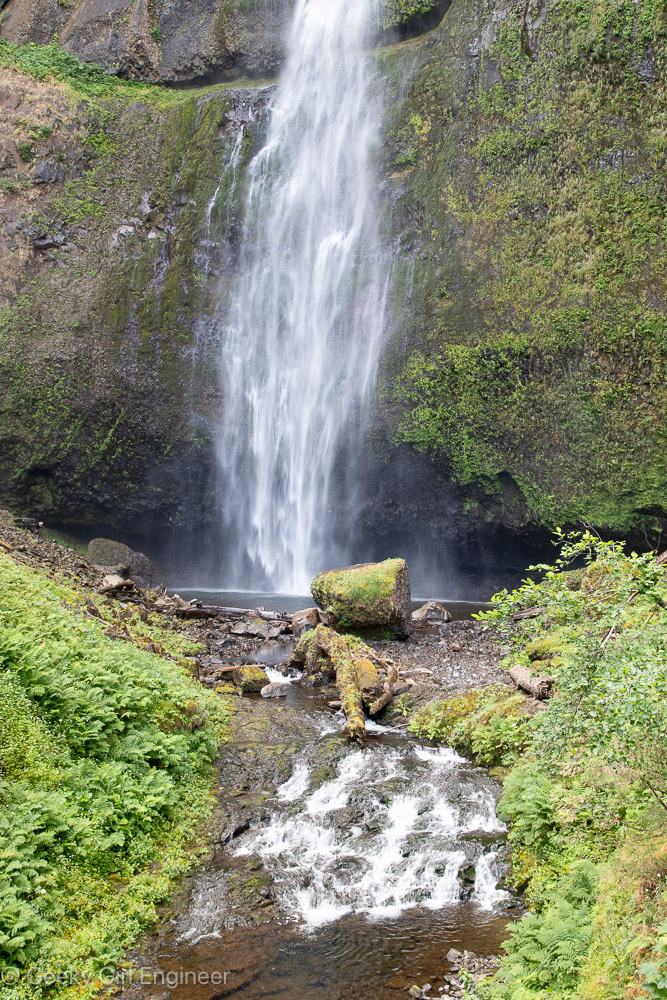
Pool at upper portion
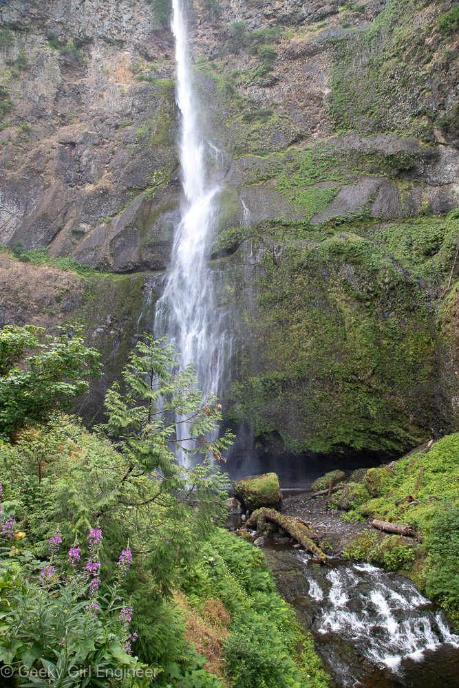
Upper falls
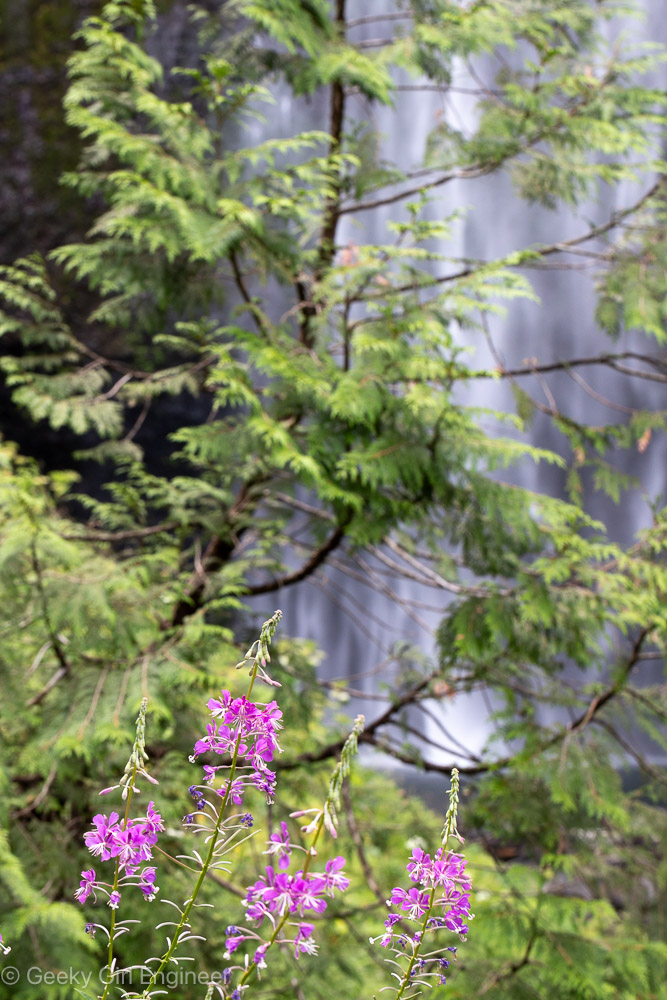
Fireweed near falls
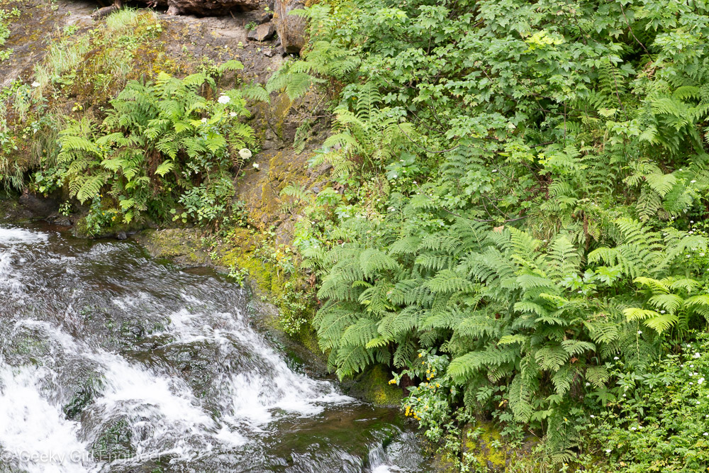
Short stream between upper and lower waterfalls
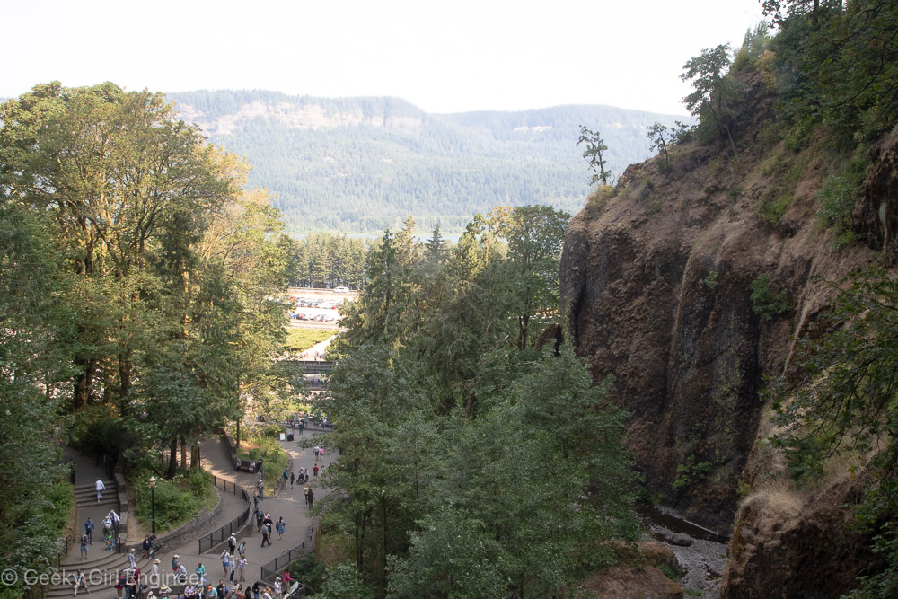
View from pedestrian bridge of creek fall terminates into and viewing platform with Columbia River in background
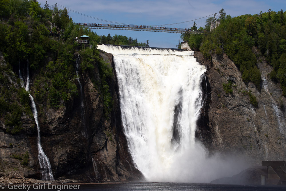
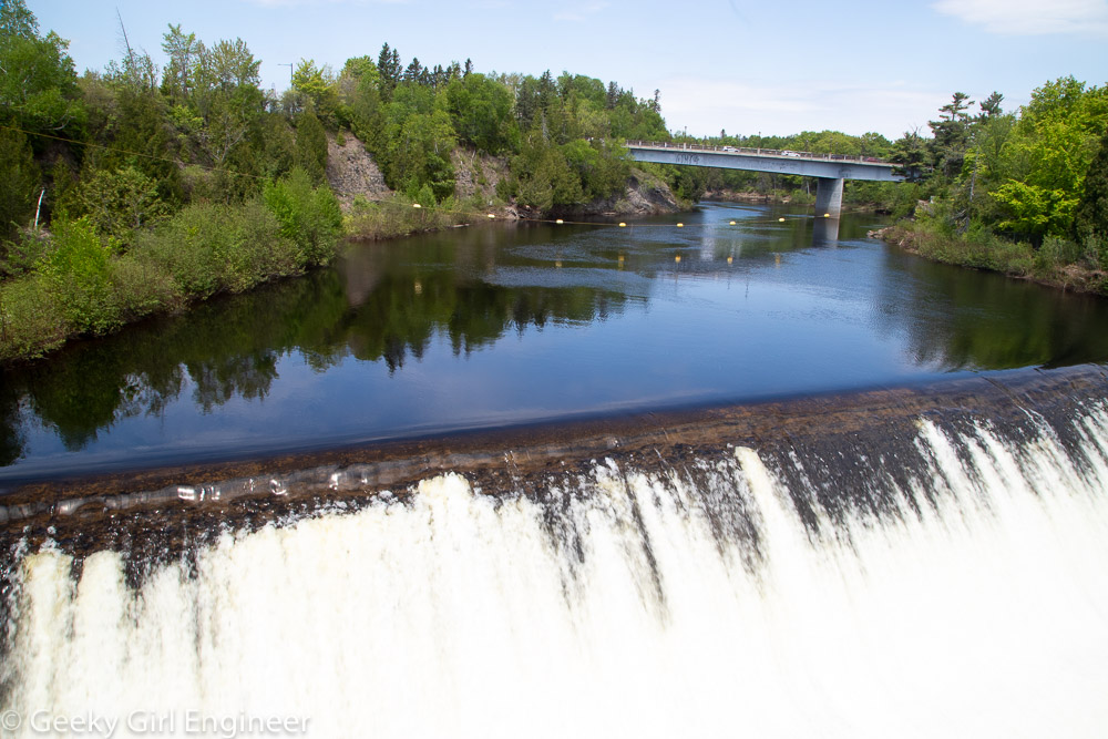
Montmorency Falls
Just outside of Old Quebec City, (as in 15 minutes by car or 40 minutes by public bus), is Montmorency Falls, or Chute Montmorency, which I prefer. The falls are beautiful, and there is a park around it. There is a pedestrian bridge across the top of the falls, and a cable car from the top to the bottom. There are boardwalks at the bottom, and they appear to be building more or possibly renovating the old ones, as currently you can only access one side plus a boardwalk across the river at the base of the falls.
View of the falls from the boardwalk across the river flowing from the falls
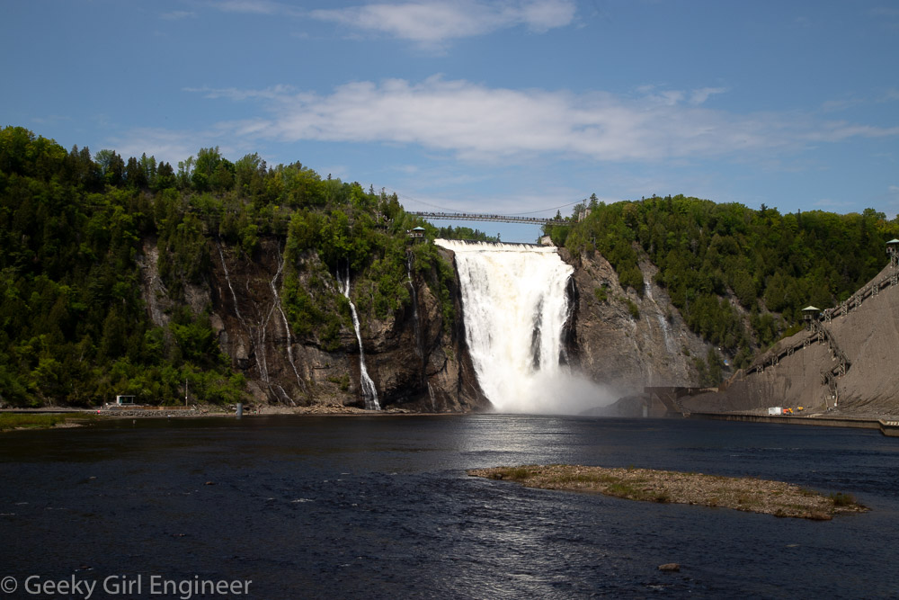
View of the falls from the boardwalk across the river flowing from the falls
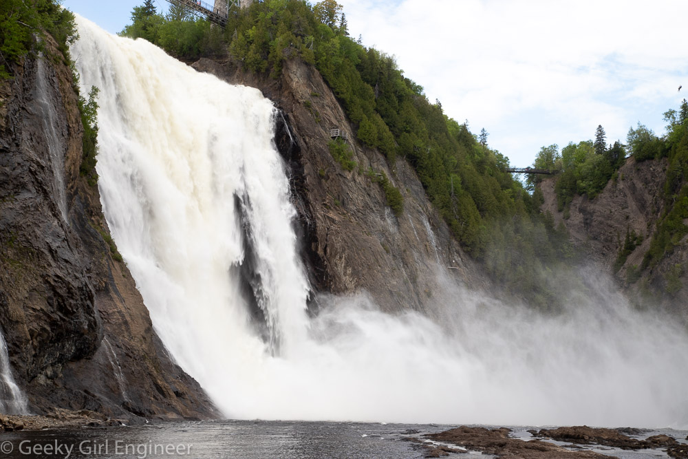
View of falls from boardwalk near base of falls
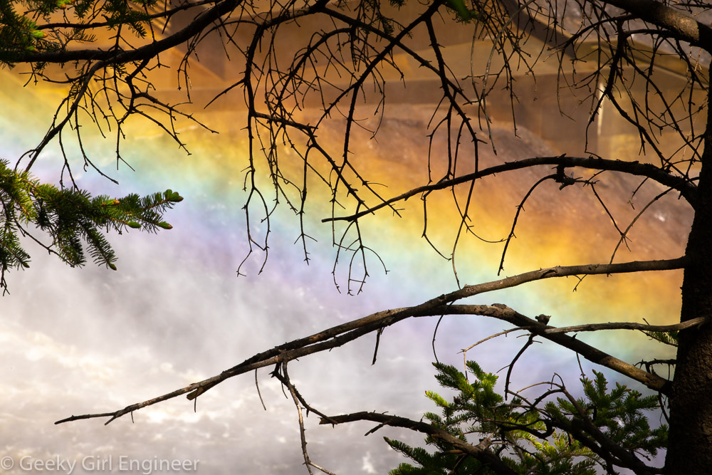
Rainbow formed in mist at base of falls, photo taken from observation walk near top of the falls
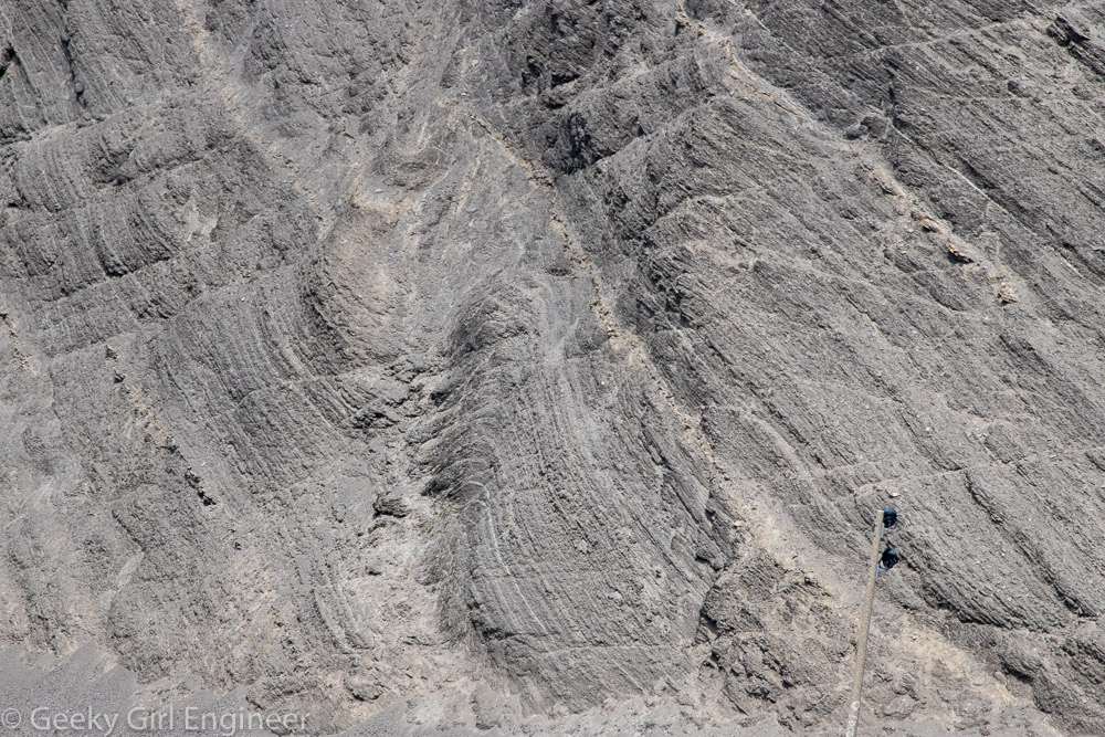
Closeup of east side of falls showing geological layers and folding
Crossing pedestrian bridge above falls
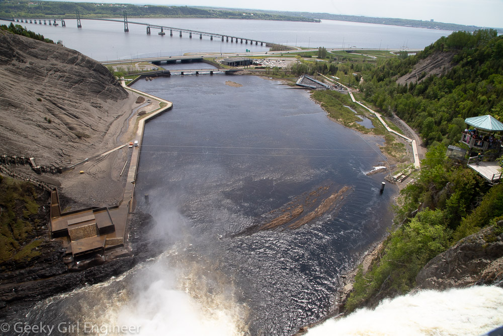
Crossing pedestrian bridge above falls; downstream and outflow into St. Lawrence River
Québec City Sightseeing Cruise
Québec City (Ville de Québec) sits on the St. Lawrence River, which is (surprisingly to me) a huge river. A company offers short sightseeing cruises along the river that go as far as the bridge to Orleans Island (l’Ile d’Orleans). Right where the boat turns around, you can get pretty good views of Montmorency Falls (la chute Montmorency). [My knowledge of French is pretty much limited to words from ballet and Louisiana and words that are similar to my rudimentary Spanish and Latin knowledge. I am starting to enjoy specific French words like “chute.”] The cruise also provided lovely views of the port of Québec City (Port de Québec), l’Ile d’Orleans, and Lévis, which is across the river from Québec.
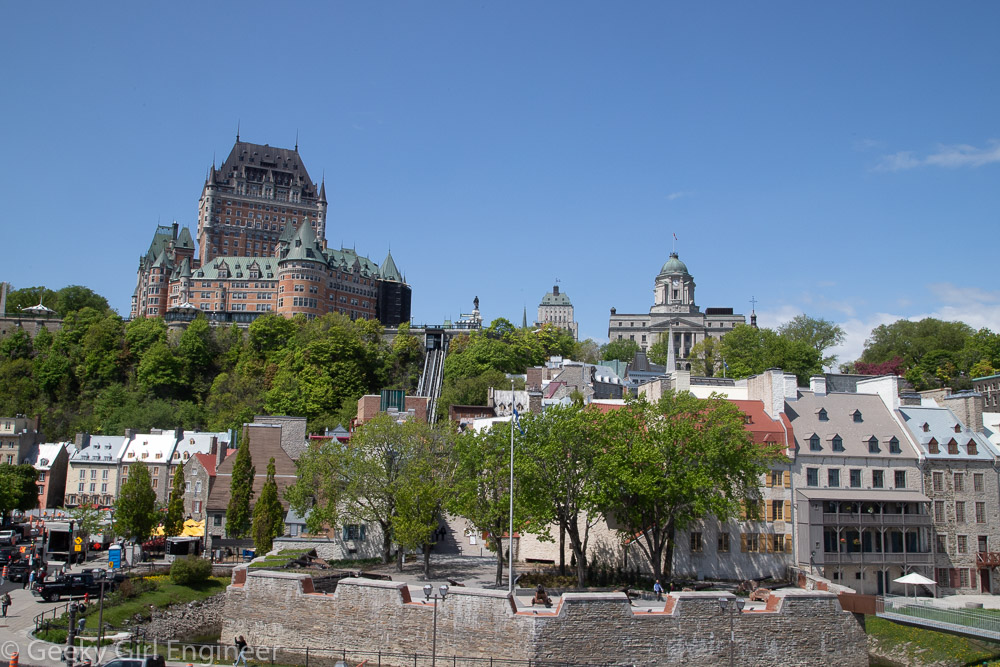
Royal Battery and old Quebec
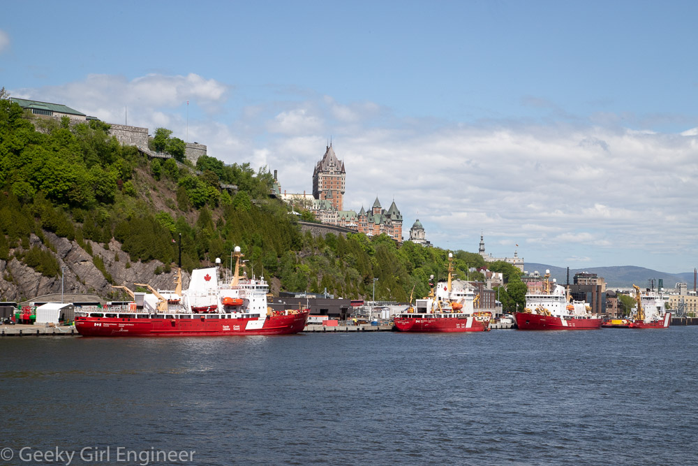
Canada Coast Guard ice breakers
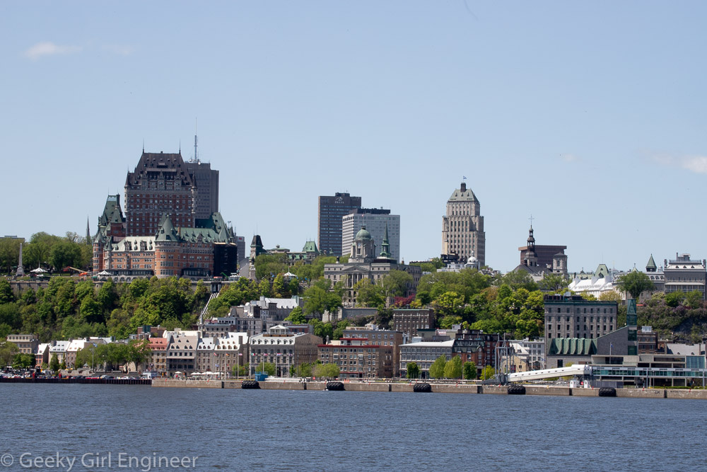
old Quebec City
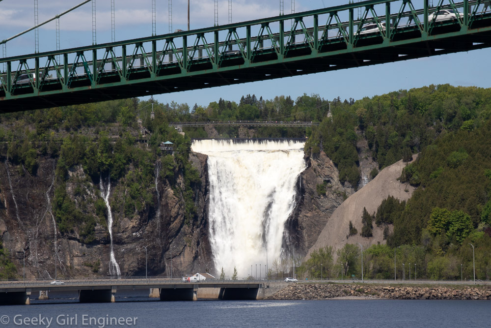
Montmorency Falls
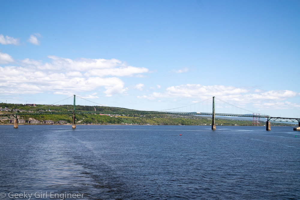
Orleans Island bridge
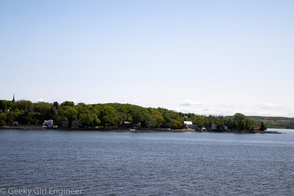
Orleans Island
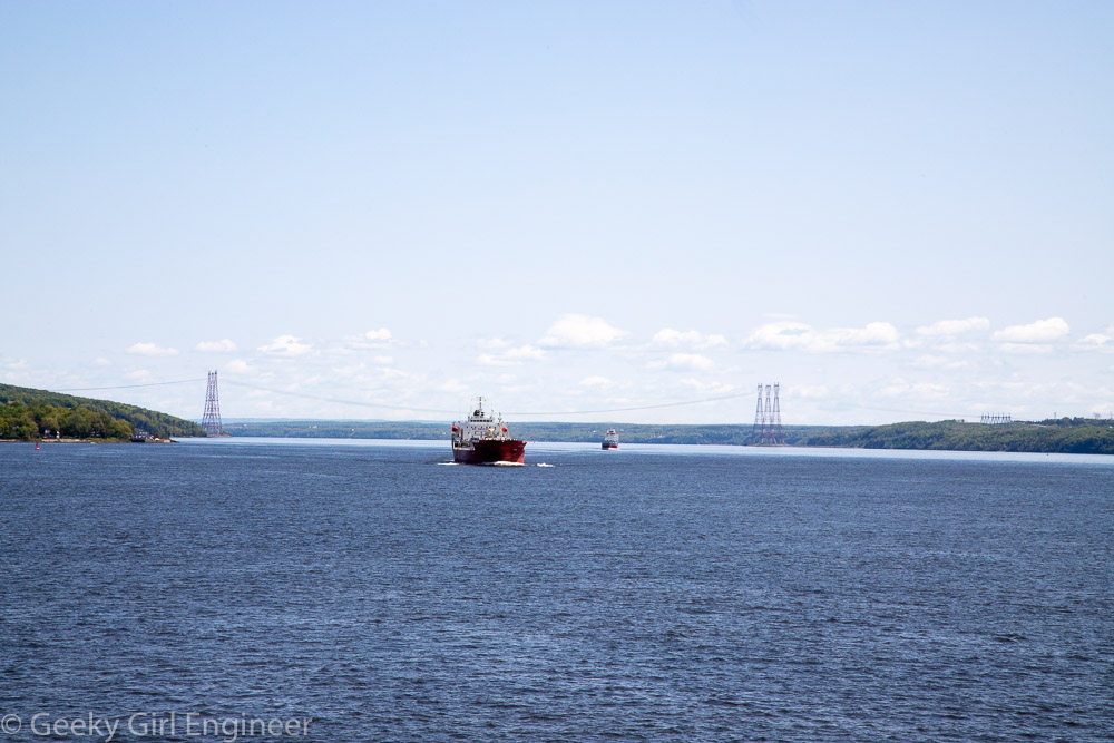
Large ships headed west on the St. Lawrence River
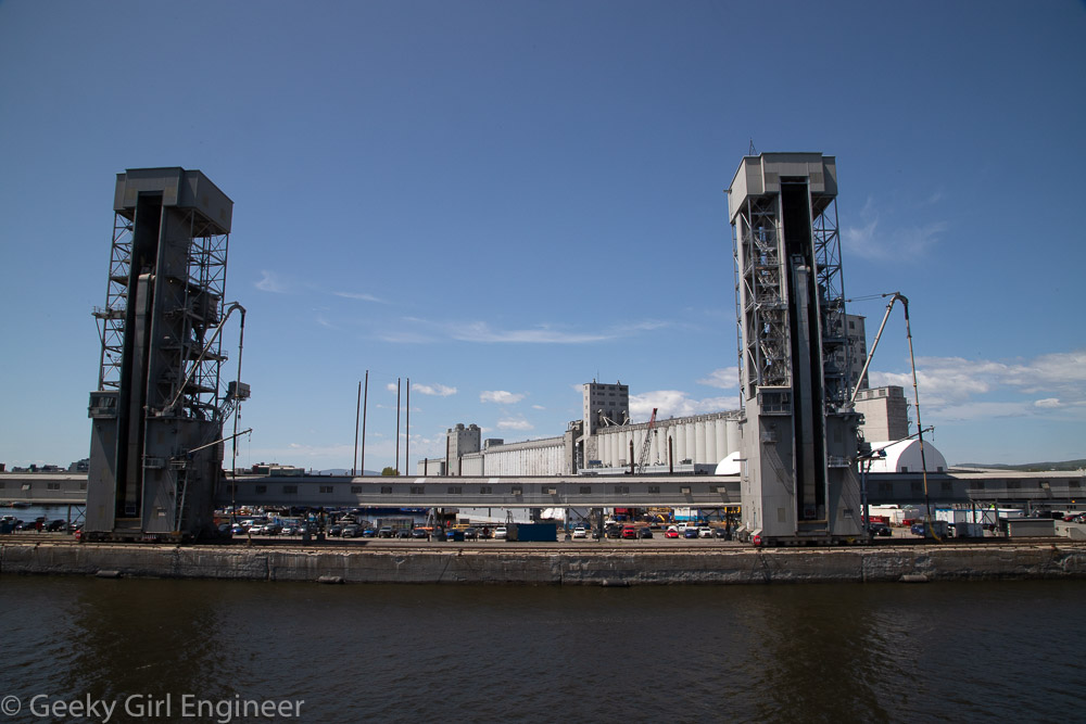
Port of Quebec
Historic Richmond Town, Staten Island
Last week, I went for a guided walk with NYC H2O of historic Richmond Town, Staten Island to hear about the history there, in particular how the water affected the history. Historic Richmond Town is a neat little area as it is a park of historic buildings. If I read the information correctly, some of them were moved there to be part of the preservation area. There is a mill there that operated off the creek that runs by the area. Nearby and also part of our walk is Brookfield Park, which is a former landfill. From an environmental engineering perspective, it is nice to see what the landfill has become. Although it is not clear if remediation is ongoing, as the landfill was rather old, so it is not clear what engineering, if any, went into it.
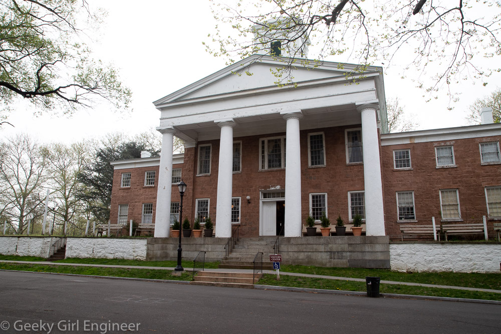
Third County Courthouse
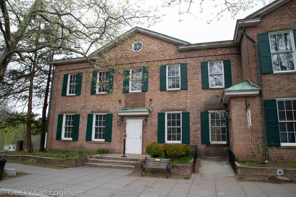
Former County Clerk’s and Surrogate’s Office

Tin Shop
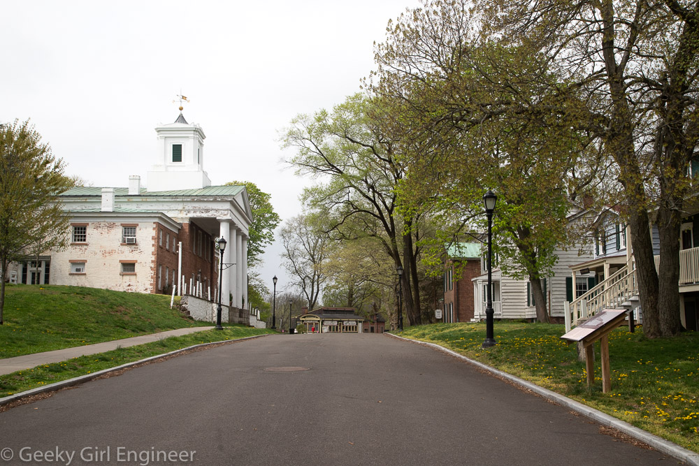
Historic Richmond Town
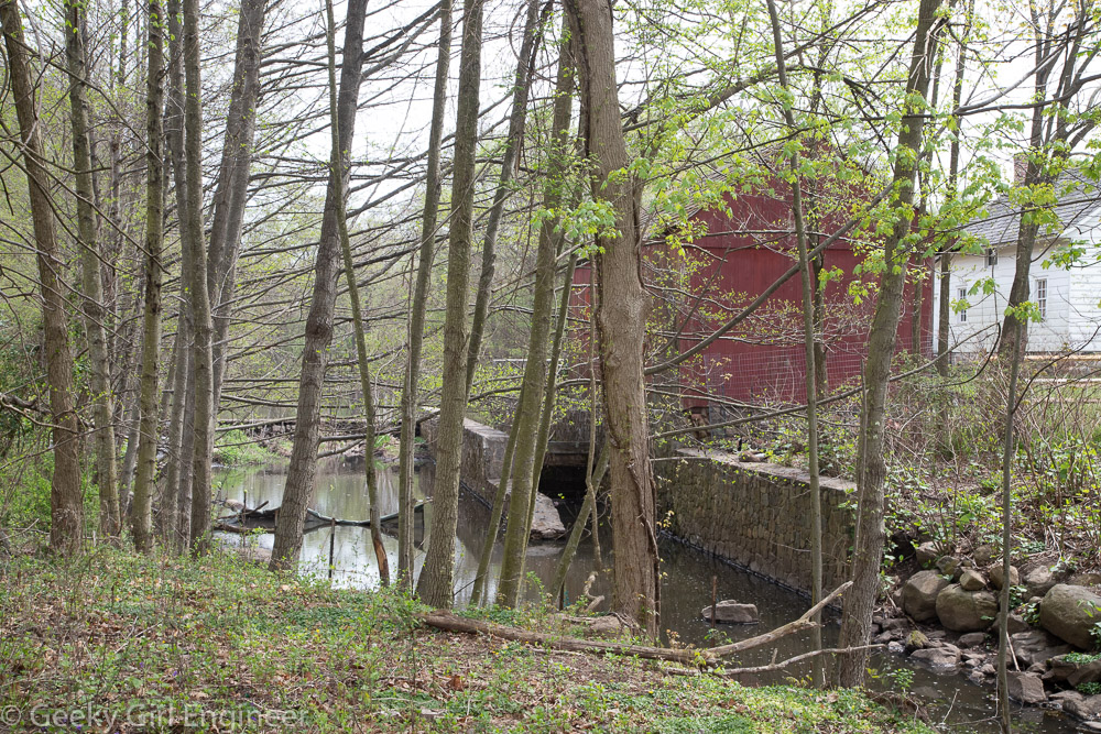
Old Mill
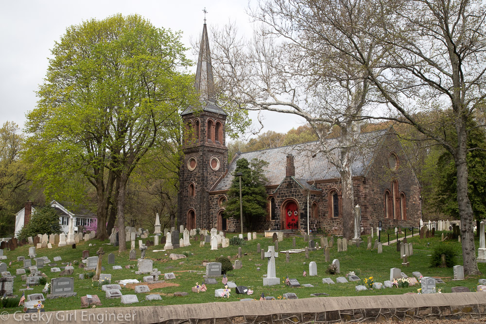
St. Andrew’s Church

Brookfield Park
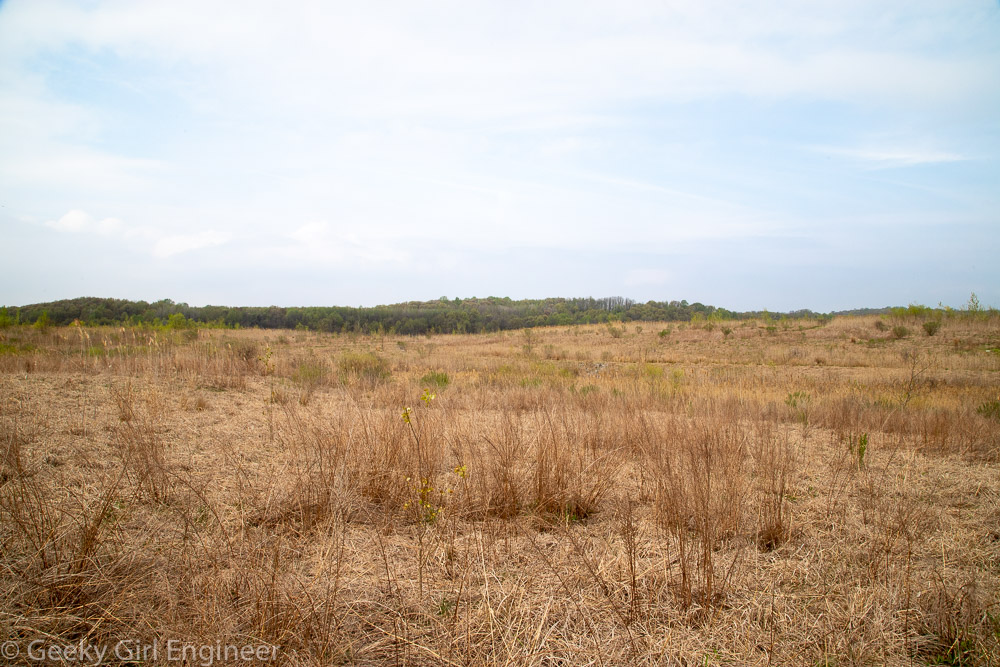
Brookfield Park