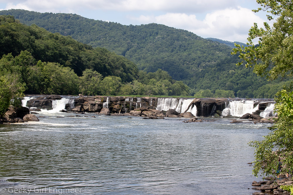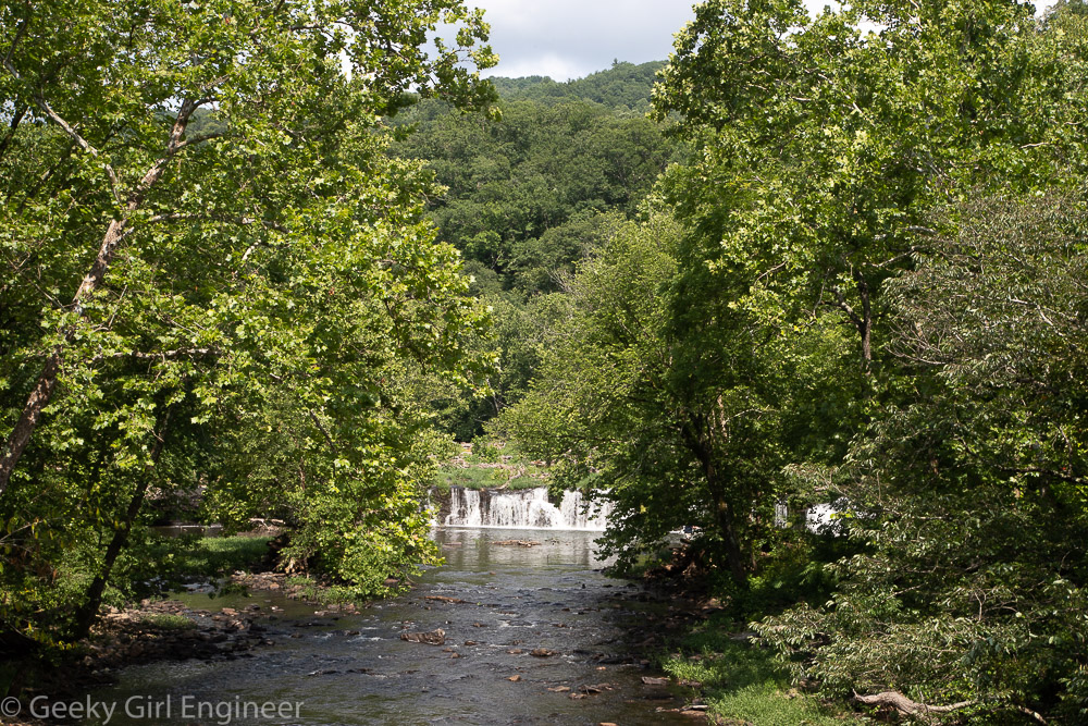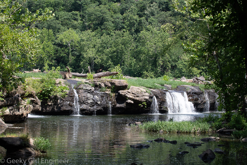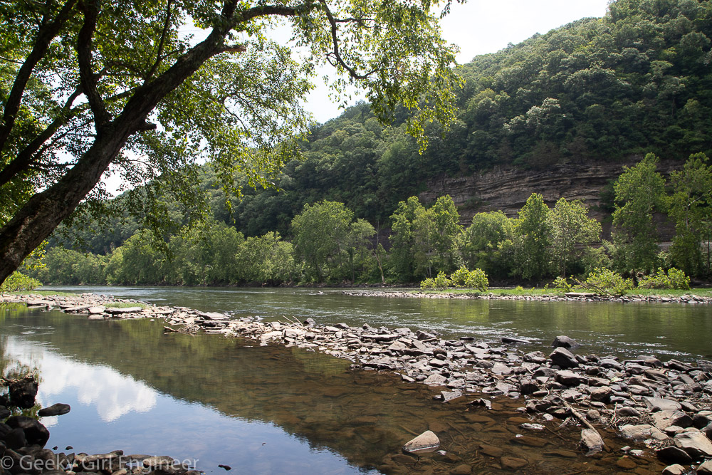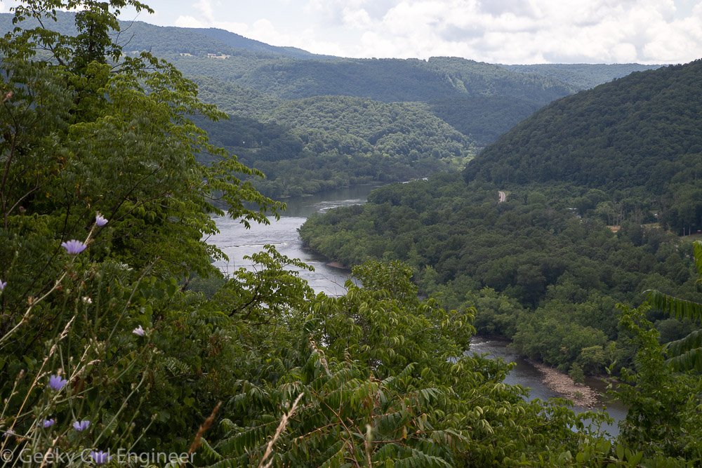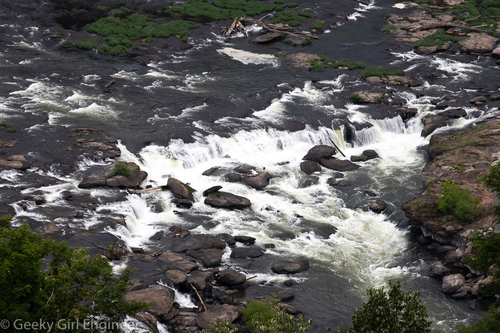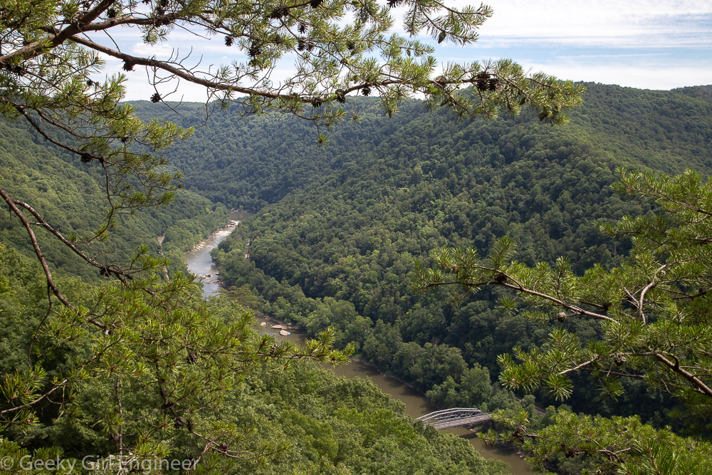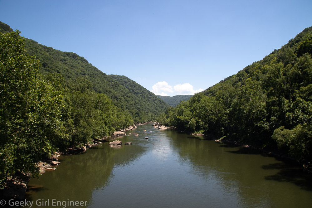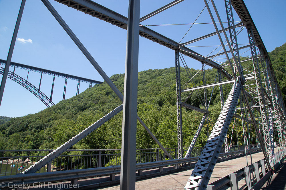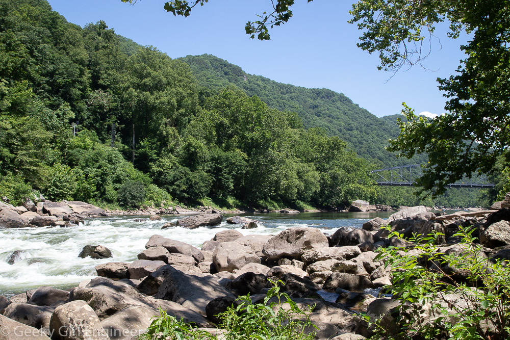
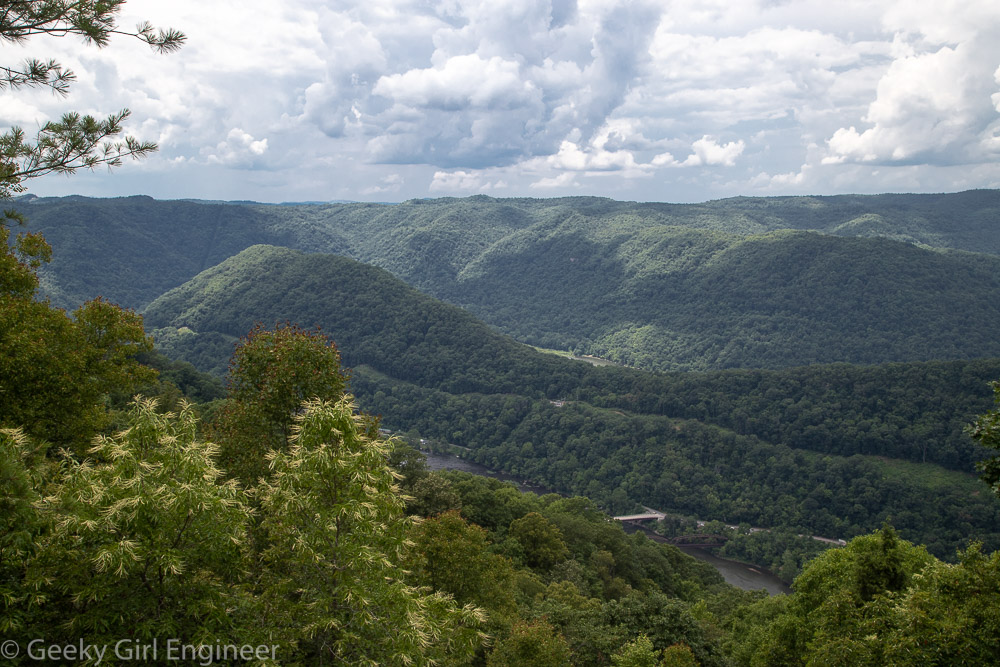
Yesterday I went quite the hike within New River Gorge National park, and it was more of a hike that I thought it would be. I went to the Grandview area, and I hiked along the Grandview Rim trail. The trail is one way, so for the leg of the hike walking towards Turkey Spur, the end of the trail, I took the Castle Rock trail, which parallels the Rim trail for the first half mile. Castle Rock trail is gorgeous, and it takes you just below a wall of rock. At one portion of the trail, the wall of rock has a visible coal seam, which is extra interesting. However the footing on the Castle Rock trail is not even, and there is lots of ascents and descents, so it is a good workout. The rest of the trail, once back on the Rim trail is fairly easy going, especially compared to the Castle Rock trail. The start of the trail is the main overlook, which overlooks a bend in the New River, so you are viewing it from the base of a U shape. The end of the trail is Turkey Spur, which also overlooks the river, but at a location where in the foreground you see the river headed to the west, where it curves, then behind a hill, you can see the river looping around again and headed east.
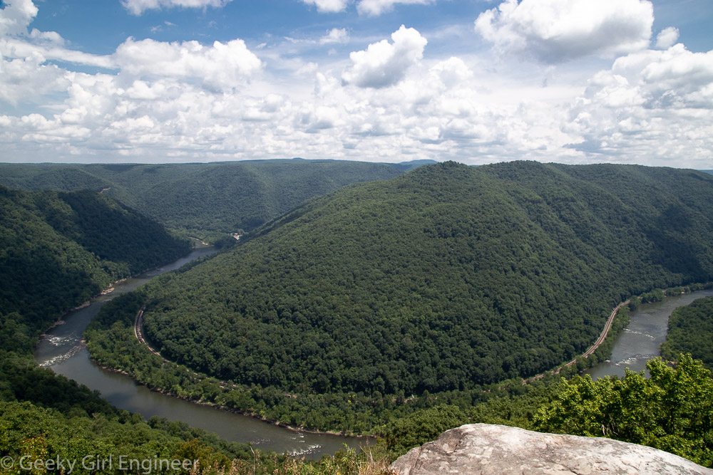
Main overlook of New River
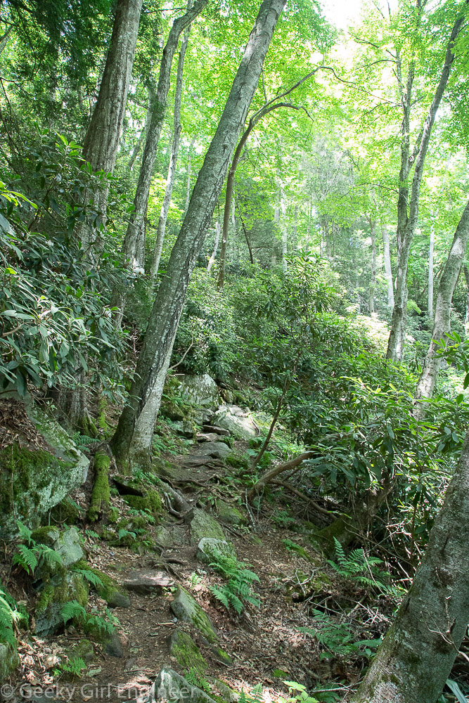
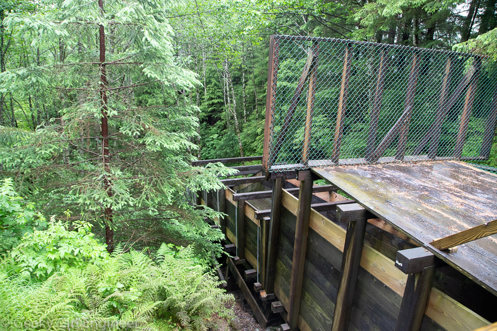
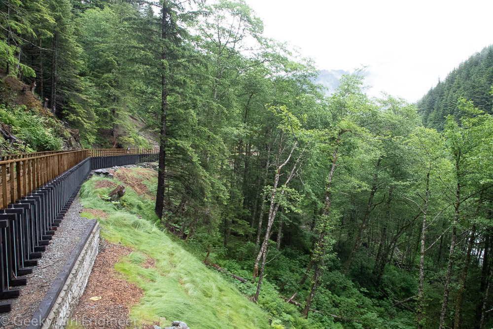
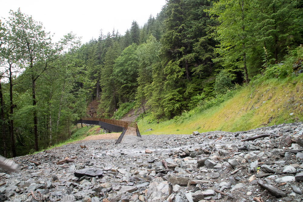
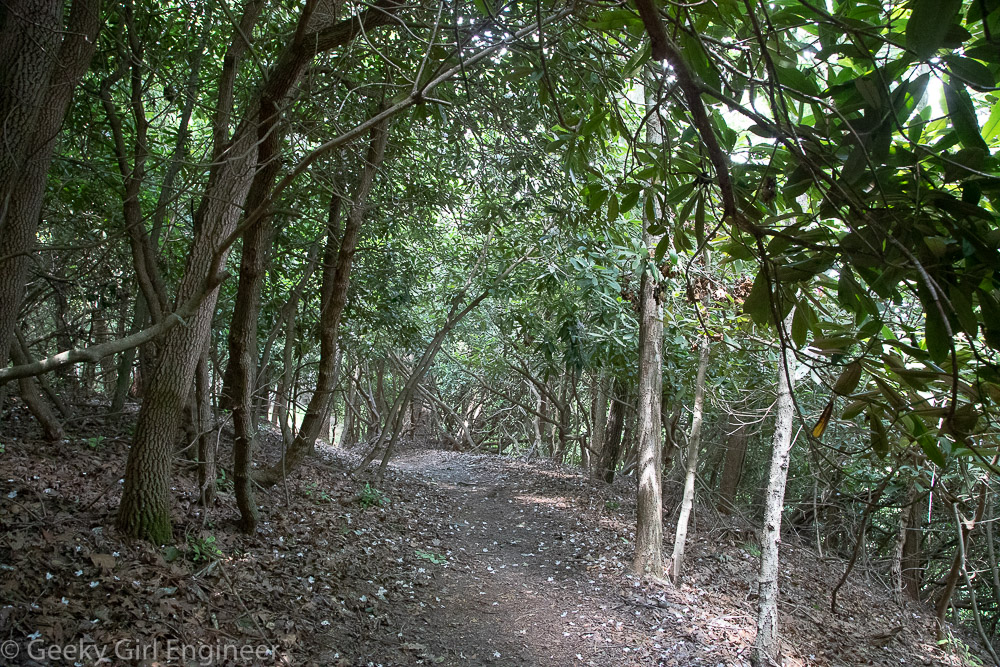
Castle Rock trail
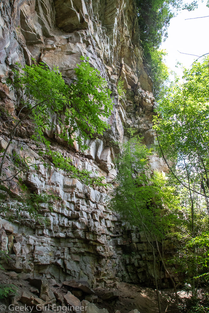
Castle Rock trail
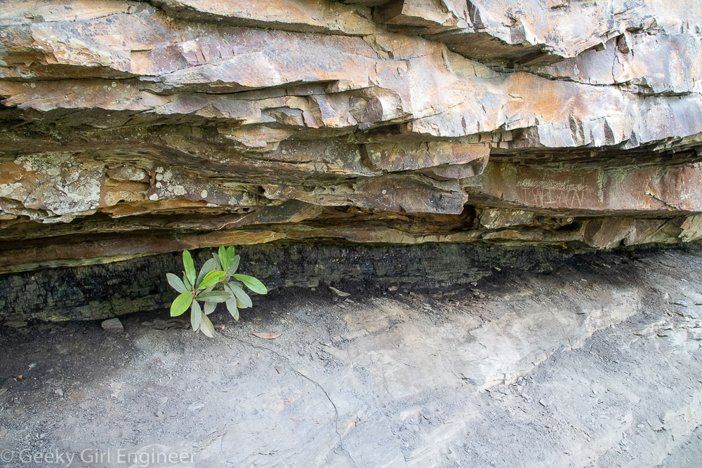
Rhododendron growing in coal seam along Castle Rock trail
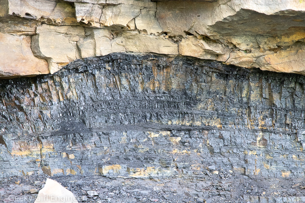
Coal seam along Castle Rock trail
Grandview Rim trail
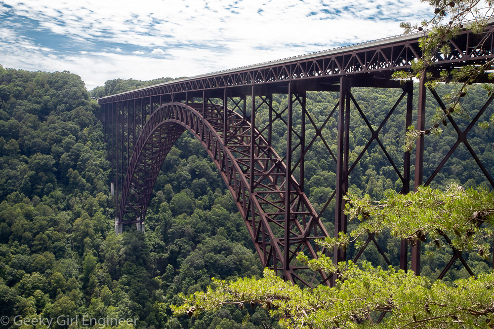
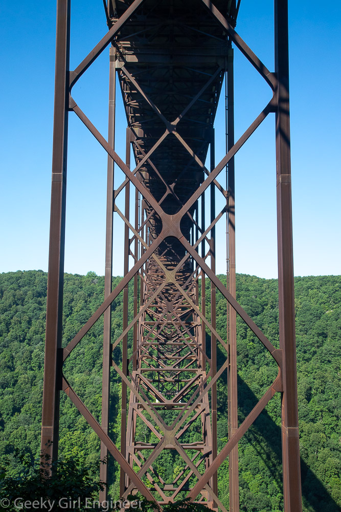
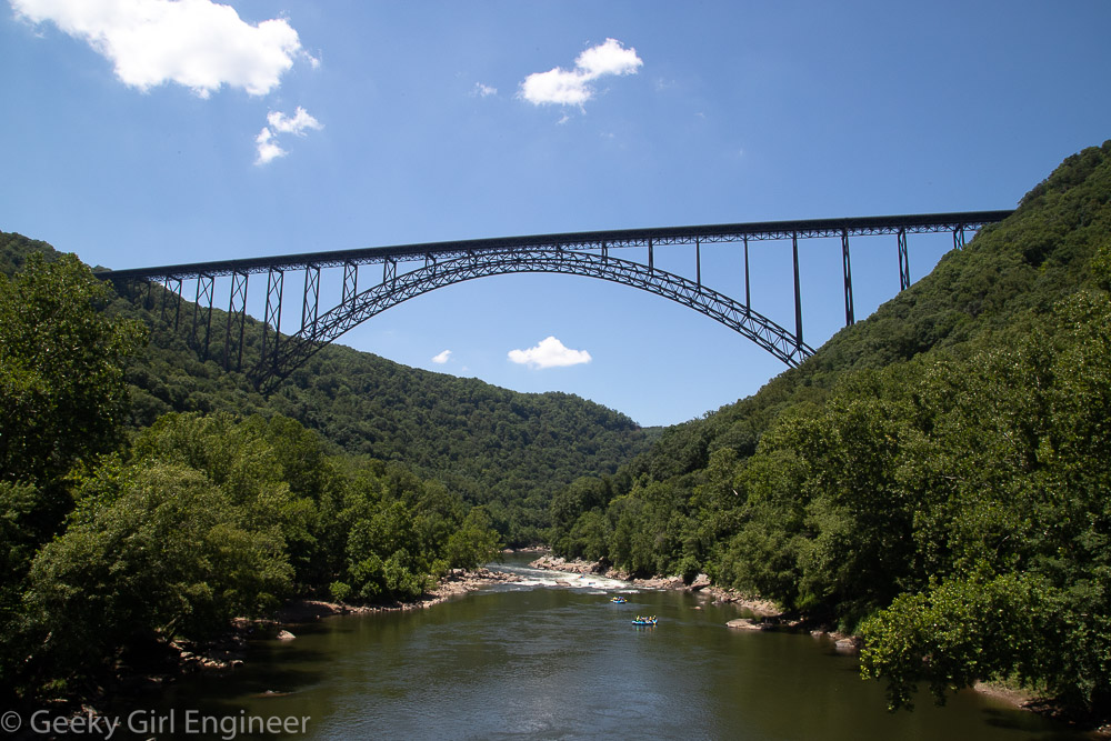
Turkey Spur overlook with Thomas Burford Pugh Memorial Bridge over New River in foreground and New River also in mid-ground
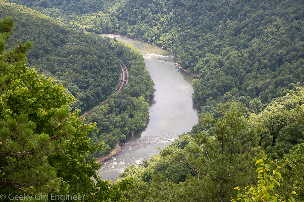
Turkey Spur overlook of New River
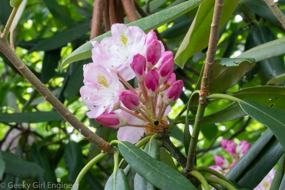
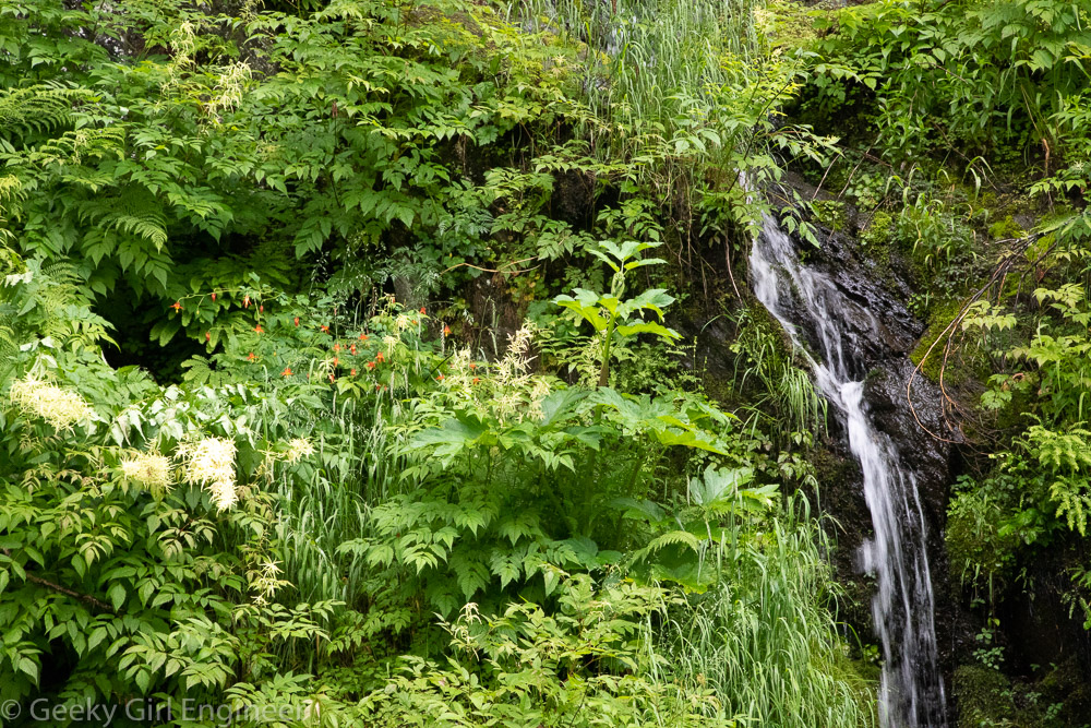
Rhododendron