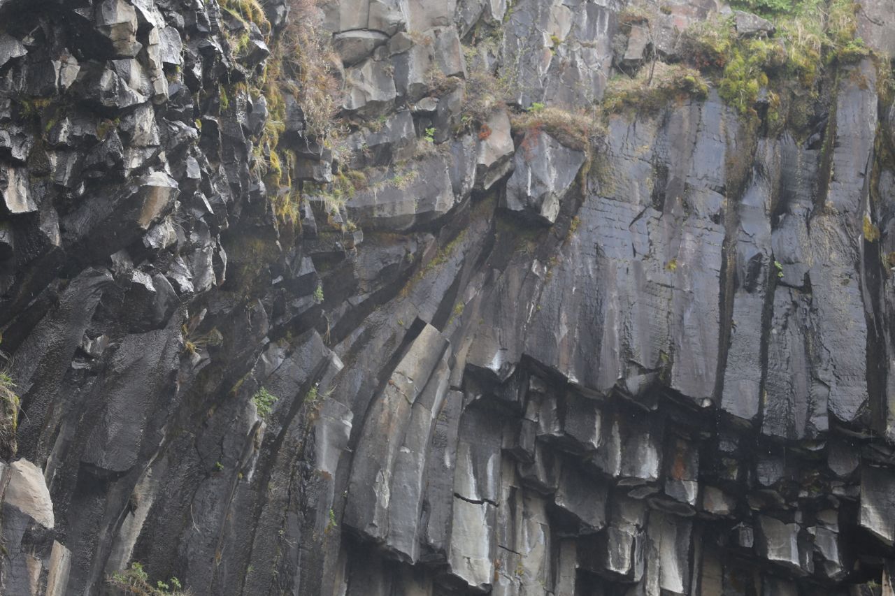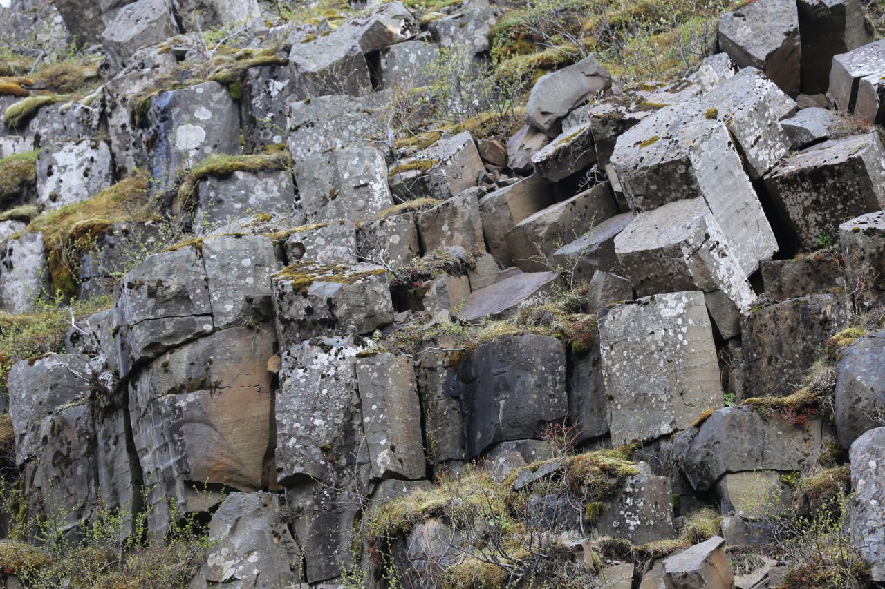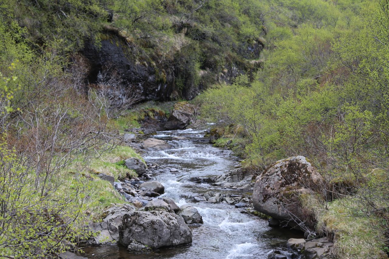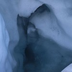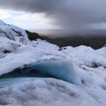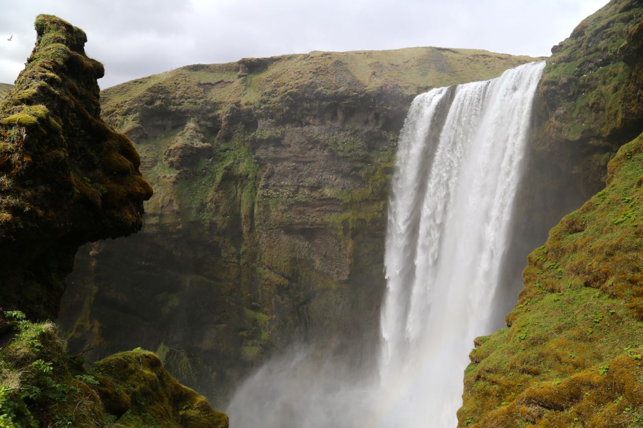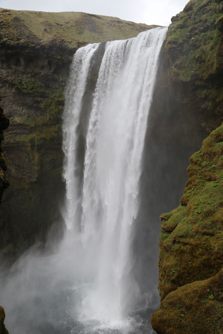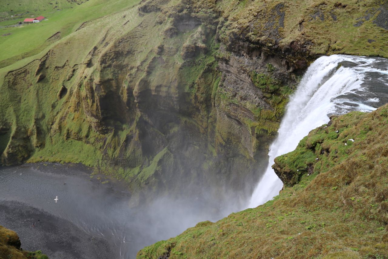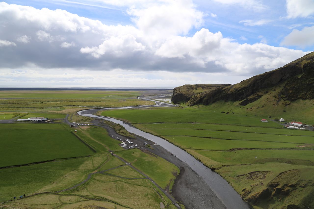
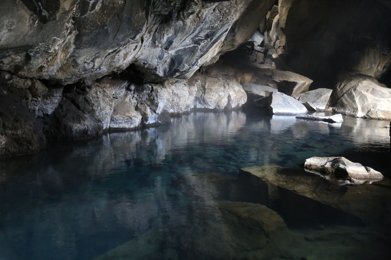
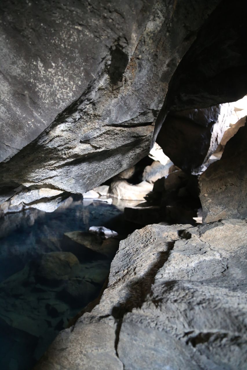
While exploring the Mývatn region of Iceland, we visited Grjótagjá. Grjótagjá is a small cave that has a geothermally heated natural pool inside it. It used to be used for bathing until volcanic activity in the 1970’s raised the temperature of water too high. It is still really cool though. The water is crystal clear, and steam can be seen rising from it. Above the cave, the landscape is fissured from the volcanic activity. It is just an incredibly interesting area.
Grjotagja
Grjotagja
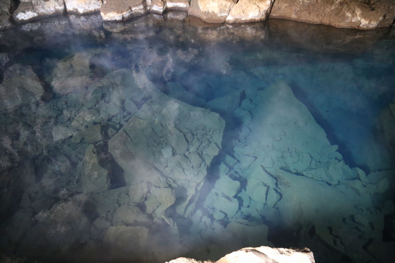
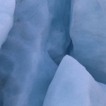
Grjotagja’s crystal clear water
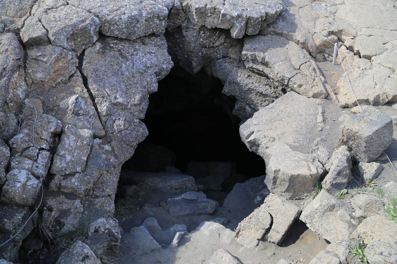
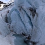
Grjotagja cave entrance
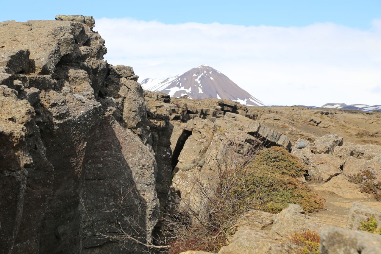
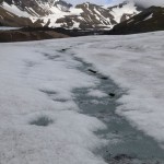
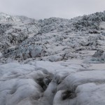
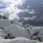
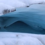
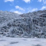
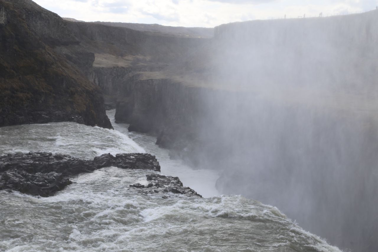
Fissured landscape above the cave
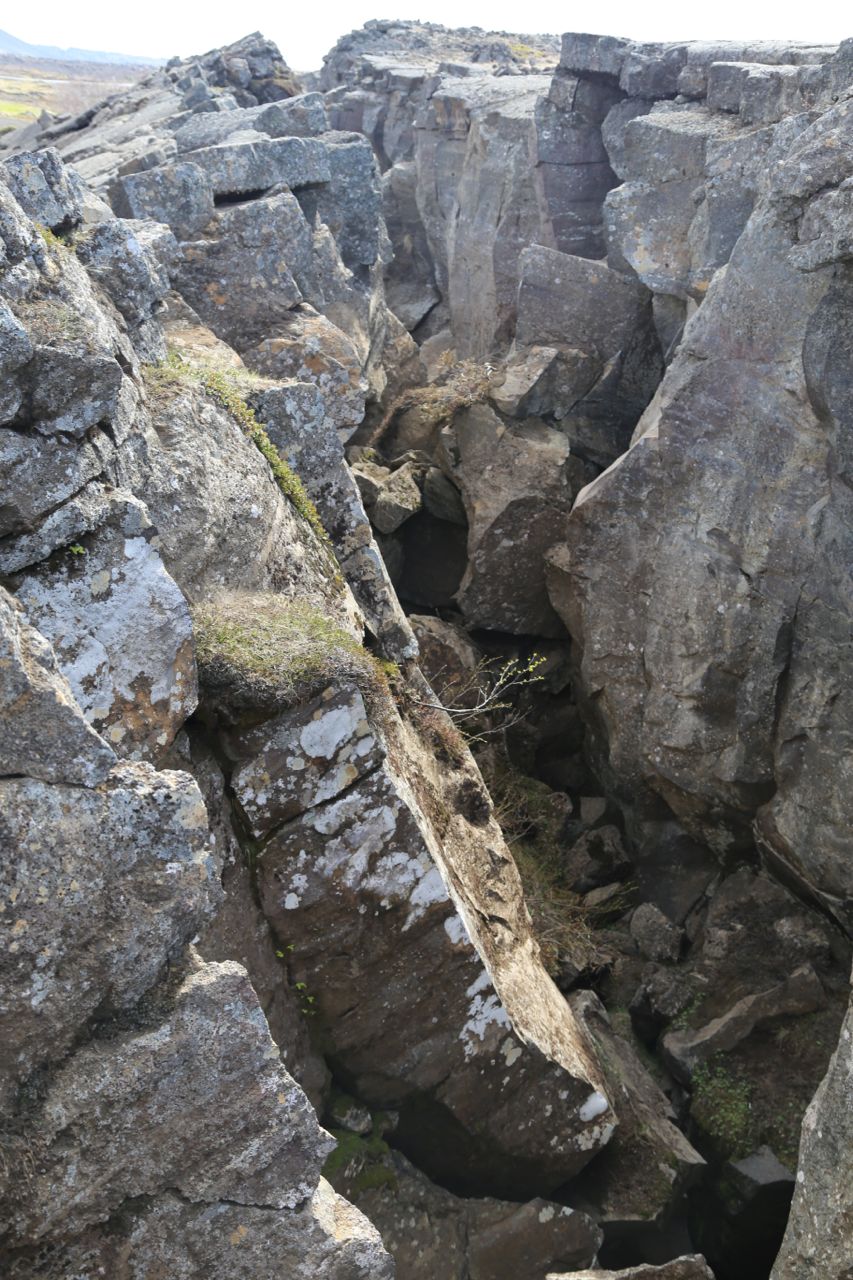
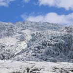
Fissured landscape above the cave

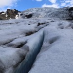
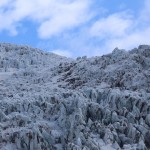
Fissured landscape above the cave