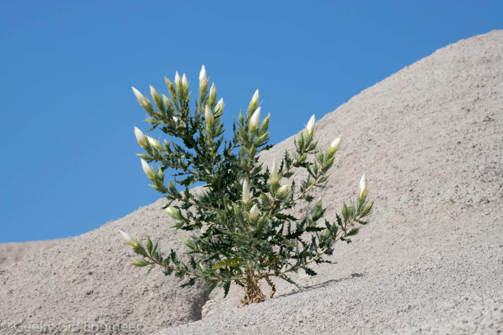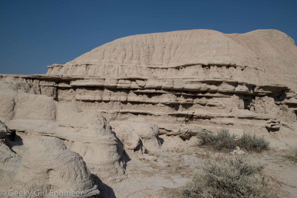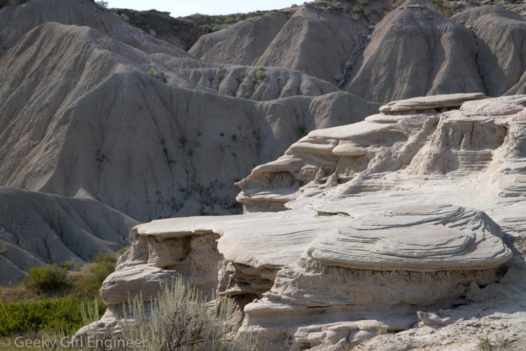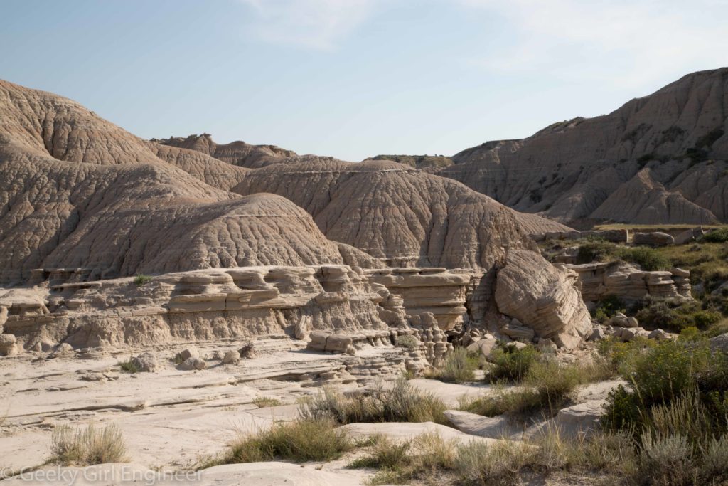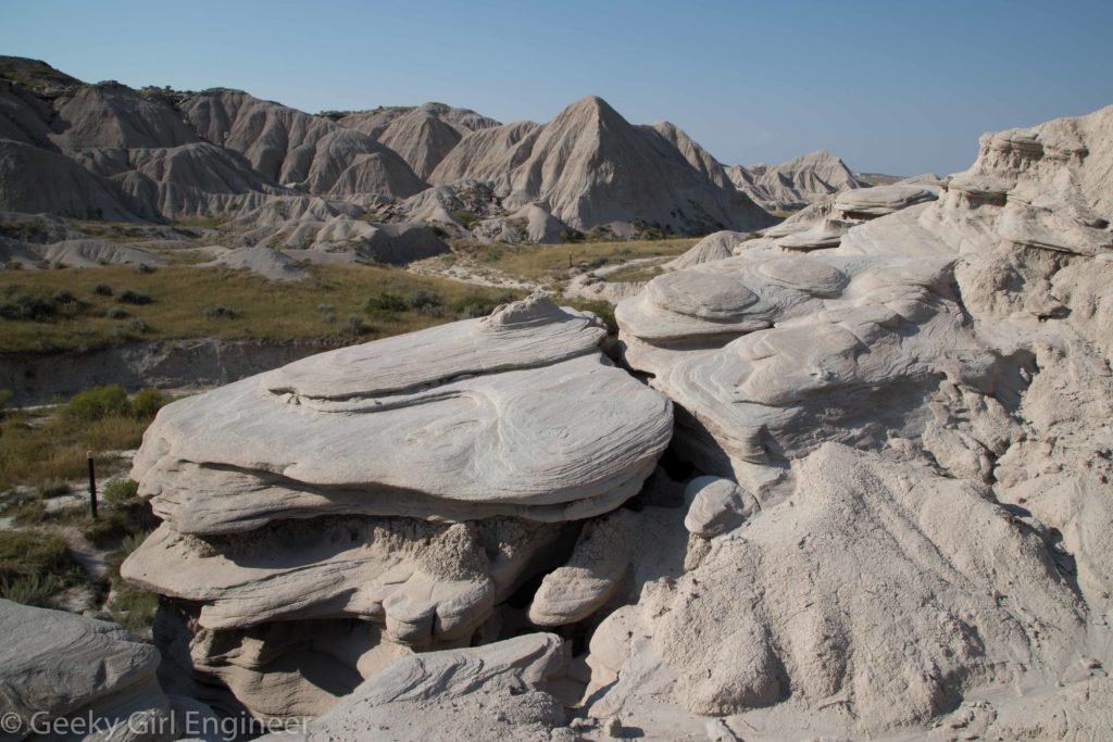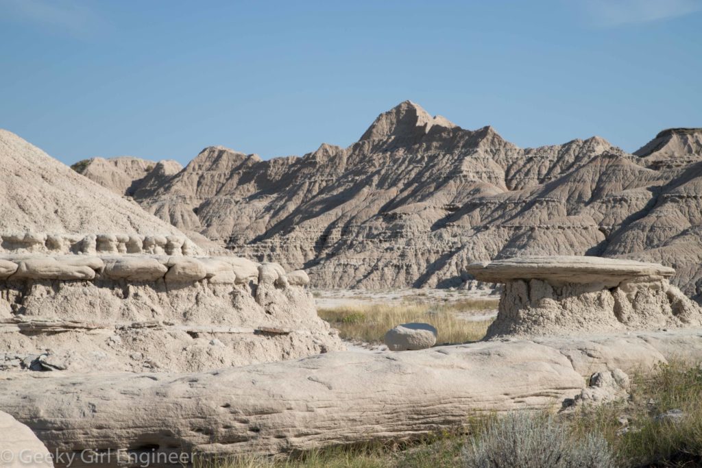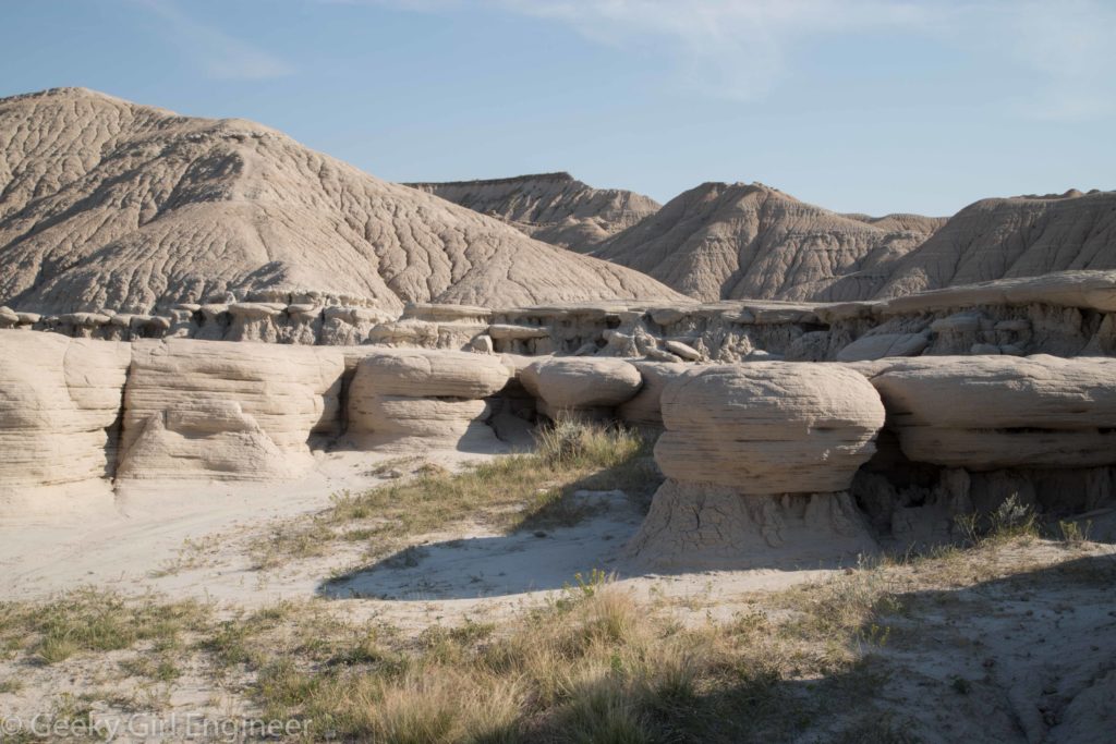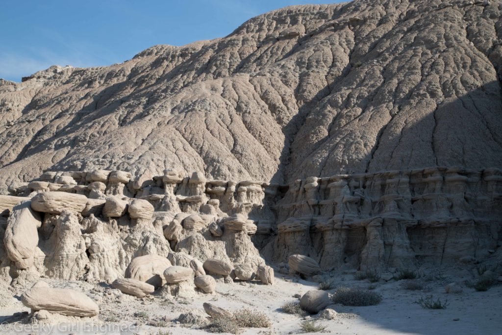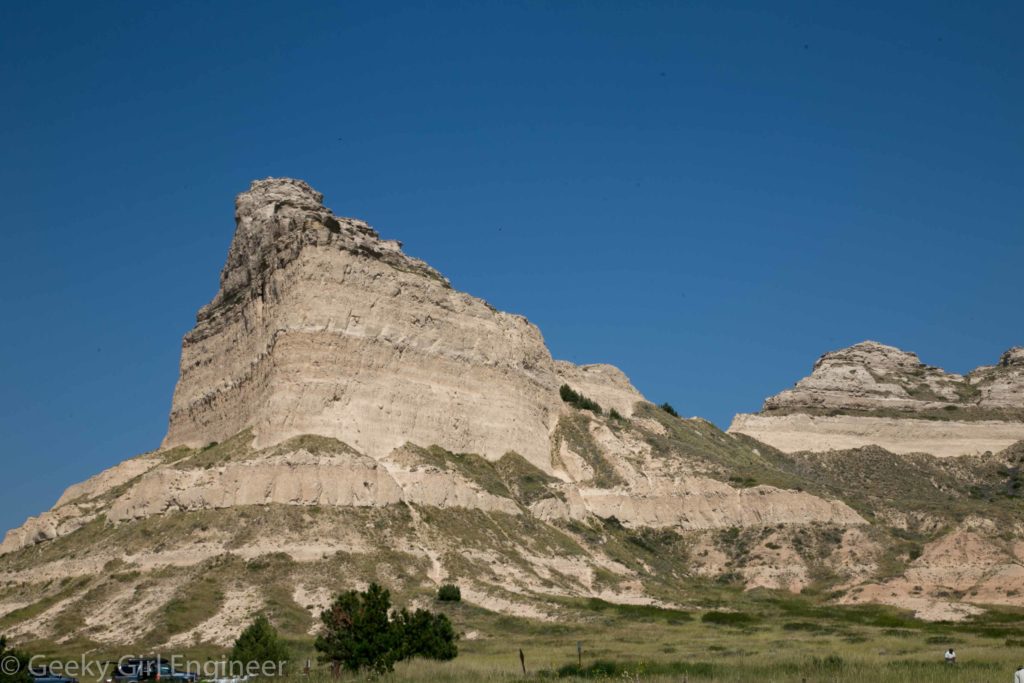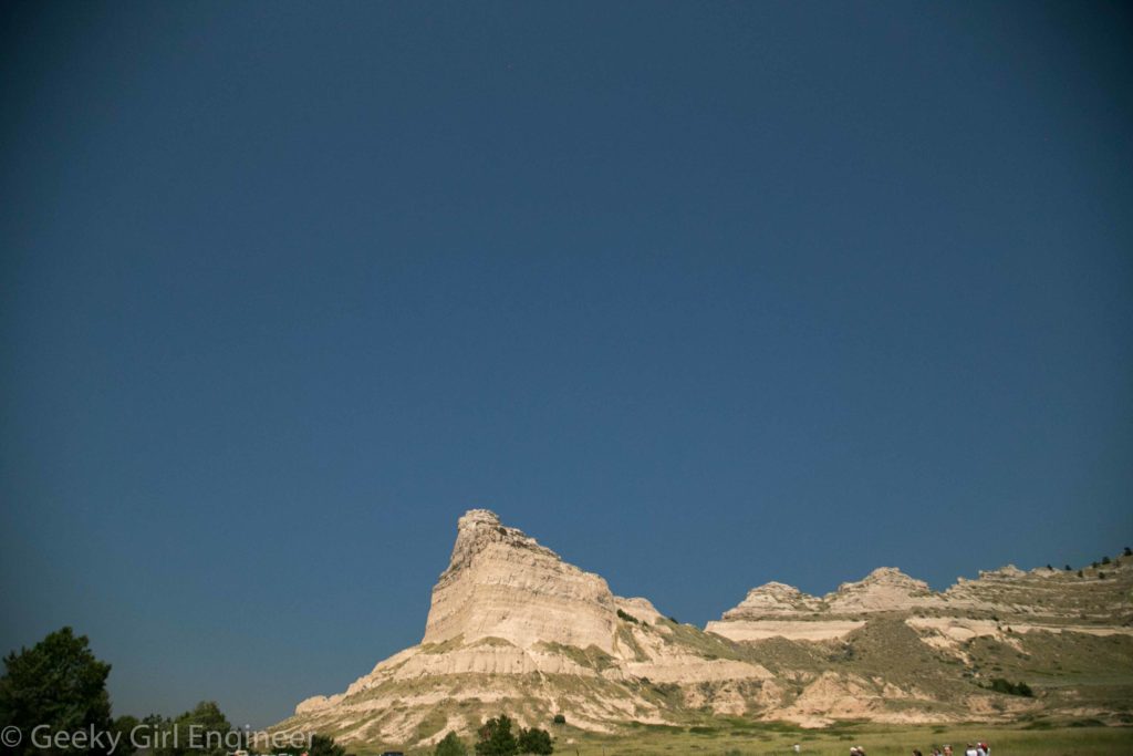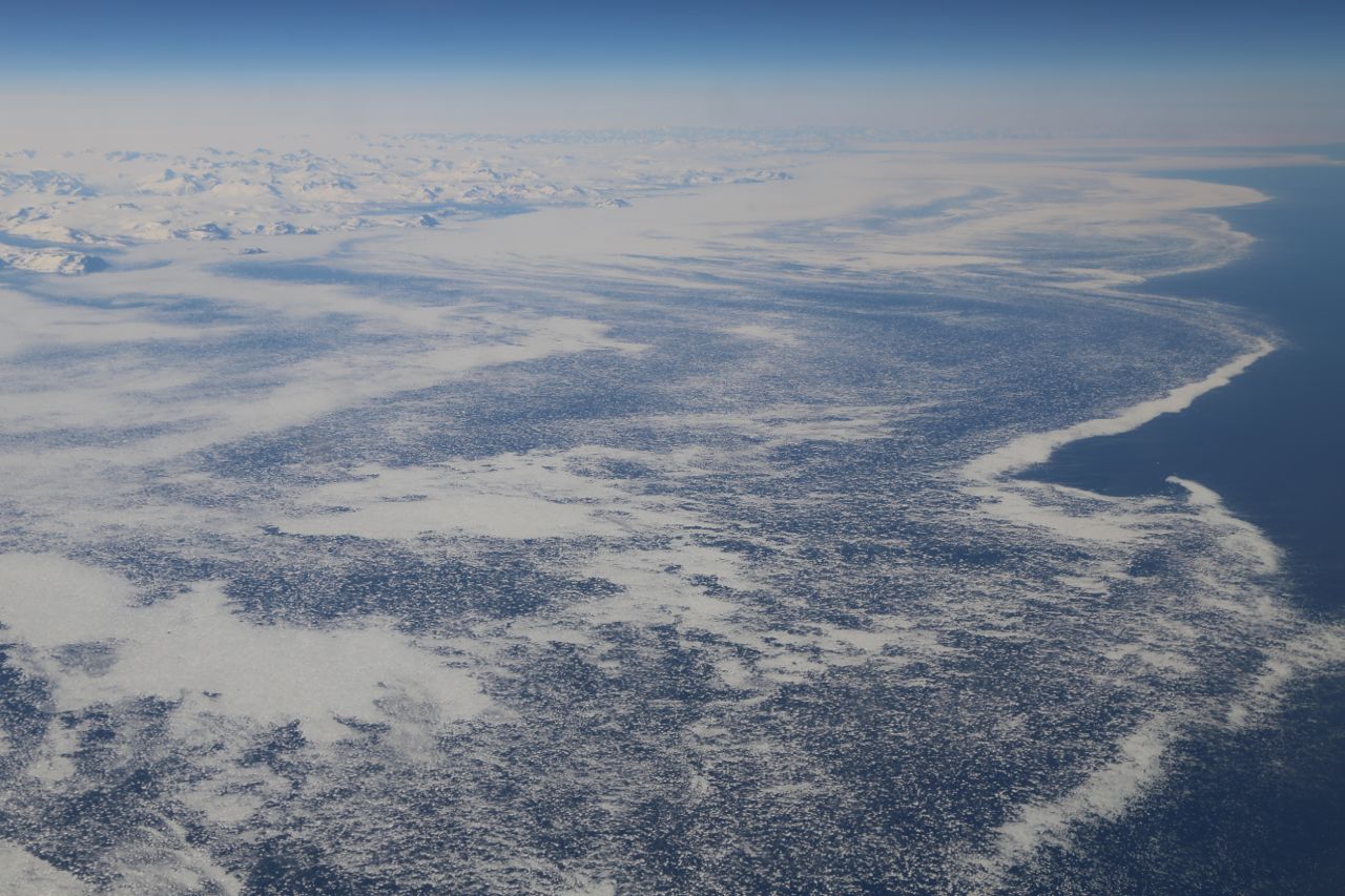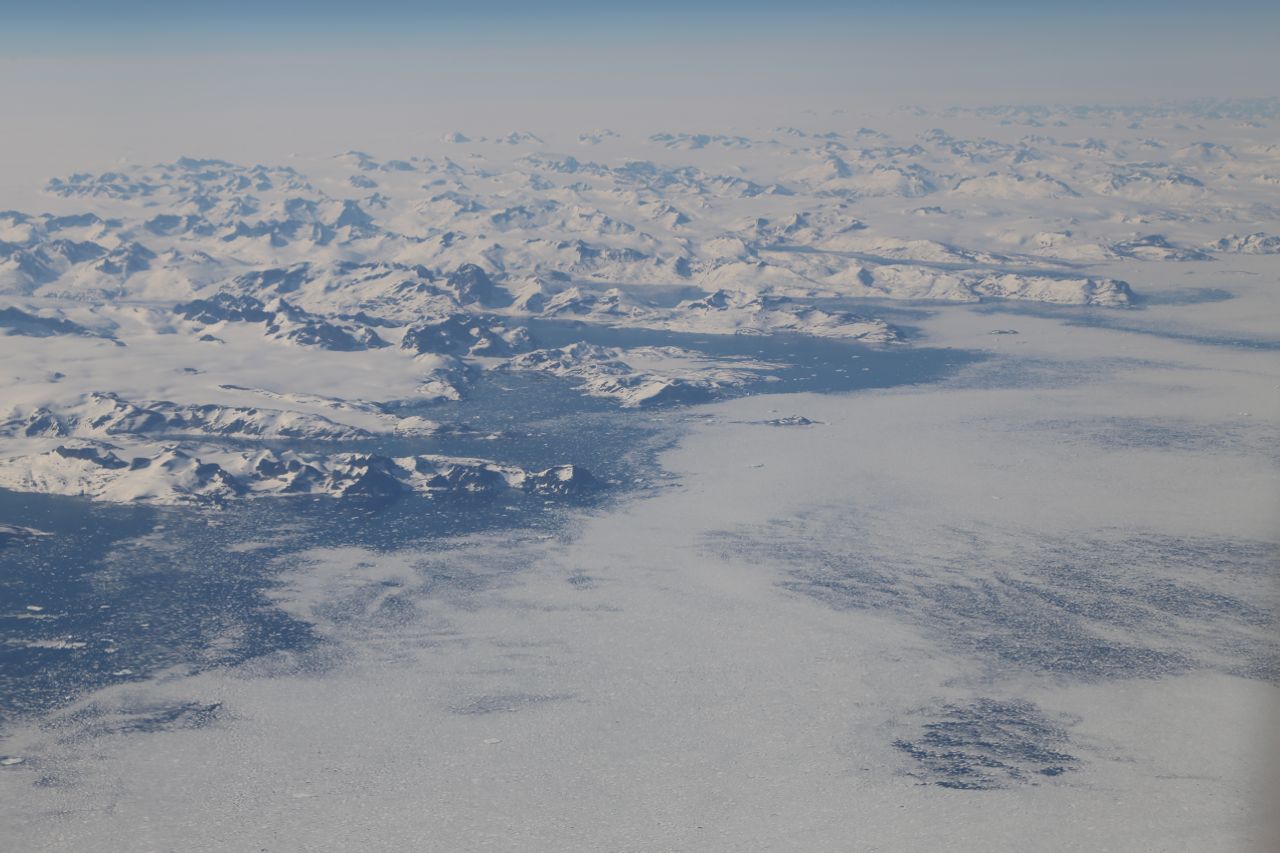
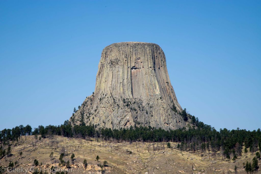
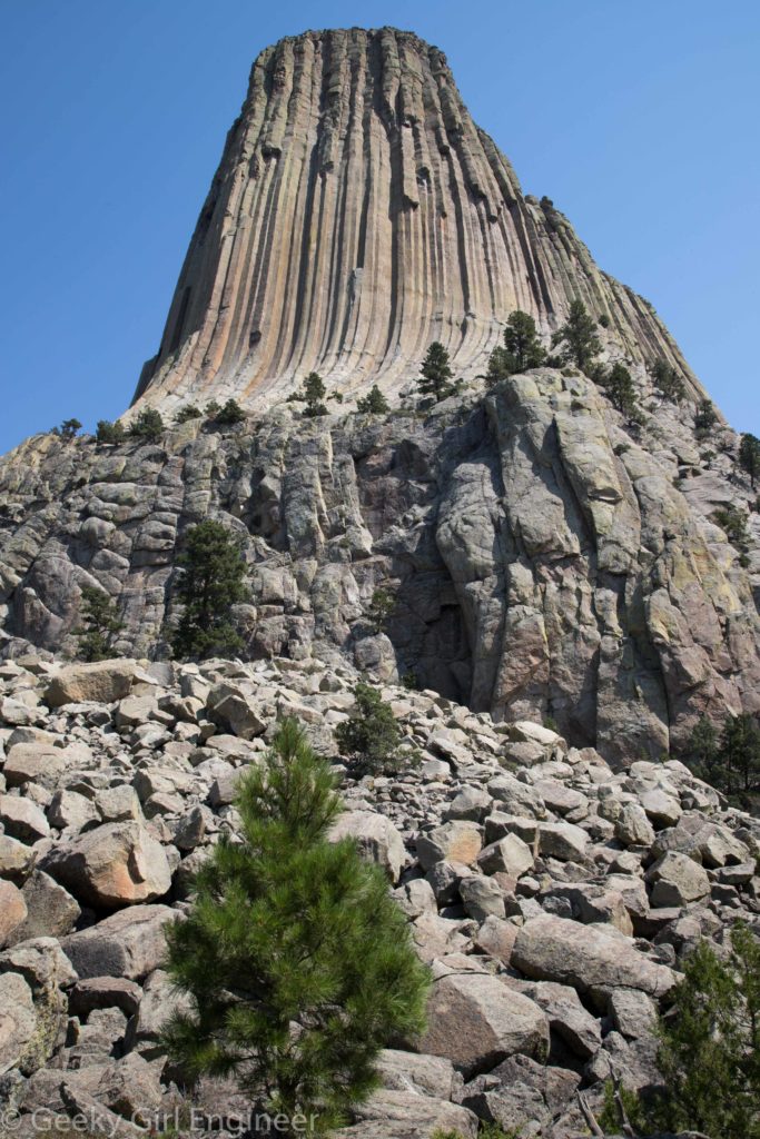
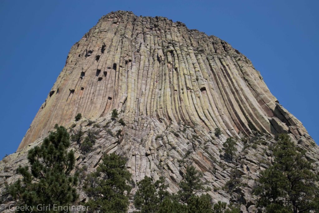
For my trip out west, I wanted to visit many sites that were kind of in the middle of nowhere. Devil’s Tower fits in that category. I don’t think photos can do it justice. As I was driving to it, the road I was on curved, and then Devil’s Tower just appeared. That is what is so amazing about it. The area around it is pretty rolling countryside with some of the black hills, but then this columnar rock tower just appears. The trail to walk around it is a little over a mile, and even while walking that trail, I still was amazed by its size and how much it stuck out of the surrounding countryside. There are exhibits on the trail that give good visuals to describe how it formed. Still I find it awesome.
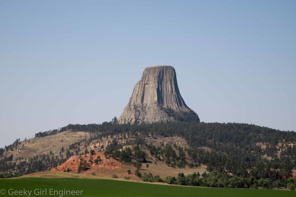
Devil’s Tower
Devil’s Tower
Devil’s Tower

Devil’s Tower
Devil’s Tower
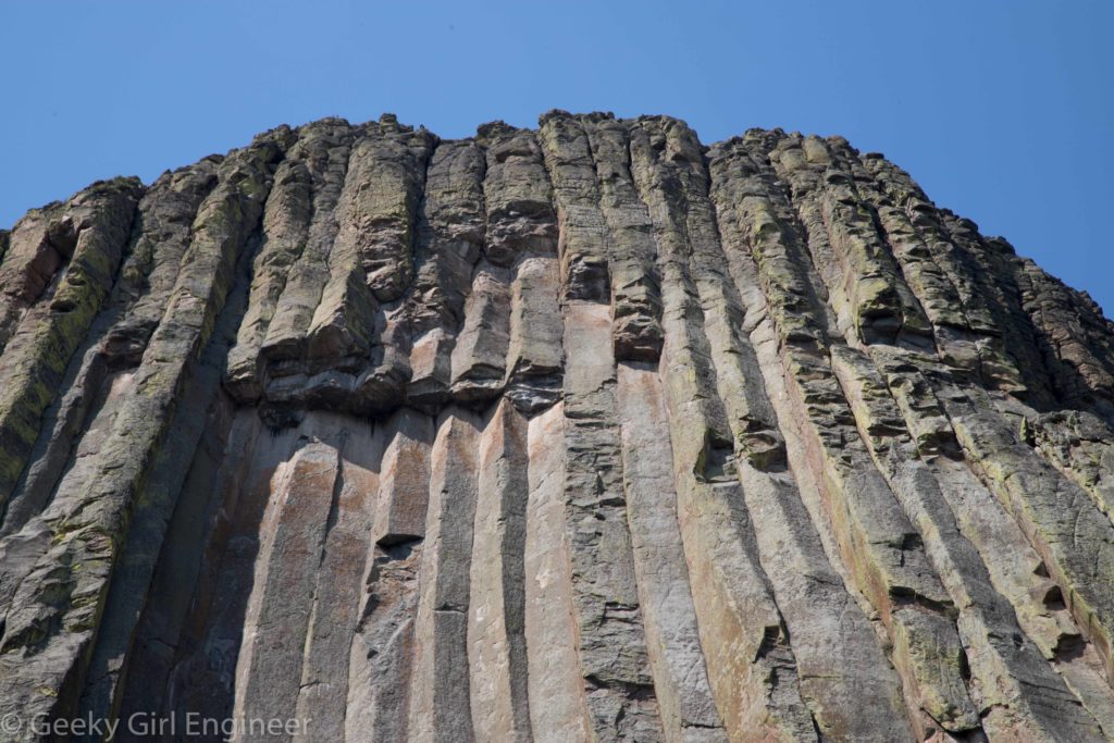
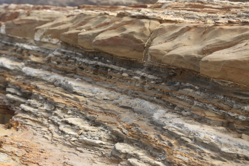
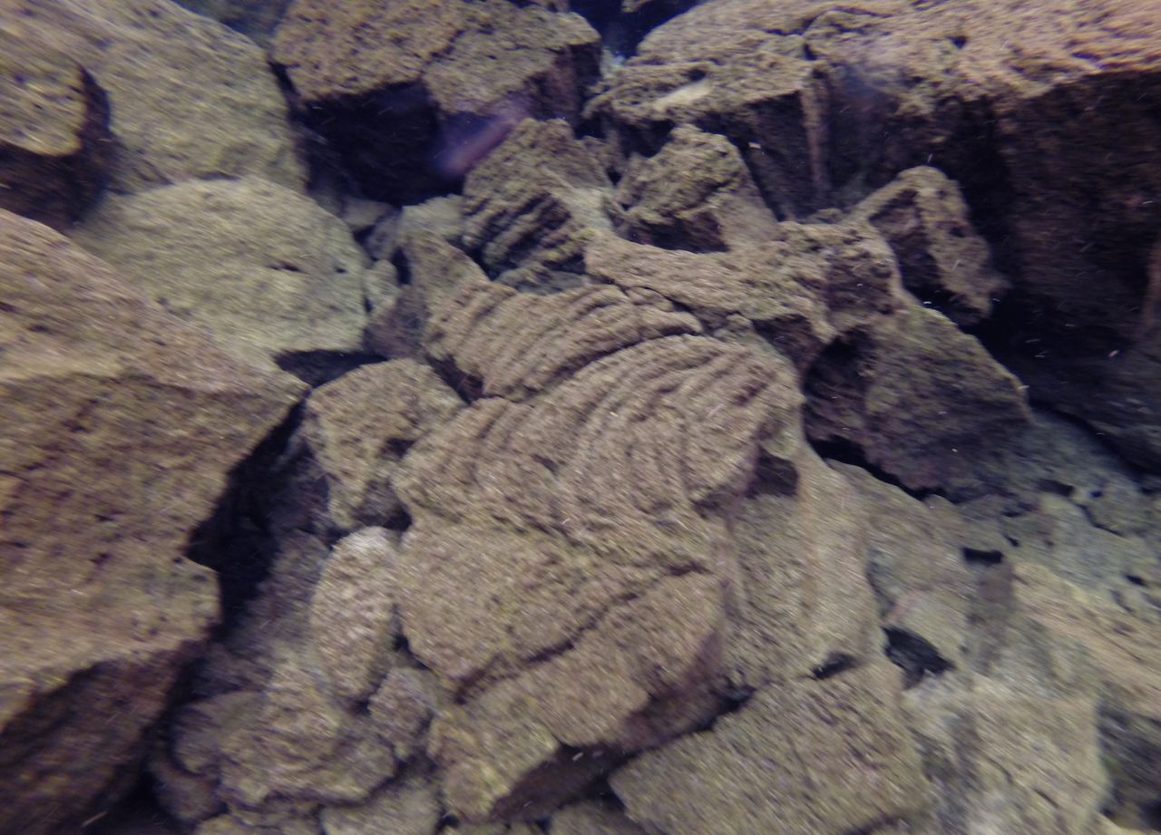
Devil’s Tower, close up of columns
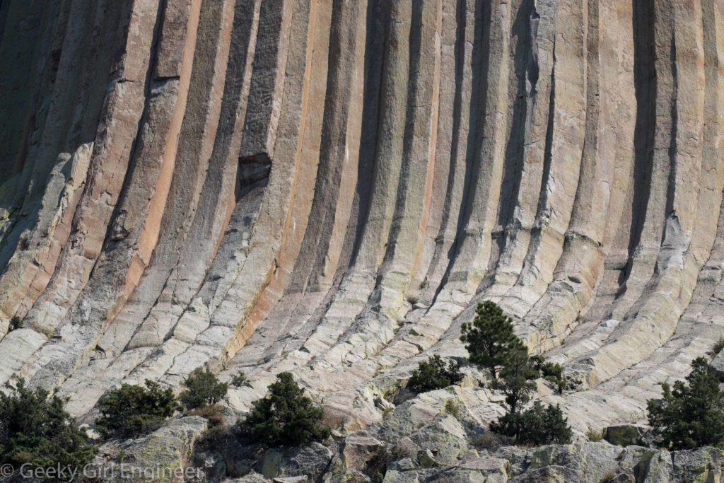
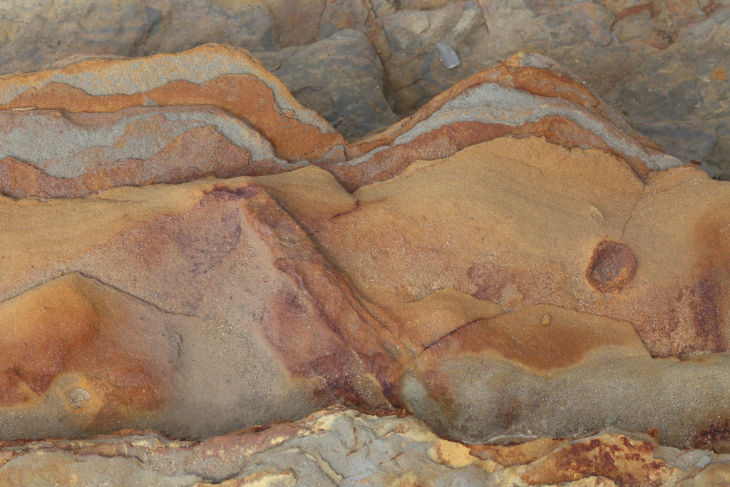
Devil’s Tower, close up of columns