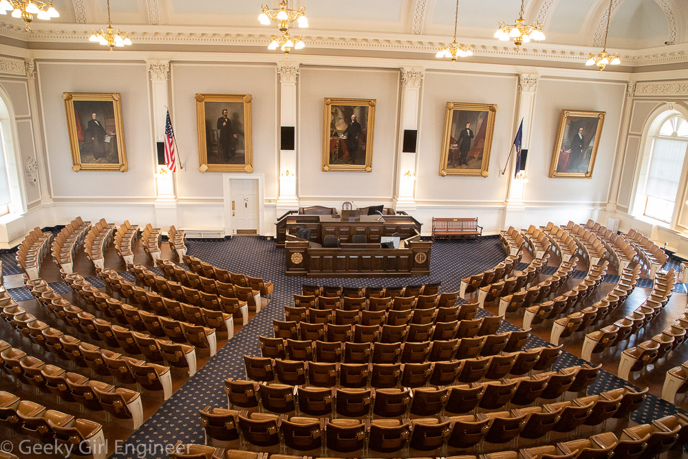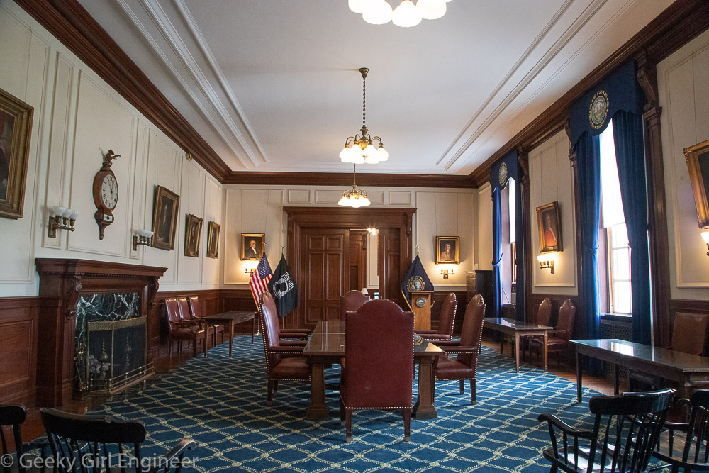
While touring the New Hampshire State Capitol, there was inexplicably a telephone booth in the Governor’s Reception Room. A sign near the booth said it was on display courtesy of the New Hampshire Telephone Museum. This museum was not something that I knew existed, and yes, this grabbed my attention. I needed to know more about this museum. Thus, after visiting the capitol and surrounding area, off I went to the New Hampshire Telephone Museum.
At the museum, I learned that they are not in fact the only telephone museum in the country. Clearly I need to do more niche museum research. The museum was founded by people who built a New Hampshire rural telephone company. It is actually quite interesting as they have telephones from various eras. They also had interesting displays about the various components that make up the telephone system and equipment used to repair and construct the system. They also had a working set of telegraphs powered by modern batteries, which I found funny.

New Hampshire Telephone Museum with front door painted like UK telephone booth
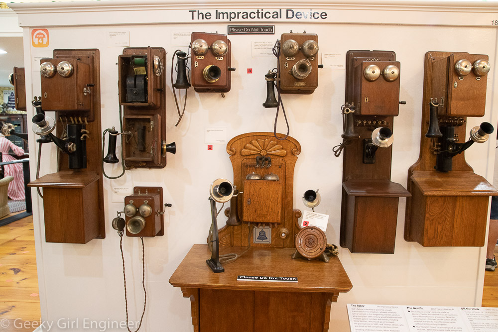
Original type telephones
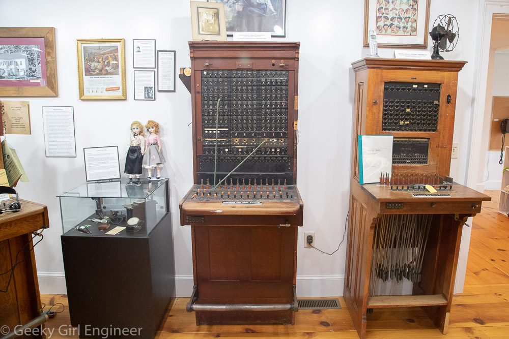
Telephone operator desks
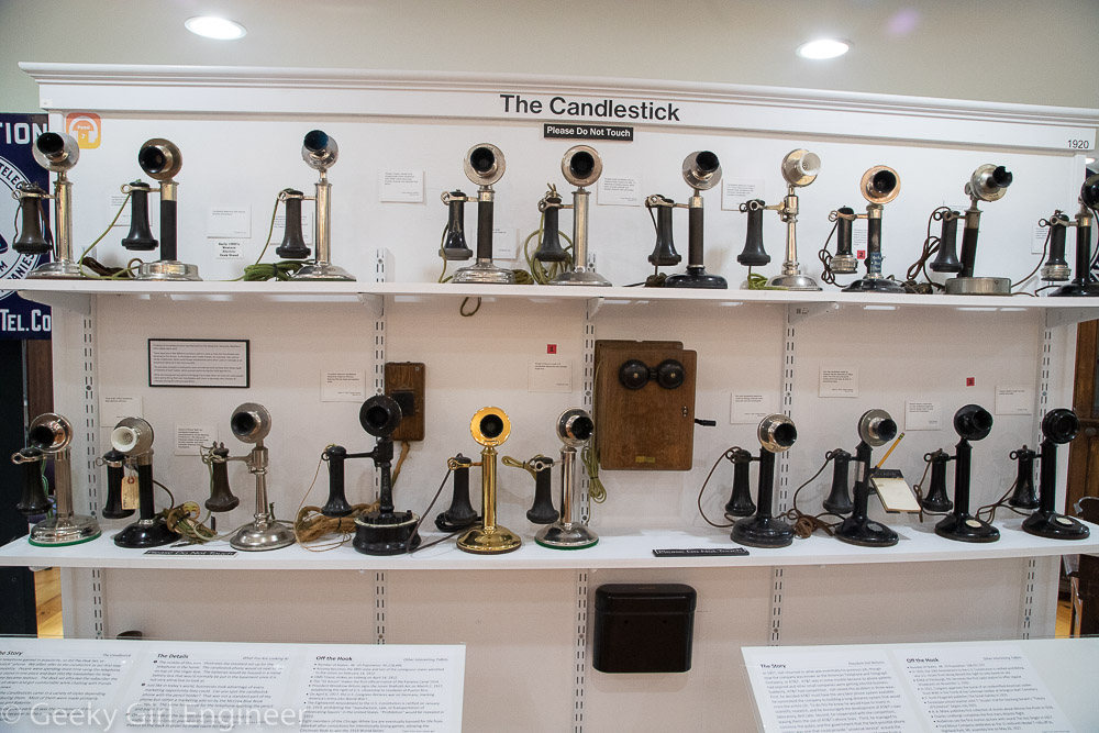
Candlestick phones
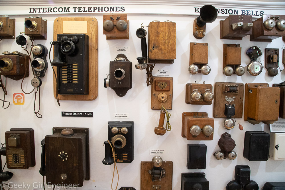
Old intercom phones
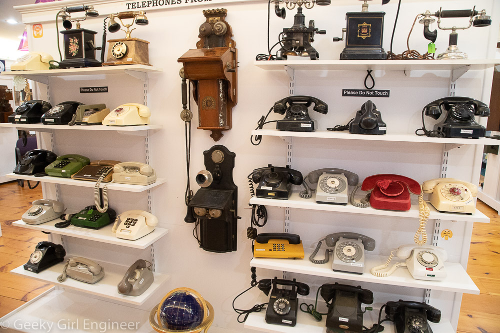
Not quite modern anymore phones
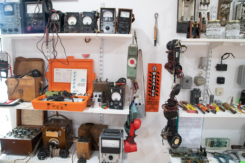
Telephone system repair equipment
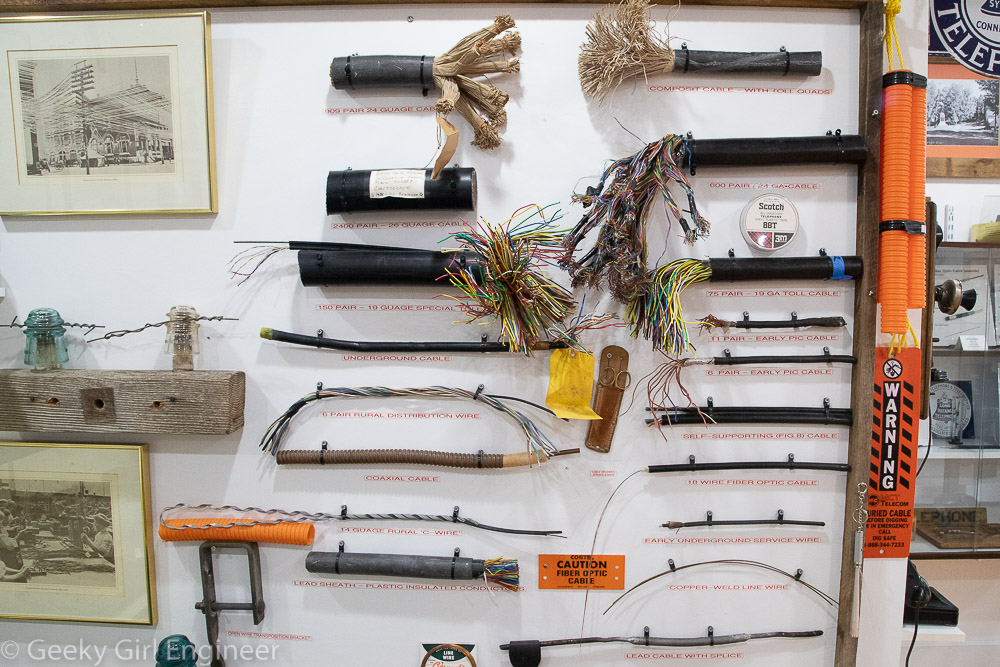
Telephone system wires
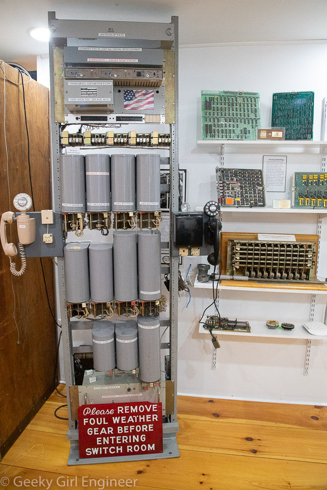
Telephone system circuitry
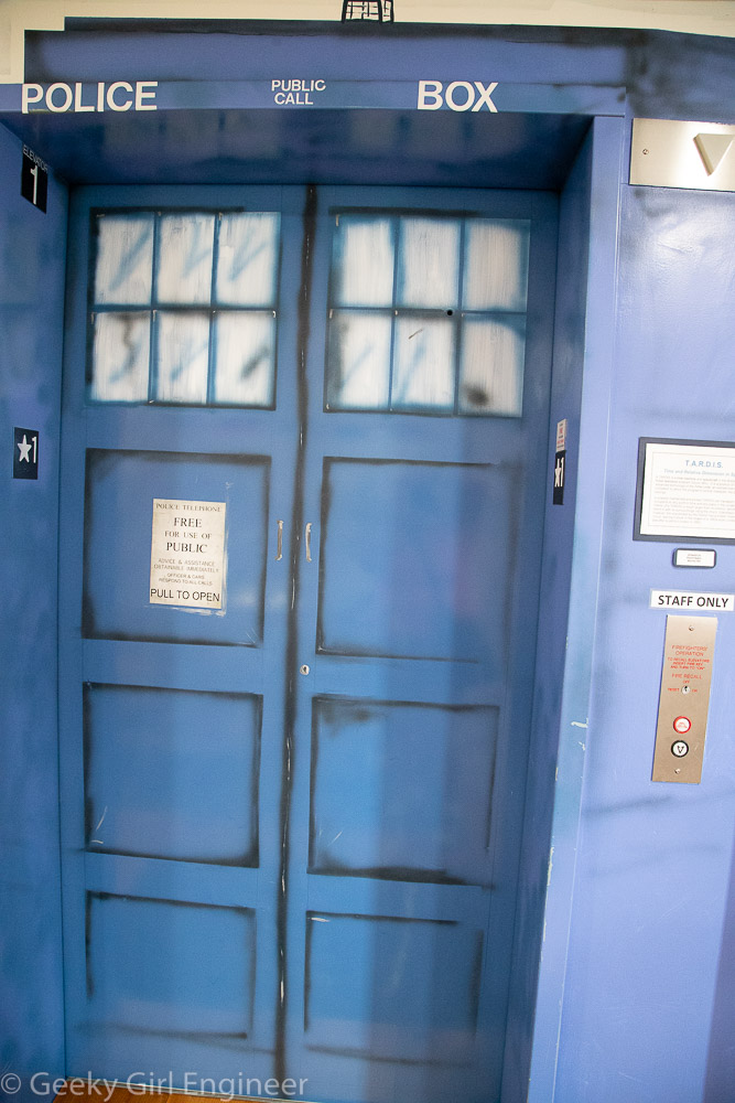
Elevator painted to look like a UK police call box